The weather was deteriorating, and we did not know if we would get a route today ... the cloud had been down all night, but we woke to clear(ish) skies, and leapt at the chance to get out.
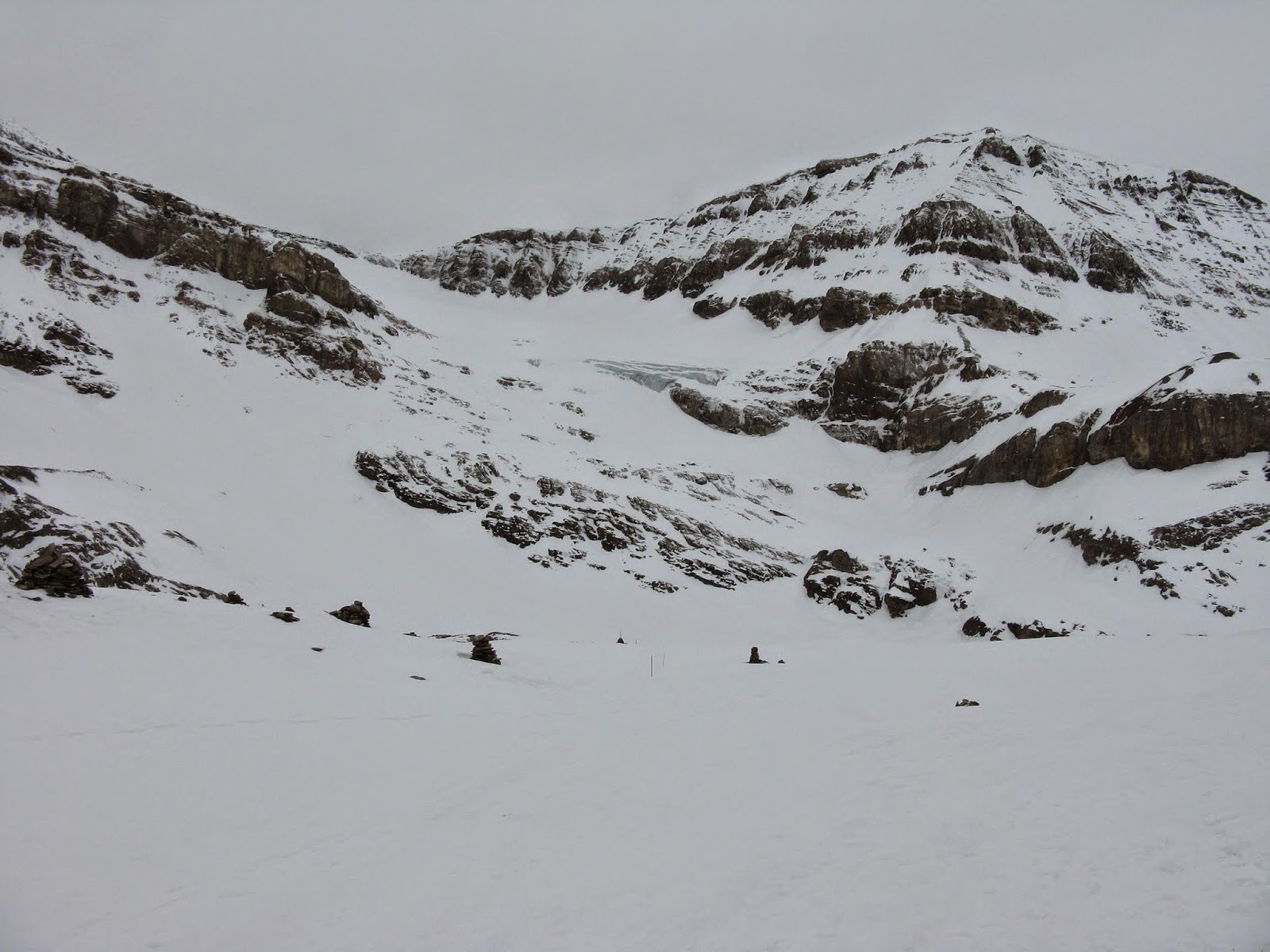
Once more skiing down to the glacier ... slightly lower this time to avoid the undulations, we reached the glacier and put the skins on.
The sun was trying to make an appearance
Talking amongst ourselves we chose to contour in from the right, rather than the direct route up the left.
We set off following trails from yesterday, however it was not long before we could see where the people descending had sprayed the surface breaks all over the track, leaving the going a little tricky.
As we started to move under the glacier snout, the surface got a little worse and the ski crampons came out. We still had a track to follow but now it was very slippery, and the edge was friable and broke away every so often to be annoying.
Under the seracs the wind was now blowing hard ... the tracks had all but disappeared and I was now breaking trail.
Progress was slowed slightly, but the going got less steep as we cut over to the rock band beyond.
As we closed in on the other side, we met a guided party who had come up the direct route.
I gratefully latched onto their trail, and was even more pleased as the trail now got very steep over the snout.
The route kept left almost on the rock band, and the guide was enhancing the turn points for his clients ... for which we benefited greatly and eased our nerves for the steep turns.
Over the top of the snout the full force of the wind hit us ... the light was very flat and the route took a curving line around the bowl ..
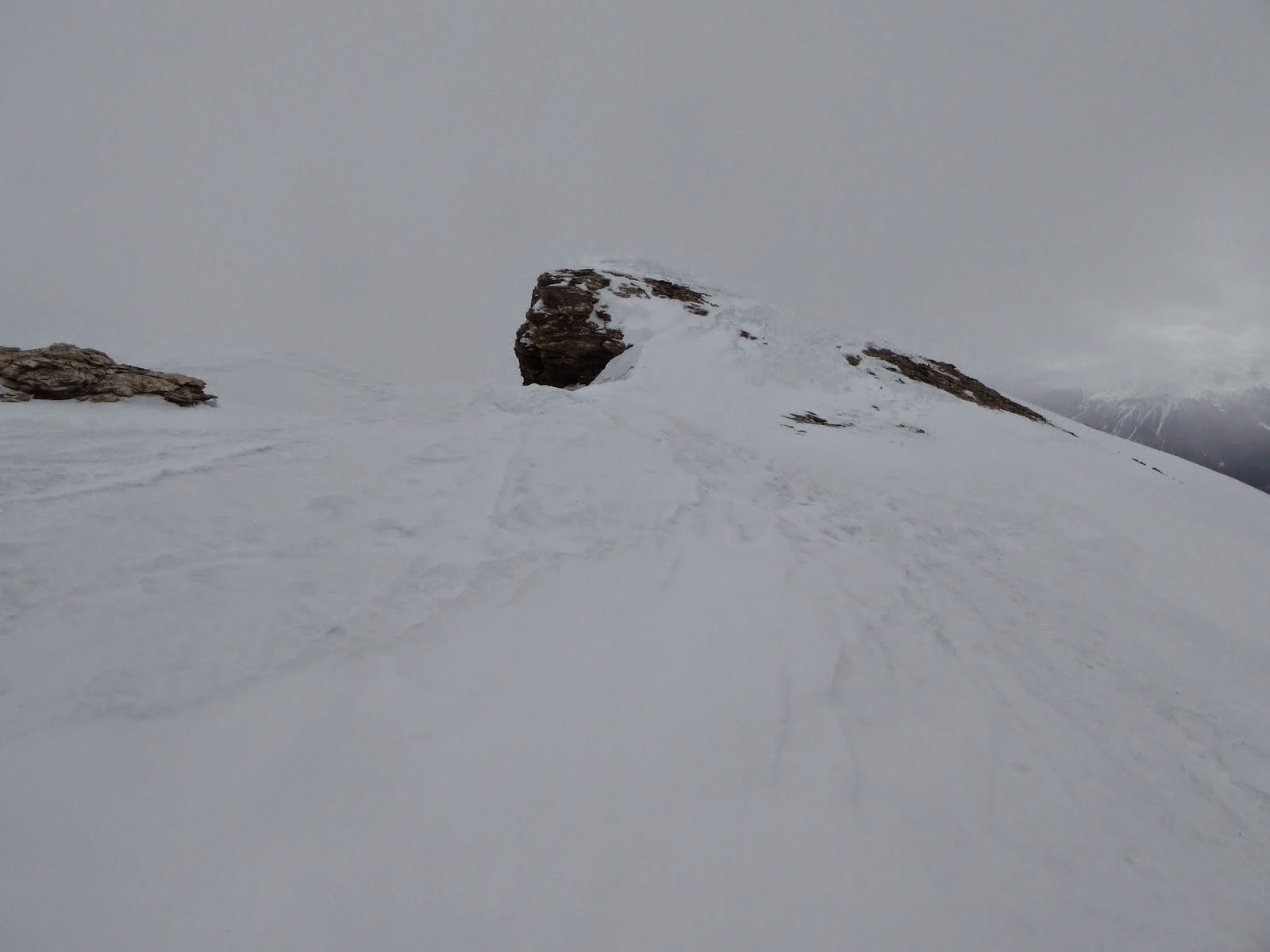
We all had assumed the top was the cross on the peak we could see on the skyline.
The closer we got the more I thought we would be walking to it ... the right hand side had a cornice up to the ridge and the left was a rock step.
However the trail curved further left, around in front and up to the rock step side
As we passed the col, the route headed off into the distance following the ridge line .... time to consult the GPS, Maps and have a team discussion.
The trail was right and we needed to keep going a bit further.
Thankfully Bryon had seen me getting slower and slower on the section to the col and had taken over lead ... I was tired from the trail blazing, but also the constant buffeting of the wind, It was easier in the shelter, but the top could not come soon enough.
The top was very wind blown and the cloud hovering around made me anxious to get going... not before some calories.
We also saw the group that had been ahead if us take of and descend the valley below .. a note for the future that this would be a good exit.
poor visibility and flat light ... heading back to the col at least there was some rocks to give definition.
Once over the col the pace dropped to a walk as I snowploughed gently, trying to work out where we should go and how steep, etc.
Some relief watching a party drop over the cornice and work their way above us.
As we came to the lip of the glacier, by a mixture of GPS, seat of pants and luck, we crossed the uphill trail. We know knew we were in the right place.
The steep section proved tricky ... long deep curves got us down.
Below the seracs we turned right .. across to the direct route down, and as luck would have it, our reward ... some really nice snow on a firm base with enough light to see the slope and where to turn.
After the delights of the descent, we now had the climb back to the hut, and the joys of looking back across to the route.
A good day in general, celebrated by the others having half a rosti each and me more tea.


