06 April 2014

Finstertaller Stausee, Austria

Dismal day really ... Bryon's back was still playing up, and he cloud was down. One good thing was that we could have an explore and see if we could work off his back and then make a decision.

The aim was to head up to the dam and see how things went .. if it was good we would continue, otherwise call it a day.
Outside the hut we got ready in the usual manner, and although we were not in a hurry,, we still the first away.

Heading up and across the ski area, which seemed to be preparing for a half pipe and snow board tricks competition, to the Rodel run on the far side.

Then up a red run, the prepared snow was slightly crisp on the top but this would not last long.

Up at the Graf Ferdinand Haus we left the piste and headed along the service track to the dam base.

This was a little sparse in places and we had to traverse above it .. the uneven nature of this with one foot higher than the other was not good for Bryon and we realized that the Dam was the target for today.

The trail cut across the face of the dam in a rising traverse then zig-zaged up the the other side.

Finally coming out at the top.


The water was still and reflective, a somber feel for what would be our last route this trip.

We took off the skins and readied for the descent. A little bit hesitant as the snow was a little crusty to start with.
Once teh initial turns had been made we were soon into our stride, and by the time we were back on the piste it was back in the groove ... the piste was slushy and it was only 11am! ... definitely supported the need to go higher or go home message.

We did not want to risk Bryon's back any more so after packing everything away and taking our leave of the hut, we started the long journey home.

This time we did not drive through the night, but popped up the roof  just before Belgium and grabbed a few hours in a rest area - I was worried I may not sleep through the noise, especially as the trucks started up at midnight ... but not problem, I slept through to 6am.

So ended another trip.

05 April 2014

Travel Day, Austria

 Our time at Gries had come to an end .. and also with Bryon's back still troubling him we took to opportunity to explore while changing locations ...  the original idea was to have moved around to the Silvretta area and do some hut tours, however a trip around to the Sellrain valley and then onto the Otztal region would hopefully lead t some new ideas.

The first stop was down the valley south of Gries am Sellrain (not to confuse it) and to a village called Praxmar. a route we both had wanted to do left here - Lampsenspitze, and this was a good opportunity to check out the layout etc.
From the car park you could see the departure, and higher up was a second potential target - Oberstkogel, where Bryon used his zoom to pick out several parties on the summit approach.

from here we continued along through Kuhtai and down to the Oetztal valley, the descent was quite tight at times, and the brakes were smelling a little as we dropped down into the valley, from here we set off South following the signs to Obergurgl. the valley was a main run to the ski areas and would need much more detailed work to find good routes, and once we got to Solden, then it was clear we would not gain much, and after a brief stop for lunch we headed back to Kuhtai.

The idea was that there were a number of routes around the ski area that we could chose depending on Bryon's back situation. We could also make use of the mountain hut on the side of the main road - Dortmunder hutte.

The town was very scruffy, with the retreating snow and general ski town clobber. After arranging a place in the reformatory, we headed off for a wander up the road and a piste map to find out where to avoid.

The dortmunder hutte ....  you could almost believe it was not stuck in all the civilisation.
The view the other side of the hut was even better, and much calmer.
Our abode for the night ...  on the surface it looked like a normal mountain hut,
The food was good - not as good as at the Alte Poste, but then we had been spoilt there, and the accommodation was cheap. However given its situation our companions for the night were the major disruptive influence. I guess the ability to park next door, and this being a weekend, did not instil the usual niceties of a mountain hut, and the drifting to bed, (and use of electric toothbrushes!) together with constant restlessness, and squeeky bunks, made for a disturbed night.

04 April 2014

Niedererberg, austria

The skies were clear again, and we wanted something relatively challenging to see how Bryon's back would cope ... was it truly crocked, or just a niggle.

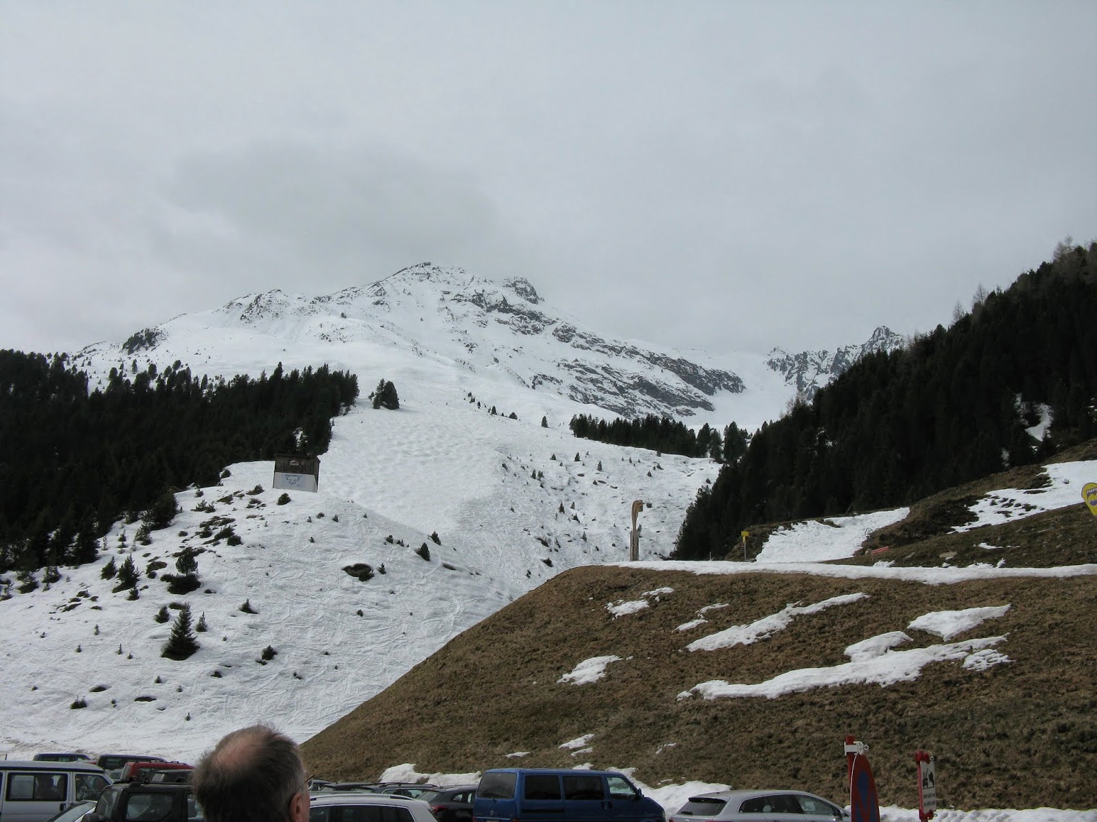
We drove the half mile up the valley to Vinaders - the jump off point for this route by the church..  Not really sure how the bottom of it would be with all the recent melt and snowline retreating.

Once there it did look like we would be able to make a day of it, without too much walking!
We set off up an obvious track beside the river, following a number of trails made several days before (when there was more snow). All was going well following a wide track, until it came to an abrupt halt at a weir.

This was the water take off point for the village, and although people had used it for the descent the track was somewhere else in the trees. So skis on we fought up a very steep bank, balanced precariously above the river and wound a tricky route upwards.
We followed the track for a short while as it crossed the stream, and then cut back up the river following the ski trails.

As this went through the pasture it was very pleasant, until it steepened again and we were alternating between meadow and woods .. in the woods were a few bare patches to be negotiated.

Unruffled we continued and eventually the tracks brought us back to the main trail, which I assume is the access track in the summer.

A short steeper section brought us out into a wider section of the valley and finally we could see the frontier ridge at the head of the valley. This gave some perspective to the day, and the remaining climbing.

I did not feel it at the time, but looking at the pictures there was a quite a slope across the track, as we approached the niederbergalm - a summer farmhouse serving the upper pastures.

Panorama from the Niederbergalm looking South to the frontier ridge
Now we were into the upper pastures, and leaving the trees behind. the slopes were very wide with long islands where the snow had melted to show the heather and grass tufts below.

We made a diagonal ascent, avoiding the grassy bits where we could. The route we were following went below the summit to the col beyond and then back on the ridge line.

As we neared the col, it became clear we would need to cut back up early to keep on the snow, and meandered through some very interesting "features" to get up to the ridge line.

Once on the ridge we could see the frontier ridge behind us and across to the Grubenkopf and the other peaks we had been among a couple of days ago.

The summit cone was a small rocky lump very reminiscent of top in North Wales and Scotland.

By some good fortune and a circuitous route we were able to find a thin trail of snow all the way to the top.

The summit book was very wet and mouldy, but there was enough definition to see that no one had been up for a week.

Sattleberg, and over to the Vennspitze and beyond.
The day was very hot and muggy, combined with the lack of a good hard frost the night before, we determined that we need to turn around quickly.

The original plan was to come down the route to the North, but with the patchy snow we chose to return the way we had come as at least we knew where the snow was!

The snow was quite heavy, but was still corn like - so gave us some easier passage.
After the top section we dropped onto the open slopes below, and other than worrying about the event of wet slip avalanches, we were able to make excellent progress and also good lines.

All too soon we had dropped into the valley bottom above the Alm
From here it was down the track .. with the occasional corner taken directly.

Combined with the odd tricky section with a compression.

Bryon's back was playing up with a vengeance, and anything other than straight schussing gave him a problem. So from here onward we took it very gently and carefully
We opted to follw the track properly all the way down rather than our ascent tracks ...  this worked well until the patches of snow became less frequent than the road sections, and we ended up walking - the nature of which (on snow and slush then on road, etc.) was not good for Bryon.

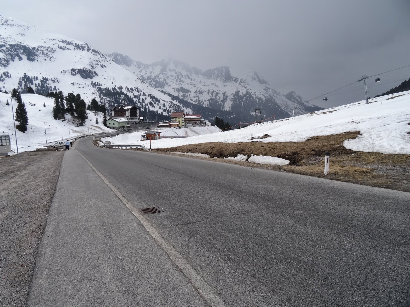
Eventually we came out on the paved road, and a convenient seat, so we could rest and prepare for the last walk down to the van.

An enjoyable day, which tested Bryon's back, unfortunately the signs were not good. Tomorrow we would have a travel day and then see what was still possible.


03 April 2014

Explore Brenner, Austria

 The forecast for today was starting off good but cloud coming in through the day ...  however with Bryon's problems with his back we would take it easy and do some exploring.  First I wanted to go into Italy and look at the other side of the frontier ridge, as well as also looking at the trains on Brenner pass.

Then we would see what could be found about the routes going up from the pass to the East, and whatever else took our fancy.

The pass was nothing spectacular and was really a train station with a host of retail opportunities for the general shopper, especially those looking for outlet shops.

We soon dropped down the other side and made our way up the Pflerschtal valley. The other side of the Grubenkopf.. the Northern slopes were vastly different with steep rocky faces.

We also had a quick look at the Ladruns ski area... One of three small resorts all gathered around this valley.
After this we headed back up the pass .. and after obligatory stop to prove the retail experience was not for us, but also to pick up some supplies for lunch, we had a look to see if we could get up any of the little roads and what he access was like to the Eastern side ... sad to say it was all private roads, so not much success there. 

Thinking about somewhere for lunch, we headed back down the Austrian side and cut away at St Judok. We followed the road down past Schmirn. As we came around one of the bends we saw one of the routes from last year that we did in very low cloud ...  Hohe Napf. - the first time we had seen where we had been.

At the end of the valley the road finished at a roundabout - Madern.  We had a little wander down the farm track to the East, to look around the corner ... not much was visible in the clouds that had now descended, but sufficient to say it would be a long day to do anything here, or else lots more snow!

So after a leisurely lunch we headed back for a lazy day at the Alte Poste ... and some bagpipe playing for the locals