Still curtailed to the local area by lock down, but stretching the definition slightly we headed back to Chanctonbury, with the concept of fitting in a piece of the South Downs way jigsaw, between the ring and Bramber/ Upper Beeding.
Taking the small single lane track off the Steyning road we parked in the car park below the ridge line


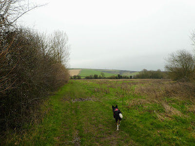
The track cut down a long grassy ridge down to the river valley, The mast on the other side showing where the continuation of the SD way would head.


On our side the long grassy ridge continued through a pig area (no longer grassy, but still gentle).

 The vast chalk quarry on the other side of the river opened out as we exited the pig enclosures, as well as the odour improved. The path converted into a farm track and then exited onto a road at Botolphs.
 Leaving the road we cut over a field to the Downs link path .. the old railway was a solid, flat track which we followed back towards the town of Steyning.
 We followed the downs link track to just below Bramber castle where it continued North and we cut across into Steyning village itself.


This section was dull in comparison to being on the hills as it worked through the houses and then the high street before coming out the other side.
We stopped at the first available bench for a break and some sustenance, but this was marred by the constant traffic.
Navigation was more of a struggle and I must remember to blow up the map for this kind of area, however we managed to escape unharmed back into the fields to head back to the van.

 We came out from beside an old mill, with the wheel chained up and falling to a rusty ruin, and we were in horse territory.


The path followed beside a track, however the fields were relatively dry and the mud was not to invasive.


 As the rain came on for real the ring disappeared into the clouds, and we hurried onwards towards Wiston house.

 By now it was really raining, as we got glimpses of the old manor house, and a bridge over the back drive... must have been for an old "walk" from the house, as the road petered out at some cottages.

 The final section up the track to the farm we had passed at the very start of the walk, which had some wonderful old buildings, but all in some real need of care and attention.
The fields opened out as we moved into the Wiston estate, and the ridge showed above. However the cloud had come over and there were drops of rain beginning to fall. We could measure this by how clear the ring was above us.


Then back to the van and to get out of the rain for some lunch


