There is a car park on the South Downs way at Buriton, but I missed the road
in the tight village, and we ended up at the Church car park and duck pond
where there were a number parties preparing to set out on their own
journeys.
It turned out this car park was next to the path we had
intended to take in the first place, so ideal.
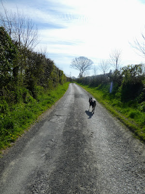
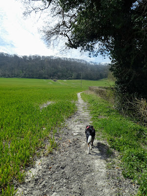
This lane turned into a track and then into a path alongside fields, still heading along the bottom of the ridge.
Eventually the path came out onto the road going up to Sunwood farm and the
Ditcham park school drive - we would see this on the return leg of the walk.
Picking another lane continuing in our direction which cut over to the
Chichester road
This may be a minor road, but the speed and volume of traffic, indicated
otherwise. Luckily there was a wide verge we could use to avoid walking on the
road edge.
At Torberry Farm we turned the corner and headed south to the ridge and the
woods.
The ridge ahead ... the climb would be right to left so not so steep.
The ridge ahead ... the climb would be right to left so not so steep.
The path rose through the woods covered in wild garlic, on a gentle slope, up to the ridge top.
Looking south - the actual south downs ways follows the hedge line across the middle of the picture
Suitably refreshed we continued down to the South Downs way.
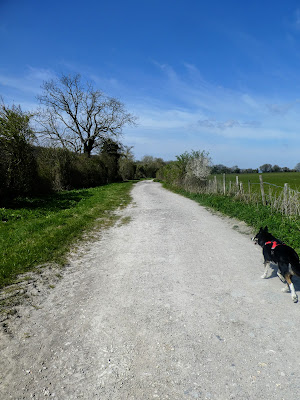
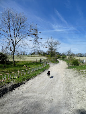
This part of the south downs way is a wide chalk track undulating and winding passed the fields on either side all belonging to the local estate.
At Sunwood farm we picked up the metalled road leading up to North lodge (and the school), before cutting down slightly in the woods.
Another undulation as we dropped down to a dip crossing the Milky way track again, before climbing again to the next knoll.
At somewhere near this point we crossed over the rail tunnel, on the next descent section, before ascending again after passing the cottages. then fairly level as we took a side path above the chalk Quarries upto the carpark that was out original target start point.
the foot[path cut down through some chalk quarries, with steep sides and the path meandered through descending back to the railway line.
There was a side trail into the quarries at the bottom, with notes on the history of lime making in the area.


