
The weather was overcast but predominantly dry
This time parking
up at the lake near the boat house, before walking back around the perimeter a
little way to pick up a well surfaced track into the woods.

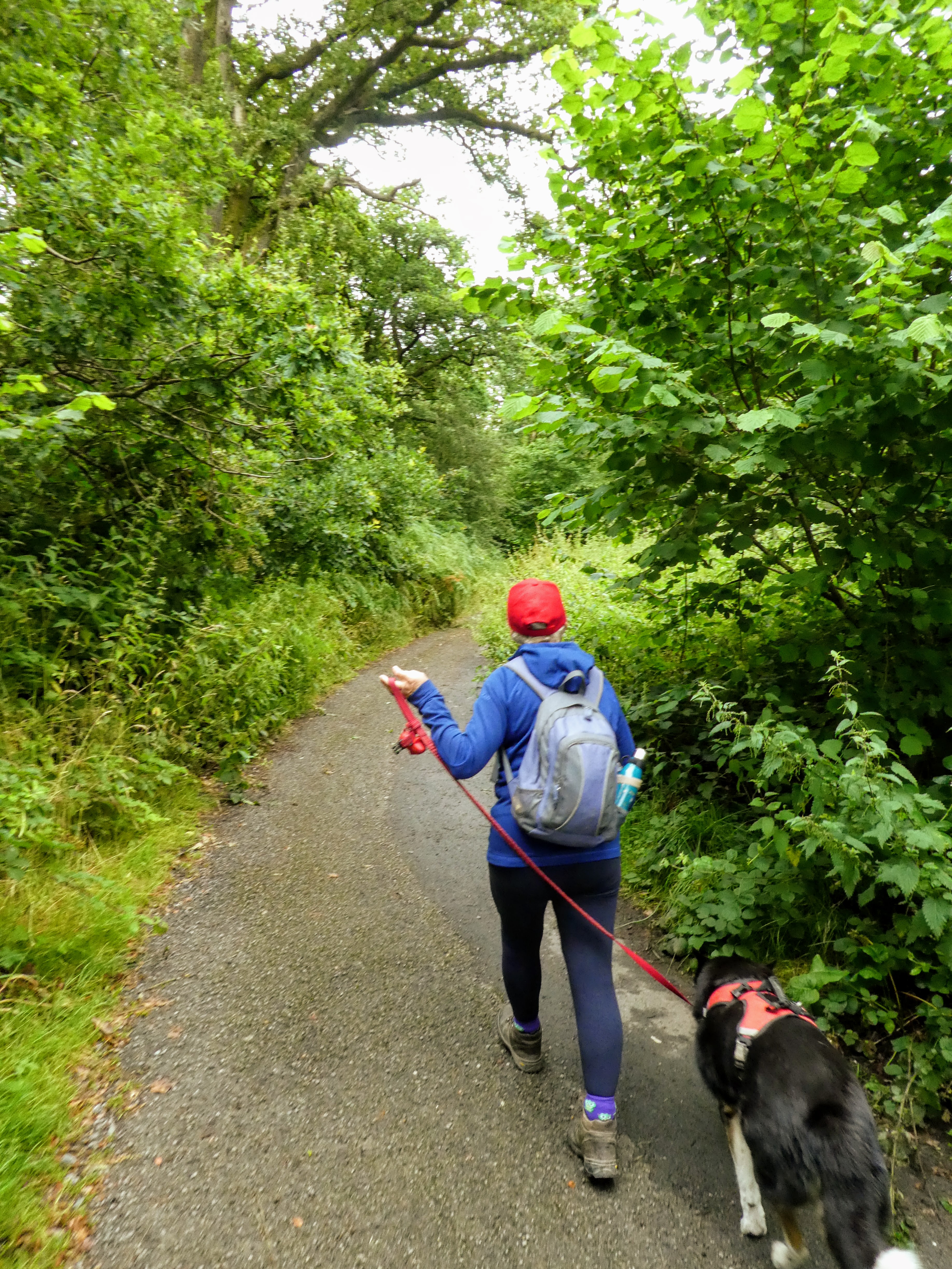
 The metaled surface soon gave way to a dirt track, however we were still in the
popular area as shown by the sculpture trail markers - although we only saw one
actual sculpture.
The metaled surface soon gave way to a dirt track, however we were still in the
popular area as shown by the sculpture trail markers - although we only saw one
actual sculpture.

 The next section left the trees behind, but the path was swathed in ferns which
threatened to engulf the trail.
The next section left the trees behind, but the path was swathed in ferns which
threatened to engulf the trail.

 Down the other side of the hill to pick up a lane which we followed down beside
a small wood, before taking a lane across the slope past a very rundown
house.
Down the other side of the hill to pick up a lane which we followed down beside
a small wood, before taking a lane across the slope past a very rundown
house.

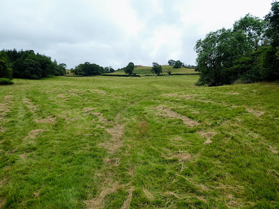
 This lane became a farm track between pastures sometimes with a grass surface,
sometimes a little more stony. as it headed across and down to meet the road to
shaky bridge.
This lane became a farm track between pastures sometimes with a grass surface,
sometimes a little more stony. as it headed across and down to meet the road to
shaky bridge.

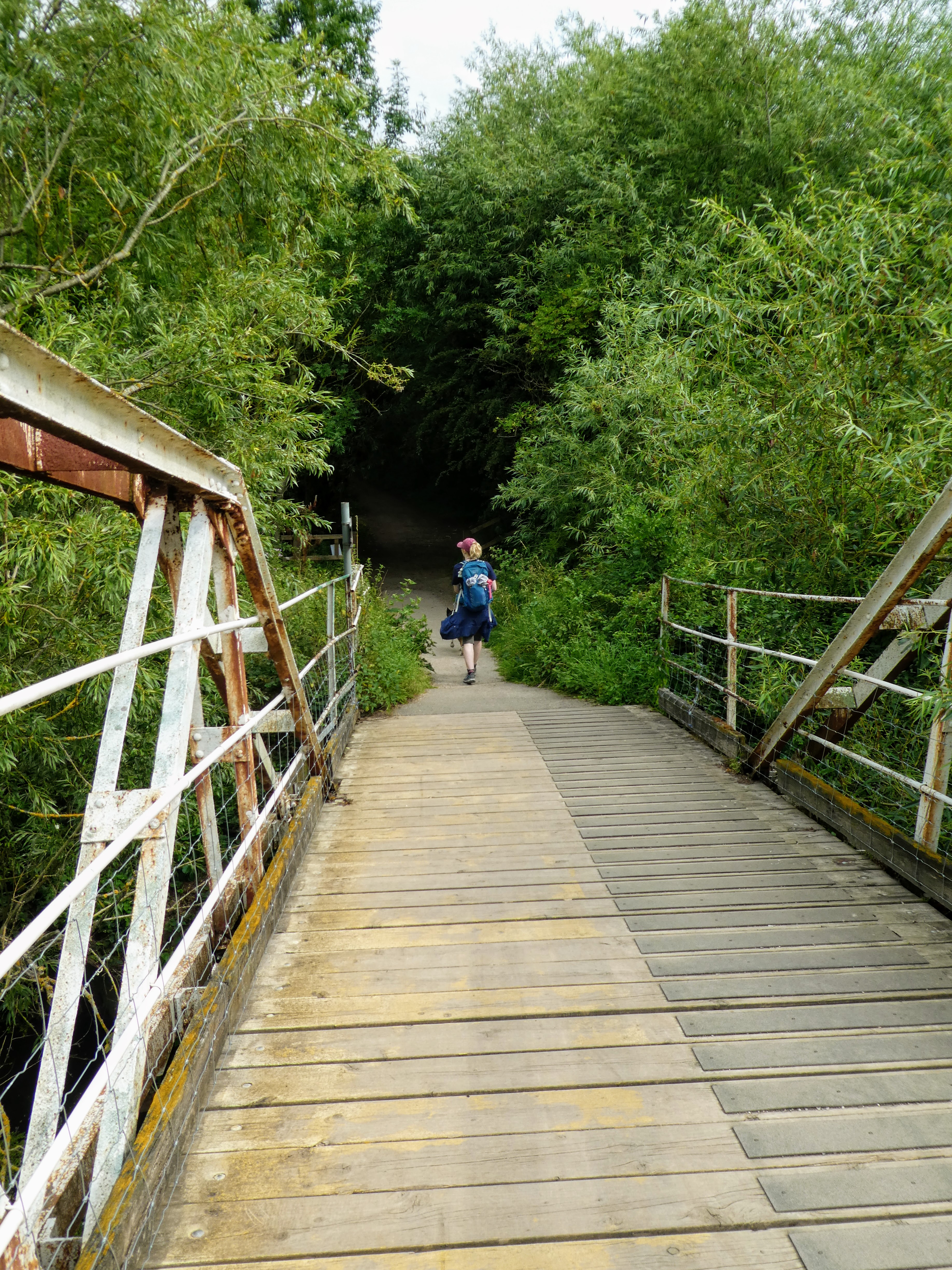
 The road dropped steeply down to the river and a carpark where a foot bridge
crossed over tot eh other side.
The road dropped steeply down to the river and a carpark where a foot bridge
crossed over tot eh other side.

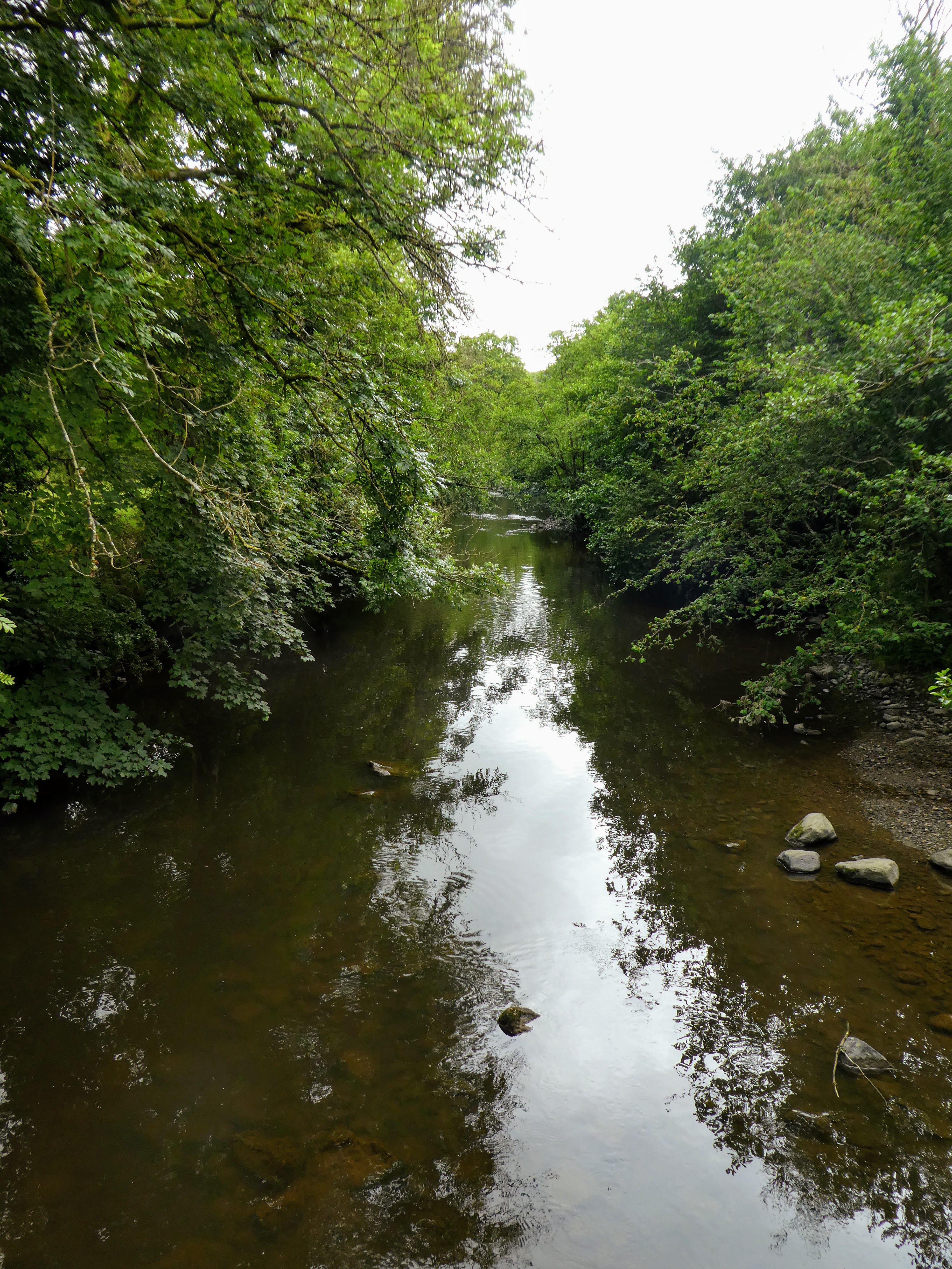
 the river Ithon quite calm below, but the evidence of strength in spate all
around. Bertie however was not worried as he dropped in for a paddle and cool off.
the river Ithon quite calm below, but the evidence of strength in spate all
around. Bertie however was not worried as he dropped in for a paddle and cool off.

 Across the other side and up a slight rise was the church of St Michael.
... hidden away in a circle of Yew trees. We arrived just as a shower came
over so nipped into the porch for a drink and snack.
Across the other side and up a slight rise was the church of St Michael.
... hidden away in a circle of Yew trees. We arrived just as a shower came
over so nipped into the porch for a drink and snack.

 Overlooking the church is
Castle Bank
... an historical site of a castle from the marcher lords era., but no not
much remains apart from an ideal site and some vague ruins.
Overlooking the church is
Castle Bank
... an historical site of a castle from the marcher lords era., but no not
much remains apart from an ideal site and some vague ruins.
 We planned to return by a slightly circular route after first crossing the
footbridge.
We planned to return by a slightly circular route after first crossing the
footbridge.


After a section traversing the side of a slope we turned up back into the
woods.

 The ferns came even closer to the path on this section, as well as way over
our heads.
The ferns came even closer to the path on this section, as well as way over
our heads.


An ascent through the last of the woods brought us out into the open pasture
above, and first sight of todays high point.

 Looking back down to Llandod in the valley below and up towards the trig point
on the skyline.
Looking back down to Llandod in the valley below and up towards the trig point
on the skyline.


The view back towards Newbridge and around to Llandod.


On the other side the path went across the curve in the road by ascending
directly across a field. then following the road for a while contouring around
the hillside.

 The road continued past a large farm, but with the high hedges there was not a
lot to see until we cut off up the driveway to Pantpurlais which wound around
some bumps in the hillside
The road continued past a large farm, but with the high hedges there was not a
lot to see until we cut off up the driveway to Pantpurlais which wound around
some bumps in the hillside

 Before opening up to the pasture on the top, with views across to the trig
point we had been at earlier in the day,.
Before opening up to the pasture on the top, with views across to the trig
point we had been at earlier in the day,.

 A strange avenue through an oldish pine wood before the path opened out into
rough heathland again, with the deciduous woods above the town below.
A strange avenue through an oldish pine wood before the path opened out into
rough heathland again, with the deciduous woods above the town below.

 In these woods we followed a steep river gulley which came out near the
residential outskirts of Llandod.
In these woods we followed a steep river gulley which came out near the
residential outskirts of Llandod.

 Cutting through the estate and then back into t he woods and heathland just above the residential areas. Passing close to the outward bound trail we had followed before curving around the other side of the hill to the county hall

 The pond outside the county hall was just the right size and depth for a Bertie paddle, before we cut through the carpark and back to the lake and the van.


Continuing along the track as it started to descend on the other side. We
left the track follow a more direct path heading to a pine wood.


