

The route started at the playing fields just next to the dump, leaving the van
and picking up a path behind the fishing lake across to the canal then
following it to the end.


After some grassy lanes we surprisingly popped out at a lake, and a boat
house

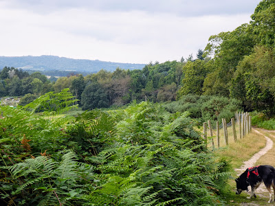
 Followign hte side of the lake and around the end we were back into fields
beside the river Arun. a short climb through some woods and we were in a
recently harvested corn field, that led down to the canal.
Followign hte side of the lake and around the end we were back into fields
beside the river Arun. a short climb through some woods and we were in a
recently harvested corn field, that led down to the canal.

 A short diversion, the wrong way, to Lording's lock where a work party were
just coming to have a look at the the water wheel, and we were ready to start
the journey south down the canal.
A short diversion, the wrong way, to Lording's lock where a work party were
just coming to have a look at the the water wheel, and we were ready to start
the journey south down the canal.


Starting off down a farm track before crossing the dried up canal on a hump
back bridge before entering grass fields.

 A green lane down the side of the field leads to an old iron works cottage,
and continues beside it parallel but away from the canal
A green lane down the side of the field leads to an old iron works cottage,
and continues beside it parallel but away from the canal

 With the canal and river turning away below, we continued on a large loop away
around private land.
With the canal and river turning away below, we continued on a large loop away
around private land.


After climbing up a curved pasture field, the track entered an elongated
wooded copse between fields which was followed to the back road from
Wisborough Green

 Now, along the road (taking notice of the sign on the barn about owls),
climbing slightly.
Now, along the road (taking notice of the sign on the barn about owls),
climbing slightly.

 At the top of the slope, we turned down what looked like a private drive,
without much signage, eventually opening out as it dropped to the river. On
the opposite slope the Toat monument could be seen standing proud of the
skyline
At the top of the slope, we turned down what looked like a private drive,
without much signage, eventually opening out as it dropped to the river. On
the opposite slope the Toat monument could be seen standing proud of the
skyline

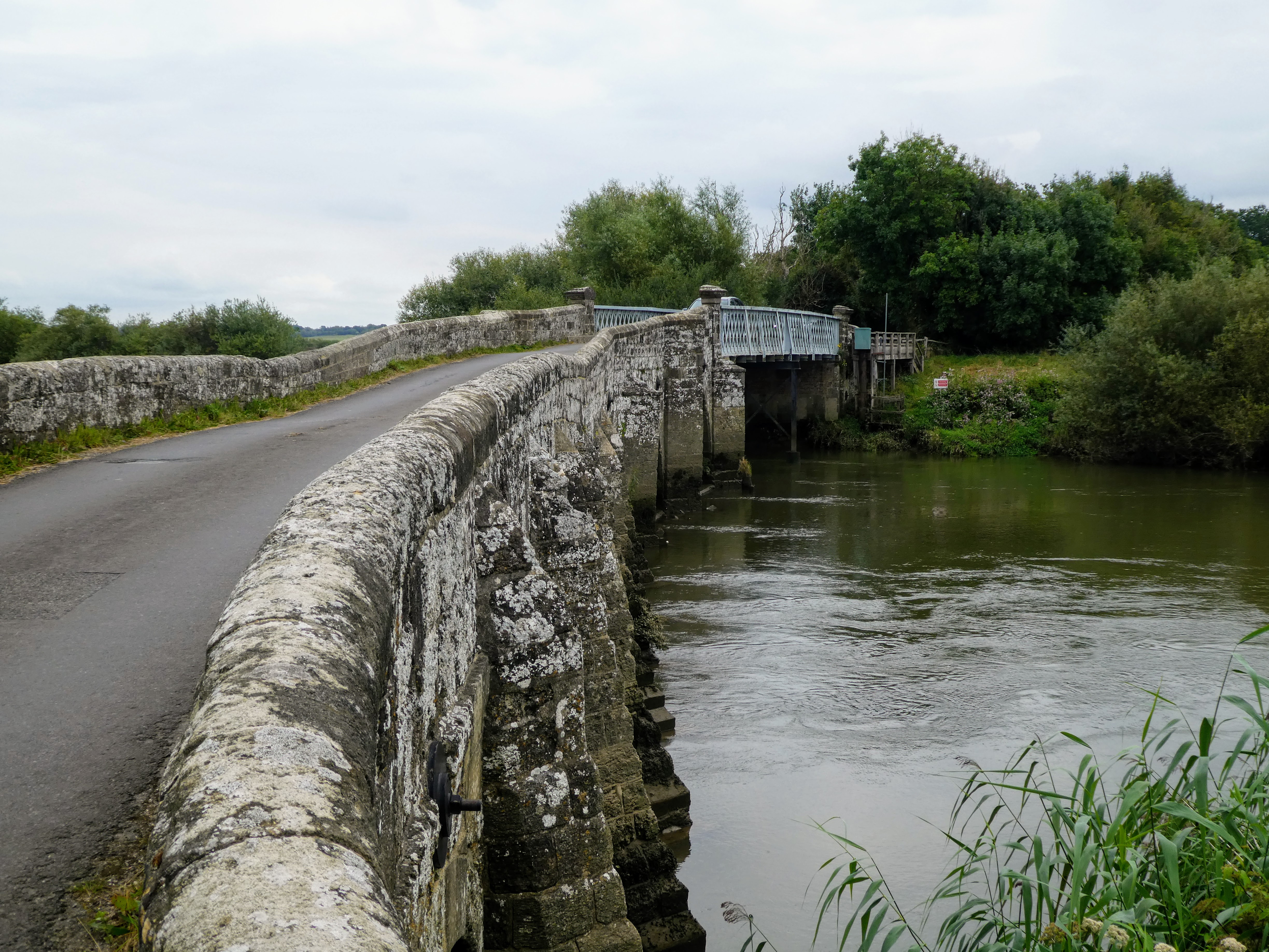
 Crossing the river on two bridges, before crossing the canal at Pallingham
bridge - one more Bertie took the opportunity to cool off in the puddle
underneath.
Crossing the river on two bridges, before crossing the canal at Pallingham
bridge - one more Bertie took the opportunity to cool off in the puddle
underneath.


This is the end of the canal as a distinct entity, as it would originally have
joined the Arun river just beyond here, but badly overgrown, and hardly
visible

 The route follows several farm tracks from the bridge as it headed south away
from, however roughly parallel to, the river
The route follows several farm tracks from the bridge as it headed south away
from, however roughly parallel to, the river

 Coming out on the minor road that cut up the hill to Coombelands racing
stables and gallops - behind the hedge. Fortunately there was a footpath down
the side of the training area, which offered some respite from the road
Coming out on the minor road that cut up the hill to Coombelands racing
stables and gallops - behind the hedge. Fortunately there was a footpath down
the side of the training area, which offered some respite from the road


 Back on the road again after the gallops, before turning up the drive to Park
Farm... to the East were views of Pulborough church across the
fields.
Back on the road again after the gallops, before turning up the drive to Park
Farm... to the East were views of Pulborough church across the
fields.

 We however cut west and up the side of Park mound and down the side of the
woods as we dropped down to the river once more
We however cut west and up the side of Park mound and down the side of the
woods as we dropped down to the river once more


 Eventually dropping down to the A283 at the White Hart pub and the old bridge.


The views to the South Downs opened out from the gallops as we could see
from Chanctonbury ring at the Eastern side across to the gap at Amberley.


views again of the South Downs and the sight of what was yet to come.


We paused here for a bite to eat and drink on the side of the river

 there was a small parking area where the old road joined the A283, opposite
the garden centre, which I noted for potential use in the future.
there was a small parking area where the old road joined the A283, opposite
the garden centre, which I noted for potential use in the future.


then across into the riverside wetlands, and rustling grasses

 over a narrow footbridge, and into pasture fields on the other side. This was
the start f a cut across the bends in the river and picking up the route where
the original canal had an extension to cut the loop and included a
tunnel
over a narrow footbridge, and into pasture fields on the other side. This was
the start f a cut across the bends in the river and picking up the route where
the original canal had an extension to cut the loop and included a
tunnel

 The Northern entrance to the tunnel was now removed under a pumping station
and NFU office. The path wound through this estate, and down a short section
of disused railway - this is the same one that goes along the bottom of the
South downs and ends up in Petersfield (including the B&B in carriages at
Coultershaw we had previously stayed at).
The Northern entrance to the tunnel was now removed under a pumping station
and NFU office. The path wound through this estate, and down a short section
of disused railway - this is the same one that goes along the bottom of the
South downs and ends up in Petersfield (including the B&B in carriages at
Coultershaw we had previously stayed at).


Across a field to a bridge over the modern mainline - the one we would return
on)
 The bridge then across the busy A29 and down to the southern entrance to the
tunnel - now very overgrown.
The bridge then across the busy A29 and down to the southern entrance to the
tunnel - now very overgrown.


From here we followed a path that would be the tow path to the extension of
the canal hidden under the overgrown woodland.

 A zigzag over the river at Greatham Bridge and the start of the final section
across Amberley Wild brooks.
A zigzag over the river at Greatham Bridge and the start of the final section
across Amberley Wild brooks.

 A short section beside the river, before following farm tracks past numerous
farm buildings
A short section beside the river, before following farm tracks past numerous
farm buildings

 the South downs beyond the flat wet lands appeared as we came out of the
wooded area, and across into the brooks.
the South downs beyond the flat wet lands appeared as we came out of the
wooded area, and across into the brooks.

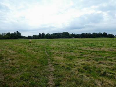
 From here it was flat and almost straight south to Amberley through the
brooks
From here it was flat and almost straight south to Amberley through the
brooks

 The first sight of the village and he castle ... from this side you do
need to know where it is to know where it is and it is not a normal wall/
house.
The first sight of the village and he castle ... from this side you do
need to know where it is to know where it is and it is not a normal wall/
house.

 Up into the village, and then to complete the route, we dragged ourselves up
the hill to meet the South Downs Way on High Titten. If I ever did this again
I would follow the B2139 road around the bottom, without the climb.
Up into the village, and then to complete the route, we dragged ourselves up
the hill to meet the South Downs Way on High Titten. If I ever did this again
I would follow the B2139 road around the bottom, without the climb.

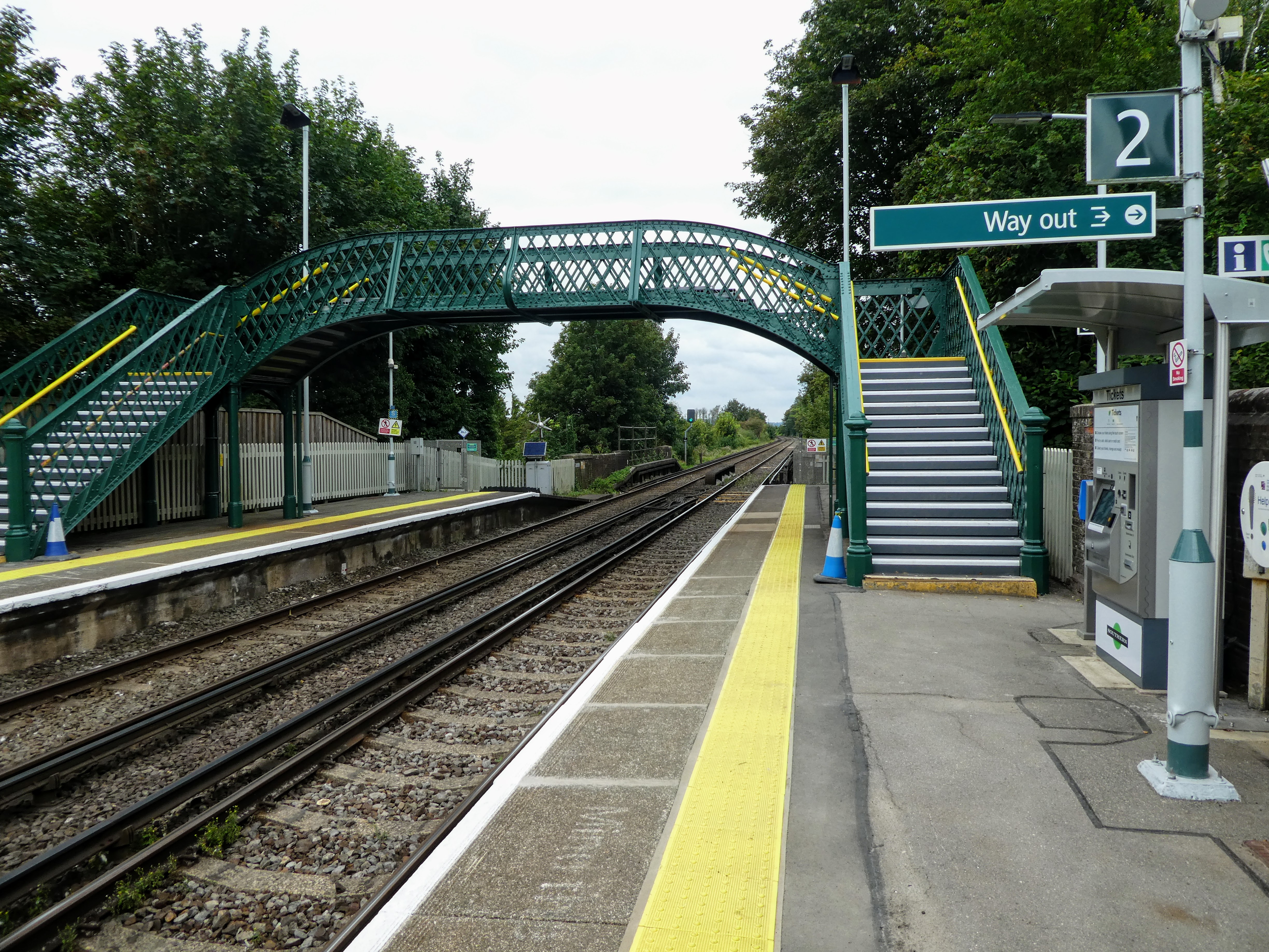
 The last section to the station past the museum, just in time to see the train
leave ... we had missed it by 5 minutes - it would be another hour until the
next one.
The last section to the station past the museum, just in time to see the train
leave ... we had missed it by 5 minutes - it would be another hour until the
next one.

 That was it ... the final section of the Wey South path ... now just the
train back to Billi - Bertie's first time on one - a little nervous at first,
but soon settled down. Luckily there were not many people on the train and we
had a whole half section to ourselves.
That was it ... the final section of the Wey South path ... now just the
train back to Billi - Bertie's first time on one - a little nervous at first,
but soon settled down. Luckily there were not many people on the train and we
had a whole half section to ourselves.

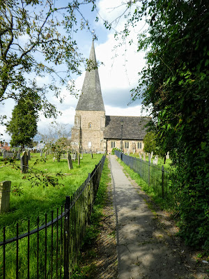 At Billingshurst we left the station and headed up the road past the school,
before cutting across to the church
At Billingshurst we left the station and headed up the road past the school,
before cutting across to the church

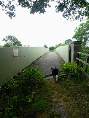
 Across the main road and then weaving past the library and continuing almost
to the bypass, before discovering a path on top of the cutting bank leading
around to the footbridge.
Across the main road and then weaving past the library and continuing almost
to the bypass, before discovering a path on top of the cutting bank leading
around to the footbridge.

 Back in the car park and over to the van ... a long but satisfying day -
some contrived bits and especially the ones on straight roads or tracks with
limited views beyond hedges. I am not sure I will do the Brooks bit again, but
the Pulborough to Billi bit has opportunities.
Back in the car park and over to the van ... a long but satisfying day -
some contrived bits and especially the ones on straight roads or tracks with
limited views beyond hedges. I am not sure I will do the Brooks bit again, but
the Pulborough to Billi bit has opportunities.


Time for a long sit down and the remains of lunch and coffee.


