


Picking a path directly up the hill (again many paths and few on the map) we
reached the main track that followed the broad ridge

 Following the ridge along to "the temple" - a covered seating area with views
north and south, whereas so far it had all been in the trees
Following the ridge along to "the temple" - a covered seating area with views
north and south, whereas so far it had all been in the trees

 North to Ranmore common and maybe around to Box hill South to Holmwood
and Leith Hill
North to Ranmore common and maybe around to Box hill South to Holmwood
and Leith Hill

 My original route followed a path through what turns out to be the land
belonging to old bury hill house, so we had to divert around the steel mesh
fence and bleak warning signs back down to the house driveway before
continuign West.
My original route followed a path through what turns out to be the land
belonging to old bury hill house, so we had to divert around the steel mesh
fence and bleak warning signs back down to the house driveway before
continuign West.

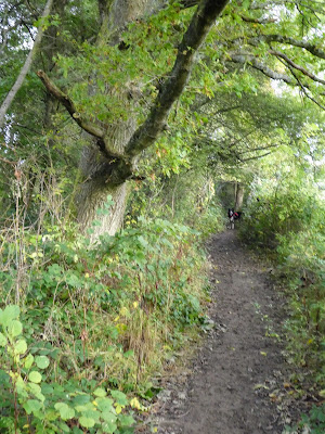
 The outskirts of Westcott seem to be bounded by the path as it climbed up
behind the village, and down the other side, before continuing up to Westcott
Heath where it finally opened up again.
The outskirts of Westcott seem to be bounded by the path as it climbed up
behind the village, and down the other side, before continuing up to Westcott
Heath where it finally opened up again.

 From the heath the [path cut down rather steeply to meet where a privet road -
Rookery Drive - met the main road. There is a slight clue on the sign but it
took some looking to find it.
From the heath the [path cut down rather steeply to meet where a privet road -
Rookery Drive - met the main road. There is a slight clue on the sign but it
took some looking to find it.

 The drive curved around the end of a lake - we never actually saw the lake as
it was always obscured - between two quaint cottages
The drive curved around the end of a lake - we never actually saw the lake as
it was always obscured - between two quaint cottages

 The track turned into a bridleway as we climbed up beside the lake and
following the Greensand way we cut up even steeper to meet the old trackway of
Wolvens lane.
The track turned into a bridleway as we climbed up beside the lake and
following the Greensand way we cut up even steeper to meet the old trackway of
Wolvens lane.

 Passing Wolvens lane for now - though we would meet up again further south for
the start of the return journey, we picked up the Greensand way as it followed
the Tilling Bourne - A stream we had seen a lot of recently in other areas.
Passing Wolvens lane for now - though we would meet up again further south for
the start of the return journey, we picked up the Greensand way as it followed
the Tilling Bourne - A stream we had seen a lot of recently in other areas.

 The bridleway climbed gently up the valley, even contouring around the pond at
stable copse
The bridleway climbed gently up the valley, even contouring around the pond at
stable copse

 The path now became paved as we passed a house in the woods, also persuading a
truck that there was no way out and he and his trailed had to back up and turn
around if he wanted to get onto a proper road.
The path now became paved as we passed a house in the woods, also persuading a
truck that there was no way out and he and his trailed had to back up and turn
around if he wanted to get onto a proper road.


beside us the stream had a series of ponds and weirs, tantalisingly too far
away for Bertie to go for a paddle.

 I had seen the notice on the map for a waterfall, however I was not prepared
for how it turned out .. it was no on the Tilling Bourne, but on the side of
the road. You could not get close as it was in private land, but vistas had
been cleared so it could be seen.
I had seen the notice on the map for a waterfall, however I was not prepared
for how it turned out .. it was no on the Tilling Bourne, but on the side of
the road. You could not get close as it was in private land, but vistas had
been cleared so it could be seen.

 We reached Whiteberry road and immediately I recognised the NT sign, although
we soon turned off this down to the stream and upto Simons copse
We reached Whiteberry road and immediately I recognised the NT sign, although
we soon turned off this down to the stream and upto Simons copse

 Climbing up to Wolvens Lane. We could have continued across and down to
Squires farm where we would pick this bridleway once more, however turning
north up the lane staying relatively level.
Climbing up to Wolvens Lane. We could have continued across and down to
Squires farm where we would pick this bridleway once more, however turning
north up the lane staying relatively level.

 Passing the trig point (now turned into a memorial to someone) we then turned
off and down a track to Logmore Green. This was hidden in the undergrowth
before opening out between the trees.
Passing the trig point (now turned into a memorial to someone) we then turned
off and down a track to Logmore Green. This was hidden in the undergrowth
before opening out between the trees.

 The footpath joined a bridleway that had been washed down to the hard core
below by the recent rain. opening out to the road at Logmore Green, bored
turning off onto a track at right angles, that led into some trees and the
first mud puddles which would become a bigger problem later.
The footpath joined a bridleway that had been washed down to the hard core
below by the recent rain. opening out to the road at Logmore Green, bored
turning off onto a track at right angles, that led into some trees and the
first mud puddles which would become a bigger problem later.

 Opening out into some fields, and a complex navigation around Squire's farm.
we could have taken the footpath on the other side of the woods, but had
worried about the mud
Opening out into some fields, and a complex navigation around Squire's farm.
we could have taken the footpath on the other side of the woods, but had
worried about the mud

 Picking up the bridleway we had been on earlier, we rounded Squire's farm and
set off down it's concrete drive way
Picking up the bridleway we had been on earlier, we rounded Squire's farm and
set off down it's concrete drive way
 We crossed Logmore lane and through a field before we met the mud. This
section had been churned up and following it was convoluted, especially as
some shooting started up away to the west and Bertie was in a hurry to get on
with things.
We crossed Logmore lane and through a field before we met the mud. This
section had been churned up and following it was convoluted, especially as
some shooting started up away to the west and Bertie was in a hurry to get on
with things.


Eventually things eased up as the path opened into a grassy field where the
path had spread out and we could wipe off the mud

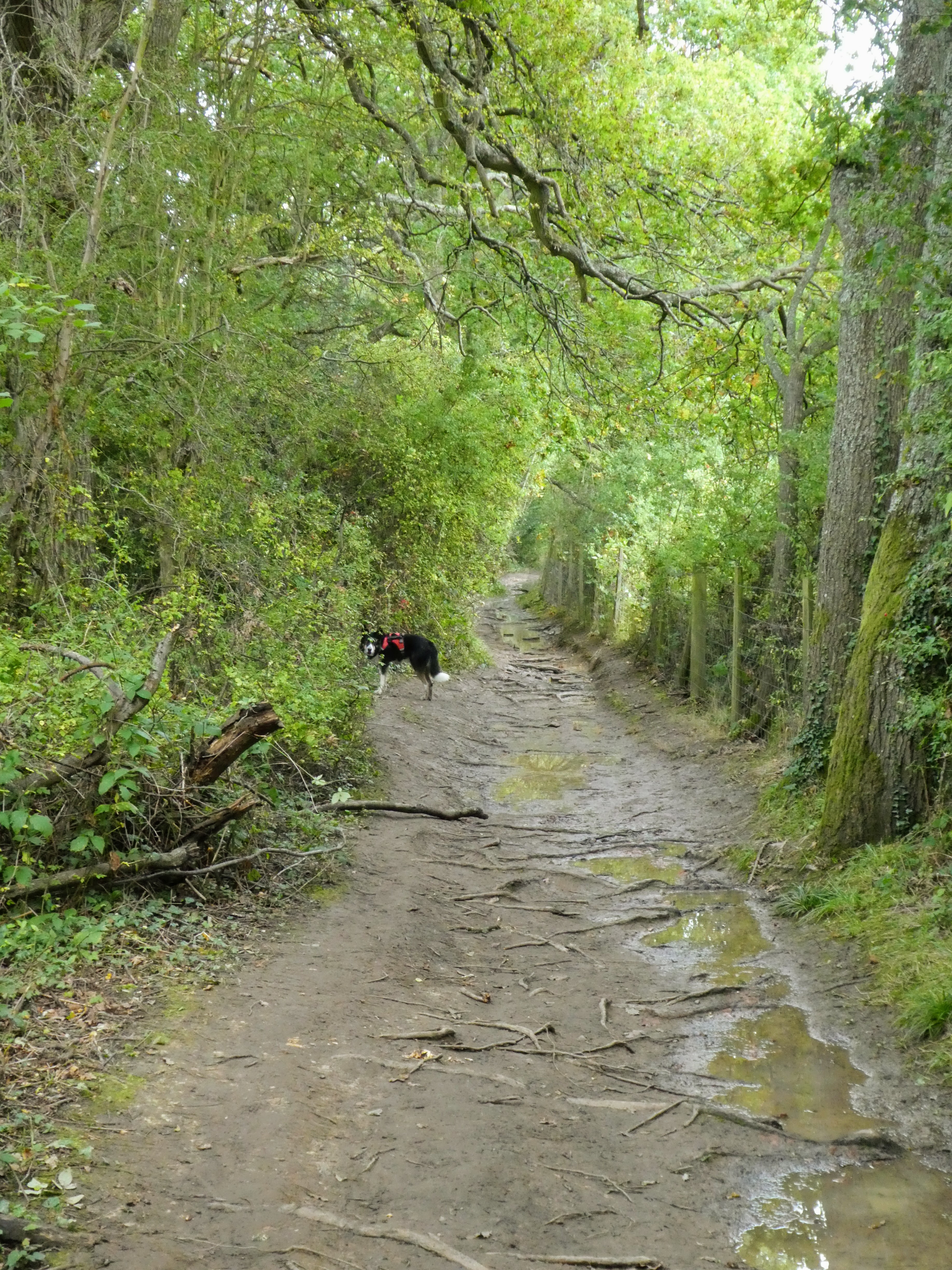
 As we neared the fishing lakes below Bury Hill the path returned to the muddy
state, however this time there were plenty of roots to balance on and remain
dry.
As we neared the fishing lakes below Bury Hill the path returned to the muddy
state, however this time there were plenty of roots to balance on and remain
dry.

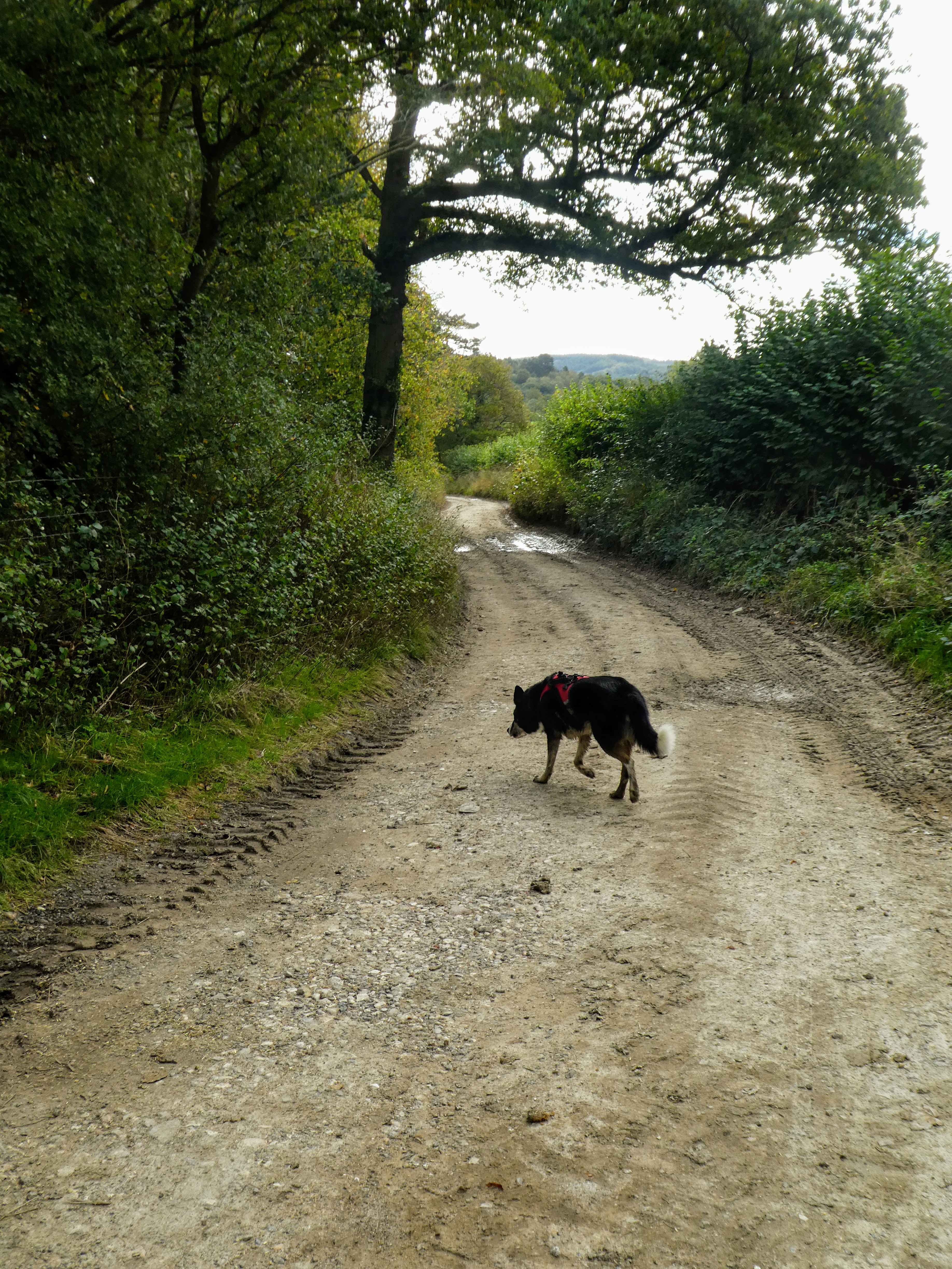
Past the lakes, and fishermen

 Following the road out to the A25 passing where we had crossed earlier. We
could have turned back to the car park here, but I had added a loop up under
the North downs to take the mileage up over 16kms for the day.
Following the road out to the A25 passing where we had crossed earlier. We
could have turned back to the car park here, but I had added a loop up under
the North downs to take the mileage up over 16kms for the day.

Crossing over the river and the view up to Ranmore common opened out in front
of us - another days walk


Afterwards we would continue on to Uckfield, so just a short rest.

