The weather had turned away from the rain bands of the last few weeks, now it was cloudy with occasional sunny periods and a fierce wind. We took the opportunity to combine our weekly walk with the visit to Uckfield, this gave us a chance to save on the journeys as some of the remaining pieces of the SDW jigsaw were beyond Lewis and hence on one of the ways to Uckfield. The next piece East was to continue on the ridge south of Lewis to South Ease and the crossing of the river Ouse.


Reaching a division of tracks at a dilapidated barn and outbuildings, with
superb outlook

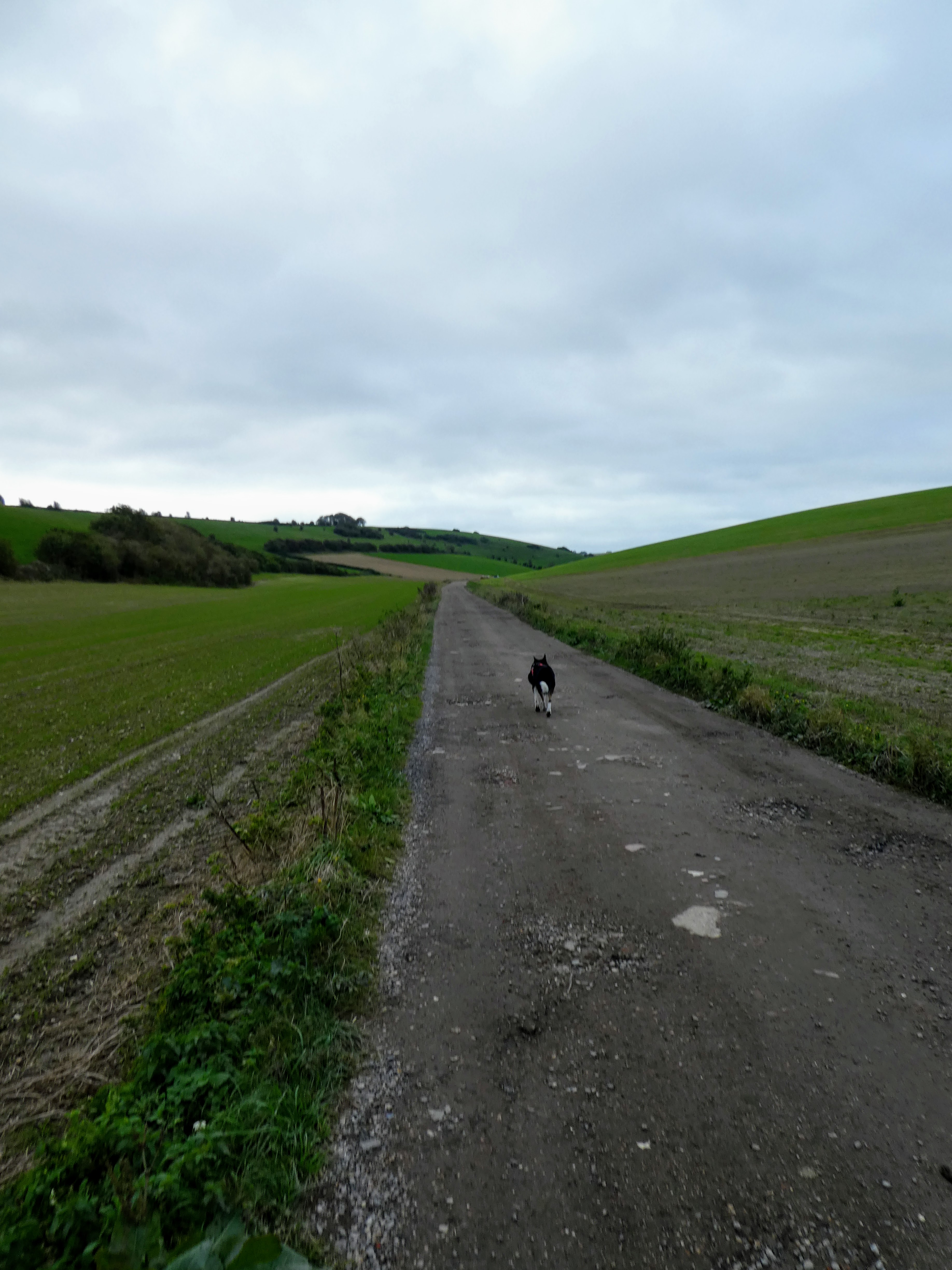
 We continued heading north along the valley bottom through sheep pasture, in a
twisting trail winding around the contours, before converting to a chalk stone
road cutting up to the ridge, steeper than before.
We continued heading north along the valley bottom through sheep pasture, in a
twisting trail winding around the contours, before converting to a chalk stone
road cutting up to the ridge, steeper than before.

 Looking back down the valley showing all the twists, and over the ridge north,
as we rendezvoused with the SDW once more.
Looking back down the valley showing all the twists, and over the ridge north,
as we rendezvoused with the SDW once more.

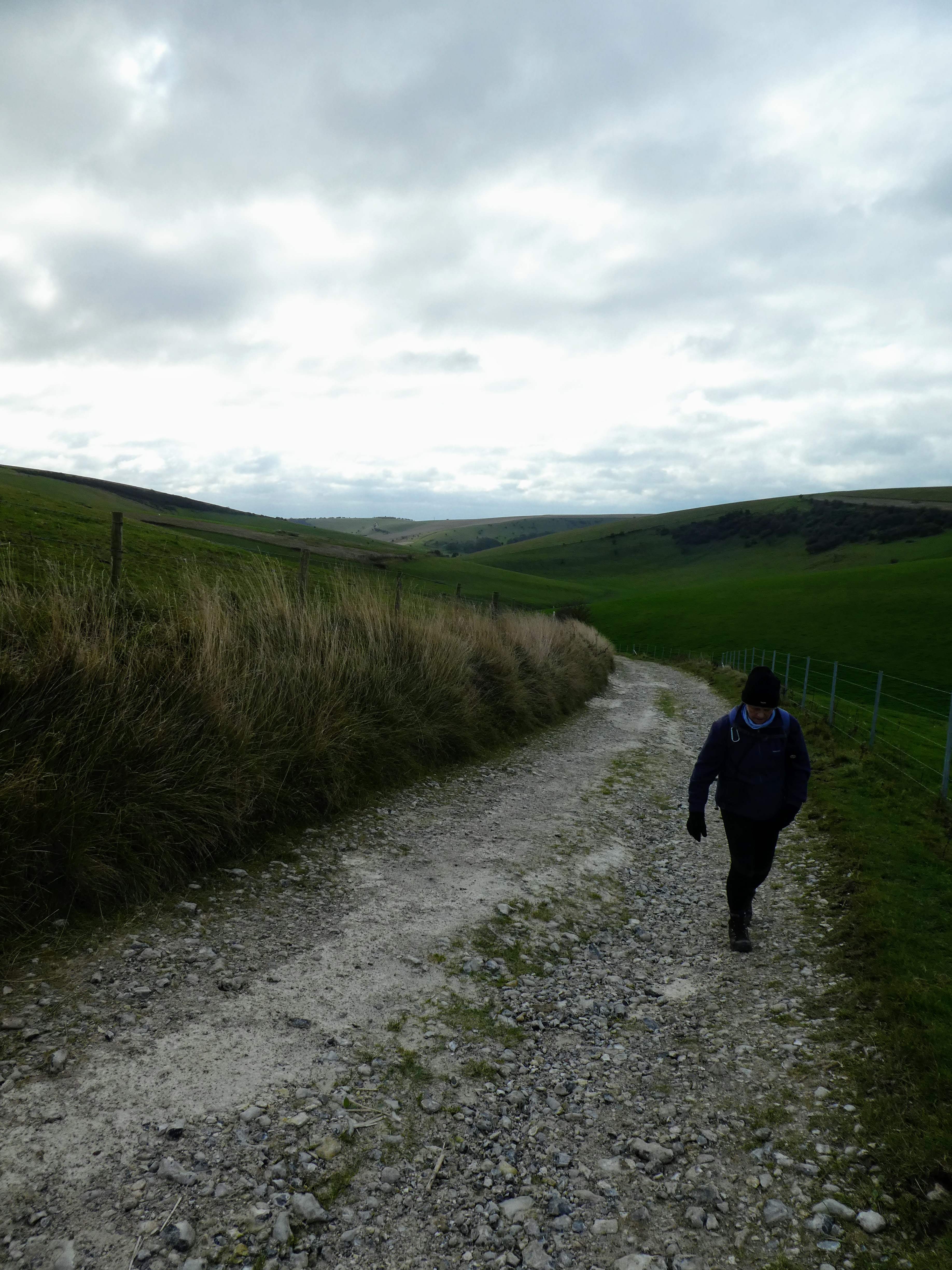
 A gentle climb around Swanborough Hill to reach the high point for today, with
a view back down the track we had climbed from Kingston near Lewis on the last
section.
A gentle climb around Swanborough Hill to reach the high point for today, with
a view back down the track we had climbed from Kingston near Lewis on the last
section.

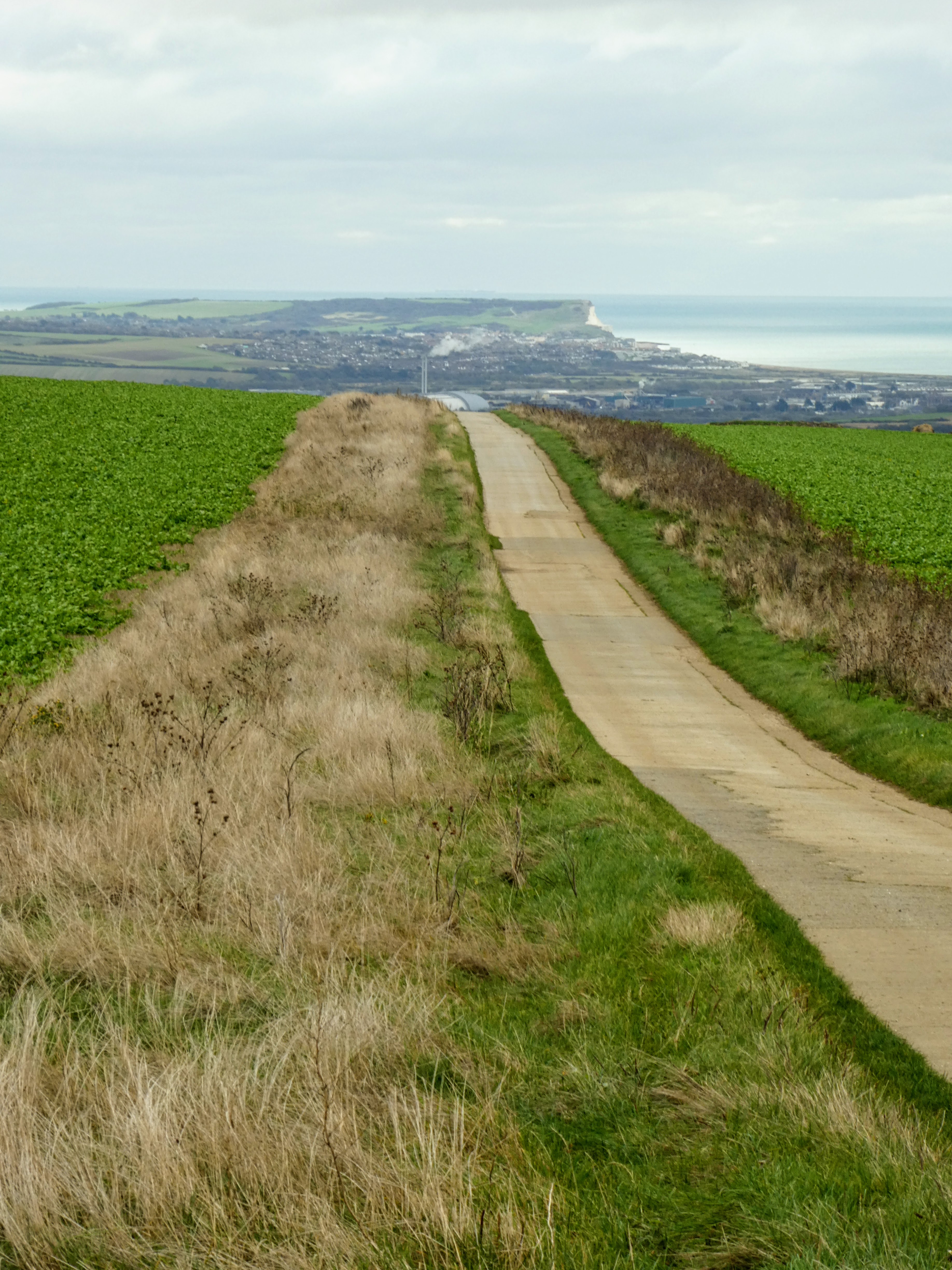
 The SDW follows the ridge east, gently descending. After meeting the path
coming across directly from the monument, it followed a concrete road, with
views down tot eh coast and also the cliffs of the Severn Sisters (another
section of the SDW)
The SDW follows the ridge east, gently descending. After meeting the path
coming across directly from the monument, it followed a concrete road, with
views down tot eh coast and also the cliffs of the Severn Sisters (another
section of the SDW)

 I was not sure if this was the same kestrel we had seen last time, hovering,
searching for prey.
I was not sure if this was the same kestrel we had seen last time, hovering,
searching for prey.


out at sea a large bulk carrier sailed past, laden with containers.

 Our concrete road ended when we met White way, however teh SDW continued on
the rounded ridge line through pasture and crop fields. As we started the
final climb up to Mill Hill we passed a sign on the edge of the field with no
obvious cause - turns out this was the meridian line from Greenwich separating
the hemispheres
Our concrete road ended when we met White way, however teh SDW continued on
the rounded ridge line through pasture and crop fields. As we started the
final climb up to Mill Hill we passed a sign on the edge of the field with no
obvious cause - turns out this was the meridian line from Greenwich separating
the hemispheres

 Up Mill hill, and past the expensive houses nestling on the top cloistered
away from Prying eyes like the ones I passed on the Greensand way, we came to
a crossroads of paths where an enterprising person had added a sign "to the
Pub". We followed it as it went the way we were to follow to get back to the
van.
Up Mill hill, and past the expensive houses nestling on the top cloistered
away from Prying eyes like the ones I passed on the Greensand way, we came to
a crossroads of paths where an enterprising person had added a sign "to the
Pub". We followed it as it went the way we were to follow to get back to the
van.

 The lane came down into the village and followed directly to a cross roads at the pub, where we crossed over the main road and continued down to the car park through the other half of the village, passing where we had cut off on our outward journey.


Time for the rest of lunch and shelter from the wind before continuing on to Uckfield.

