We were driving up to Nottingham, and taking the usual route away from the
M25, so an opportunity to tick off another section of the SDW. Selecting the
Exton section as it involved parking at a layby that would be les popular on a
school day, in preference to the West Meon/ Winchester hill section, also
because it was slightly shorter.
In the village we followed the road around past the 11th Century church.
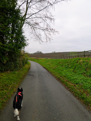
Leaving the village, still on the road - this is the cycle route for SDW - separated from the foot route as we will find out on our way back.
Leaving the village, still on the road - this is the cycle route for SDW - separated from the foot route as we will find out on our way back.
Leaving the road onto a tarmacked driveway past Allen's farm and its vines
The Driveway was for a large house not the farm.
Passing the large ornate gates of the "big" house - Exton Park, the driveway merged into a track that followed a valley bottom heading West.
As the track climbed up to Beacon Hill lane, we had to negotiate a fallen
tree, as well as the steep slope.
The other side of the road we continued into crop fields - turnips or brassicas.
The other side of the road we continued into crop fields - turnips or brassicas.
The path then snaked into a wooded area - complete with a multitude of signs
trying to limit people to the path (and keeping dogs on leads) presumably to
protect the pheasants/ grouse for the commercial visitors)
The track straightened up, once in the highly managed woods, before crossing a road into a grass field, that dropped down to a bridle path of Wayfarers walk
Turning onto the bridle path and heading north through a slight enclosed valley, that terminated into an elaborate garden where the path deviated around the fence, before continuing on the original direction.
The track now followed a series of chess moves around fields, following the
general direction of the slight valleyThe track straightened up, once in the highly managed woods, before crossing a road into a grass field, that dropped down to a bridle path of Wayfarers walk
Turning onto the bridle path and heading north through a slight enclosed valley, that terminated into an elaborate garden where the path deviated around the fence, before continuing on the original direction.
Eventually the track crossed a large grass field, and down a lane terminating at Lomer farm where we met the SDW.
These last two farms were obviously very financially viable as there was a lot
of ground maintenance happening with everything very clean and tidy.
Two sides of the triangle now completed we set off along the track of SDW towards Beacon Hill and the way back to the van.
Two sides of the triangle now completed we set off along the track of SDW towards Beacon Hill and the way back to the van.
Stopping at a convenient tree stump for refreshment
A very overgrown and almost dry Lomer pond, I was not sure if this was natural or man made to feed the medieval village of Lomer - a field with lots of undulations in it.
A very overgrown and almost dry Lomer pond, I was not sure if this was natural or man made to feed the medieval village of Lomer - a field with lots of undulations in it.
The track continued until it merged with a road on the ridge.
Followign beside the road for a short while before the road turned away at a rough car park and the entrance to the beacon hill open access area. - Which was really a continuation of the track in the same direction
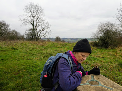
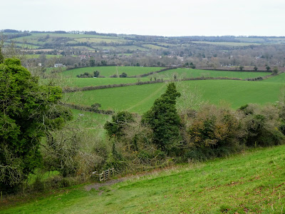
The top of the hill where it all opened out to the south, including views to the Isle of Wight and also Fawley refinery.
Continuing along the ridge and passing a replica beacon - placed below the top and only partially visible to the neighbouring tops.
A steep traversing drop through grass fields, careful not to slip on the chalk path
Once down in the pasture fields we continued back to the village through a series of stiles and gates, before picking up the road once more in the village.
Returning along the same route as for the start we were soon back at the van for second picnic and preparing for a long drive to Nottingham.


