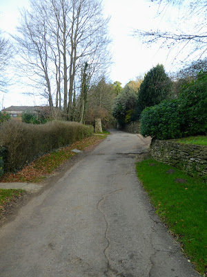
There was a section of the Greensand way that was incomplete on the Western end, between Hascombe and up to the ridge at Winterfold. It was about a day and a bit, so had been waiting for the right day.
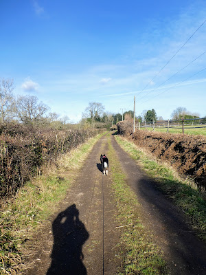
The mud had been drying for a couple of weeks and wind of the weekend had settled down, although it was supposed to be cloudy, it would be warm for the season. This logic found Bertie and I turn up to the old Vicarage car park near Hascombe to set off and see how far we could get, with a couple of options to short cut the circuit and return early.


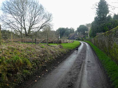


Keeping in the same direction and down to and across the Downs link trail on
the old railway.

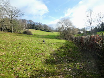
 To one side is the old canal .. this will link up to the bit at Rust
Common (where we will come back later). The other side it has been ploughed
up. then across the river
To one side is the old canal .. this will link up to the bit at Rust
Common (where we will come back later). The other side it has been ploughed
up. then across the river

 Up the other side and through the fields leading up to Plonk's Hill area of
Shamley Green.
Up the other side and through the fields leading up to Plonk's Hill area of
Shamley Green.

 Across the road before heading up past the church and graveyard. Then more
pasture fields - this time a fully fenced path
Across the road before heading up past the church and graveyard. Then more
pasture fields - this time a fully fenced path

 Onto private drives and tracks as we cut across to Franklin's farm. There was
a lot of construction going on here with another modern monstrosity, behind
the more traditional farmhouse.
Onto private drives and tracks as we cut across to Franklin's farm. There was
a lot of construction going on here with another modern monstrosity, behind
the more traditional farmhouse.

 The following section was the worst mud of the day as climbed up to
Willinghurst farm through woodland, at one point is was the complete width of
the track, however it was not too deep luckily. Escaping the woods into open
fields eased the situation, except we nearly missed the GSW as it cut up the
slope rather than follow the more heavily marked path
The following section was the worst mud of the day as climbed up to
Willinghurst farm through woodland, at one point is was the complete width of
the track, however it was not too deep luckily. Escaping the woods into open
fields eased the situation, except we nearly missed the GSW as it cut up the
slope rather than follow the more heavily marked path

 Now on a more defined path as we traversed along the side of Great Copse.
Bertie was disturbed by some shooting down at Willinghurst house.
Now on a more defined path as we traversed along the side of Great Copse.
Bertie was disturbed by some shooting down at Willinghurst house.

 We met up with our previous routes as we merged just before the car park (up
the steps on the other side of the road). We instead took the path down the
side of the road.
We met up with our previous routes as we merged just before the car park (up
the steps on the other side of the road). We instead took the path down the
side of the road.

 Cutting down steeply away from the road, and then onto pasture fields

 Back with the road for a short while before coming out onto the top of
Smithwood common - a large open grassland area.
Back with the road for a short while before coming out onto the top of
Smithwood common - a large open grassland area.
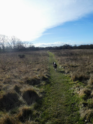
 We crossed the common following various unmarked paths that led in the general
direction of where we wanted to go..
We crossed the common following various unmarked paths that led in the general
direction of where we wanted to go..

 Looking up at the vapour trails in the sky (with lock down these had been much
reducved) I just missed a red kite as it soared over the trees
Looking up at the vapour trails in the sky (with lock down these had been much
reducved) I just missed a red kite as it soared over the trees

 Coming out to the B2128 - the back road to Cranleigh - we crossed over and
went down the very straight Rowly Drive, continuing as it changed into the
drive for Rowly farm..
Coming out to the B2128 - the back road to Cranleigh - we crossed over and
went down the very straight Rowly Drive, continuing as it changed into the
drive for Rowly farm..

 A strange routeing around Rowly farm, and we came out on a straight track
between pasture fields - this was an alternative section of the Wey South path
that bypassed a section of the Downs link.
A strange routeing around Rowly farm, and we came out on a straight track
between pasture fields - this was an alternative section of the Wey South path
that bypassed a section of the Downs link.

 The path curved back to the canal after East Whipley farm - this section had
water in it to Bertie's pleasure, and we followed it towards Run Common
The path curved back to the canal after East Whipley farm - this section had
water in it to Bertie's pleasure, and we followed it towards Run Common

 Some stepping stones over the canal, to avoid doubling back down the other
side after going to the bridge.
Some stepping stones over the canal, to avoid doubling back down the other
side after going to the bridge.

 Through the woods and across the Downs link, before coming out into the fields
of Whipley Manor
Through the woods and across the Downs link, before coming out into the fields
of Whipley Manor

 The drive way from Whipley Manor led to the farm (and retail park) beside the
A281. We had a pause for refreshment sat on a bench beside the farm, and then
continued on the other side down the back road
The drive way from Whipley Manor led to the farm (and retail park) beside the
A281. We had a pause for refreshment sat on a bench beside the farm, and then
continued on the other side down the back road

 The map showed a path cutting back towards Tilsey Farm, but this was so
overgrown we had to find a way around, before everything got better as it
opening into a field, rising to the farm drive. Following this through the
farm yard and onwards towards the hills beyond.
The map showed a path cutting back towards Tilsey Farm, but this was so
overgrown we had to find a way around, before everything got better as it
opening into a field, rising to the farm drive. Following this through the
farm yard and onwards towards the hills beyond.

 A double bend through a wooded area and into more open fields, always heading
to the hills beyond rising all the time. Then a wide track that traversed the
slope (still going up slightly)
A double bend through a wooded area and into more open fields, always heading
to the hills beyond rising all the time. Then a wide track that traversed the
slope (still going up slightly)


