Spring is definitely here, and it has been sunny for several days. I
chose a route that would take in a section of the Serpents trail where it
turns back East towards Midhurst, as well as throw in a section of the Sussex
border path, in a skewed figure of eight. Bertie and I set out for the
National trust car park at Durford Wood near a village called Hill Brow.
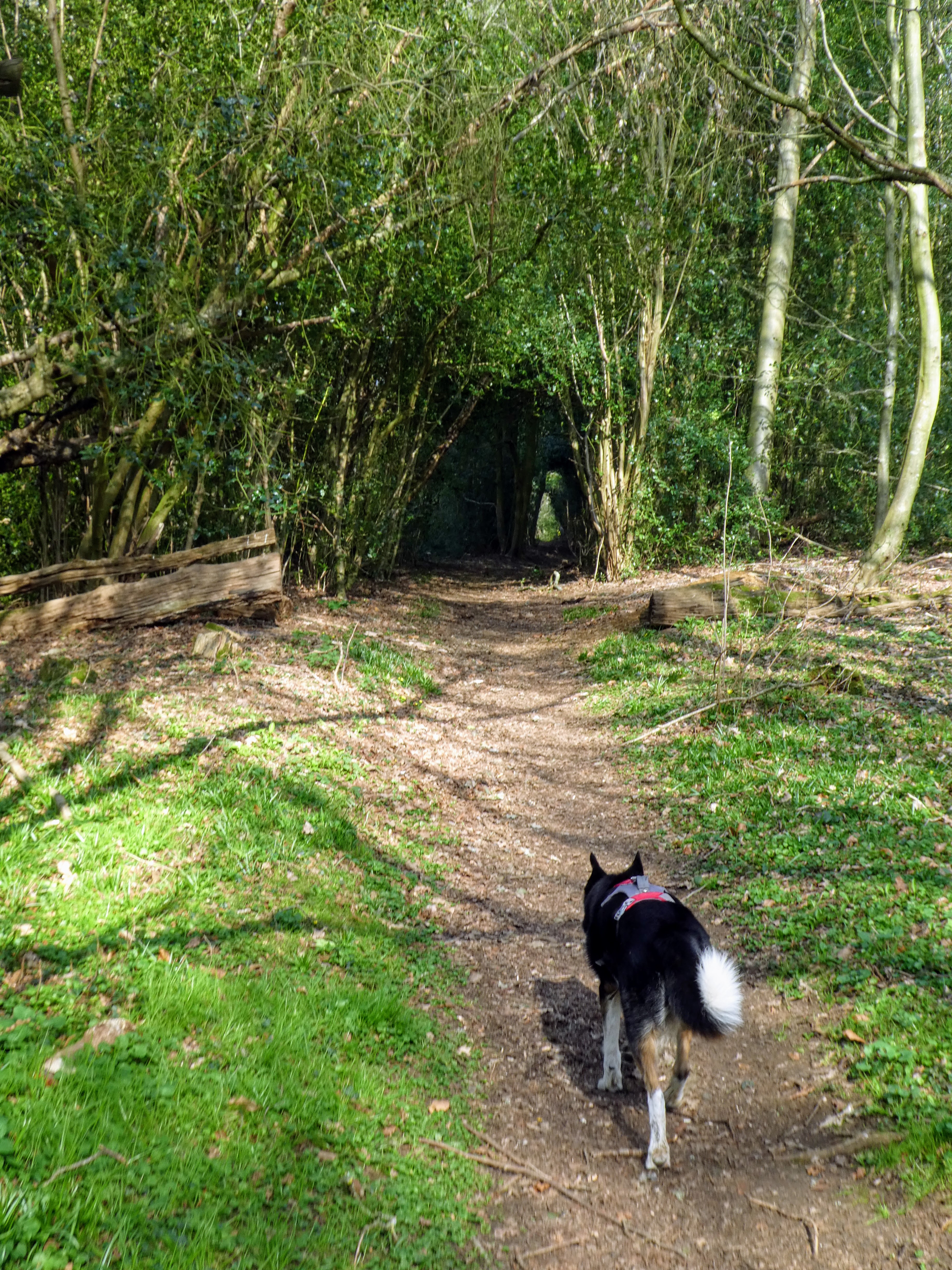
Leaving the car park on the Border Path along the edge of the NT area, dropping
down to a valley in the woods.
Following the valley as it snaked between slopes rising on both sides.
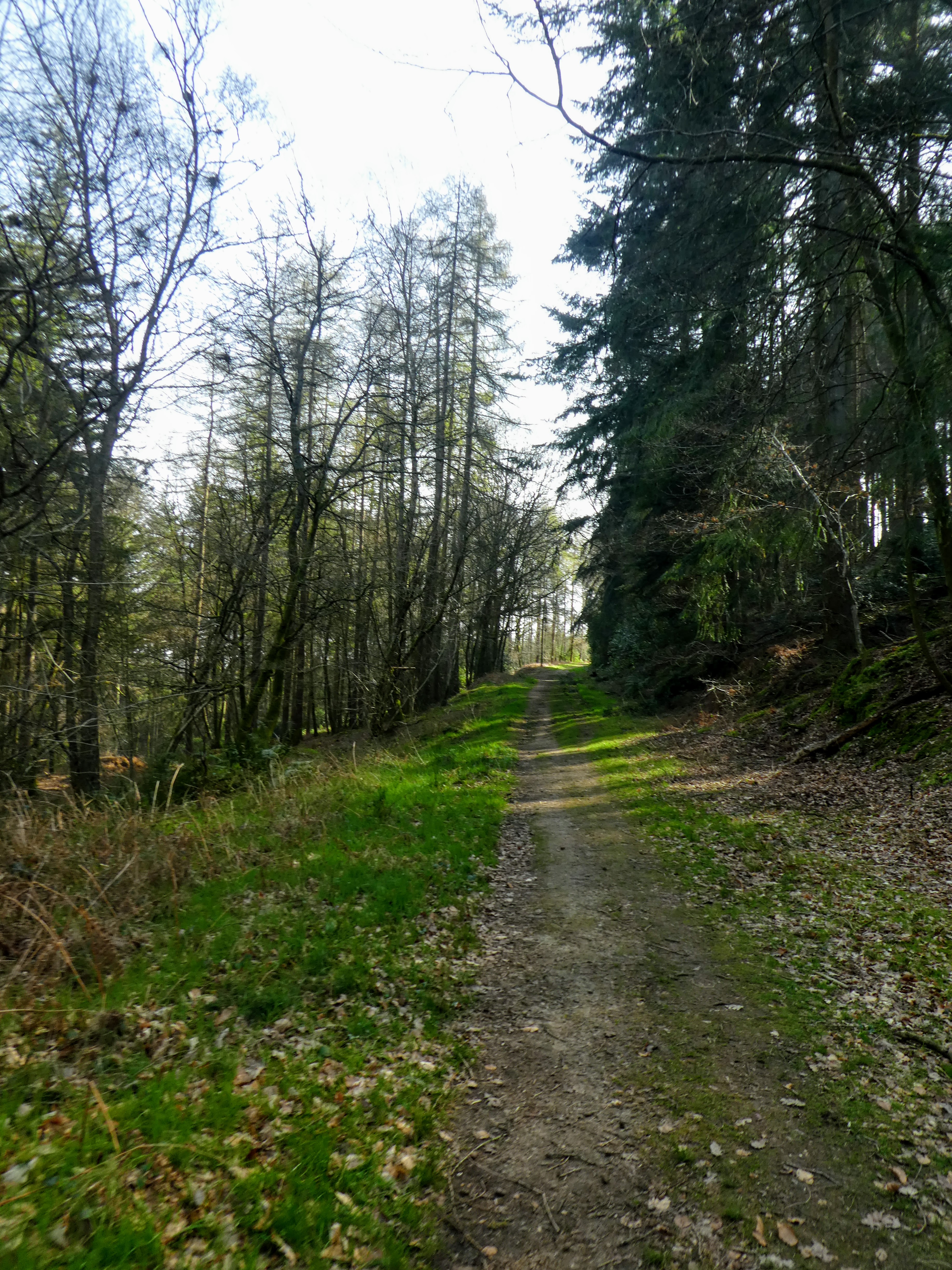
Continuing to follow the curving valley as it came out of Durford wood into
restricted access woods.
The border path climbed up out of the valley and into arable fields.
Coming out onto a green lane, with views across to the south downs in the
distance. Before we reached the A272 we turned East on a second green lane.
Leaving the lane to turn up an ancient sunken trackway with lots of debris from
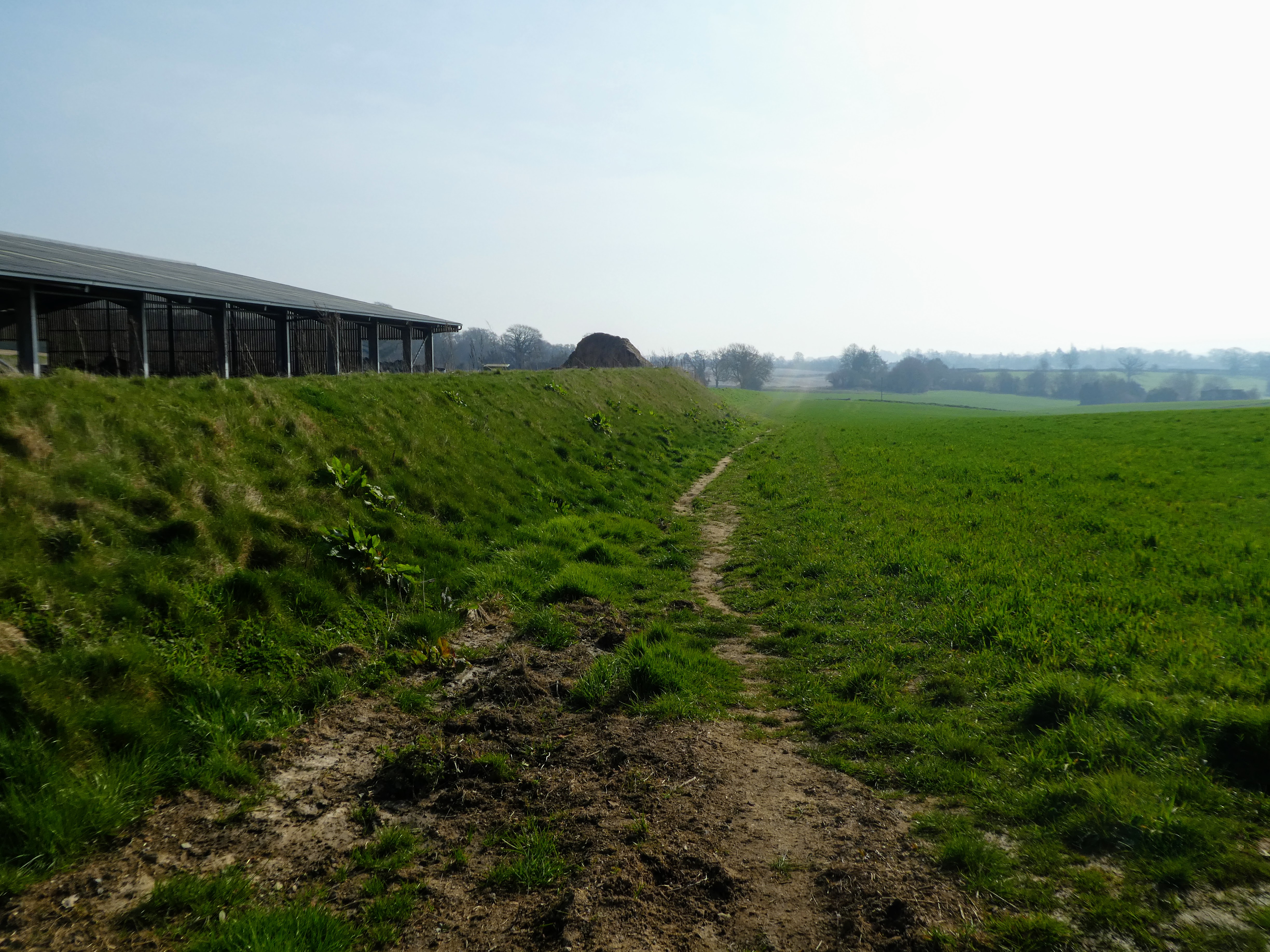
the recent storms. Leaving to cross grassy fields to a farm.
Continuing along past the farm in more pasture and arable fields coming out into
a driveway
The driveway ended at a house, with the path sneaking out of the back of their
parking area, which climbed up into the woods.
Up into Rogate Common and a track through the trees climbing slightly
In the woods we continued in the same direction, coming out close to the car
park. We could have cut through the trees on permissive paths, but I had hoped
there may be a path on the other side of the back road we could use to cross to
the top half of the figure of eight trail planed.
Unfortunately there was no easy path into Combe Hill , and we had to walk around
on the road, and down a steepish slope until we reached a barriered forest
track.
This forest track was the serpent trail contouring around Combe Hill. The track
was cut across by mountain bike trails.
The bike park was very comprehensive ... almost like American ski areas. Lots of
structures and banking.
Crossing out of the bike park, crossing into Tullecombe woods.
The serpent trail snaked up the slope to our right using hairpins of a forest
trail.
On the top of the slope we turned once again and crossed the heathland
Coming out at the forestry commission car park, before walking out down the
approach road, to pick up the minor road beyond.
The next section was a trudge along the back road past Wiseland stables and
Fyning Hill house, until we could pick up a bridle path heading up to
stabling.
Beyond the stables the path crossed into Rondle wood, and a turn to contour
along the hillside.
Continuing along the hillside, until we could drop down to the back road near
Borden village.
Following the road, then picking up a private lane towards Trotton Marsh, then a
green lane heading Exceedingly straight across open pasture land.
Through the barn at the end of the track and continuing along its driveway up to
a back road.
A quick zigzag before picking up a footpath leading through pasture fields, with
some closer views of the ridge ahead which we would climb in a while. Dropping
down to another farm lane between fields.
A zigzag on the lane and then across a field, heading ever closer to the hill
climb.
A very picturesque farm buildings marked the start of the climb, gently at first
before getting steeper after a bend.
Across a byway and so steep it needed steps, before opening onto the ridge and
relief from the climb.
The path followed around some fields beyond the ridge and then came down to
Milland house (we had been here last time we were around this area, and I took a
closer view of the gate opening switch for the footpath)
However we continued down the road and across the woods to the black fox pub in
reverse of last time.
We were now back on the Serpent trail, crossing beside the pub and down a track,
into the start of Chapel Common.
Initially the common was beech woods before switching to pines at the same time
the soil changed to sandy.
Suddenly the common opened out to heathland and grassy swathes. with some sparse
wooded areas.
The Serpents Trail wound around on the common crossing grassy sections and trees
before arriving at a car park down an access lane.
The next section was one I had second thoughts about until we saw the ST signs
pointing in a different direction as to the map ... We had seen this
already on the Serpent trail where subtle changes had been made, but now a huge
detour to avoid the long road section along the busy B2070 into Rake. The new
route took us over the road and down into Coldharbour Wood almost turning back
on ourselves.
Then down a byway diagonally down the same slope, but further along the ridge,
as we had climbed earlier. The by way came out onto Canhouse Lane.
Now the long road section as we climbed gently into Rake village. The road was
not as busy as the B2070, but there was a surprising amount of traffic on this
narrow lane. I am sure better use could have been made of Coldharbour wood. to
cut this down.
Into the village of Rake and then back out down a private lane.
The lane changed as it past the last house and became a woodland track, heading
into the Rake Hanger area of special scientific interest.
Continuing along the slope of Rake Hanger before meeting the back road we had
started this loop on.
Keeping in the woods of Rake Hanger on an unmarked track we walked parallel to
the road climbing more steeply and coming out near a water treatment plant at
the road junction. A short way from the car park. Lunch in the van, thankfully
in the shade and cool after a warm day.