The last section of the Serpent's Trail to the tail in Petersfield roughly followed the A272 from Trotton, however to make a circuit I intended to head south to the Downs, along them before angling up to Dumpford, then returning along the Serpent's trail. Bertie and I parked in the car park beside Heath pond with occasional drips of rain falling.
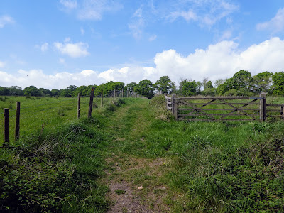
Leaving the car park and heading east looking for our footpath amongst the myriad of tracks in the common. Crossing the road and into pasture fields, crossing a series of electric fences towards heath farm.Beyond, more pasture fields as we followed the path South East, ending with a winter wheat field as we came out onto a back road.
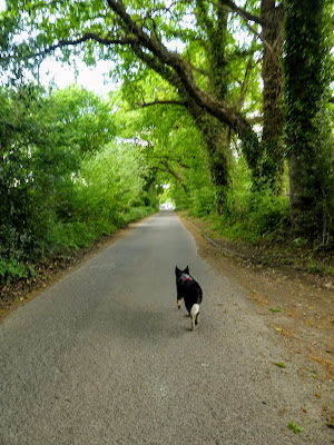
A short section along the road, before we picked up a track alongside a high deer fence - no sign of the animals though. The drizzle had stopped and it was now just muggy.
Back on the road once more, and following the Sussex Border path, we turned south towards the impressive rise of Torberry Hill - no access to the iron age fort on top. Beside the Hill the path separated from the road on a wild garlic lined track in the wooded slope.
South of Torberry Hill we continued along a hedge lined track that climbed constantly up Hemner Hill on a gentle gradient. At the junction with the South Downs Way we turned towards the East, with Harting Down in the mist beyond/
The SDW track meandered along the rolling ridgeline towards Tower Hill.
Crossing the B road that dropped down to South Harting, as we contoured around Tower Hill, coming out at the Harting Hill car park.
Rising into the mist that hung along the ridge , past the copse on top of the hill and beyond the Harting downs. The mist brought a light drain with it damping our clothes.
Dropping down to Bramshott bottom before the steep climb up to Beacon Hill. By now there was a sharp wind blowing the rain onto one side of us that was soon soaked
The initial slope steepened towards the top before easing for the summit platform, and the trig point shrouded in mist.
Over the top and down the other side before climbing up the next bump of Pen Hill. Still shrouded in mist we could see little of the ongoing downs ridge.
Dropping down from Pen Hill towards Buriton farm, alongside the oddly named Mount Sinai, to reach the junction with the path down to Treyford.
The descent from the ridge went down a bank dropping down the side of a steep valley - a bit like glacial moraine. At the bottom we crossed a bean field into the village of Treyford. The wet wild garlic crowded over the track soaking my boots and lower legs, only continued through the bean fields.
Through the village and into the grazing fields beyond as we began the northward section of this route.
Crossing a large number of wet grass fields, some with sheep in but in general heading in the same northeast direction getting wetter and wetter feet. We crossed the trace of a dismantled railway (the Petersfield to Midhurst to Pulborough). We would return to this trace later on several times.
More deer fencing as we approached our turning point at Elstead road. By now my boots were squelching and thoroughly soaked from the wet grass, although my clothes were drying.
We reached the outskirts of Iping common, at the place where we had lost the ST last time we were here, and found the track heading West ... we were now on the ST amended route, through fields towards Dumpford.
A short section along the original route down the road outside Dumpford, where Bertie went for a swim in the river. Another route amendment as we turned south through a wooded glade.
Passing Dumpford park farm the track moved back onto grazing fields, until it reached the disused railway trace once more. Turning along this past fields of sheep on one side and belted Galloway cattle on the other.
Abruptly the permission to use the track stopped, and we turned north again. This track ended at a wild camping site (Clarefield Copse site), with a few tents in it.
The campsite driveway exited onto Dumpford lane merging with the original ST trace. Into the village of Nyewood, down the main street (and over the railway, marked by some antiques).
A twitten off the road left into the woods, eventually breaking back out into the grazing field once more.
A zigzag around down park farm, before walking the boundary of a huge sand pit. Everything was dry on this section and my feet were drying out.
Back alongside the disused railway (however now on a driveway above it). This came out on a back road, and then turned down a track to Durford Mill. This then entered Spy park farm through huge gates - this was the deer farm that the fences we had passed, enclosed.
Some of the deer park residents.
Out the other side of the deer park, across more fields, before crossing the Rother river for the first time.
Turning along the river on the north bank, before a second bridge crossed it again
We had now reached the outskirts of Petersfield, and had to walk down a lane then the suburban sprawl streets. At the corner of the common we entered past the cricket fields.
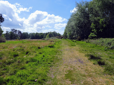
Through the heathland, as it became more sandy until we reached the top of the lake.
Going around the lake to get back to the van in the car park, and resting in the shade.


