The sun had returned and it would be a hot day, so Bertie and I set out on a shorter walk, aiming to fill in one of the final pieces of the Serpent's Trail puzzle - joining where we had left it at Heyshott Common and up to Midhurst Common. where we met up with the Stedham common section we would cross the A272, and follow the Lipchis way back around following the River Rother to the castle, finishing with a direct track back to the car park.
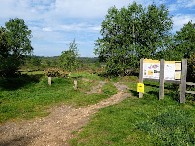
Parking on one of a number of car parks along the back road between South Ambersham and Heyshott. Leaving the van we angled across the common to pick up the STBack on the ST cutting across the heath land, following the track we had been on before for a short while.
A sharp turn took us back into the woods - open Scotts pine.
touching the dismantled railway (a constant companion on this turn of the ST
Before a sharp turn back into the woods.
Crossing out of the plantation and into more looser woods, that came out onto the drive way for a farm
Turning at a crossroad onto one of the drives to Dunford house, with a well lit and observed parking area.
The drive dropped down to a river, before climbing up beside a huge sand pit (over the bank to the right)
A misread sign led to a minor diversion down a path that came out at the Royal Oak pub, where we had to turn back to pick up the path again near the A286.
Along the side of the A286 to pass the Greyhound pub, before turning down Pitsham Lane (under another disused railway - the side line that went down to Chichester).
Past Pitsham farm, and continuing along the lane as it worked around the south of Midhurst.
The lane passed new housing estates on one side and New pond on the other, before crossing Bepton road into Midhurst Common.
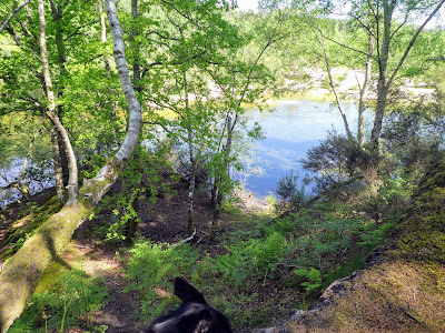
The path climbed above a pond in a disused sand pit, keeping in the mixed wooded area, before circling around the end of the sand pit.
The trail followed under some power lines on a cut between the areas of forest, gradually climbing.
Contouring around the high point of the common, and then dropping down to meet the point we had picked up the ST earlier in the year.
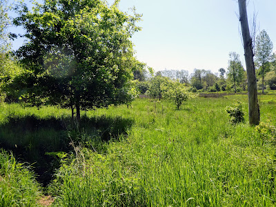
Crossing the A272 beside an unmarked carpark and onto a section signed as the "river walk across pasture and through a small wooded area.
Looking across to Woolbedding house on the other side of the river, before crossing a further pasture field.
Following the New Lipchis Way as it followed the fields above the river Rother, before it dropped down into the marshy area beside the river
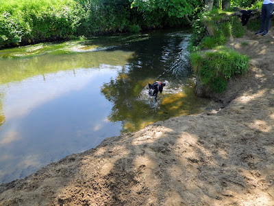
Bertie needed to wash off from a previous muddy puddle dip, and we found several access points into the river, as we continued alongside it.
Reaching the weir before the A272 bridge, we climbed out beside the college grounds.
Up the high street to the carpark entrance where we could go down the causeway to the castle ruins.
Bertie remembered the bathing bank beside the castle from last time he was here. A short dip before we continued alongside the river. Then climbing up the side of fields
The path came out at some converted barns and onto a back road, which we followed down to a T-junction.
A bridle path followed a driveway alongside Coster's Brook, before turning up the hill on a boggy track (we climbed up the bank on the right hand side)
We had been on this path in Todham rough when circumnavigating the polo fields. Leaving at the pint where we met the dismantled railway crossing we had touched on the outward trail.
We left the track of our outward trail, following a track below some power lines, which converted into a firebreak.
A zigzag across a stream and we headed on a path that took a direct route back to the car park.
We returned to the outward trail, as we crossed the ST and followed this back to the van waiting in the corner of the car park. Time for refreshment and a sit in the shade.
