29 July 2022

Kithurst & Burpham Circuit, South Downs

Manipulating the walk postulated by the Austrian Alpine club local walk and moved it slightly more Easterly. Also I planned to start at the Kithurst car park, following the SDW to Chantry Post car park and then on bending south away from the SDW. At the A280 we would pick up the Monarch's way and follow it back west to Warningcamp, a little fiddleto reach Burpham, then up the lanes back up to South Downs ridge and Kithurst.

We were early to the car park and had our pick of places, selecting a shady spot under tree branches. Picking up the SDW towards Kithurst Hill.
The SDW actually bypasses the top of Kithurst Hill to the south, following the rolling hills towards Chantry Post.
A few cars were at Chantry Post, and a significant finger post.

Once past Sullington Hill the views opened out to the north and also through the hill tops to the windfarm out to sea at the south.
We took a path that pulled away from the SDW, and passed south of Highden Beeches wood
Gently dropping down on a Byway, passing an adventure centre (and a number of cars heading for a shooting session). After a driveway we transitioned onto pasture fields heading for the A280 at the end of Church Hill
Now on the Monarch's Way - following a chalk track over the hills in a line to the horizon. We had to pause on the rise up the last slope, whilst some cows were moved to a different field, so we could avoid Bertie panicking too much between the barriers of the fences.
Over the top the lane merged into a footpath, through a dip then up the other side to meet Longfurlong lane
We crossed the lane and followed a farm driveway that ended at Myrtle-Grove farm - diverse workshops for mower repair and ambulance works. Then a footpath between pasture fields continued the westerly direction.
The path moved on to Corn fields, before meeting the road at Michelgrove.
We had now entered the Angmering Park estate, and into the Michelgrove park wood.
Around a hairpin on the track and deeper into the wood - nice and shady and cool
After a forest lodge we left the forest tracks and continued on a tarmacked, still through the woods in a straight line.
At the end of the woods we split away from the road and dropped down a steep slope into a pasture dell with steep sides, where we followed the bottom.
The MW path crossed into South Woodleighs wood - this was partially blocked and a notice about Dutch Elm tree work, but it should have been completed according to the notice. However the workmen at the other end told us off, but allowed us to pass by and come out on the Burpham road.
In search for some water for Bertie, we cut over the fields towards the river Arun, the tributary was dry, however ....
He sniffed out a muddy wallow and lost all the white colour, before we cut a deeper river where he could clean up - the banks were a little steep but such was his desire to get in he jumped.
Looking up to the village of Burpham, we climbed up the edge of a steep bank known as Jacob's ladder. We walked along the top of the cliff and across the playing fields. The temptation of the pub in the village was almost too much, but we crossed through the church graveyard and up the path beyond.
Beyond the village we dropped dopwn a back road until we could turn up a chalk farm track passing between high hedges which gave us some shade as the sun beat down from clear skies.
The lane wound slightly as it rose gently up to the horizon.
Above us the red kites vied with the gliders for mastery of the skies.
At last the end was in sight, after a number of false summits. However we did have to zigzag across a corn field and then up the side of the woods.
Up a slight depression alongside a small wood beside a corn field. Climbing up to the ridge line and coming out at the car park. Pausing by the car for a small picnic (as well as several other parties scattered through the car park!). Then home.


26 July 2022

Thorney Island Circumnavigation, South Coast

I had been meaning to do the circumnavigation of Thorney island since finding out that there was a permissible path around the MoD land when looking at the Sussex Border path, which terminates (or starts) with this circular punctuation mark. We set off early and there was space in the small car park at Prinstead harbour (really just a small beach)


The footpath started directly from the car park, around the nearby bend and onto the Marina around the corner.
A pair of narrow footbridges crossed the marina entrances, which Bertie was not happy with, before the path continued on the shore edge 
Approaching Prinstead point and a better bridge for Bertie (less enclosed). By now we were used to the coast path - a hard packed trail riding on a berm protected from the waves by a concrete ramp.
Looking out across Pinstead channel over to Chidham Peninsular

Once across the Great Deep we passed through the MoD fence with a simple press on the intercom.
Around Stanbury point and views over to the airfield buildings one way and over to the Witterings over the channel.
Approaching the village of West Thorney, and its Jetty out to local boats
Around the head passing the yacht club building (with crowds of people preparing to go out on the water). Then onwards down the coast path.
The runway and perimeter road for the airfield
Looking out from Longmere Point to the Witterings over Pilsey Island.

The sand dunes around the end of the island, passing Pilsey Island spur, and a sandy beach (the only real one on the walk)
A slight diversion onto the short sandy beach, which was covered with shells.
Back on the coast path, passing an access point from the perimeter track around the runways, which some locals were parked up.
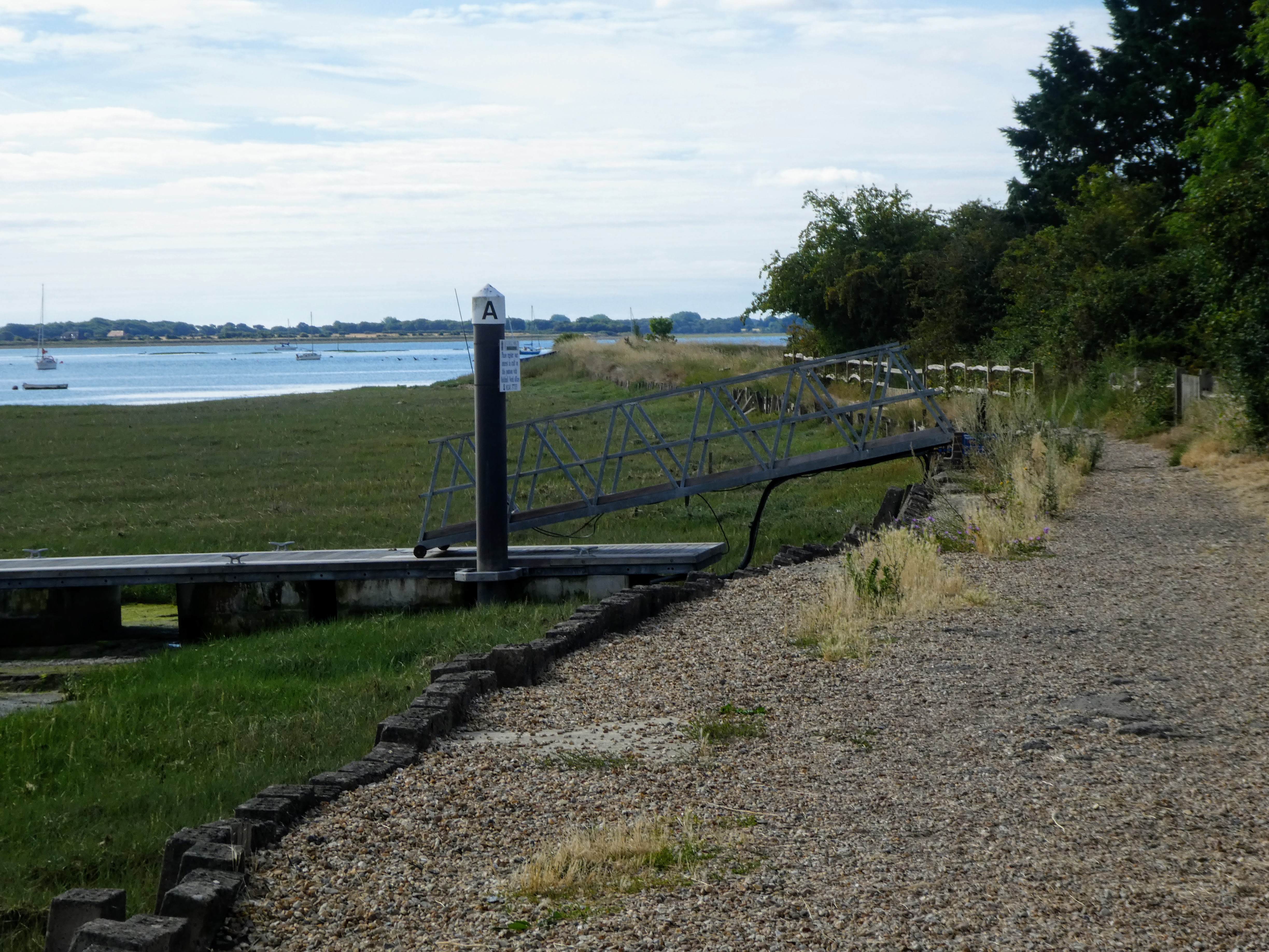
After we left the "crowds" we found a small concrete jetty, and some debris to stop on for a refreshment break.
Back on the coast path as it passed the other end of the runways and turned to approach Marker Point.
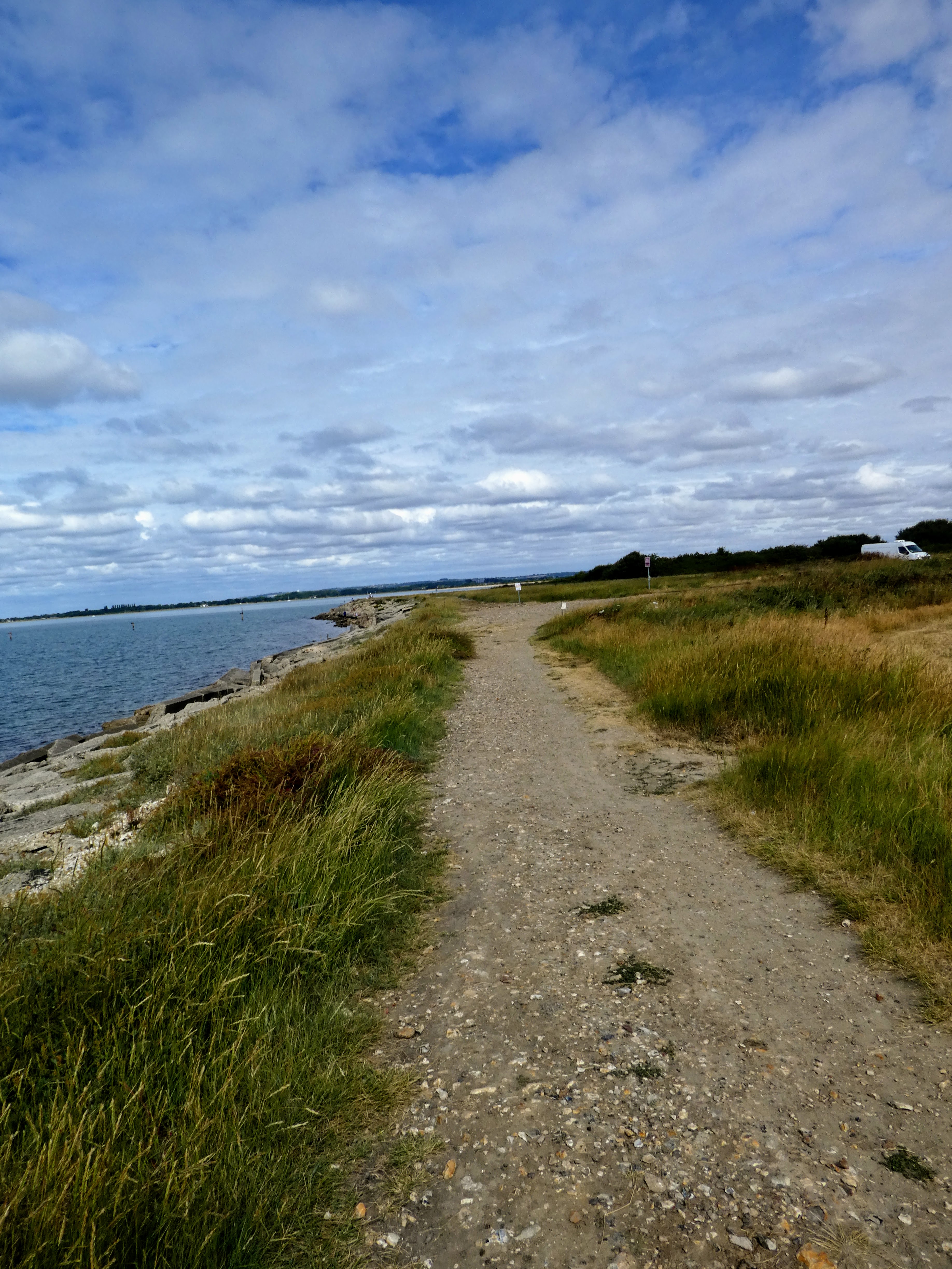
A view down to the channel between the Witterings and Hayling Island. Around the point and a classic shingle beach with shrubbery.
The view from Marker Point and across to Hayling Island.

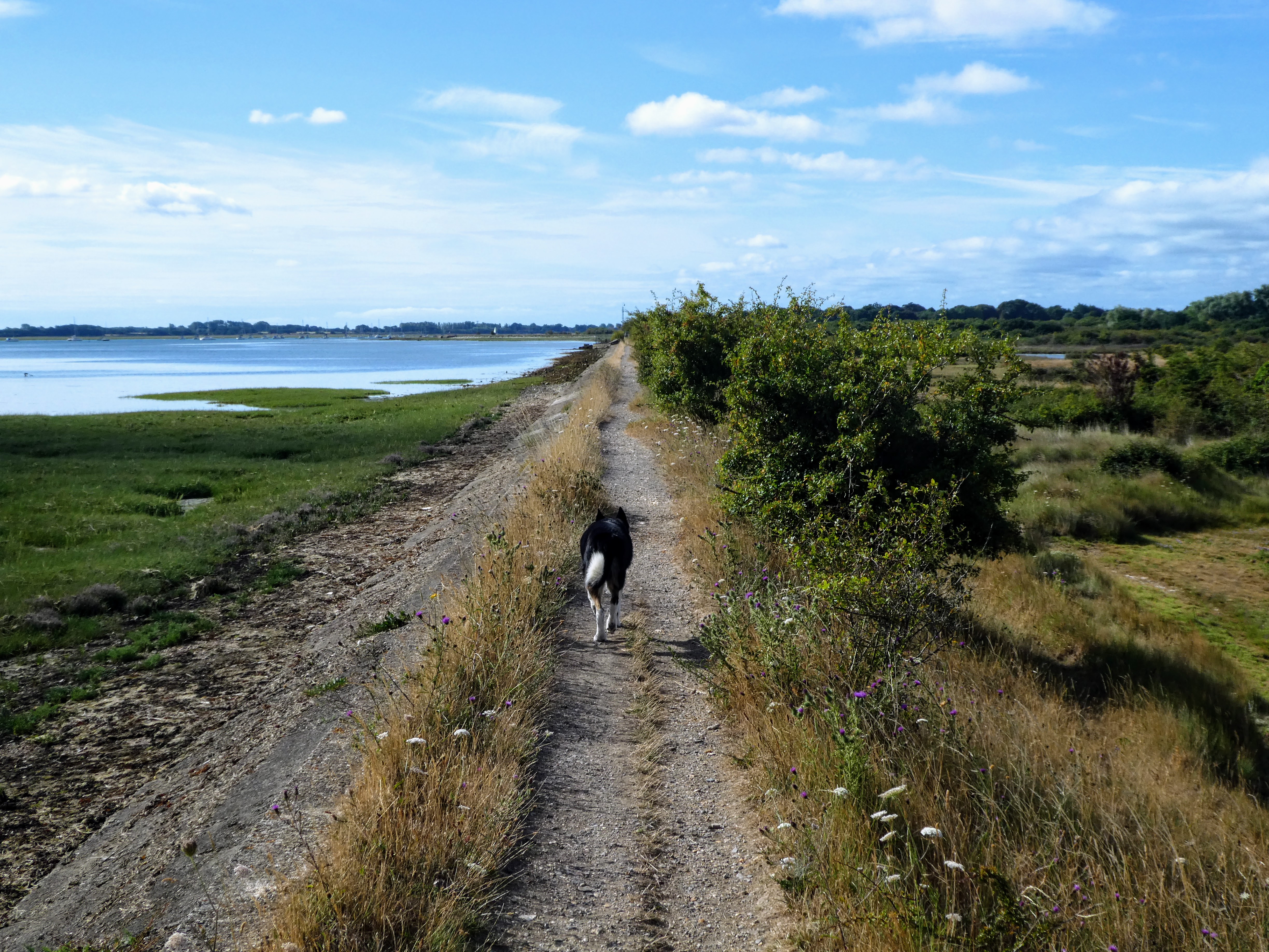
Back on the coast path and around a pair of inlets as we approached the the turn around towards Emsworth.
Around the point in the middle of the inlets looking to the marina at Emsworth
Around the second inlet looking towards Wicknor point 
From the point looking over towards the end of Hayling island where it bent around to the causeway.

At Wickor point we reached the end of the MoD area and had to pass through the gate once again
Beyond the gate and over the Great Deep

The coast path now followed the water on a raised levee or causeway, in a straight direction to the marina at the end of the channel.
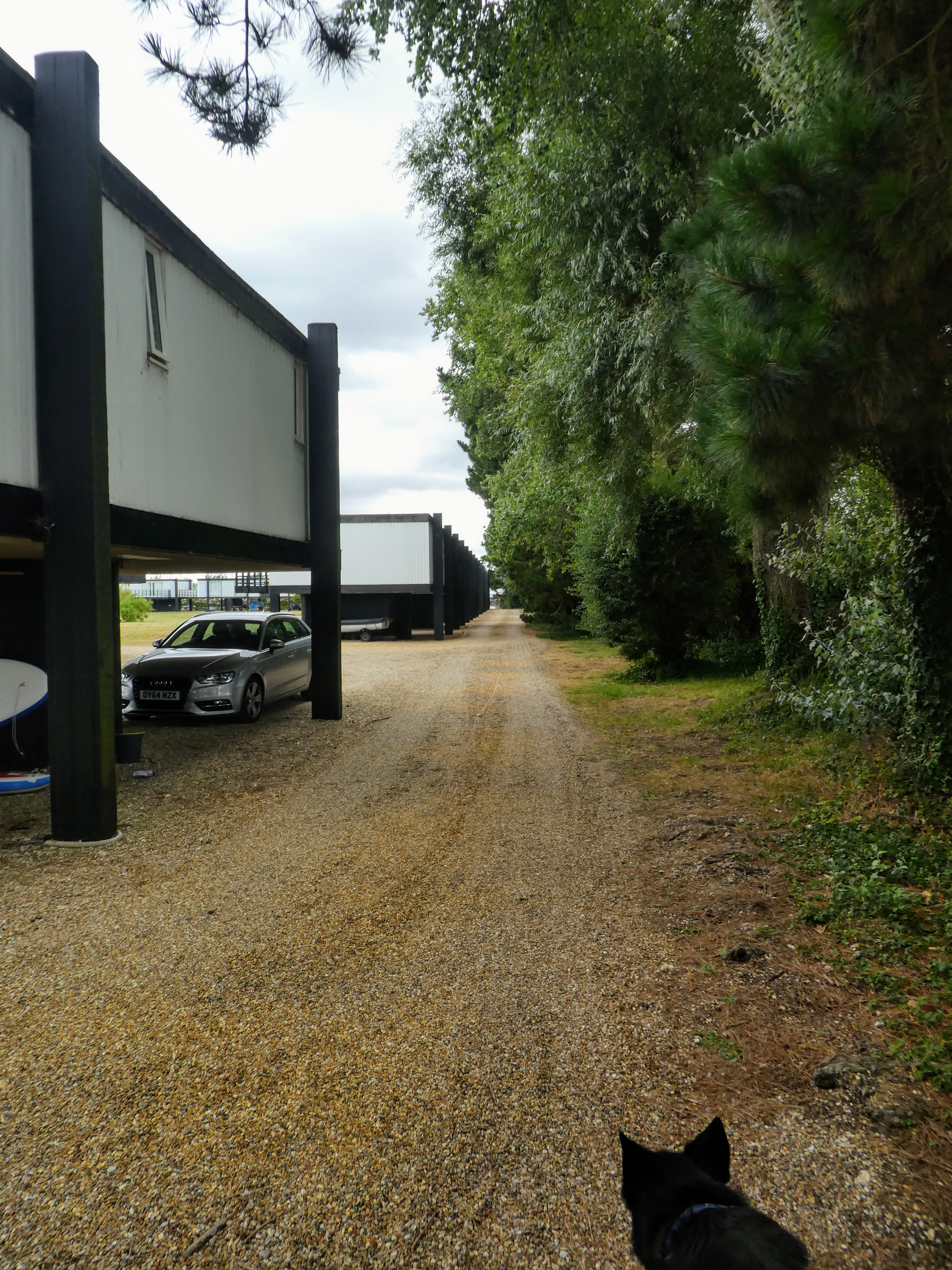
At the end of the causeway was a strange holiday camp ...  portacabins on stilts arranged in a park as cottages. Our path ran around the outside of the camp as they restricted a direct route across it.
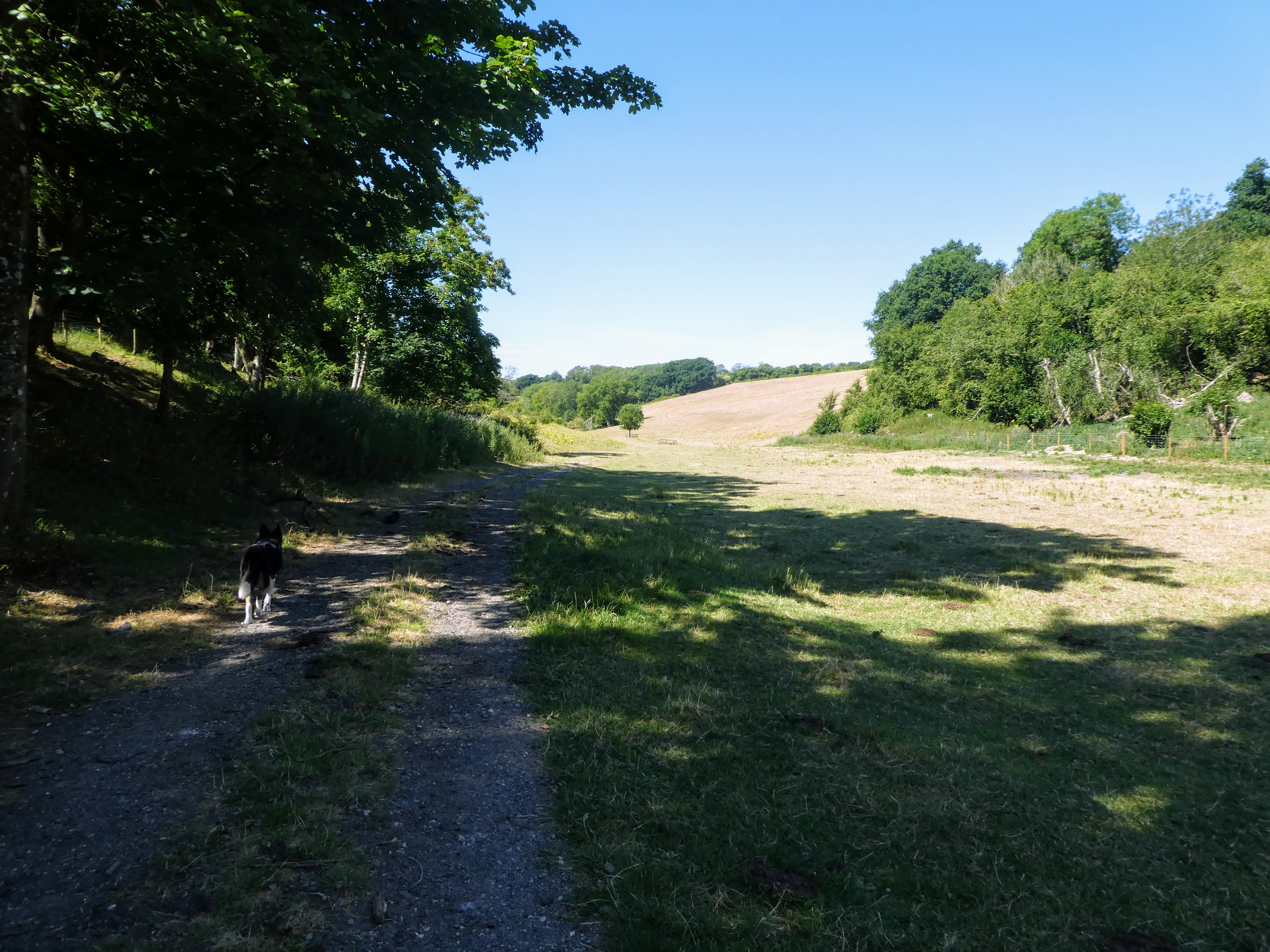
Beyond the camp we crossed a pasture field and the MoD camp access road, before disappearing down a path beside the waterworks. Beyond the works the sides of the path opened to Oat fields.
We surprised this deer walking down the path the other way, so had to wait for it to go back the other way and dissappear.
The deer went through the gate by the farm house and we followed after a while, then picked up the lane that led back to the car park and the van.
Back at the car park we stepped up to the platform looking over the inlet to have a refreshment break, before jumping back into the van and returning home.