The tide was out (or going out) when we arrived, and climbed the bank to the coast path. Turning left away from Thorney Island and following the estuary around to the nearest point.
Around the point and onwards following the edge of the estuary heading for Chidham.
Just before the estuary turns around to follow the Chidham peninsular, we followed a path heading inland towards the village of Nutbourne. The path entered the village beside a small parking area on farm lane. We followed the lane up to the A259, and crossed to pick up the onward path beside Ham Brook (hidden behind the new builds).
Moving between a new estate and hedges before coming out to fields heading to the railway. Unfortunately the crossing was closed and we had to retreat the way we had come back to the housing estate.
We took the circumnavigating path for the housing estate back to the A259, then a tedious section along the footpath
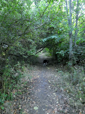
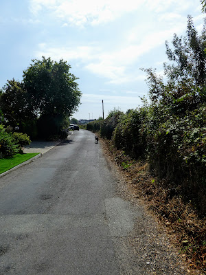
The was a footpath up to the station (Nutbourne) along a back entry which turned into a foot path. This came out at the end of the platforms and a crossing point. I suspect the residents use this to get to the far platform, as the ongoing path was very overgrown Beyond the station we navigated a path around the back of houses and behind some farm buildings. We turned down the Prior Leaze Lane, and up Hambrook Hill South lane, until we could escape the urbanity along Brook Meadows
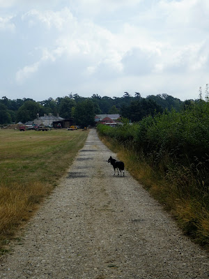
This lane led along a well made lane to Wintons Farm, before mutating into a farm track beside fields.
The farm track crossed the A27 dual carriageway using a narrow stock bridge, and then turning alongside the main road in a harvested field.
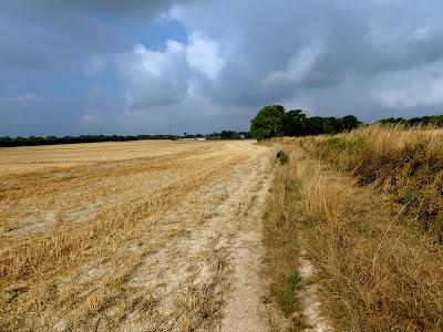
Still paralleling the main road through a wood and out into another harvested field. Once more the farmer had diverted the path around two edges of the field, rather than directly across it.
In Woodmancote we took the lane opposite the pub going north past Jaybees farm. The lane was fenced in with hedges past horse grazing fields.
Crossing a back road, with a slight stop for Bertie to drink a bowl of water, we continued alongside a wood, with views up to the Racton monument/ folly on the hill opposite (it is actually triangular, but the front turret is the largest)
Leaving Racton park wood behind, we crossed the sheep fields of Racton Park farm , before dropping down its drive to the B2146
The road continued north and we cut of across a field (after a spot of re-tracking due to too much looking at the map and not enough examining the reality).
Crossing the driveway to Lordington house (now a nursing home) we took what we believed to be the foot path opposite and followed it along the fence, before having to cut over a dried up pond to get back on track
Two huge fields beyond the edge of the gardens over the rise to the village of Walderton.
On the outskirts of the village we joined the MWP - which followed the tarmacked Woodlands lane climbing up a slope into Lordington Copse - bit all was hidden behind large hedges.
The lane mutated into a gravel track at the outskirts of Stanstead park - still with large hedges and not a lot to look at.
The track merged into the driveway for the big house, however still no views except a fleeting glimpse as we passed a vista cut into the trees. Then down to the gatehouse.
Across the back road and onto what is marked as "The Avenue" - a huge grassy swath going for about a mile away from the big house to the West and Rowlands castle.
After a kilometre along the avenue we met the SBP and turned south, alongside a harvested field.
The path turned East (back around the direction we had come form - but this was expected) along a farm track to the farm buildings of Holme farm.
From the farm a sharp turn right and following a concrete track past horse fields before it continued into Southleigh Forest
The track crossed a back road and continued south to a second back road.. all on a forest track. beyond we continued on a new cycle/ bridleway to a cross roads of paths, where we paused for some refreshments on a handy seat.
Leaving the forest we had to work our way through suburbia, first on a long copse lane, then a path (and road) through an estate. this came out at the B2147which we followed to New Brighton, where we turned off down a cycle/ foot path
Unfortunately this was parallel to the one we wanted and there was no way to cross over to get to the SBP beyond the house gardens. We had to walk down the street, then do a big circle to get over the A27 and the rail line, before we could follow a semi industrial road to a park.
The bonus of our misfortune was to find a park with specific dog splash areas in a clean flowing river - Bertie was overwhelmed.
Beyond the park w followed the SBP past a number of ponds down to the marina, crossing the A259 on the way.
Just before the marina we turned east to pick up the footpath to Prinstead, across a horse field and then down behind rows of houses.
a final field before coming out on the road through Prinstead, which we followed as it turned down to the beach.
the road came back to the beach car park, and the van. We sat on the sea wall on the benches in the sun and had some refreshments before the journey back home.


