There was a section of the Sussex Border Path above Rowlands castle that
I had not completed, I planned to park in the forestry commission car park at
Havant thicket then work our way through the town to reach Stanstead forest,
then across the forest to West Marden. from here following the bridleways in a
dog leg around Compton, before heading due north up to the South downs. Along
the SDW to pick up the SBP where we had left it earlier in the year, then back
down the SBP to Chalton. Continuing due south on the same path to return to
Rowlands Castle, and through the maze of streets to return to the car park.
The car park was off the B2149, in a recently renovated area of the forestry
commission woods, however the barrier height was very tight for the van, and I
really should have left it outside. Leaving the car park and zigzagging through
the housing estate and across the end of the golf course to the club house car
park.
Negotiating more of the maze, along a back entry and out by the railway station
and bridge.
The other side of the rail line, we followed the Finchdean road until we reached
the path into the Stanstead forest. Taking this trail and heading up the path
that angled across through the forest to its north east tip.
The path cut across the grid pattern of fire break tracks. Every so often there
was a wide vista track. One of these should go down to the big house, however
there was no obvious clear view.
The forest changed and became more open as we reached the top - more likely the
subject of a prior years harvesting.
Unfortunately the path did not continue across the road and we had to head up to
the edge of the village of Forestside, where we could continue along the top of
the forest.
Leaving the forest to cross grass and crop fields to reach a byway
Along the Byway and the back road it merged with until we could take a farm
drive way up to the bridleway.
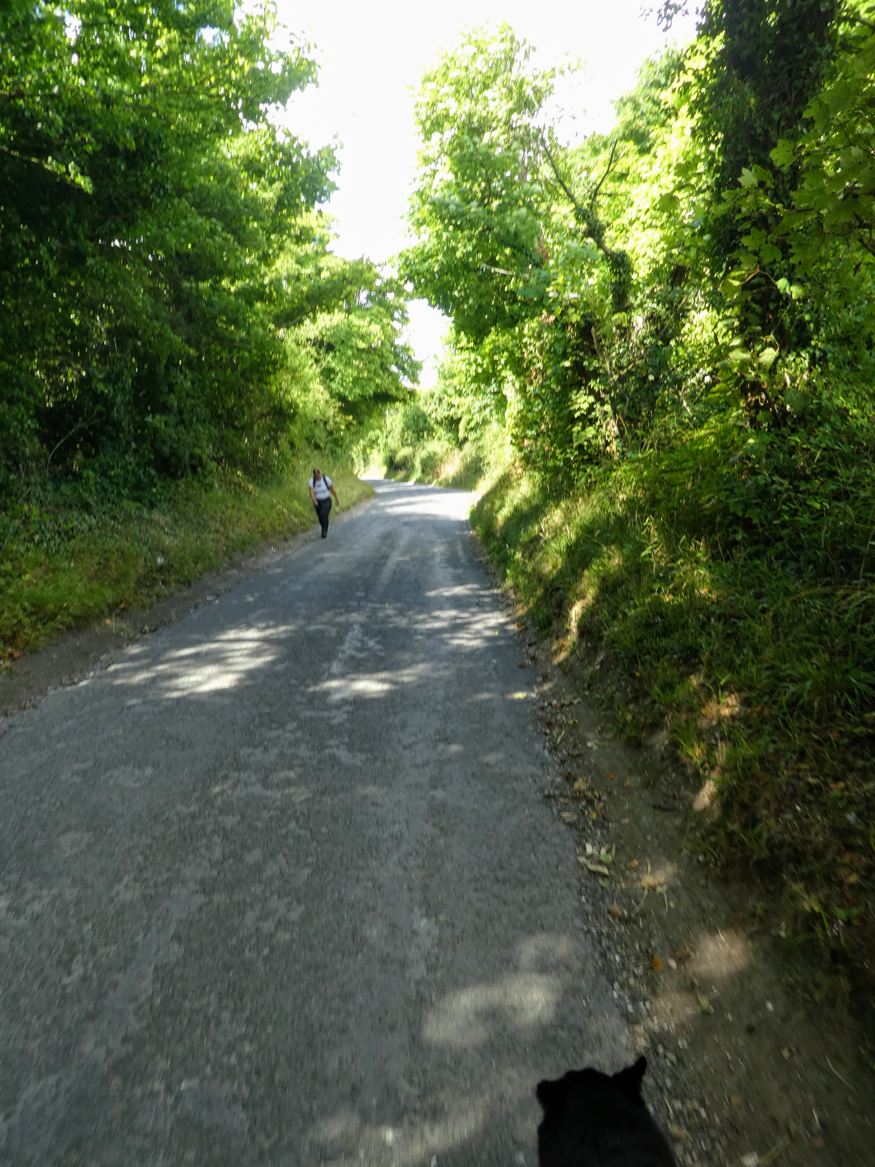
The bridleway followed a green lane with high hedges where the only views were
of the mountain bikes streaming past.
The bridleway made a wide turn into a patch of woodland, initially yew glades
the thinned out to another green lane bounded by hedges
Finally coming out of the woods, with views up to the South Downs ridge. The
path crossed a pasture field then cut across to this tree as it merged towards a
back road.
Following the back road down to meet the B2146, then turning north to follow
it for a short while until we could go up the farm drive for Hucksholt farm,
and thence onwards on the farm track.
Climbing up Booker down with views up to the south downs ridge, then turning
directly to the ridge
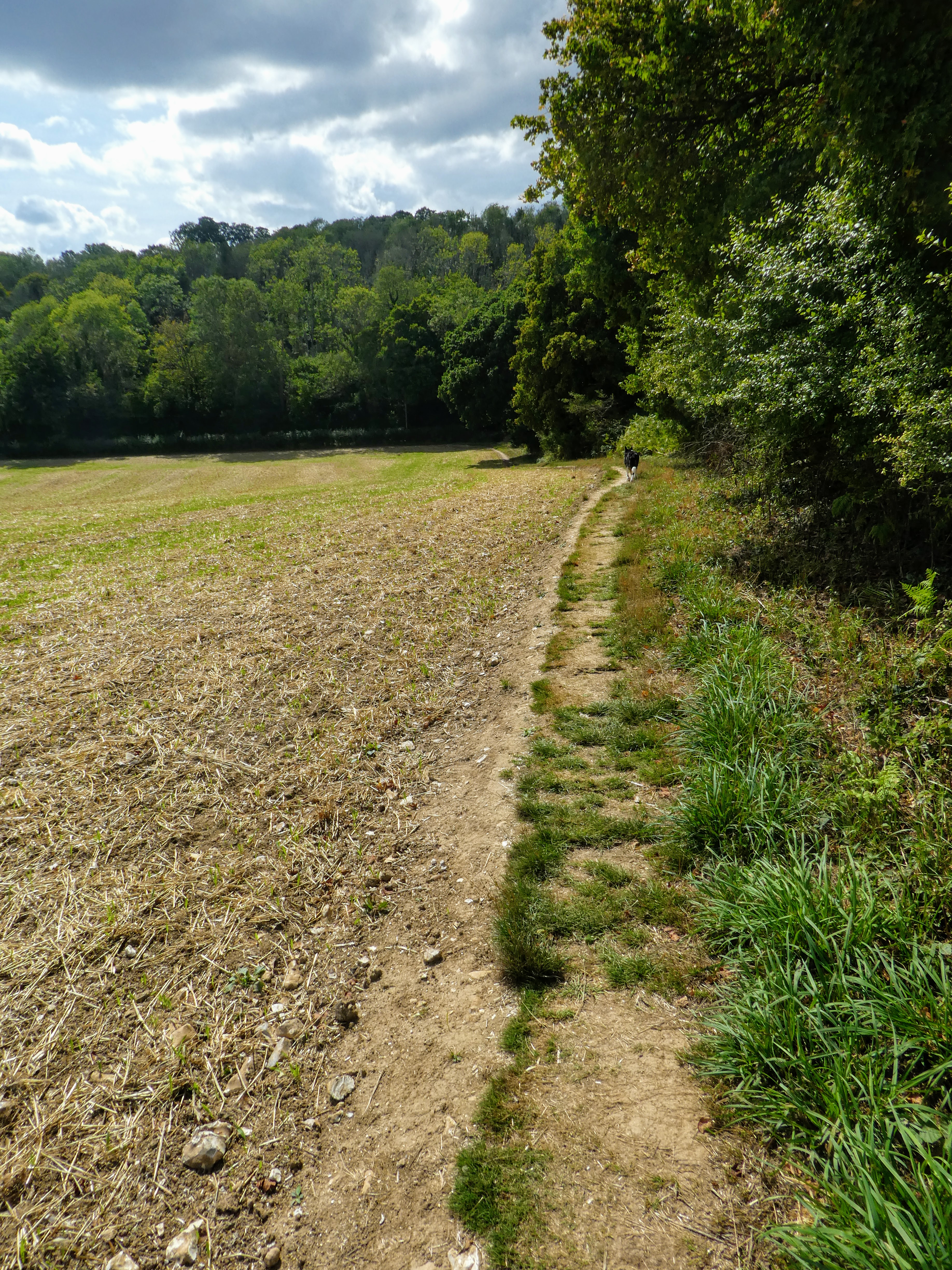
The path became overgrown alongside round down, and we escaped to the side of
the field alongside, and to rub salt into it, we had to negotiate a barbed wire
fence to get onto the SDW.
At the junction of SDW and SBP we turned south and followed the driveway for
Foxcombe farm. After passing the farm it continued as a gravel track.
The SBP continued up a narrow path climbing West Harting Down into the trees.
Inside the woods we wove in and out of tracks and paths, with very little
signage.
After descending a little we picked up a firebreak track and followed it until
the SBP cut off down a very rutted and overgrown track - looking at the map we
could have continued on the firebreak in a loop around.
The path left the wood along a boundary path, and beside some horse fields.
The SBP merged with the Staunton way and crossed the railway line by a
footbridge. On the otherside there was a surprise steep climb up Charlton
peak.
After the effort of the climb there was a gentle descent to the village of
Chalton, and we paused for refreshments opposite the pub, and in front of the
church.
Behind the church we came out into a corn field with three radiating paths.
Picking the one heading due south up Chalton down.
The views back up towards the south downs ridge behind us.
Onwards along the top of Chalton down, with views across to the Isle of
Wight.
The SBP (still twinned with the Staunton way) worked its way around the edge of
fields close to the top of the ridge heading to the village of Finchdean.
The final approach down to the village was beside a ploughed field and along the
hedge at the bottom. Into the village on a back road turning right at the pub
Leaving the village and climbing up treadwheel road before continuing on the
green lane when the road turned away.
Through the fields up to the outskirts of the town of Rowlands castle, then
turning away around the edge.
Crossing the railway line once more and back onto Finchdean road towards the
town. Picking up with the outward bound trace where we left the road into the
Stansted forest.
Once in the town we skipped the maze of back routes we used on the outward
journey and went across the town green and down the road to the B2149, although we did skip through a grave yard to cut off the corner.
Along the B2149 and back to the car park with thee offending barrier. The way out was a bigger bump than going in, however it just tapped the solar panel junction covers.