Starting from the Western limit of last weeks walk at Cheesefoot Head, the aim
was to follow the final section of the South Downs Way, down into Winchester,
then around the Water Meadows. Leaving the Itchen Way below St. Catherine's
Hill, and opposite the site of an old lock on the Itchen navigation, climb
around to the top. Drop down into the valley beyond before picking up the
Pilgrim's trail (Winchester to Bishop's Waltham) to Hazeley Down. Finally
following Fawley Lane back up to Cheesefoot Head.
Parking in the car park at Cheesefoot head avoiding the remnants of the Boomtown
festival takedown using it for free overnight stays. We left the car park in the
corner by the road to pick up the SDW at the viewpoint looking north.
Across the A272 we crossed a harvested field, before following the hedge line to
the right.
The path dropped down from the high point in the middle of a scrubby hedge,
before coming out to a field and a tumulus standing out.
Views across the science centre at the A272/ A31 junction.
Looking south over the hedge in the general direction of where our return route
would be, following a well used track looking down towards Winchester.
The SDW markers showed it following Gypsy lane around a hairpin, however a
shortcut cut over a ploughed field and a small wood before joining it again
lower down.
Picking up a back road into Chilcomb village.
Beyond the village the SDW crossed a series of harvested fields, following a
hedge. There was a few bursts of firing from the nearby ranges, but had less
impact than shotguns on Bertie.
Crossing the road complex where the A31 and M3 run parallel to reach the
outskirts of Winchester City.
Skirting around the houses and down Chesil Wood road. Gradually becoming more
built-up. Eventually emerging from the maze of roads to the B3330
Some relief as we crossed a park, and down to Wharf Bridge crossing the river
Itchen where it narrows through the city
Turning down the path beside the water meadows, Bertie jumped into the chalk
stream beside the path, and had to be lifted out
Further down opposite the college buildings the bank was lower so he dived in
once more.
We crossed a back road, and re-entered the meadows - now a bit more wild. On the
other side of the valley St. Catherine's Hill dominated the view.
We passed the hospital of St Cross ... a medieval place of sanctuary. No
complete views due to the boundary wall and strategically placed trees.
Beyond the religious buildings we continued through the meadows up to the
bridges road across the end of the meadows.
St Cross bridge across the main flow of the river, and straight road towards the
M3
Just before the motorway we passed through the pillar remains of a railway
bridge, and picked up the Itchen Way back up the other side of the meadows. This
was a paved cycle track, that looped under a bridge of the same decommissioned
railway. We reached the remains of St Catherine's lock and the race of the water
wheel.
Looking up to St Catherine's Hill, just before leaving the cycle route and
following a circle route around the lower ramparts of the hill.
The circle route met up with a path coming form the main Tun Bridge car park. We
turned up the hill on a path that started off straight up before angling right
for a bit.
Climbing the top ramparts, before the final slope up to the summit.
Looking back down to Winchester below - the St Cross religious buildings stand
out. The actual top is covered in trees with glades
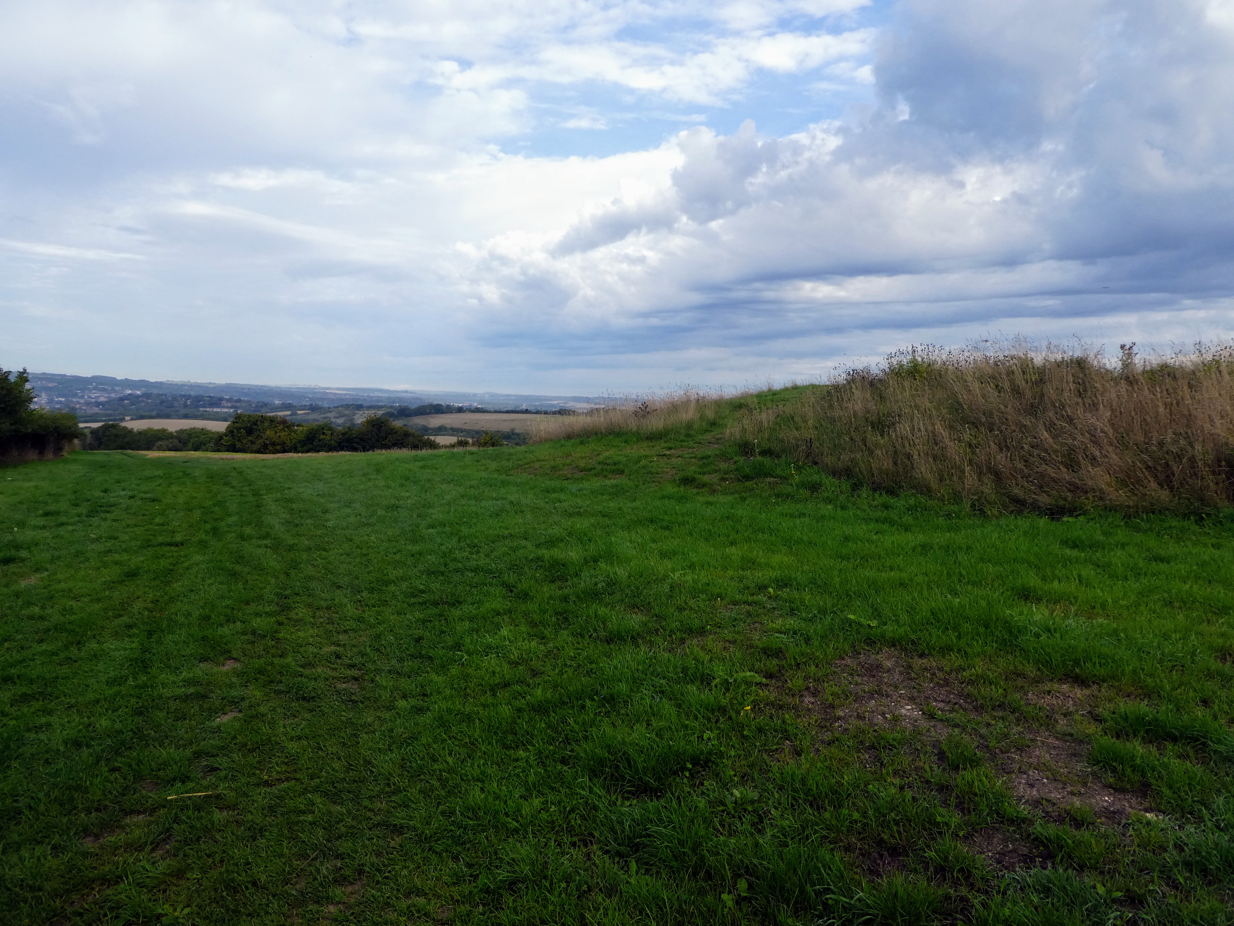
Looking east and south from the top across to Twyford Down
Over the edge of the plateau to the upper ramparts below. we would drop down
over the ramparts and into the valley beyond.
Across the lower ramparts and down into the valley, turning left and climbing
again towards the M3
Across the Motorway once more, before picking up the Pilgrim's Trail as it
climbed up Twyford Down.
The trail climbed over the rolling hills beside the Hockley golf club
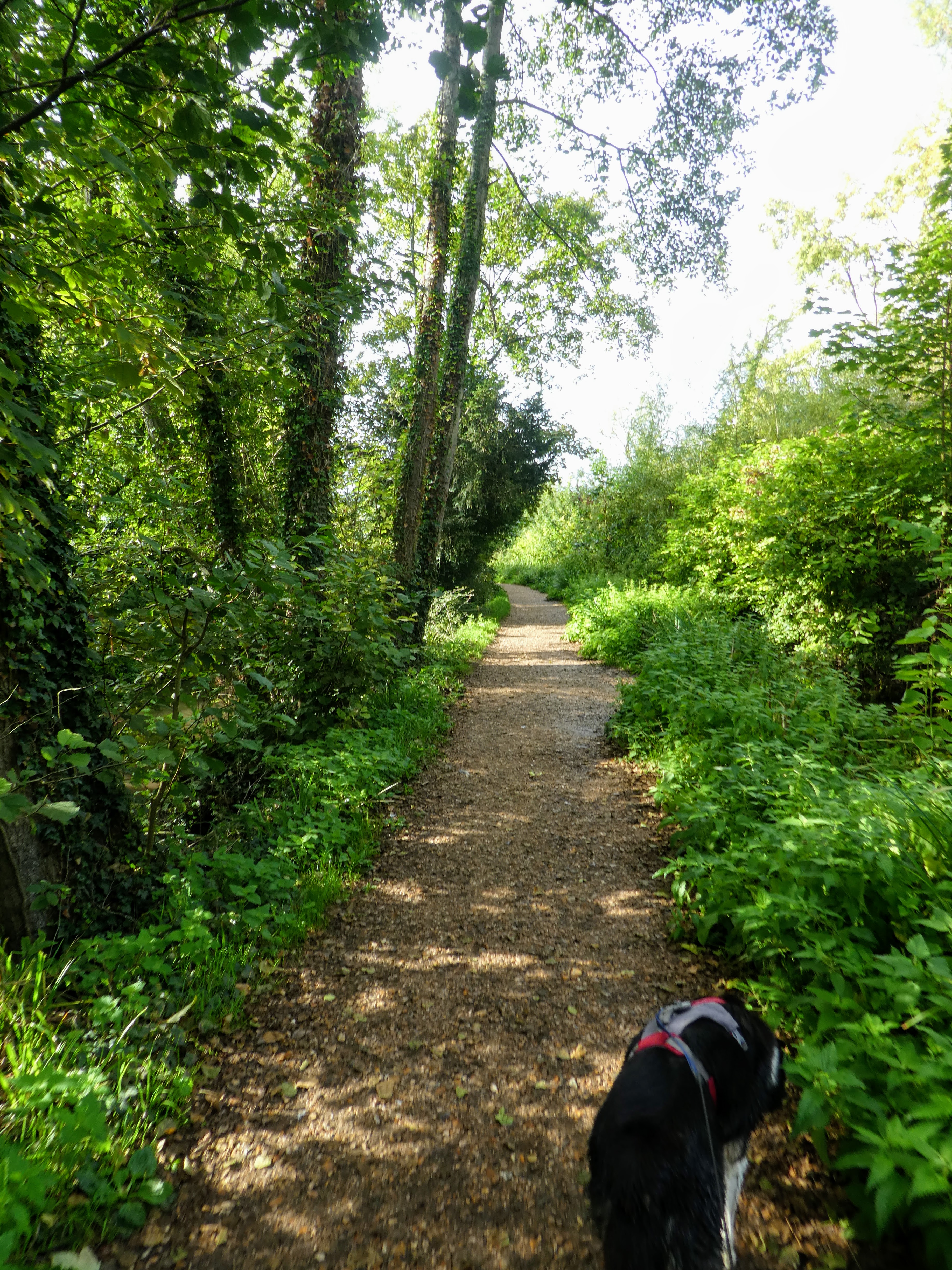
Drop down beyond the golf course to cross a byway before climbing again in a
tree covered green tunnel.
Looking over the rolling hills next to a horse trail around a large field.
Beyond the horse field we picked up a stone track that circumvented a square
field
Passing a war memorial, before dropping down to a back road. We turned onto this
road heading back towards the car park.
Straight across the crossroads at Morestead climbing the lane up to Hydes
cottages, where the tarmac ended and we continued on a stone track climbing
uphill gradually.
The track continued climbing, eventually coming out at a huge harvested field.
On the skyline we could see the woods of Cheesfoot head, if not the car park.
the slope got gentler as we approached the hedge we had arrived at in the morning, before returning over the field to the A272
A last look over the bowl and back up the car park to the van.