There were a couple of sections of the South Downs way that had remained
on the drawing board. I had planned a figure of 8 trail from Cheriton, through
the battlefield and past Hinton Ampner house, down the Wayfarer's Way to
Kilmiston. From there down a back road to meet up with the SDW at Lomer farm -
this was the furthest we had reached earlier in the year. Along the SDW,
across the A272 and over Gander down, before turning up Temple valley back to
the A272 at Cheesefoot Head. From here crossing over the A272 and through the
ridges and valleys to meet a back road. Using this back road to go back to the
A272, crossing it and following the bridleway back to Cheriton.
We parked in the village close to the war memorial, beside the green with a
small stream running through it. We left past the infant school and down a tight
twitten.
The twitten morphed into a track between hedges, climbing up to the ridge of the
battle fame.
Along the green lane of upper Lamborough Lane, before turning down an initially
stoney, then paved track to the A272.
Across the A272 and up the back road to the hamlet of Hinton Ampner, and the
back entrance to the big house.
The path followed the edge of the gardens - we had wandered around here on a
previous visit. The house was was shrouded in scaffolding where it was being
renovated.
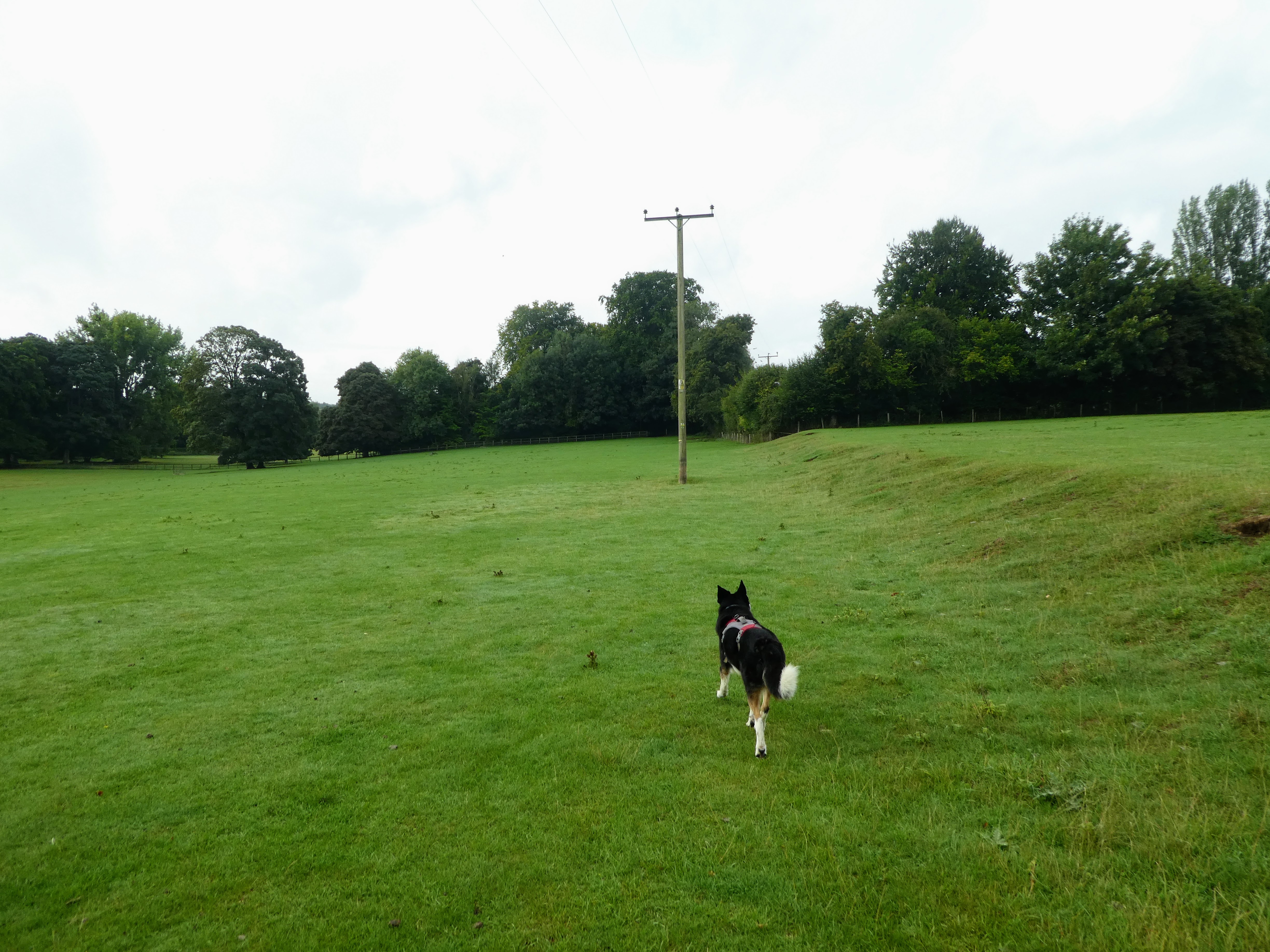
Beyond the house we crossed the open fields and climbed up to Kilmeston manor
Across a field behind the Manor, along the remains of a haw-haw
The next field led to a short wooded area, coming out on a back road the south
side of the village.
We turned to the village green and down the back road heading south - we could
have taken the Wayfarer's walk, but this would have involved turning the wrong
way onto the SDW and then doing a u turn once we had met our last
point.
A section along the back road climbing gradually up to College Down farm
campsite. Continuing along the back road to a junction of tracks. Luckily there
was extremely little traffic.
Picking up a track beside a house - stile with no dog gate, and then into a
horse field (again with no dog gate). The path came out into an arable field at
the top of the slope.
Across another back road we started down the drive to Lomer farm. Looking over
to the hedge that bounded the SDW
Negotiating the farm buildings as the SDW snaked through them, and out along a
farm track that the SDW followed.
The SDW merged onto the back road after going through a small wooded area.
Looking out across the back road with views north to Cheriton.
The SDW paralleled the road for a while, then on the road, before turning down
beside a pub
The SDW followed a tarmacked lane beside some houses, dropping slightly up to a
point where the lane turned off right.
The SDW continued in the northerly direction - now on a stoney track. We started
to meet people going the other way with large packs - presumably starting the
SDW from Winchester.
We passed through Holden farm and its café before crossing the A272. Up a track
on the other side and then a zigzag around a pasture field.
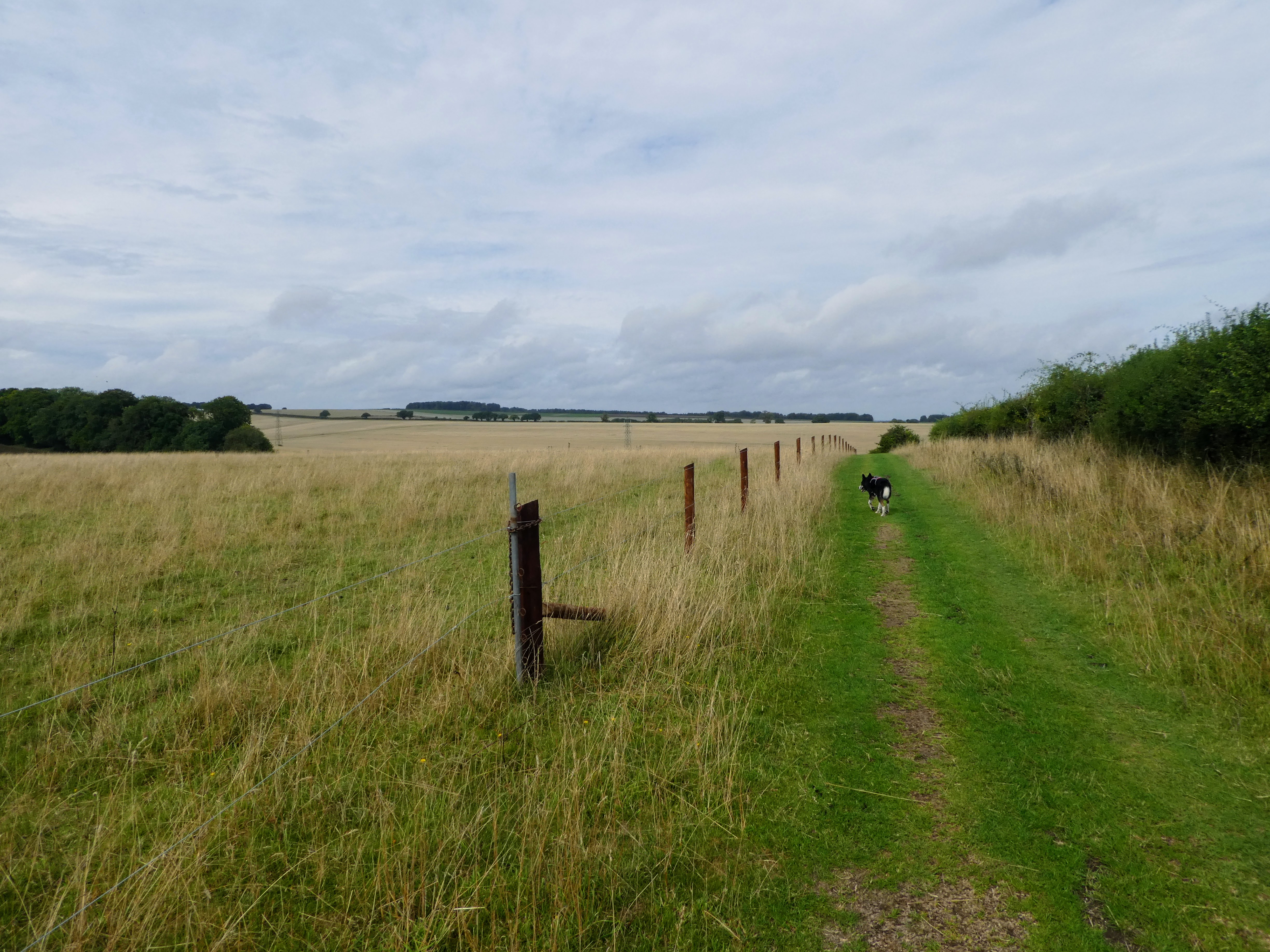
Along the other side of the field, looking across the rolling ridges following a
green track/ lane.
Over the top of the first ridge we crossed the back road (and a hidden carpark),
then continuing up the other side.
Over the top of this second ridge we caught sight of the "Tank Driving
Experience" fields, and the track became more stoney.
At a cross roads of tracks we turned left and followed a track up Temple valley.
The fields showed signs of being the camping and car parks for the festival
below.
We followed the track as it contoured around the valley below where the festival
was clearing up.
We left the SDW as it passed the car park at Cheesefoot head, and crossed over
the A272 and set off back to Cheriton completing the two curves of the 8 - down
the Allan King way
Views south from Cheesefoot Head.
We left Allan King way after a short distance to turn East on a track that
turned south again alongside a plantation, after dropping a few meters
Continuing around the wood and dropping down to a shelter. the map showed the
path going around the back of it but in reality it had changed to in front.
Up the next slope and looking across to the following one.
up the next one and around the side of a plantation to the hedge on the
skyline.
The hedge gave access to a back road which we followed back up to the A272,
luckily we could escape into the field next door as there was quite heavy
traffic.
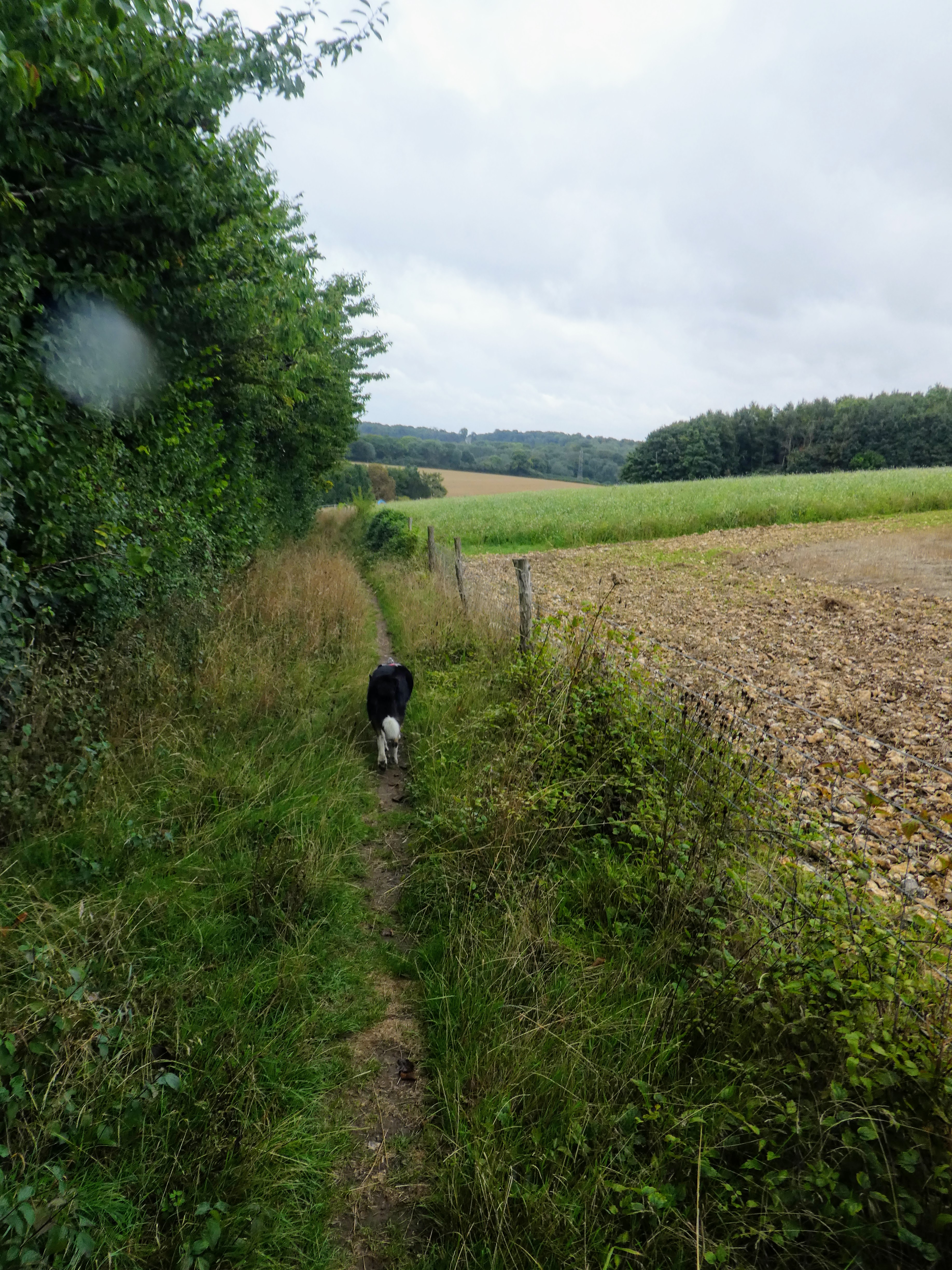
Down the A272 for a short distance until we could pick up a path into the scrub.
the track was heavily overgrown adn it was better once we could escape into the
field beside it.
The end of the field met the point where we had crossed on the SDW, and we
followed it to the sharp turn before taking the path through the woods and into
a hose field.
The track then followed along the side of a huge maize field, over the top of a
slight rise and down the other side. On the other side the path became a green
lane
The lane merged into a tarmacked track as we passed Westfield farm and once this
became more of a road at some large houses we cut over a field to walk parallel
to the road, and beside the rec ground.
Close tot eh village we cut across the local dog walking field to the church yard, and out the other side.
This came out at the other side of the village green to the van, and Bertie took the opportunity to clean off in the chalk stream.