I had to go over to Uckfield to register the final reading on forge rise as
today was completion day, and so planned a short day on the hills beside
Lewis. Parking in the village of Glynde, heading up to the iron age fort on
mount Caburn, down and around the nature reserve to Lewis golf course. A
fiddle to get around the end of the golf course then a rising traverse across
the golf course to regain the ridge near Cliffe Hill. Follow the ridge around
heading back towards the fort, then descending to Glynde Place to return
through the village to the car park.
We braved the road closed signs and avoided the diversion to get to the village
car park. Luckily they were working on the river and railway bridges, but the
entrance to the car park was open. We parked up looking up to the mount Caburn
looking down on us.
Back up through the village to the post office, turning down Ranscombe Lane.
Just past the houses opposite the shop turn up through a gate.
Through the gate and climb up the pasture, another gate opens up to a slope
rising to the ridge ahead.
The final slopes to the ridge with the mount to the left, rising on the
skyline.
The climb up to the fort, through the ramparts.
The views east around to Newhaven, then from Newhaven following the South Downs
around Lewis.
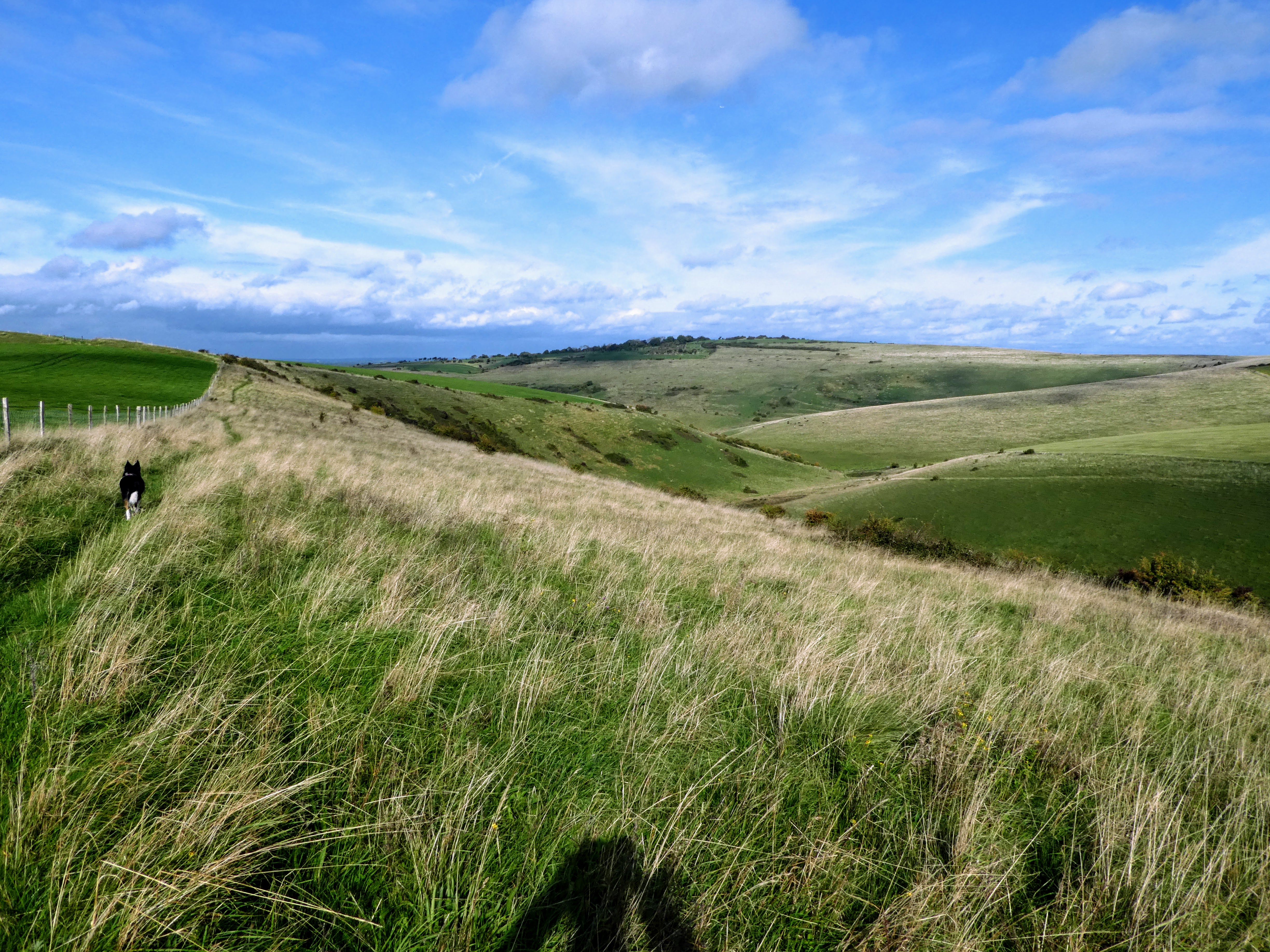
Looking down to Glynde village on the far side of the river, and looking north
down to the deep valley and the golf course opposite.
We picked up a path that contoured around the top of the valley edge, dropping
down the ridge to the valley bottom at the end.
Down in the valley looking across at the slope up to the golf course, passing a
dew pond. We climbed a rising traverse on the slope opposite.
the rising traverse to the skyline - we discovered this was the southerham
nature area.
Over the top of the ridge and a slight descent to the golf course club hut.
Beyond the club house we dropped down the access road, with views over the cliff
edge to the river Ouse below.
Still dropping down the driveway, looking over Lewis town, and more views over
the cliffs below.
On the outskirts of the town we turned sharply right and climbed up a series of
steps to get back to the golf course ... all this to avoid having people
walking down the side of the first hole - there were numerous signs to chase
people away!
A diagonal path across all the fairways climbing gently to the skyline through
several false summits.
The farthest corner of the golf course below Cliffe Hill, and then back into the
reserve, looking over to Saxon Down.
The ridge flowed over to Saxon Down, skirting the copse on the skyline.
Dropping down to the Dew pond, before a sharp right turn and back up the chalk
track past a small quarry. We could have cut the corner off, but Bertie would
have missed the swim.
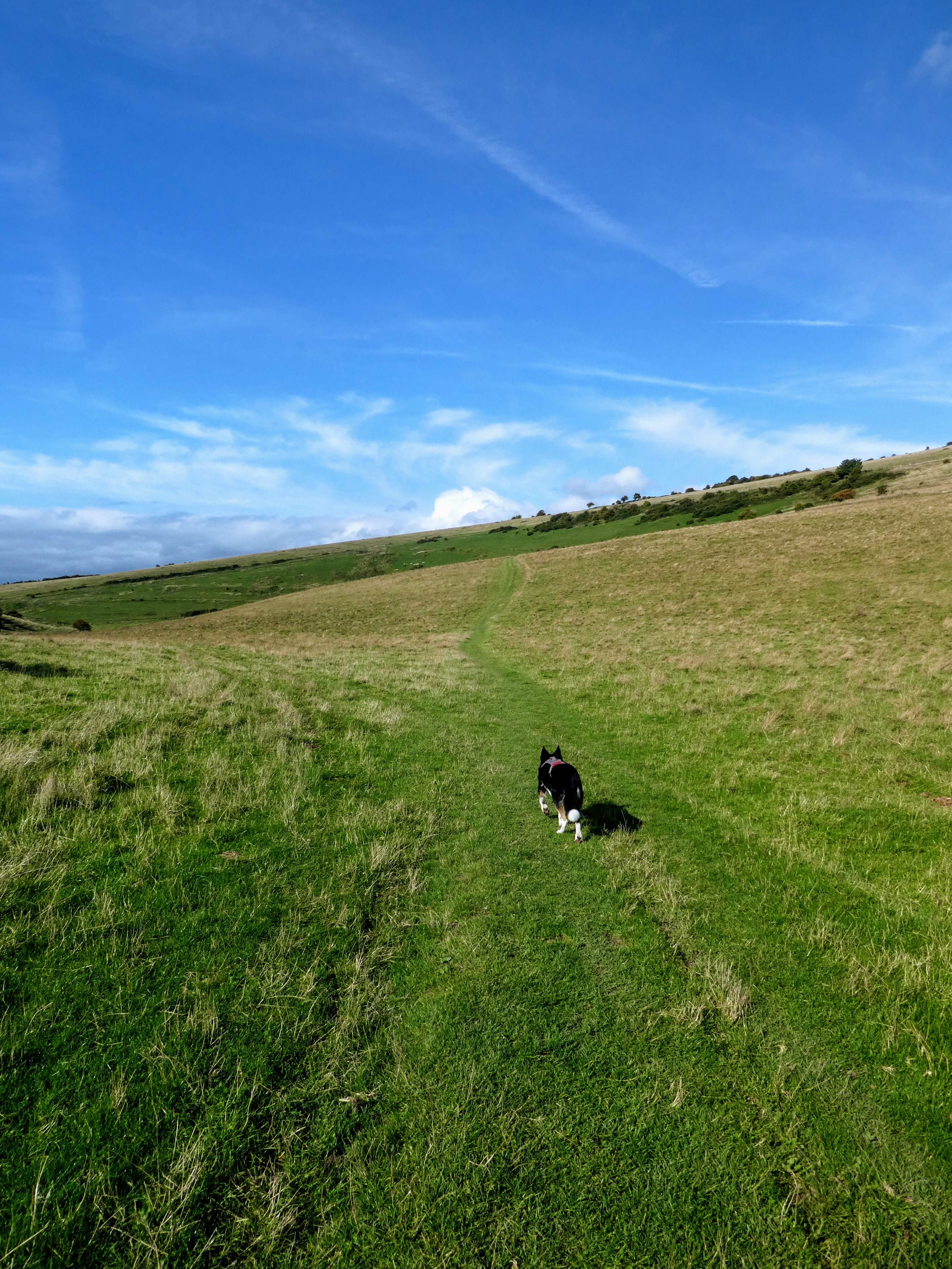
Now heading along the ridge towards the fort once more on open grazing with
occasional fencing.
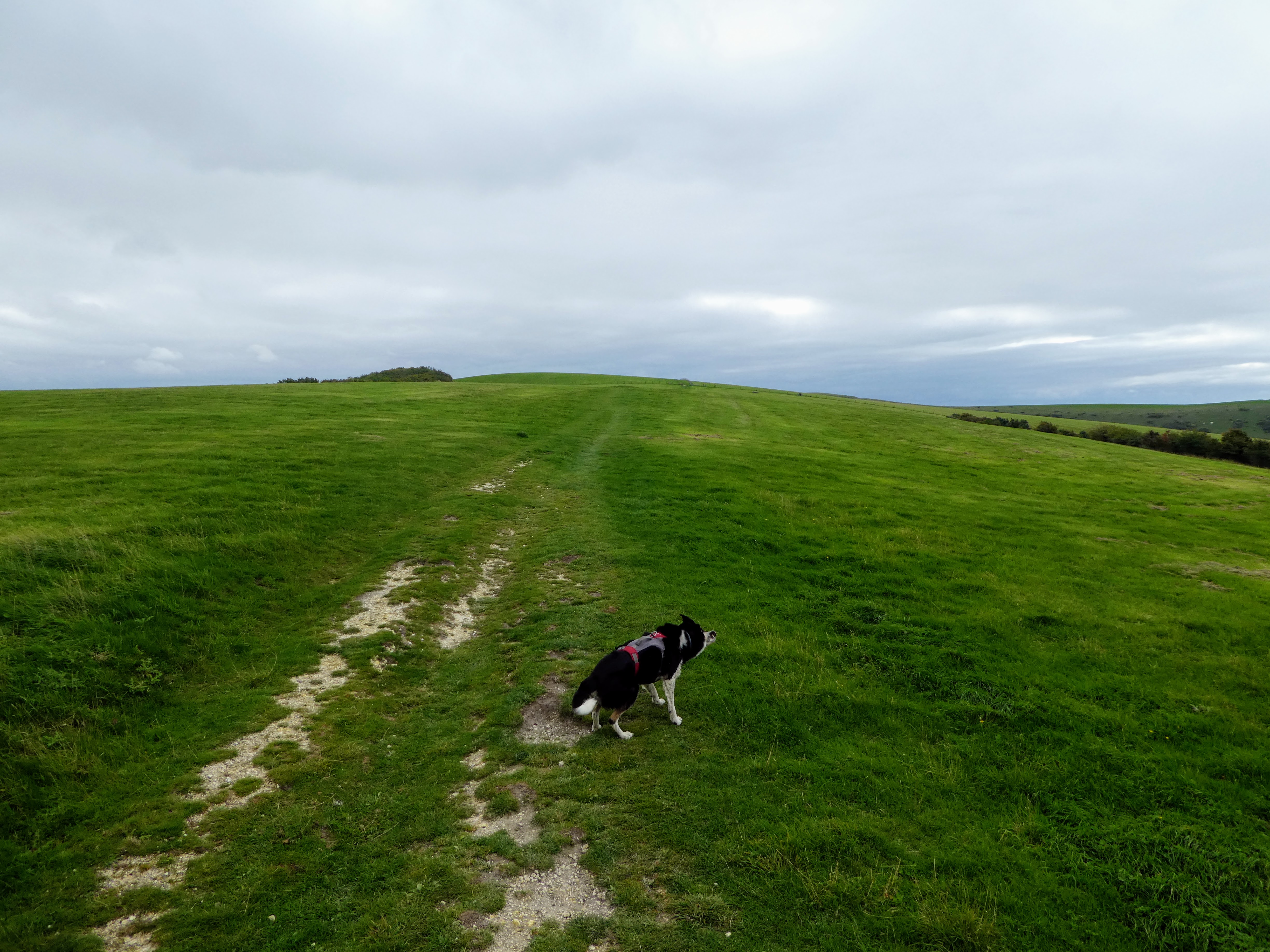
At a point slightly before where we had initially climbed to we turned left and
started to drop down - at first not really marked, but soon picked up a sunken
track.
Looking down to the village as we descended the sunken track - now chalky, and
more sunken.
At the bottom of the slope the lane turned green across the fields, and some
final views across to the south downs. This ended up (after a zigzag) on the
road into the village.
Descending through the village past Glynde place, and the village church.
The final section repeated through the village to the car park.