It has been a while since I was in the north Downs, and I had charted a route that took in a section of the North Downs Way (NDW) then returned via the Greensand Way (GW). The original plan was to park at the Tilburstow hill car park just south of Godstone, and so Bertie and I set out early to get around Horsham and Crawley before school run, however we got held up by a double set of three way traffic lights in Blindley Heath. Sue had left a message on the phone as we approached the car park, only to find a barrier at 1.90m .... 5cm too low for the van. We pulled over to plan where to go next and discover the problem at home. Plan B was to go north to a car park on the North Downs at Gangers hill - we found out later it was part of Marden Park estate, however we also had to cover off not being late home in case Sue needed a lift after problems with her car.
We had a convoluted way to get to the car park, involving some very narrow lanes with few passing places, however once there there was no barrier and plenty of spaces.
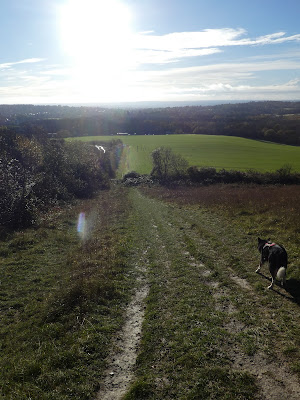
Over half an hour later than I wanted we set off across the approach road and dropped down a set of stairs to the NDW, which was below the ridge on the south side.The NDW traverses the slope across with views south over the scrub, including the trainline coming out of a tunnel underneath us.
The scrub cleared slightly and opened down to the fields below. Just beside a quarry we turned down the slope and around the field at the bottom, effectively around the quarry edge.
Up the other side of the Quarry - a steep climb up a grassy bank, and then continued along the traverse line
North of Oxted we turned down a bridle path heading down to the M25, and across the footbridge there.
The south side of the M25 was flat grass fields up to the impressive fence around the school, where we followed the edge into the suburbs.
Negotiating the tangle of roads through Oxted could have been easier if I had researched it better rather than relying on the bridle way marked on the map! We ended up having to divert to get around the railway line. However in hindsight it would have been better to go around through Limpsfield to ick up the GW there.
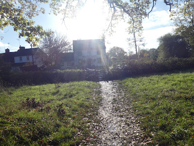
Across the A25 and we picked up a bridleway once again that took us to Oxted Mill - now a redeveloped building looking out over the pond and leete.
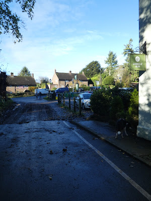
We picked up the GW at the mill and followed it across the fields to the Haycutter pub and across a large green. From here the GW followed a wide track up to and past the large house of Oxted Place.
The wide track took us past a hill top that looked like an iron age structure and continued along with occasional views south over the weald.
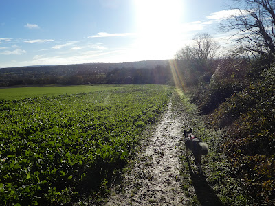
The track came out beside the Barley Mow pub, where we crossed the road and continued into the rolling fields beyond.
We left the fields where we crossed the A22 and followed a fenced in track through the houses around Leigh Place ponds before climbing up towards Tilburstowhill common.
The GW curves around the common above the large Orme house, before continuing along the field border below the ridge of Tilburstow Hill (below the car park we tried initially).
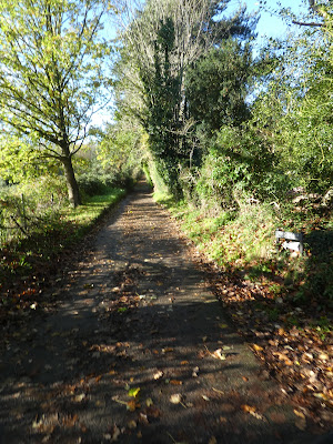
The GW continued in the same vein westward, edging the fields and the beech woods, passing occasional houses. Sometimes in the trees and sometimes on the boundary of the fields that at least allowed a view south.
Approaching Bletchingley we climbed up beside an old sand quarry, coming out beside Hevers Pond. From here we left the GW and headed north into the centre of the village.
Once more crossing the A25 and diverting through the churchyard to pick up a path across the back of the gardens beyond.
The fields gave way to a working sand quarry, which we walked around in a series of knights moves crossing several conveyors on the way.
Beyond the quarry the path continued in its zigzag way over reclaimed land, up to an underpass below the M25.
The other side crossed the fields, climbing gently to a backroad.
A small path led straight up the slope beyond the back road. Bertie took great joy in teasing me here by charging up the slope then looking back at me to hurry up before charging off again!.
The slope continued climbing after the initial steep sections and came out opposite whitehill tower - a ruin of Victorian heritage.
A view across the quarry towards the greensand ridge beyond. Then down a back road towards the antennas on the hill beyond. The road turned away and we continued on a wide track in the trees.
The track continued traversing the south side below the ridge, until it came out at a viewpoint and sparse parking.
Back into the beech woods as we curved around Pilgrim fort (not visible) and around to look across the A22 to the fields of Marden estate beyond.
We had to curve around up the valley to cross the A22 on a foot bridge, then back south on the other side. A bit of shuffling to to get around some industrial units then climbing the side of Winders Hill.
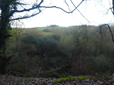
The track continued traversing in the trees, with a brief clear area and sights south over Godstone.
Back in the woods, traversing through hanging wood then up gangers Hill beside the road.
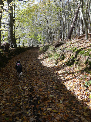
Continuing along beside the road once it reached the ridgeline, then to avoid dropping down and a final climb we crossed over into Marden park and followed a woodland trust track that circled back to the van.


