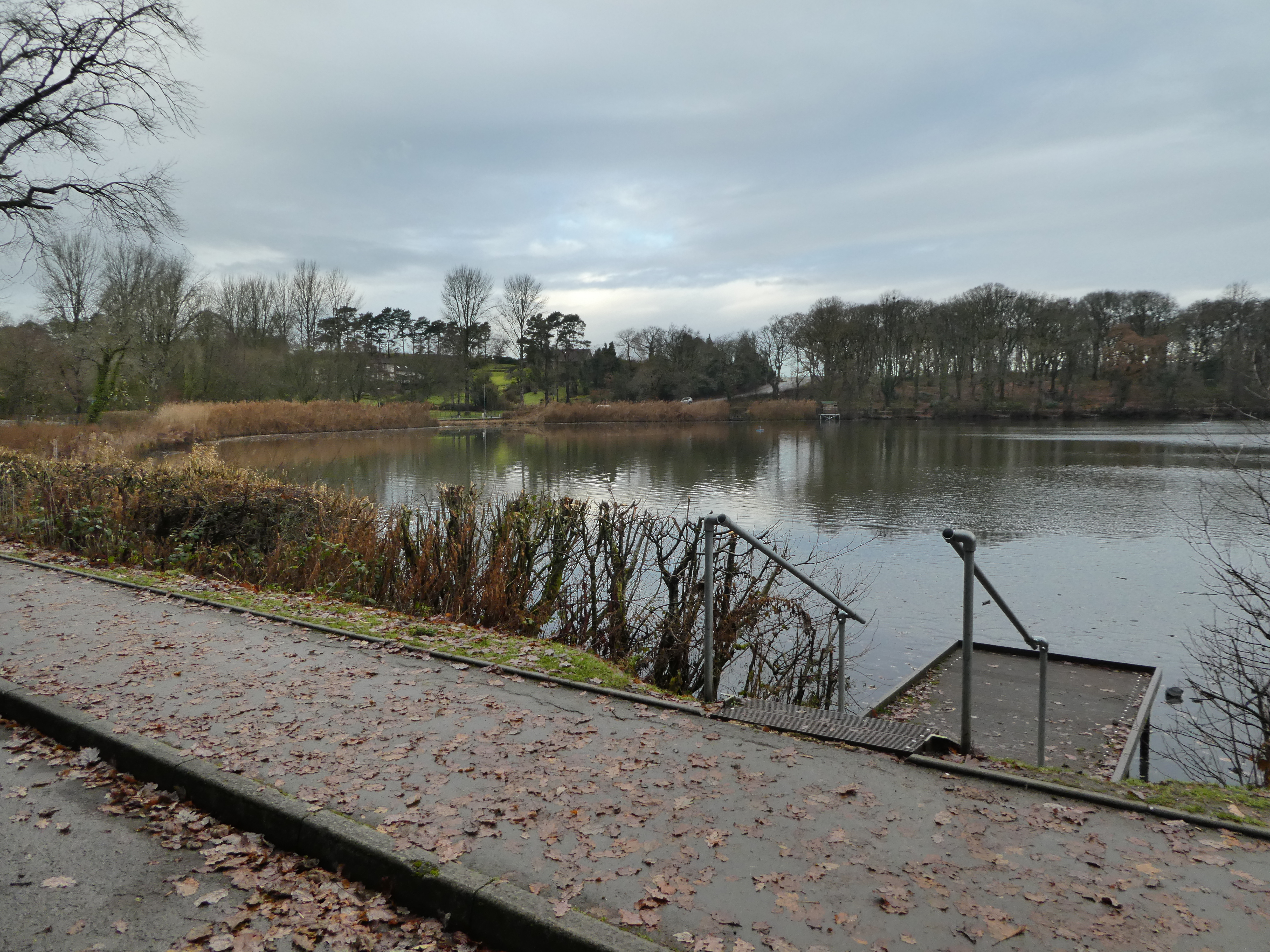
Sue and Steph were going to Builth Wells for a browse around, so Bertie
and I chose to go to Llandrindod Wells and walk down to them and get a lift
back, follow one of several routes I had read in local guides. We drove over,
taking the Disserth road, so we could approach Llandod from the south, and
easy access to the one way road around the lake. As I had left my mas behind,
I downloaded the track to OS mapping and planned to use my phone as a guide.
We parked beside the lake, after a long queue for roadworks on the approach, but
going a different way would have also been delayed as the works were at the
junction. We left and headed along the road to the path up through the woods, as
this would bring us to the OS track.
We walked up the track into the woods, climbing the steps, which came to a
junction, where we took the indicated track. However since the map had been
surveyed the track had changed and we ended up dropping down to the end of the
lake (only a 100m from where we had started).
Not really a problem as we turned up the road and followed it to the old parish
church, with an exceptionally well kept graveyard.
The path went through the end of the graveyard, and into a field with a mowed
path around the edge. Opposite looked like a gate in the correct place, and so
we headed around. However the gate was locked and a big sign saying "private".
We continued around the field back to the start and went to the first corner -
the correct path was on the other side of the hedge from there!
We followed the track over the hedge down towards a large barn, before angling
across the slope. The path was easy to pick out here with small footpath gates,
however over the side of the hill, where it presumably changed farms, things got
more complex and we had to guess across a heather field.
The gates were replaced by stiles, which Bertie had to be helped over, including
one with large stones. The published route diverted around the roads from here,
however the map showed a path cutting through to where we should be so I chose
to follow this on. the map showed a path going to the farm at Brynhir, and one
going from there to the farm at Dolfawr. Unfortunately there was a missing piece
through the farmyard... so discussing with the farmer we diverted up the
track to take the next path and follow a farm track back.
We backtracked to the lane and followed it uphill for a while before taking the
next path.. through a field and down to a brook. The brook was flooded and
I could just imaging the farmer laughing about me trying to cross, however a
broken fence came to my rescue.
We came out on the track - much better than most of the paths so far today, and
followed this relatively straight all the way to Dolfawr farm. There we left
along the driveway having failed to find the path - not a problem as it turned
out, walking down the straight track to the road.
We were now back on the published route and followed it down the back roads past
the Bower, heading to the hills in front. The road was climbing most of the way,
changing surface as we past Maesgwynne farm
The back road turned away sharply, however we continued along a bridleway
which entered the open access area and turned up the hill. We climbed up into
the sun, veering off the path to reach the cairn on the top of this bump.
Looking back to Llandod over our track so far, as well as a zoom into
Newbridge.
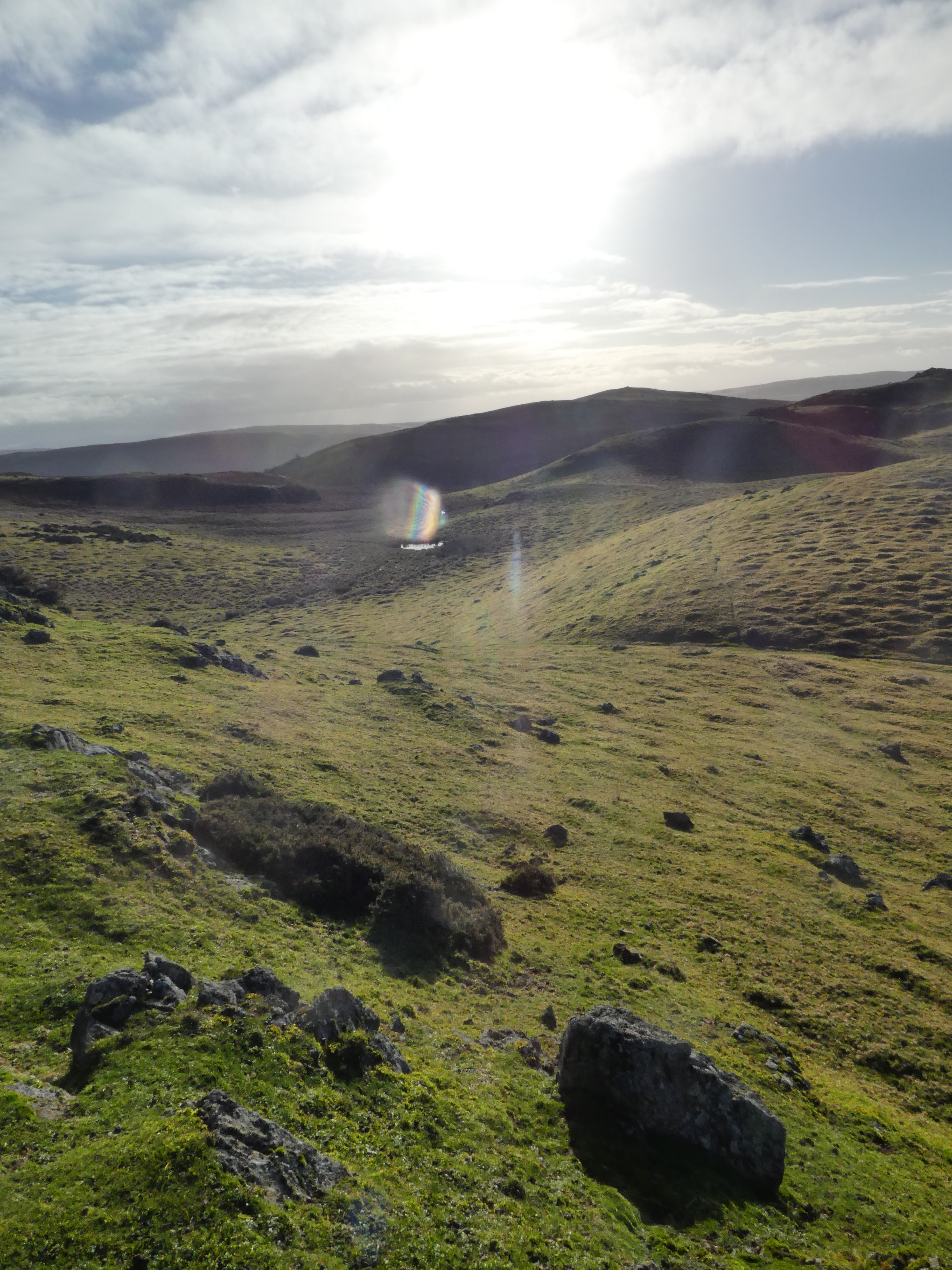
Our route forward would meander through the bumps to the high point on the
skyline, however we had to make our own way over the plateau.
The next summit was across a small valley with lots of dead bracken hiding all
the paths. We had to try and follow sheep paths buried underneath. The climb up
the slope used an excess of energy.
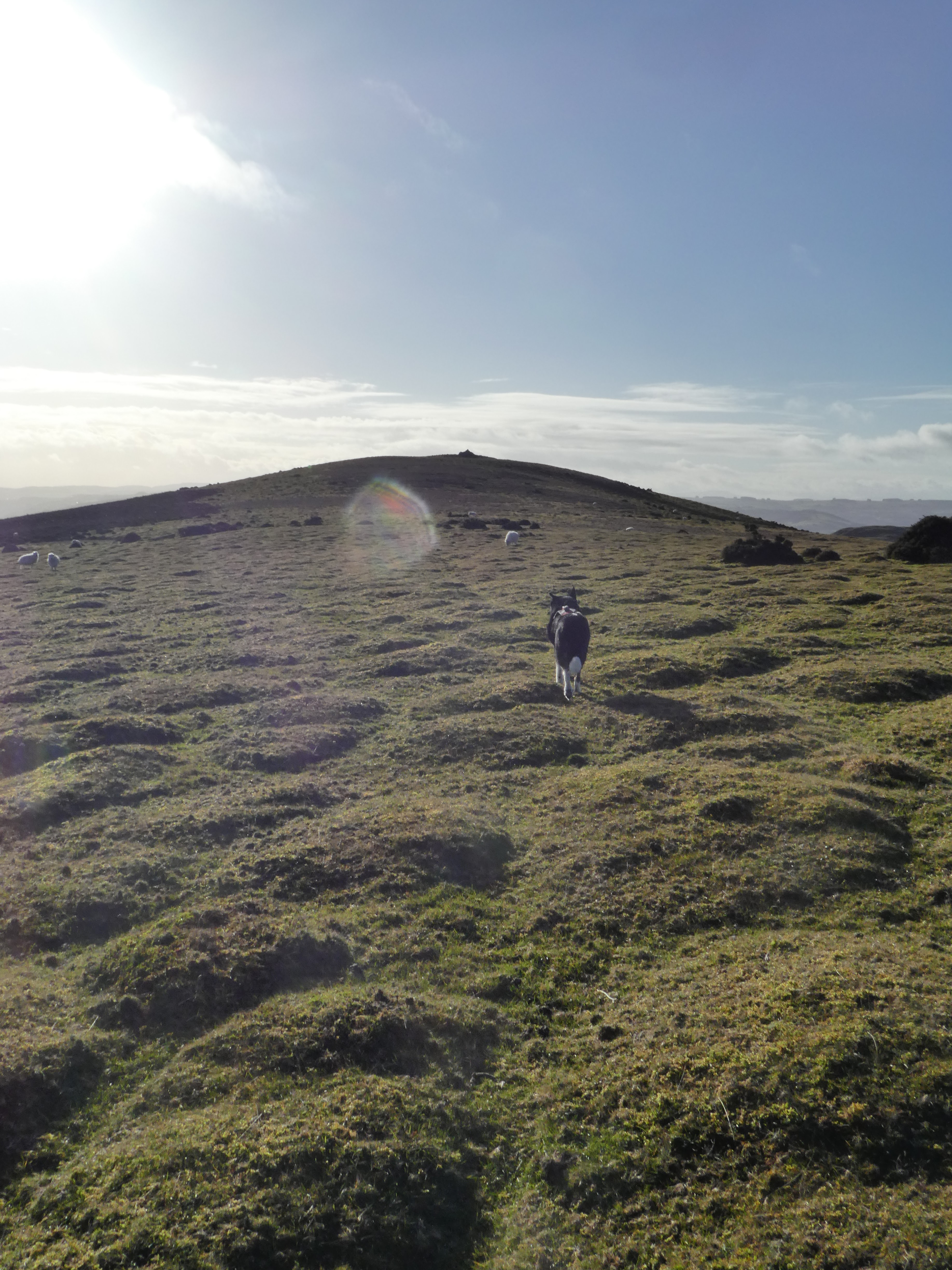
However once on the plateau we were back on the grass and walking over to the
cairn on the top.
Looking south from the cairn into the sun.
Looking back along the plateau from the cairn, before heading down the south
slope - the river wye shining in the sunlight.
Some more of the bracken where we partially stayed on the ridge then dropped down to a bridlepath where we contoured around another bump. Looking back to see the bracken laden descent.
Continuing to contour around the next bump still on the bridlepath
On the end of the hillock, we left the open access area and crossed several fields with sheep to a farm, before following the drive back down to the valley passing a stone circle off to one side.
The drive also served as one of the access tracks to the quarry that covered the end of the hill above Builth. This quarry had several sites on the way and more around the corner.
Down on the valley floor we dropped through an industrial site to pick up the national cycleway that followed the river into Builth
However on the edge of the town they were maintaining the cycleway and we had to divert along the road. Pausing for a bacon roll outside Rob's - the smell was just too much to bypass, and then teh final steps into the car park on the the other side of the river using the main road bridge. We then waited for the others to come over, having coffee and lunch.
A lift back to Llandod, where we jumped out of the car and walked up the road to the lake, and around the end to get back to the van.