A return visit to Bignor Hill car park was on the table for today, The idea
was to park on the hill top and then walk back down to Bignor village, and
across the bottom of the ridge to West Burton, Bury then Amberley. From
Amberley up the hill to Whiteways, and on to Madehurst. A long wide curve
around Dale Park, before returning to the car park along the direct bridleway.
A tortuous route to get to Bignor because of the landslip at Pulborough,
followed by the drive up the single track leading up to the Bignor Hill Car
Park. Leaving the car park and climbing up Bignor Hill along the SDW.Over the top of the hill looking west along the South Downs in the early morning haze. Toby's Stone marked the beginning of the descent down the other side.
At the bottom of the valley we turned back on ourselves through Egg Bottom Coppice.
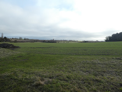
This led back to the access road at one of the steep sections, and we followed it down to the village of Bignor, and views along the base of the downs.
Walking below the roman villa complex, before crossing into the fields towards a footbridge in the corner. We were now following the West Sussex Literary Trail.
Alongside the next field and into the village of West Burton. Here we did a knights move around the village road
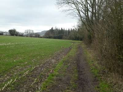
Near Cookes House we continued east down a little fenced off trail down to the stream.
Beyond the stream we climbed a slight bank and followed it towards the village of Bury. Across the A29 and down through some houses.
Out the other side of the village we were back into fields before we arrived at the church.
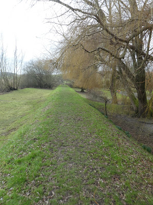
At the village slipway we crossed to the edge of the river Arun, luckily the path was on a raised bank, which had kept it drier than the rest.
We followed the river down to Houghton Bridge near Amberley rail station.
At the bridge we crossed over to the other side and continued along the river until we climbed to Houghton Farm, ten followed the road up past the George and Dragon pub
Picking up the Monarch's Way we climbed parallel to the B2139 following an ancient trackway, until it opened into a field.
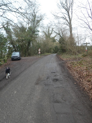
We re-crossed the A29 to Whiteways car park, and a brief stop at the shack for a mid walk bacon bap, then on through the open area to the Madehurst back road.
From the road we dropped through the woods back towards the A29, then parallel to it
A step back towards Madehurst when the track ended climbing through the vines and down to New Barn Farm.
Along a long grassy swathe heading back towards the A29, As it approached we curved parallel and climbed slightly, still in grassy fields.
We were circling around the edge of Dale Park ending up at Chichester Lodge. At the lodge we had to look around for the bridleway which was hidden to the right of the track.
Through Baycombe Wood to come out at a clearing where the grassy swathe led all the way up to the downs ridge.
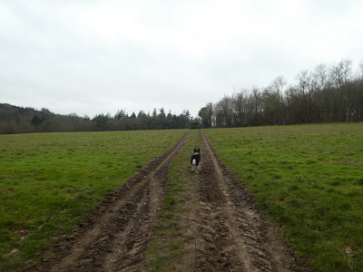
This "bridle road" headed straight up towards the Bignor Hill carp park. It went through three grass fields which could have been the track of a roman road.
At the woods closer to the ridge the straight line ended and we had to divert around through the open access woods to the side of Great Bottom. Then back along the top of the ridge.
The final slope up to the ridge and the car park.


