Bright sunny day, with just a hint of overnight frost, and with rain predicted
for tomorrow made it a logical choice to go for a walk. I had picked out a
route on the north Downs starting at the car park on Box hill dropping down to
Dorking railway station then following the Mole Gap trail up to Leatherhead,
then added a return up over Mickleham down and up Box hill.
Driving up to Dorking proved a little difficult as there were works on the A24
causing large tail backs, so i chose to go through teh central one-way system,
which seemed to be equally as jammed up, however once through we drove up the
zigzag route to teh NT car park on the top of Box hill (Ignoring all the road
closed signs as this only effected past the car park).
pausing at the view point before dropping down the stepping stones route for a
short bit.
A descending traverse away from Dorking, before meeting Boxhill road and under
the east/ west rail line.
The river meadows looking towards Dorking and also back up to the top of Box
Hill.
Over the river Mole at a weir and leete system (presumably for an old mill at
one tile), then into the paths through the housing estates on the outskirts of
Dorking.
At an old school building we turned to go past playing fields and under the
railway lines (East/ West and North/ South) at the point they crossed. Then a
footpath beside the A24 until we could take a side road up to the edge of
Denbies wine estate.
Looking across the estate to the hills of Norbury estate beyond, where we were
headed. Meanwhile we had to follow the edge of the estate to reach the Mole Gap
Trail where it escapes from the Dorking conurbation.
On the MGT and crossing the wine estate through the vines. Past a single oak
tree with views up to Box Hill.
In the middle of the wine estate we followed the MGT signs that did not agree
with teh map and we had to get back on trail down the North Downs way. Then
continued on the MGT into Westhumble.
Back down to the railway line and into the flood meadows beside it. Then over
teh river Mole once again on a footbridge below the railway bridge.
Across a muddy ploughed field to Cowslip farm (luckily the mud was dry enough to
stay on top of it!).
A zigzag around the farms and we arrived at Norbury park, with its huge house
standing out on the hillside. Once inside the park we lost the views in the
woods
The edge of the park looking over towards the Priory, before following a lane
back into teh park.
Around the Icehouse combe and back into the flood meadows of the river Mole. At
the end of the meadow there is a car park hiding in the trees.
Bertie dropped into the river for a swim just before we went under the A246
bridge, then into teh meadows beyond.
Working around Fetcham Grove (seems to be a private hospital)and over the B2450
into the suburbs of Leatherhead.
We wriggled through the streets and back entries until they mutated into a
footpath heading down to the A24.
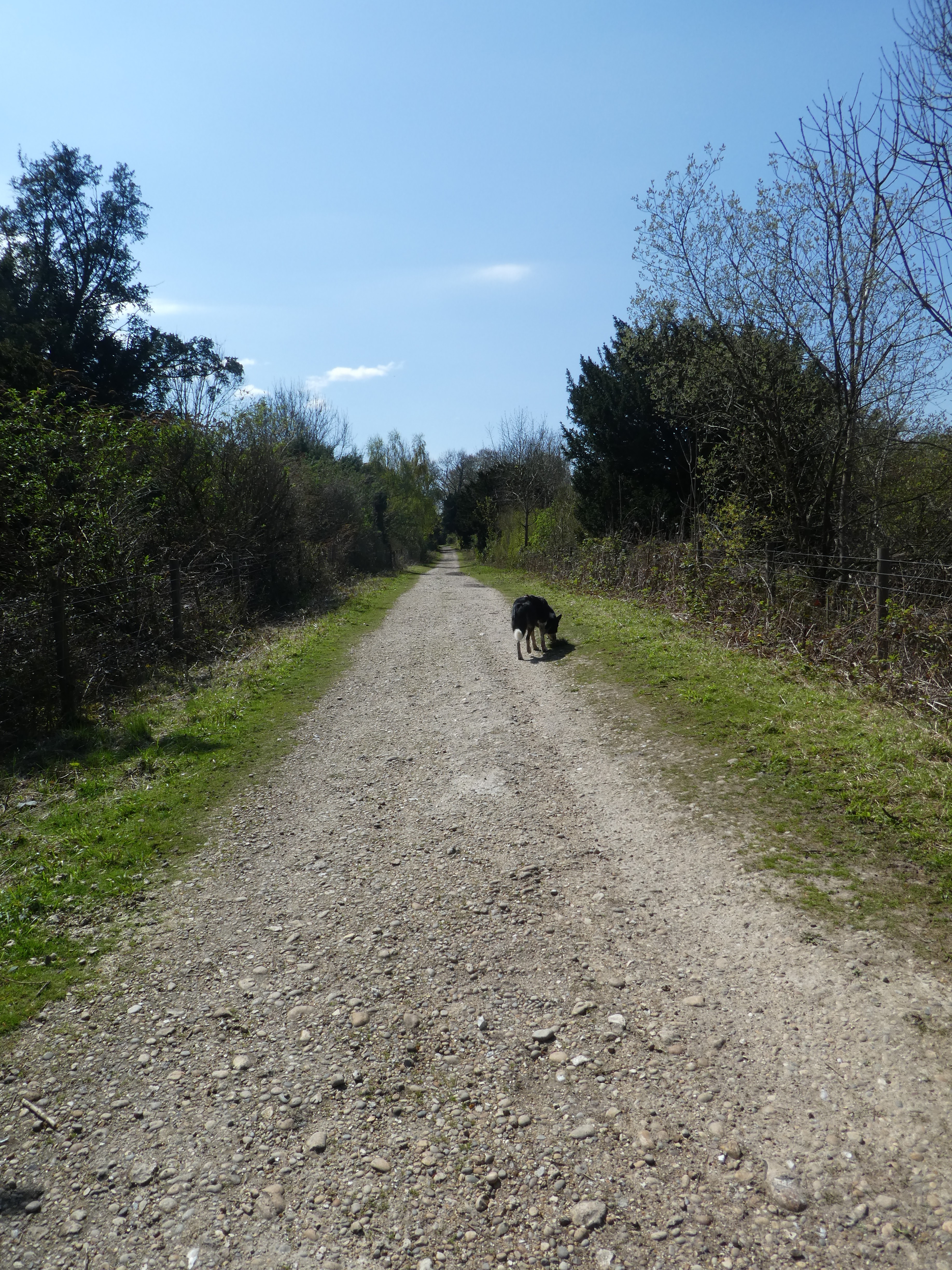
Across the busy road and picking up a very straight bridleway through a huge
golf course (I think it is Tyrrell's Wood) on both sides behind hedges. At the
end of the golf course we passed a lodge with a number of smart caddies hanging
around outside.
A sharp turn onto a byway (TD Link) but also part of Stane street we headed up
Mickleham down climbing gradually. A slight diversion off the straight track
allowed us to pass the trig point (hidden in the scrub at the side).
Back on Stane street and we dropped down (with a slight curve at the end) to the
B2209, which we followed past Juniper hall - an old house dated from the French
revolution.
At the junction for the zigzag road (we had driven up to the car park), we took
teh path following the ridge climbing up to teh skyline above.
Looking back down over the wine estate and the outward route we had followed.
Top of the ridge where it narrows and up past the ruined fort to the
memorial.
Back around to teh Visitors centre hoping for an ice-cream, however they only had the indoor café so we gave up and returned to the van for lunch.