With rain forecast for the rest of the week it was opportune to get out again
today. After dropping Sue off at Brinsbury, Bertie and I headed down to Firle,
where the aim was to walk along the ridge to the beacon, then turn down to the
coast, along the beach and then back up to the ridge at the Radio aerials and
back to the car along the ridge.
The car park has recently installed payment machines, so we had to guess our
stay, while looking down to the port of Newhaven.
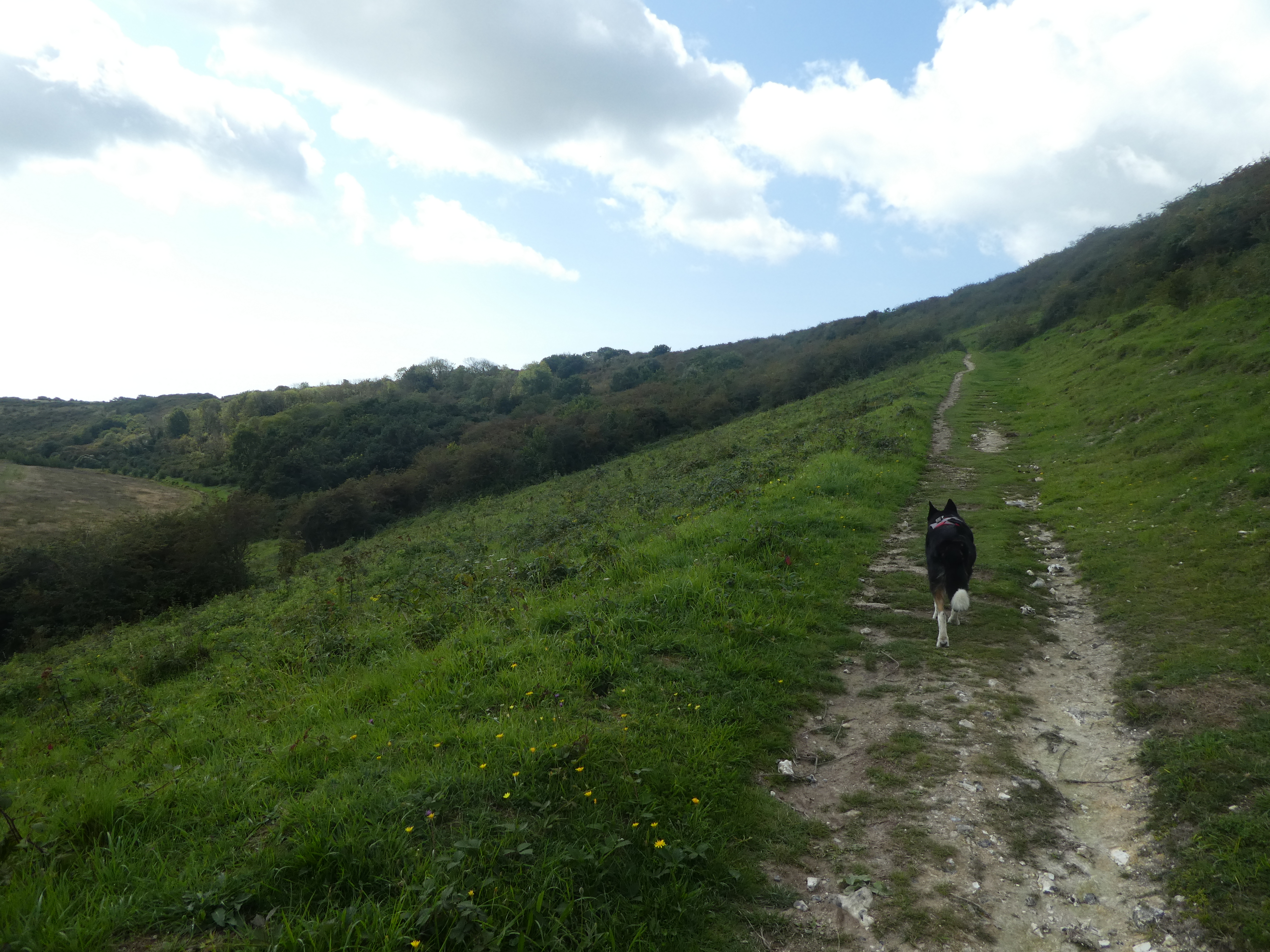
Off up the SDW to the first bump on the ridge.
Continuing up to the Beacon - in this case a rolling top, with great views
down to Newhaven.

Looking north and inland, as well as south to the coast.
Down to the second car park - this one did not have payment machines. The
picture is actually looking back down to it as we avoided the sheep on the way
down. Then up the other side to Bostal Hill.
From the hill we turned south following a rolling ridge line
The path followed the ridge line down into Blackstone Bottom, before climbing up
the other side on the obvious path.
Over this second ridge we started down a track before moving over to the edge of
a harvested field.
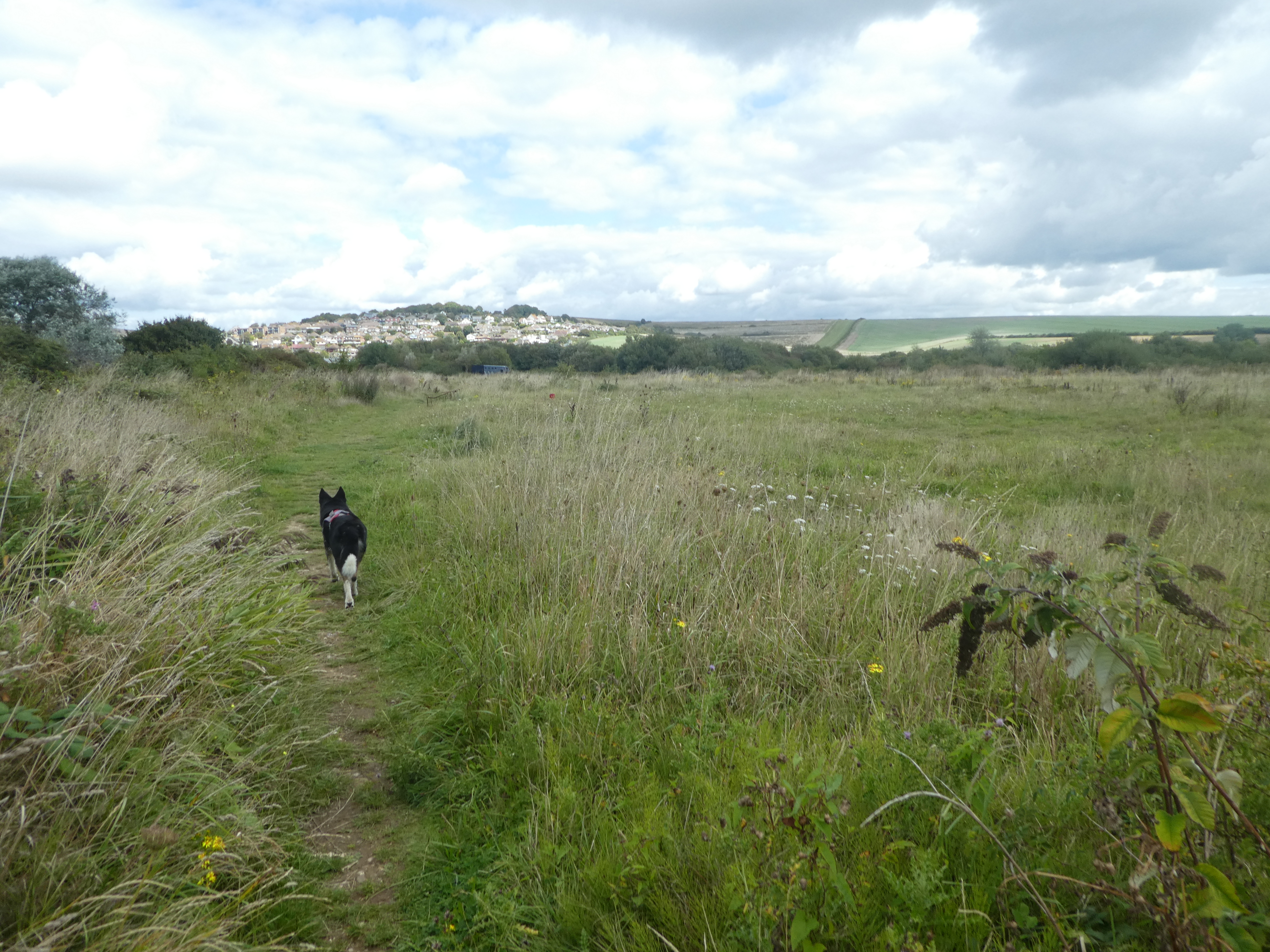
The path left the field and onto a path between high hedges. This path flowed
down a ridge to the village of Bishopstone. Through the village and into the
fields beyond with the sea over the small rise.
A small green lane led down to the coast road. We crossed over and followed the
back road passing a station and down towards the sea.
We cut across the sailing club car park and up the steps to the promenade
turning towards Newhaven. Here was our first encounter with crowds.
TO escape the crowds and also the pebbles on the beach walk we followed the path
marked as the Ouse Valley way as well as Vanguard Way. However it was not very
well used and overgrown. The path led through the Tide Mills (an abandoned
village that used the pond with several mills).
We continued along the Mill creek (not small) and next to the railway on a very
overgrown path. We might have been better off following the coast then cutting
inland later. Over the railway on a footbridge where the routes merged, and down
into an industrial park opposite the east harbour.
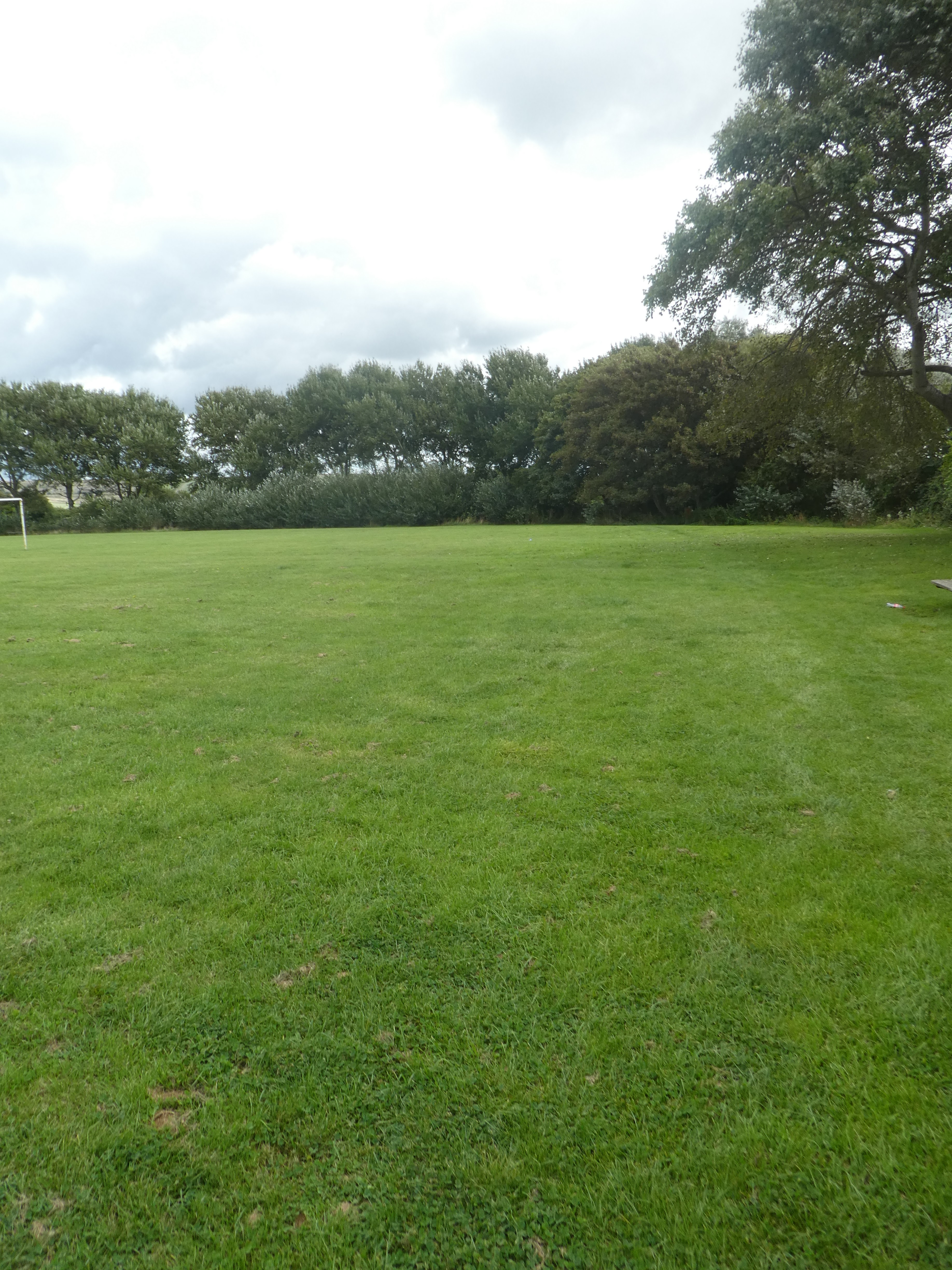
After trying several times to cross the industrial units we eventually made use
of a recreation ground where we crossed over and into the edge of Ouse estuary
nature reserve.
Through the reserve to the main coast road (A259) where we fought our way over.
On the other side the path was piled with detritus but we could get through to
the field beyond.
Up a track between harvested sections to the top of a rise. Here things got
worse and totally overgrown, however we forced our way through the brambles and
nettles to the field beyond a stile.
Over the top of this ridge we crossed into a grazing field and followed the
track down to Norton Farm nestling at the end of a back road.
The backroad mutated into a drive way up to Denton Hill farm, where the track
got rougher and led along Poverty Bottom. The track left and we continued on a
path through the bushes.
Leaving the greenery behind we climbed up Snap Hill across a harvested field and
then onwards to Fore Hill.
The path snaked around on the high ground to the aerials on the skyline through the pasture fields.
At the aerials we re-joined the SDW and dropped down to the car park. The final field was full of cattle all moving slowly downward, and Bertie was very brave walking through them.