Another hot day predicted, so an opportunity to complete the second half of last week's walk along the river Ouse. The idea was to park in the Castle hill local reserve car park (land side of the fort, and up a narrow lane). This car park has a 1.8m height restriction but is in general not very well known, however it allows access to the park behind the fort. We would then follow the cliff edge towards Brighton up to Peacehaven, where We would then turn north through the edge of the town into the fields beyond. Down the other side to meet the river at Piddinghoe, then follow the river back to Newhaven.
We parked in one of the levels, then back out the car park entrance and up the road towards the fort car park - this uses the same approach road.Up at the fort car park - equally empty, but there were several parties picking blackberries.
Dropping down slightly to the fort entrance, then up the rear gully. Dogs are not allowed inside so I will have to return another time.
Across the end to reach the cliff tops and looking out over the harbour entrance.
Climbing up Castle hill marked by the lookout tower for the coastguard service. Around the tower are three gun emplacements dating from WWII
Up at the tower, and looking over towards the harbour heights - a huge static caravan site.
The panorama view form the tower.
A last look back to the harbour and along the coast to Beachy Head, then down and past caravans of Harbour Heights sticking to the cliff top path.
A slight diversion inland across the maca before returning to the cliffs on the next rise. Beyond we got views all along the coast past Brighton and along to Shoreham.
Over the next rise and Peacehaven dominates. We turned north at the edge of the town and cut up to the A259.
Across the busy coast road and into the maze of an estate. Zigzagging through the estate and out into the farmland beyond.
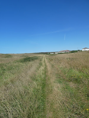
The fields had been recently harvested and with the sun beating down it was quite a furnace as we zigzagged across them working over to a farm drive.
The drive led to Hoddern farm, then continued out the other side. If I had known that this track was paved I would have picked an alternative route.
The panorama looking inland, from Lewis around to the downs the other side of
the river Ouse.
The track was very busy, first we had to give way to a combine and associated tractor/ trailer, then a convoy of 4*4s. We paused for a Bertie drink and to watch the combine start work.
The lane dropped down to the back road at the entrance to Puddinghoe. we then crossed through the village and down to the river just past the quays.
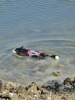
Bertie ran into the river (which was luckily at slack tide) and despite the floating pollution he had to go back for a second and third dip. Then we turned back to the coast along the side of the river.
We stayed on the riverbank as it went between the river and a boating/ leisure lake. Bertie sneaked in at a fishing point for a further dip.
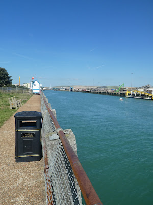
On the river bank and into Newhaven passing the waste processing site on the far bank, and scrap metal processing. going around the river marina and into the outskirts of the town.
The journey through the town was very forgettable - following footpaths through the town centre shopping area and out down the fort road. We did get distracted as we passed a local Co-op and stocked up with some chilled supplies.
We passed the approach road to the car park and continued down to the west pier and breakwater. We stopped on the edge of the harbour entrance area and shared a large tub of ice-cream looking over the sea.
Time to go back to the car - looking up to the fort on the headland above. Starting back along the edge of the river to the entrance road around the corner.
Up the road and into the car park - still very empty. In the car and back home.


