The joust is over, and the weather is improving, however it is still
slightly damp under foot, so I picked a route that was mainly around sandy
areas. A quick check on the web showed that the Longmoor ranges were not being
used today, so I came up with a route through the training area south of the
A3 starting at teh car park where the Liss railway walk ends. Then crossing
over the A3 into the northern side and navigating through that to Greatham, a
large circle through teh land below the hangers (of the hangers way) and once
more over the A3 and back into Liss. From Liss return to the van using the
railway walk.
The car park was empty adn we found a shady spot, however there were notices all
around (warning against fly-tipping) and to keep out of the training area. I
then hoped to be able to use teh path at the edge, however there was a formal
notice on that too as well as a large padlock. So plan B.. follow the
Shipwrights way alternative along the roads.
Down into Liss Forest, then Warren road , before movign away from teh training
area to cross under teh main railway line.
Along Reeds lane and a very narrow lane on from Brewells farm - we had to climb
the bank to escape from a large lorry coming past.
Up Langley lane to cross over the railway line once again, before taking the
Shipwrights way up to the edge of the training area.
The track led up to the edge of the training area, then over teh fence alongside
numerous signs trying to keep everyone on the dirt track up the edge of the
area. The trees blocked all the views as we followed the edge of the area.
the track continued beyond the end of the area and past old thorns country hotel
and golf course. the track changed from dirt to gravel to tarmac as it continued
down to the pub at the end (the Deer's Hut).
Last tiem we were here, we took the direct route from teh pub, but it involved
very wild walking, so this time we followed the track on two sides of the
triangle, down to the back road then back along the other side.
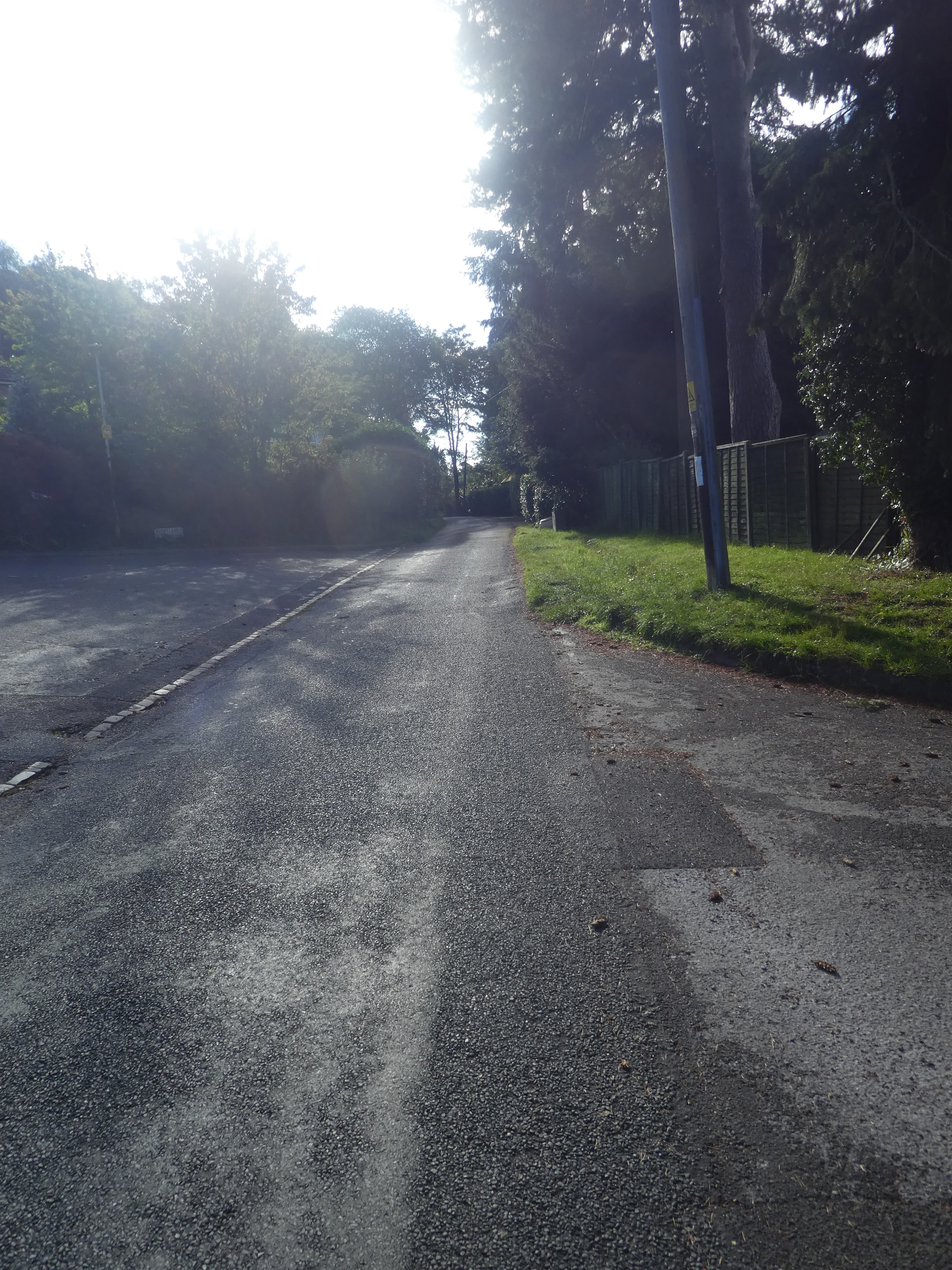
This track turned in the woods and headed to the A3 and a pedestrian bridge
crossing. On the northern side we had to travel up the outside of the training
area until we could get to an entrance gate.
This part of the training area has a perimeter track that is open most of the
time, however when shooting is not scheduled there are a couple of public rights
of way across the middle, however before the closure (similar to the south side)
you could wander at will when shooting was not happening.
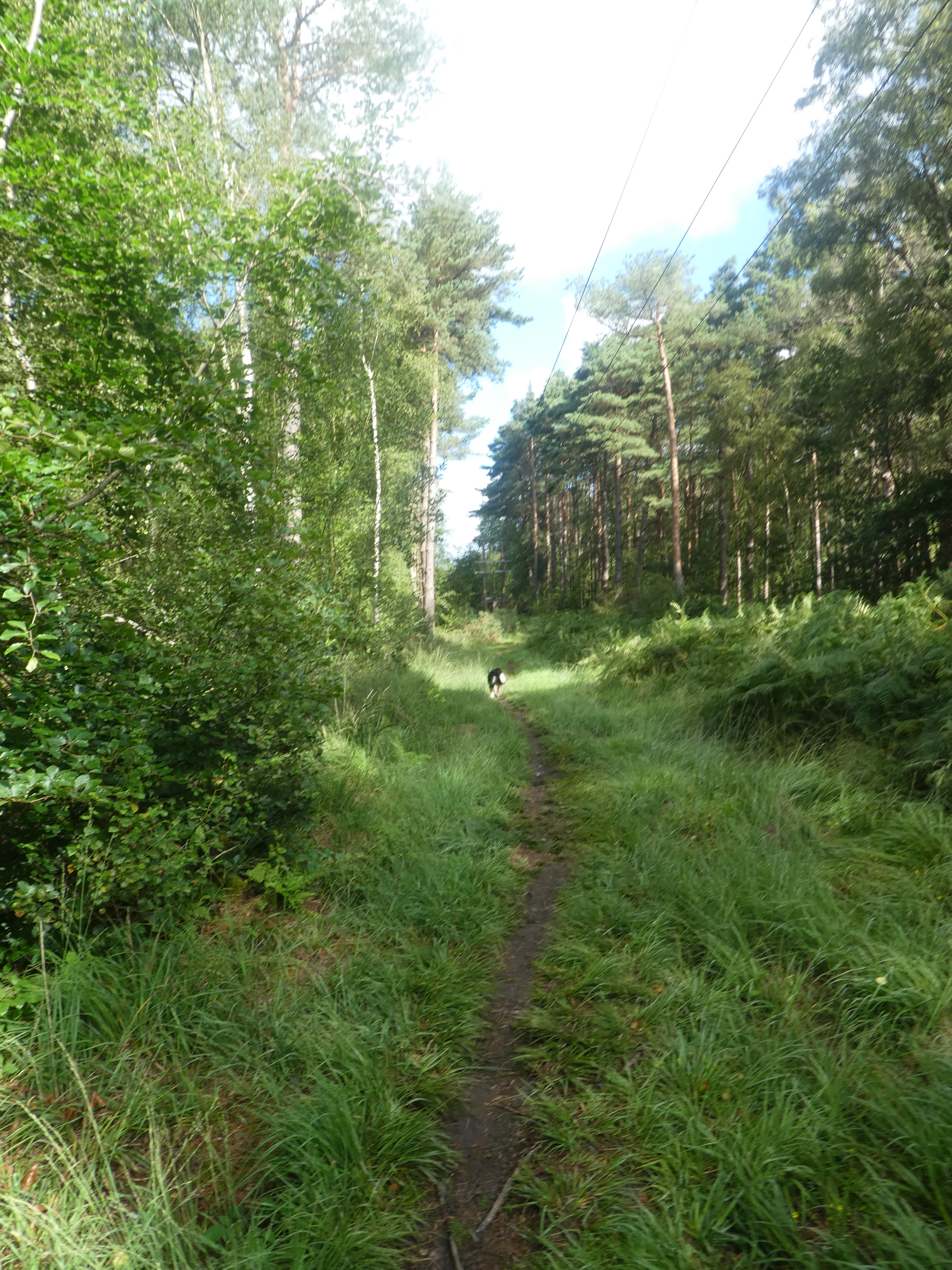
The path started on a grassy swathe into the woods, however it soon mutated into
a path between trees and bracken.
We came out of the wooded area into a more open grassy and bracken area (and a
diversion onto the other path where they came close.
Following the new path along a large swathe between the bracken areas then
heather. As we approached the edge of the training area we dropped into woods
once again.
This track became more used as we got closer to the edge of the area, and out
onto the perimeter track once again. (We could have gone around it rather than
across the middle).
We followed the perimeter track around the edge of the area next to the A3 along
past the camp on the other side, and teh clover leaf junction. We stayed on the
track beside Woolmer road and the entrances to teh rifle ranges.
Around opposite the Woolmer pond, we escaped down a path that led to the A325
roundabout
Across the roundabout and down Benhams lane to Benhams farm, where we continued
into a harvested wheat field through a gate between houses.
Through a hedge and into a second field - this time Barley, before turning onto
a bridleway in Lawrences copse. This path mutated into a back road at some
houses and we turned off it heading towards Empshott on another path.
This path crossed anther field of crops before coming out on the B3006, which we
followed along to the edge of the village. Although the road was 30mph, we would
have been better off circling around. In the village we followed a back road and
then a byway.
The Byway dropped down to a stream before crossing a grassy field (less byway
and more footpath now)
Beside Hawkley House we lost the path in the gardens and went where we thought
for a while, before leaping some fences and back down to the track. We knew we
had gone wrong when we saw steps leading up to the house.
This was now Standfast lane, and definitely an ancient way. Where the lane
mutated into a backroad we climbed a bank and followed a path beside a crop
field.
Coming out on another back road (Upland lane) we followed it as it dropped
steeply down to a stream, then on the other side we turned into a grass field on
a path that went around the boundary of a house.
The path met a farm track behind the house and dropped down to a byway and a
zigzag around Prouts farm to continue towards Liss.
Now almost direct line to Liss along a green farm track, passing Berrygrove
farm. Finally across a grass field to approach the A3 once again.
Over the A3 on a footbridge, only to find our desired path blocked by two huge
bulls, so alternatively we continued to the B3006
The alternative route followed the edge of the field and past the church. Down
the road to the Spread Eagle pub (currently getting a new veranda) where we
diverted down a back road to pick up the original route.
Across the fields and a second back road beside Brows farm, and through a second
church back onto the B3006. Down the road to the main line level crossing and
station.
Beside the station we picked up the Liss riverside railway walk (we did have a
failed attempt to start alongside the houses before retreating to find the real
access point). We also stopped for a drink on the bench at teh start.
The Shipwright's way has placed some sculptures along the way.
We followed the old railway line back to the car park we had started in. It crossed and recrossed the river Rother a number of times - some accessible to Bertie and others too steep, but he tried each one. Back at the van for lunch and drinks