Bertie was showing signs of some minor issues with his back left leg so
I was on my own today, so time for a longer walk. For a while I had planned to
repeat the Serpents way up to Haslemere from Petersfield, since most of the
day routes had been the other way around. The aim was to do them either as one
route over several days or else as few days as was possible - should be 3 or 4
- spread over a couple of weeks. This latter was the one to be undertaken, and
this would be the first section. Since there was a national discount with a
maximum of £2 a journey. We would park in Sylvia Beaufoy centre, and catch the
bus across to the start and walk back.


I was parked up early - too keen to start on this showery day where waterproofs
were required - and had to wait for the bus at the stop around the corner -
there is about one bus an hour each way, but it only goes to Midhurst. There we
had to change busses and catch a second one (luckily only 10 mins later) to
Petersfield (they both follow the A272, however there was a slight diversion to
Steadham down single track lanes). I left the bus in the Petersfield town
centre, at the square, and through a series of knight's moves to reach the
crossroads of the B2070 and B2146.
Turning down the B2146 to reach the Heath Pond and the beginning of the
Serpent's Way. Although the rain had stopped everywhere was dripping so rain
jacket still on.
I walked up through the park to the end corner and over the B2199 to go down
Durfold road and the lane on the end of it.
Into the fields when the lane ended that led down to the river Rother and across
it (for the first time).
On the far bank the path goes around an arable field before cutting back across
the river around more fields (the path now goes around the edge of the field
rather than straight across). There is a picnic area beside the river that
belongs to the deer park.
Into the deer park through high fences and big gates, under constant supervision
from the residents.
Onto the driveway of Durford Mill and down to the back road until the driveway
beside the old railway track (you have to use the driveway) that we would
generally follow from here on.
At the end of the drive I turned south for the first good view of the South
Downs, beside the sand pit of west heath common. Then onto the farm tracks of
Down Park farm, zigzagging around the buildings
The grass fields beyond were swamped and we paddled through several before
reaching the houses on the edge of Nyewood
Along the back road through the village and over the old railway once again,
before turning down Dumpford lane, and past Nyewood house.
Leaving the lane down the driveway to Clarefield wild camping field looking at
the Downs again. Down beside the camping field and across the bottom through
woods to join the old railway track for a section.
Back into the swampy fields up to Dumpford Park farm and then through woods and
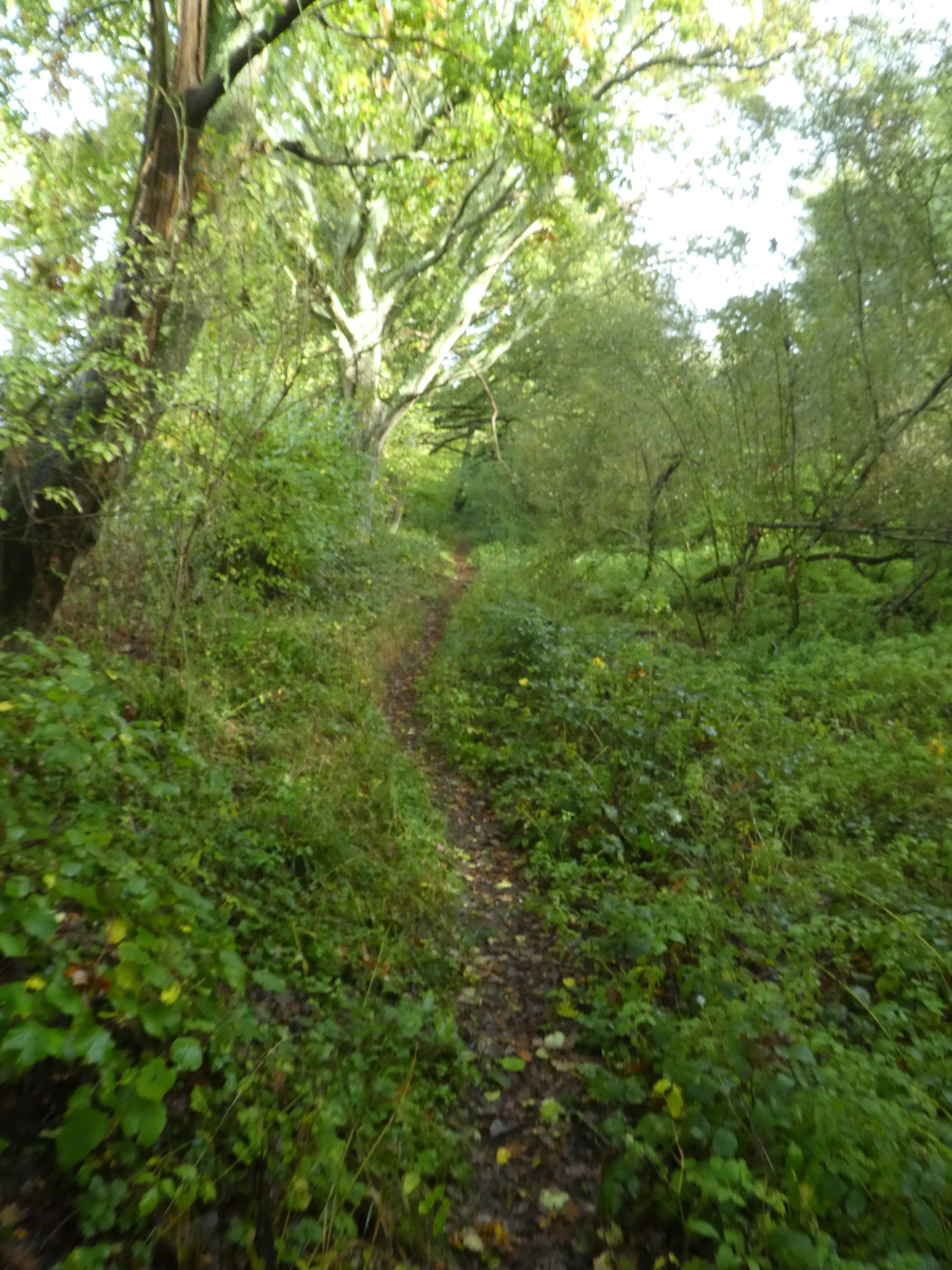
a very overgrown path to Dumpford manor farm. All this avoided a section of road
walking on the original route of the Serpents way!
Over Trotton road and into a huge arable field heading towards the woods beyond.
Passing Goldring farm along a green lane.
Out of the fields and into the edge of Iping common - avoiding the flooded path
before climbing up onto the sandy areas.
Up om the top of the common and turned towards the East
Approaching the car park passing the sculpture. Over the road and into Stedham
Common.
Through the woods of Stedham common and across a back road into the extension on
the other side. heading towards the A272 at Woolmer Bridge. On the old road
cross a stream and back into the woods of the Severals zigzagging back parallel
to the A272.
A zigzag along a back road and continuing in the woods beyond. A sharp turn
and rising up beside a building to reach the edge of Midhurst Common.
Looking at the South Downs in the distance as I dropped down the edge of
Midhurst Common avoiding the biggest puddles. Around the end of the pits turning
East towards Midhurst and much dryer path.
Over a back road and picking up Pitsham Lane passing beside the outer edge of
the houses to reach the farm beyond. Continuing on the lane until we could take
a path shortcut to the A286. This path crossed a grass field then dropped down a
steep bank to cross a stream on slippery planks. the other side through a garden
and along the drive to the A286.
Over the A286 and down Dunford Hollow passing Dunford House on the driveway to
Heyshott Green. Up passing the horse stabling of Walkers Farm, before turning
into the woods
Through the woods of Heyshott Common gently rising. Before getting to the
disused railway I stopped on a forestry track for some refreshment, cutting the
corner off. Dropping back down - still in Heyshott Common.
Winding through Heyshott common alternating between trees and open common.
Across the common to the car parks - here the paths were under water and I had
to edge around and jump from clump to clump. Across the new road and into
Ambersham common.
Dropping down out of Ambersham Common to the Foot bridge in Hoyle hanger
Around Graffham Court and through the woods beyond winding around to Graffham
common
Climbing up the hill beside Graffham Common.
The top of Gallows hill looking across to the hills beyond Petworth.
The path follows the top if the ridge dropping down to Barnett's bridge (there
was a short cut to avoid a small bit of road. Following the road past
Brookside farm.
Entering Lavington Common at a T junction of back roads. Here the paths were
just rivers and I had to work through the scrub at the sides.
Eventually reaching a dryer track and following it to eh car park on the far
side of a back road. Over the road and continuing across the common and into
Duncton Common
Along the track in Duncton common dipping over a stream and up to Heath End
hamlet where the track met the A285. A short pause at the old farm shop for an apple and can of pop to sustain the final push back to the van. If I was doing this in one push an ideal overnight would have been at the train carriage B&B at Coultershaw Bridge.
However I followed the road towards Petworth across the disused railway for the last time today, until I could go down the driveway to Kilsham farm and cottages. The river Rother was flooded here and in the fields on either side.
The bridge was clear luckily and once over could follow a series of farm tracks in a zigzag to the outskirts of Petworth and through the residential area back to the van. A long day (perhaps the longest in recent times) however a useful beginning to the challenge of the Serpents way.