We drove around in Sue's car as I was not sure if there were barriers - no problem - and we grabbed the last space at the parking area beside the Rowhill nature reserve centre (closed for now). There were lots of people doing what we were, and parking there to cross the road into the MoD training area on the other side of the A325.
We used the pedestrian crossings and entered the gate into the area followed by a climb up the first slope in the trees
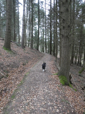
This deposited us on a trackway along the top of a ridge heading towards a pond in an area delightfully called Long Bottom.
From the lake we continued in the same direction between hills on both sides until we reached a major crossing of tracks (there were tracks everywhere, and not necessarily matching the map so a bit of license needed to be used). We took a side track to climb up to a feature marked on the map as Caesar's Camp - an old fort area
The insides of the camp looking towards West London/ Heathrow. Many ramparts and ditches surrounded the flat area.
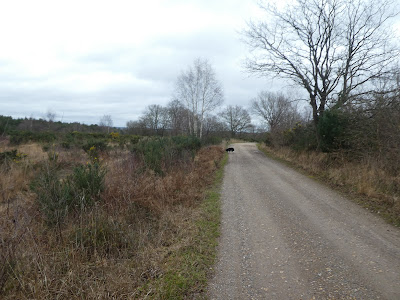
Outside the ramparts of the camp was a lake - with a shingle beach for Bertie to go swimming, then along the straight track to the edge of a plantation.
We went through a gate into the plantation, and followed a track down to the reservoir, before taking a side track into the trees. This followed a series of canals built into the hillside to channel the water down to specific points.
Still following the canals we meandered around the slope before crossing a couple of tracks and along under Beacon Hill.
We followed a couple of tracks zigzagging through the bracken to end up at the trig point, then down a very steep track to regain the canal path.
We left the canal to drop down towards the reservoir in Bourley Bottom, by another off-piste track, and reached the track around it. We followed this track to the Water works.
From the water works we followed the drive way up to the Bourley road and out a gate. We had to go along the back road for 100m to gain a gate on the other side. This was into the Rushmoor area, which is occasionally used by the Army so we had to make sure that it was open today (there are locks on the gates when it is closed).
Into the second area and across a marshalling area (called camping ground on the map). We paused for some refreshment under Firs Hill before crossing a dip to Burn's Hill.
Still on the same track and in the same direction past Jubilee Hill, and down to a major track junction. We turned left (north) here along side the Claycart stream.
After a few hundred metres we took a path on the right that took us down to the stream which we then followed on the far side going around something on the map called Bat's hogsty. Then down a track beside the Aldershot race track - oval car racing. At the end of the fenced off circuit we followed it around to reach a gate and the road towards the Wellington monument
The huge statue (it used to be at Hyde Park corner) stood proud on a mound above a car park (free and no barrier - except it is in the military section so closed at 8pm). Then back to the back road where we could access the first training area.
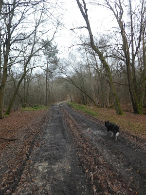
Into the area on a concrete track which mutated into a gravel track, climbing gently up to Sunny hill.
Over the other side of the hill we dropped into an open area reminiscent of Fontainebleau, with several cattle hanging around.
The final section was to work our way across to the initial track we followed that dropped down to the gate which allowed us to cross back to the car park. Back at the car park a quick cup of coffee before we gave up our parking space for another car.


