The recent bout of rain and changeable weather has passed for today, and we
awoke to clear skies with a slight frost on the ground. I was certain that the
lower paths would be muddy from all the recent rain, so determined a route
that would involve lanes and higher slopes. Starting in East Meon, and working
down to and across the South downs way and on to QE forest. From here back up
Butser Hill then down over Ramsdean down to the village of the same name. Up
towards Langrish before crossing over the hills back to East Meon.
Luckily we could use Sue's car so could park in the East Meon car park (2.1m
barrier) - if we had used the van the alternative was he village hall car park,
or the lay-by at Langrish on the A272. From here we walked down the village road
to the central crossroads and then south to pick up a footpath climbing up the
grass field beyond. Our first taste of the sodden fields, but luckily the slope
meant it was not super muddy.
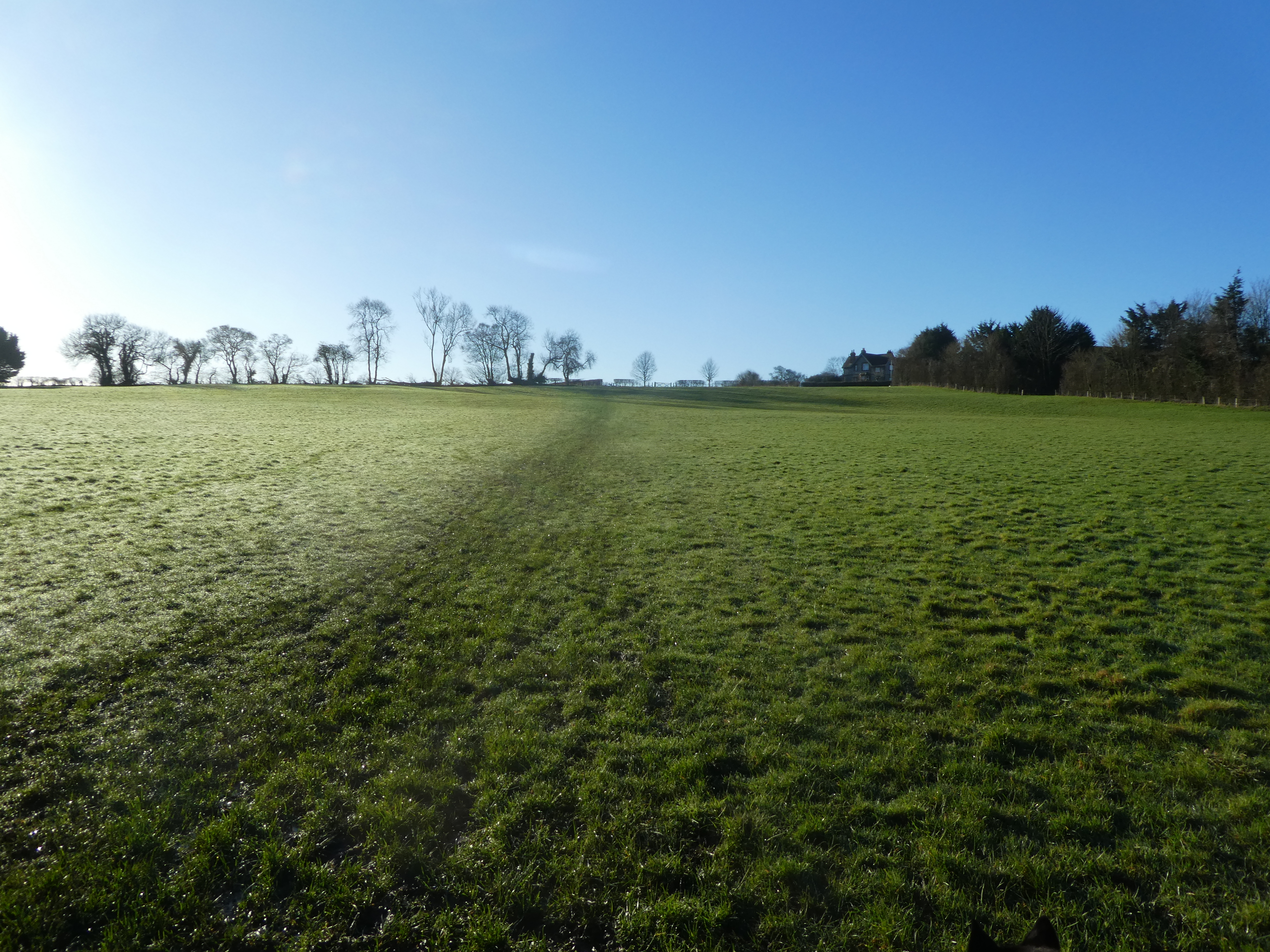
The top of the slope gave a view over to the South Downs and our upcoming
circuit.
First though we had to cross more soggy fields as we worked over to South
Down.
Along the edge of South down and then turning sharply down a farm track that
dropped to Lower Farm.
Across a back road, and through South Farm
Along a farm track, passing the source of the river Meon. The track ended at the
Upper Barn
looking up to the south downs ridge ahead as we crossed into a field of sheep -
their feed station was just beside the path and we had to divert around them, as
the assumption was they would be pregnant.
The exit from the sheep field led up a green track that angled across the slope,
before easing up as it approached the South Downs way.
Through the hedge and onto the trackway, along past a building and onto Hogs
Lodge lane. This is where we left the SDW and continued down the lane.
The lane was quite busy and as we approached Oxenbourne Down. As this was open
access land and had a path along the bottom, I had hoped there would be a way to
it from the road. Unfortunately the only simple way was through a gate that was
blocked by heavy brambles. A little further down the lane we saw an animal path
through the hedge and into a less blocked undergrowth. We crossed over and found
a way through to the marked fire breaks.
Once again thwarted by a fence at the top of a steep slope of yew trees, with no
other option (other than retreat to the lane) we hopped over the fence and down
through the yews.
Down on the path we could look to the end of the valley, and also along the way
to the exit. We continued down to the exit and over the stile onto a driveway.
this came out next to the A3 opposite the visitors centre for the QE forest
park.
We, instead, took the bridle path up our side of the road that climbed over the
cutting
Then dropped down to the parking area on this side of the road. We could see our
route up Butser Hill ahead - we would go up the right hand slope this time- it
does not look too steep from this angle!.
Just a long ramp... but it got steeper towards the top before easing up
after passing the fence line.
360 deg view from the trig point
Bypassing the radio masts and heading towards Ramsdean Down
At the end of the top looking over towards the hanger way, and down to
Petersfield.
Down the long curving tongue of Ramsdean down - intially open grass land before
getting scrubby lower down.
We then joined up with a byway - initially still going down hill and dry chalk,
before it got churned up as we got into the flatter fields
Over Ramsdean lane and along a back road to Ramsdean village. At Twentyways farm
a private helicopter was taking off.
Through the village and down North Stroud Lane (another byway) which was churned
up by tyred vehicles, however one of the tire tracks had water running that made
it easier to walk down.
We missed the turning onto out selected footpath (as it was hidden in the hedge)
however we did a sharp turn through the field gate and after a soggy climb back
up re-joined at a footbridge of concrete beams.
On the other side we climbed up again - getting dryer the higher up, until we
turned into a cow field. Both Bertie and the cows were very well behaved and we
could walk through the collective and escape over the stile at the other end.
There was one point where Bertie tried to escape through the barbed wire and got
caught up, it happened where the biggest boggy bit was and my boots suffered as
a consequence.
Back on another farm track and heading to Home farm,. before the path dropped
through a field down to East Meon road. The path went though a well tended
garden before exiting onto the road.
On the other side we slipped down the side of a row of houses and throguh a
field to reach the woods of Sir William's Hill. A detectorist was digging at the
edge of the wood, but we passed by and began the steep climb through the
woods.
Over the top there was a slight dip above a house, before turning to climb once
again. Out of the trees at the top we were back into fields - walking beside
ploughed land trying to avoid the muddy sections.
Over a dip and up the other side, where we picked up a farm track - this was dry
and gave respite from the mud. The track turned sharply around the field and
dropped down towards Park Cottages.
We stopped to talk to a man with a camera and huge lens for a quick chat about
what wildlife was around - then a hare ran across in front of us and into the
middle of the field.
We followed the farm track to park road, across that and down a path that
paralleled the road before it opened out into grassland around the side of Park
Hill.
We contoured around the side of the hill, with views back towards Butser and
across to the woods we had recently been through.
Eventually coming round above East Meon village, and then descending the slope
in a steepish curve.
Into the edge of the village and along a path through the graveyard. Then back through the centre of the village to the car park - in a similar way to how we had started but in reverse.