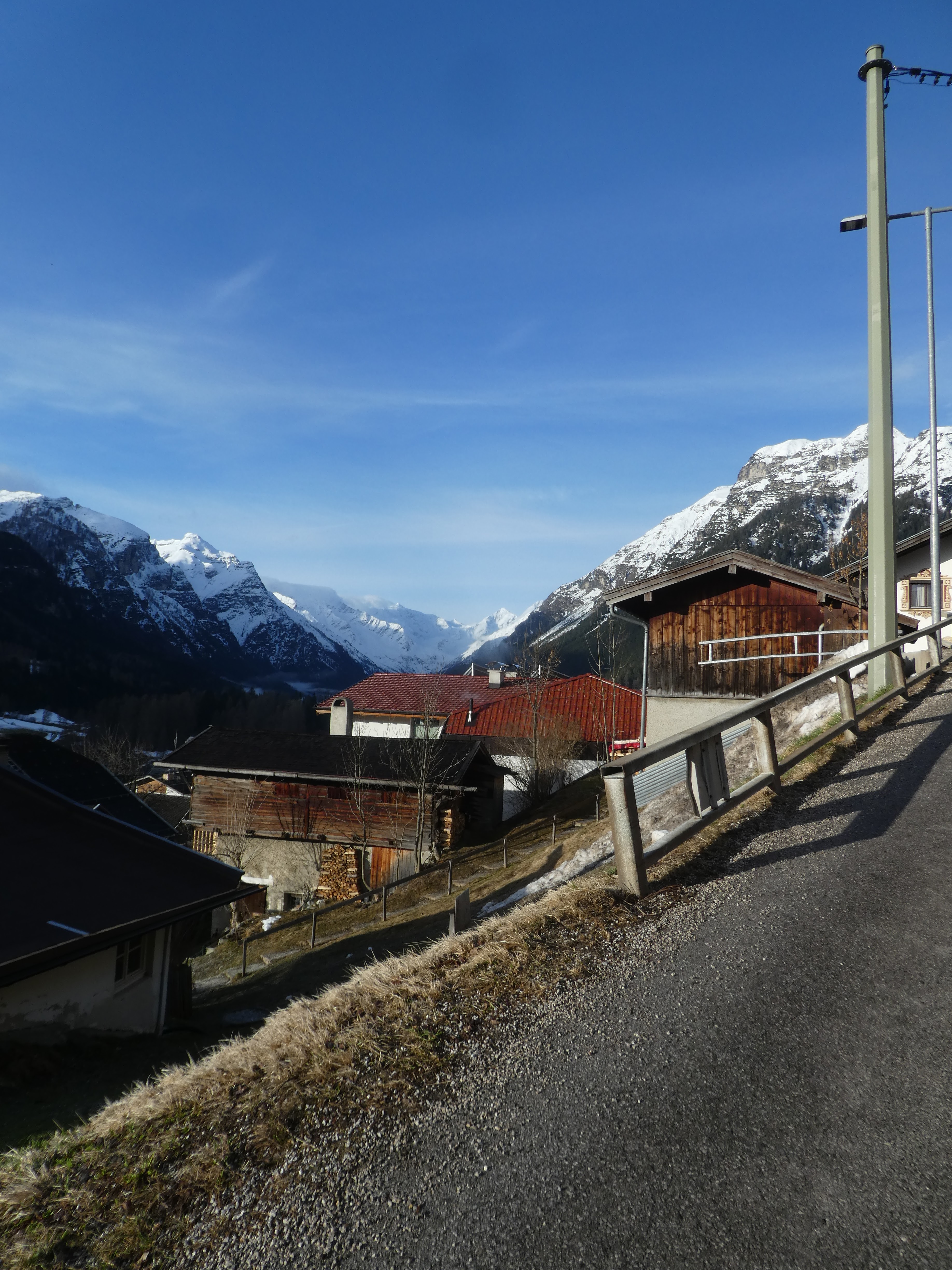
We awoke to bright blue sky over the valley with just some Cirrus down towards
the Brenner valley, however the forecast was for cloud cover all day.
Either way we chose to repeat a route from several years ago and go to
Grubenkopf from the end of the Oberbernberg valley. It was Saturday, and we
anticipated that there would be several other parties on the same route to help
with any blind navigating.
We drove over and parked in the large car park (5.50 Euros for 7 hours - we
thought we had better be conservative on the timings).and set off at the same
time a huge group presumably from a club. The blue skies of earlier had
vanished and there was rain in the air
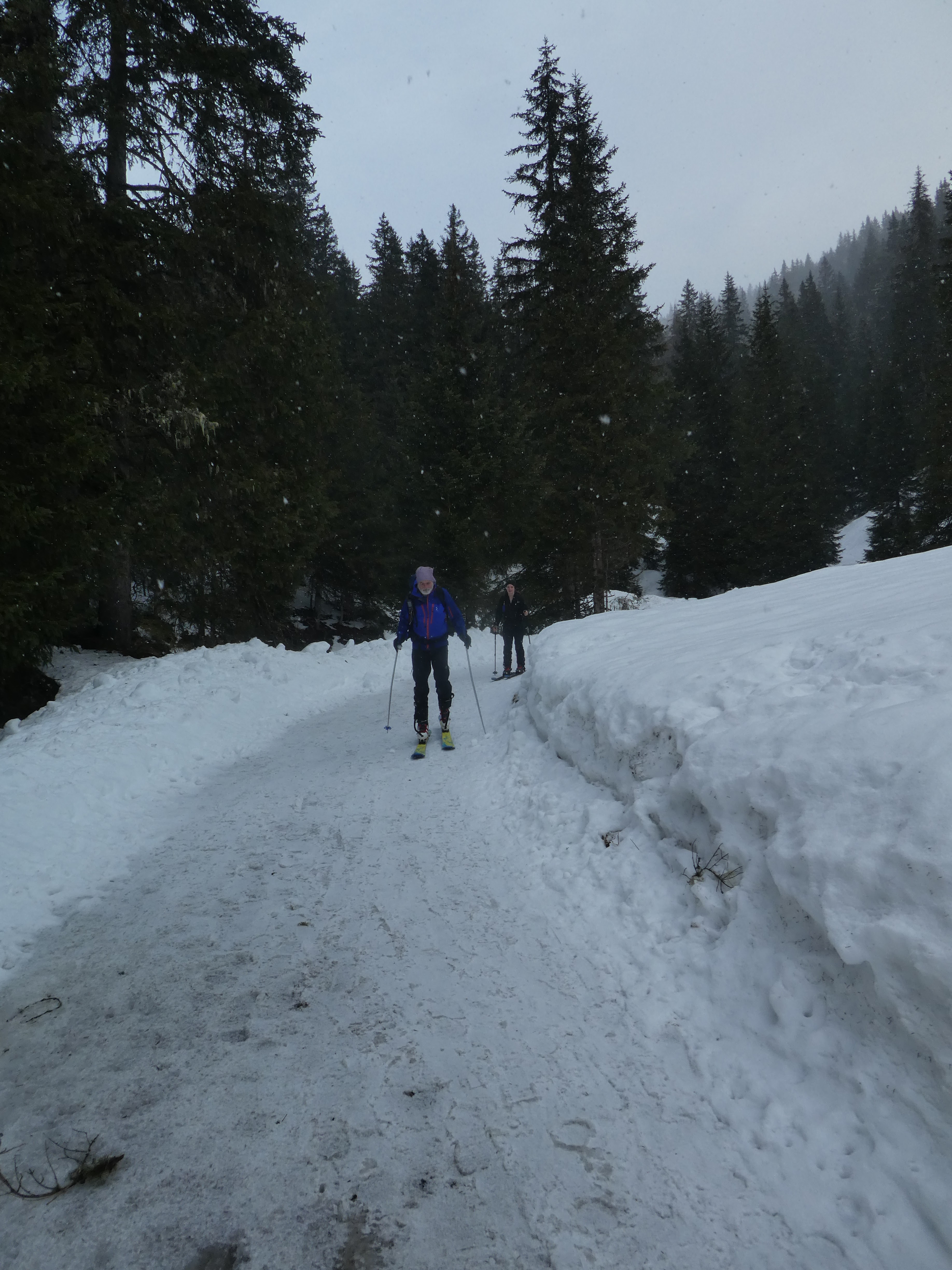
We powered up the Rodelbahn and missed the shortcut for walkers and skiers, but
continued up the iced over track.
The Rodelbahn zigzagged up into the forest at the side of the valley.
We were all hot and sweaty by the time we arrived at the lake - the large party
had come up the shortcut and passed us here, however we caught up with them
again around the lake. Last time we were here there was a large statue of a deer
- stuffed I think- but it was missing today.
We continued around the track that circumnavigated the lake
Flat and very icy - including the dog leg to avoid going down onto the lake, and
arrived opposite the church on a promontory between lakes.
Here was the junction of ways and we passed the large group as they discussed
what to do, and we set off up a track following the much used ski trail.
However we missed the shortcut more steeply through the woods and took the
long way around snaking through the woods of Kaserwald.
Inside the woods we realised we had not taken the route we had used the previous
couple of ascents, so followed the signs to Sandjochl
With the low cloud and limited vision we were not really sure where we were when
escaping out of the top of the woods.
This track actually brought us out into a side chute of the big meadow we had
been expecting to go through, and dropped down to join the other track - once
again the large group had passed us.
We dropped down to cross a stream (this would be the same pain as last time when
we returned), before climbing the rolling hills on the far side.
As we were out of the woods the visibility had dropped and with the low cloud it
was hard to get an impression of where exactly we were. To add to this the wind
started blowing in our faces, but there was little precipitation at this point,
just flurries of snow.
We continued climbing over the rolling lumps with our only definition being the
parties in front and behind us. As we got higher the snow had turned to hail and
was battering up with the wind, and I had to give in and add waterproofing to
the layers to keep out the wind and hail.
Ahead, one (or part) of the large groups - this was a popular tour today, had
decided to turn around, however as there were more ahead and a well defined
path, so we continued in the clouds. Behind we could see further groups coming
up - the only definition in the white.
Eventually everyone stopped ahead.. We were close to the Joch, but the
visibility was around 5m and we could not see where it was. I did try to go a
little higher, but the slope got steep, and later looking at the map, I should
have gone to our left more as we were that close. I also remember a large(ish)
head wall to the col which you skirt around the bottom, so we were in the right
place.
Time to prepare the skis for descent and grab a quick bite while trying to keep
warm. Then it was off into the white where you have no idea what the slope
is and are feeling around with the skis to judge the best descent path. As we
got lower we could see better, but the light was flat and did not help the
definition, especially of the slope.
Eventually coming out of the clouds as we popped over one of the rolling humps
we had passed on the way up. Here we could see the stream we had to cross and
the climb on its far side, but first some more turns - the snow was slightly
heavy especially where previous skiers had tracked it, but there were much
better bits where it was fresh.
Across the stream and a painful climb up the other side.. Slippy skis
meant a big effort to climb up to the huts.
Once there it was time for a proper refreshment break in the lee of one of the
huts, and some glances up the slopes where we had just come down and the path
was only really visible because of the other parties ascending/ descending -
looking as if they are floating in the clouds! The snow/ rain had stopped for
now, but the clouds persisted.
Now on the shortcut track we dropped through meadows with the same landmines
of previous tracks to be avoided for the best skiing.
A finally churned up area led to the entrance into the woods - we seem to be
going down these forest tracks every day on this trip!
Some smart turns, and obstacle avoidance and soon back at the junction to the
lake track we had left earlier in the day.
The lake was busy now with lots of walkers and snowshoers which made the polling
effort to get around the lake on the flat track all the more challenging. We
arrived back at the inn where the Rodelbahn starts, only this time ready to take
the short cut.
The shortcut dropped down into a big meadow, however the snow here was very
heavy and it was almost impossible to get enough speed to do turns , so a
straight line descent was called for. A steeper section allowed us to have more
fun, before it ended back on the Rodelbahn track.
We followed the Rodelbahn track down - now very slushy and with standing water
where there was ice earlier.
Once again challenged by the groups of walkers occupying the complete track, but we were soon back at the car park and trying to dry everything off (the sun was out between the clouds). Once back at the apartment it was raining again.