The sky was clear and there were signs of frost around, however the forecast was for rain later. I planned a short walk aroudn Coolham airfield and into Knepp. The aim was to park in the walkers car park in Shipley and then head off north towards Dragons Green, after crossing the A272 then circling around through the woods and fields to get back to the A272 near Rylands yard. Down to a back road to get to the end of the airfield remnants. Around the edge of the WWII grass runway, then down into the Knepp estate following the Blue rout to lower barn, then the red route back to the car park.
Parked in the walkers car park in the layby between the village hall and the windmill, then up the path on the northern side into the filed beyond.
Around Church farm north taking the "rabbit holed path beside fields, which then evolved into a woodland walk (with Bluebells)
After touching another back road then onto the by-way (with extra wooden planks around puddles). Continuing on the by-way up to where it met the A272
Up the back road through Dragons Green to the first bend where we diverted into the woods on a woodland path that followed a stream as it meandered between fields with more bluebells.
Back on a bridleway through fields - still muddy but not a quagmire. At the track from Goffsland farm we turned to follow it back towards the woods.
Across into the woods touching a large pond (with lots of green algae) and then along the edge of a grass field up to cross a back road.
Along the edge of a crop field and into a small wood - muddy in places, but dry edges.
A fallow field with cross country fences along the edge led to a back road (after a muddy sting through the trees at the edge. Along the back road to a path into a second fallow field - this one with no visible signs of the path we wandered across until finding a marker on the far side.
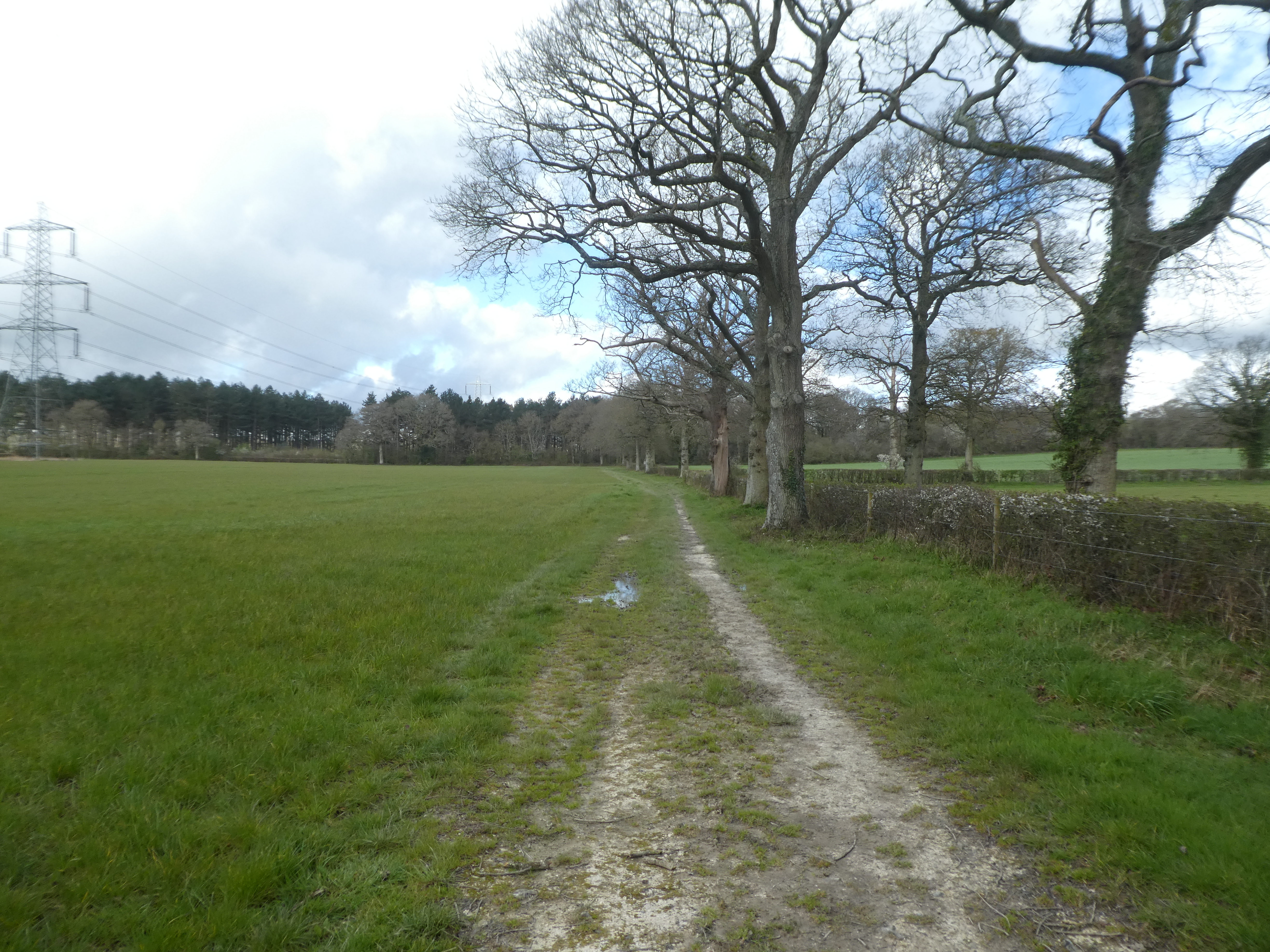
Across the end of the field turning back on ourselves. At the pylons the path once again disappeared and we thankfully found a gate on the far side that led down to the farm driveway from Baker's farm.
Around the edge of the farm on a farm track and past a small wooded area to pick up a path beside a grass field that led around to the back of the farm.
Heading away from Baker's farm towards Hoe's farm in the fields. At Hoe's farm we walked through the yard and out the other side on a very rutted and muddy farm track aroudn scrub. Past the farm the track improved into a green path around the edge of Hoe's wood.
A difficult bit - the path signs ran out and we used an old gate to a very little used path between fields. Beside the road the exit was blocked and we had to climb a fence using a fallen tree to escape. Looking back we should have been in one of the fields as we saw the signs opposite Rylands yard. Through the yard and down the path beyond then cutting into the field beside the track.
This field led to the farm driveway leading to Butterstocks lane which we followed until we could pick up the bridleway leading to the airfield boundary track.
Along the edge of the field that used to be the main runway there were memorials to those who lost their lives whilst stationed there, as well a a number of signs describing the history.
Around the end of the runway and back down the other side
Back at the Bridleway that crossed it we turned towards Jenden's farm and some very waterlogged fields. Just [past Jenden's farm we crossed the drive and headed diagonally across more waterlogged fields.
The fields gave way to small paddock which led to a back road. At this point the was slight drizzle in the air needing waterproof jackets. Across the back road and into the Knepp estate onto the Blue route (the countryman pub diversion route)
The path was a mixture of dry(ish) bits and water hollows and quagmired. Here we moved through a number of cows grazing on the scrub. By now it was raining quite hard
We followed the Blue route until it came out at the Lower barn. Here we moved over to the red route ( a larger track), however it was more of the same - large mud puddles and drier side tracks.
Leaving the estate along Countryman lane, then passing the red route up to the windmill (as it was more mud than path). We followed the path along the driveway to Church farm south, through its garden and across the stream below the church.
Up to the church and through the churchyard. Then along the lane to the village hall and back to the car park lay-by. The rain had eased as we got back to the village, so I had time to dry Bertie a little before he climbed in.
On the way home it started raining really hard - we had got out of it just in time.