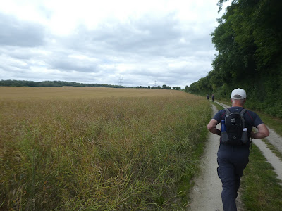
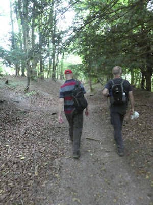
We all met up at the regular stop of the car park beside the church and pond in the village of Buriton. Once we set off along the trail below the ridge line.
Up the milky way track to the ridge line, which only had one steeper section. Over the South Downs way (SDW) and onto the Staunton way (SW) through the woods traversing the side of a spur leading south. This path comes out onto the access track to Ditcham Park school, then (leaving the SW) descending steeply down to Downley Hanger up the other side less steeply and over the Sussex border path
Up the milky way track to the ridge line, which only had one steeper section. Over the South Downs way (SDW) and onto the Staunton way (SW) through the woods traversing the side of a spur leading south. This path comes out onto the access track to Ditcham Park school, then (leaving the SW) descending steeply down to Downley Hanger up the other side less steeply and over the Sussex border path
The environment opened out to crop fields now with a wide chalk track between them. We zigzagged along the field boundaries and down to Cowdown lane. Along this lane until we re-joined the Staunton way, and turned into more fields.
Through the rape and bean fields heading down to Idsworth.
Leaving the SW again to visit the Norman church sitting lonely in a field above the valley bottom.
Looking through the church at the frescos and the Norman structures.
Leaving the church and down to the valley bottom, over the back road and a staggered crossing led to the subway under the railway line. Another climb up the opposite side along the hedge line to the crop fields above the horse paddocks
Back on the SW (and Sussex Border path - SBP), we followed the track along the ridge top of Chalton down. Into the village of the same name through the church yard opposite the Red Lion.
Lunch stop ... as is usual with these big groups it takes time to get food and drink for all, but was tasty.
After lunch we continued north along the same path as before, climbing through the fields to the edge of Queen Elizabeth Forest.
In the QE forest we left the SW and SBP dropping to New barn lane. Along the lane slightly before climbing the chalk track into Head Down hanger. This track climbed then traversed around the higher points before a sharp turn led back down to the SDW
The final section was to follow a steep path through the woods back to the car park at Buriton. Short goodbyes and I set off back home.


