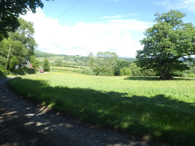
Time for a break from "Dad DIY" at Steph's - the weather was not brilliant
with showers forecast all day, however I chose a route from one of the guides
that started in Llanyre going to Rhayader over the hills in between, with an
option to return via the Wey valley way if the rain held off. I could bail out
at Rhayader or even Llanwrthwl. Given the forecast I left Bertie at the house
to ease his arthritis, and also the stress of riding on the bus.
I took the bus to Llanyre from Newbridge (about 5km) as there was no realistic
path between the two villages. This dropped me off at the war memorial in the
centre of the village.
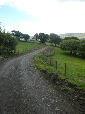
Following the guidebook route, that crossed the playing field and into a second more overgrown one. This last one soaked my legs from the overnight rain. This came out onto a driveway where I realised I could have stayed drier by avoiding the field using this alone.The driveway mutated into a farm track up past some buildings and climbing up the slope beyond. This led up to a farm on the mid slope, here The path split off but was difficult to see exactly where, and I did have to retreat a little at one point to find the correct route.
The path rose up a very overgrown (and equally wet grass boarder) rising to a sheep field. Over the skyline into the plateau behind.
Across the sheep fields heading for the wireless mask on the ridge ahead. The way followed a series of zigzags through the fields. The first rain shower meant the jacket came out of the pack.
Up to the top of this slope to look over the top into the valley beyond. This side of the ridge was covered in ferns rather than grass, and it was impossible to see where the path went.
Descending through the ferns trying to find a way using the sheep paths and occasional grassy swaths. Down below the Llyn Gwyn which I would try and visit on the way past.
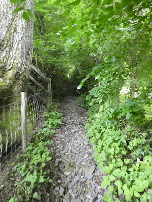
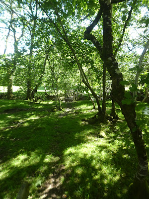
Through a gate into the woods at roughly the point where the map showed. then a difficult descent to a sheep field where the path had disappeared but there was an overgrown gate - it may have been easier to stay on the forest track
Back into the forest (again a gate at the right point but no obvious path to it). This time staying on the track to the edge of the forest, then onto the farm driveway. Along this driveway there should have been a path to the lake, but I did not see it and by the time I realised I was passed the point. Staying on the driveway up to the back road. Jacket now around my waist as the rain had cleared up.
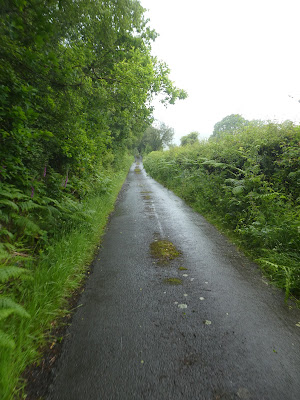
I crossed the back road and continued up the track opposite and continued for a while until I realised I should have stayed on the back road into Nant-Glas. I really missed having a paper map to see the bigger picture rather than the small phone screen!
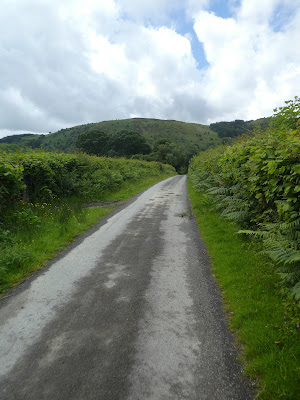
Along the road and into Nant-Glas before taking a turning up a farm driveway (marked as a back road), that climbed up to the slope ahead. The route would go to the tree line then curve right around the high point. Jacket back on as it was rainign again.
Up to the point where the driveway turned sharply then into the field to climb steeply up tot he treeline - not very well marked but there was a gate to go through.
Along the top of the tree line on a slope covered in bracken - luckily there was a quad bike track to follow, which then changed into a green track as it curved around in the trees.
As I got to the top of the slope the tress thinned out, and it emerged into a sheep field. the rain had paused again so jacket off.
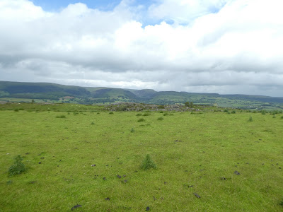
Over the top of the ridge and looking down onto Rhayader village down below.
Dropping down over the slopes following a faint track that zigzagged across the slope, until it reached the fences at the bottom.
The last bit down to the A470 road was a path through more bracken. Then along the road for a short section before the path continued through the fields on the other side.
Down past the sewage works to the river through a sheep field.
Along the river bank into the edge of the town (where the path left the river bank and continued up the road). However I followed a riverbank trail back to the river and along it around a wide bend.
Past a very overgrown playing field and into the centre of the village. Here over the river Wye using the main bridge, and down the Elan valley road.
Along the road I followed a sign to the Wye valley walk, however this was a misnomer as it just came out in the recreation ground, following the river but then stopped and I had t make my way around the field and back to a road alongside, This was the end of the first part of the walk and as it was before 12 noon, I chose to continued on back along the Wye Valley way.
Back on the Wey valley Way as marked on the map, as it climbs up a back road - one we would touch several times. At a sharp turn int he road we left it and continued down a gravel farm drive way to Glan Elan. More rain started!
At the farm we touched the track of the disused railway line that passes through to Newbridge and beyond - unfortunately it is not a public path. We had to curve away form it to return to the back road using a farm track.
Back on the back road to Glyn farm, where it ends. then onto a farm track again heading for the Afon Elan - a tributary to the Wye coming from the Elan valley. Rain stopped again.
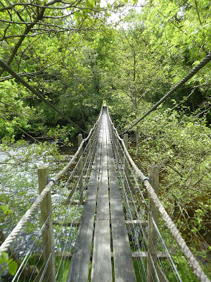
Over the river on a narrow suspension bridge -Glyn Bridge. It was quite wobbly in the middle both up and down and side to side.
Along the Afon Elan back to pick up another back road cutting back to a house where the Wye valley path cut up a stream bed.
Up the path through the shrubbery and into the open fellside above, where there was more bracken - luckily with a wide clear path. This would take me away from the river as there was only a back road closer to it.
Steely climbing up the hillside following the woods on the right. The slope eased up after passing a building and continued to rise to the plateau at the top. A pause on the climb to put my jacket back on (and catch my breath!)
Looking over the other side down into the valley leading to Llanwrthwl. through the farm at Cefn, and then down its drive.
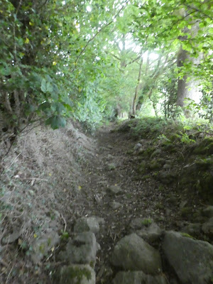
the drive way continued down to meet a back road at Dolgai where I crossed and down an overgrown track that eventually came out into the village of Llanwrthwl. Jacket off for the descent.
In the village I walked through to the church where a convenient bench provided a spot to stop and eat lunch - albeit with rain jacket on to ward off the flurries of water, After lunch I decided that everything was good and I should continue back t Newbridge and not call in a lift. So off down the back road parallel to the river Wye (now that we were back with it)
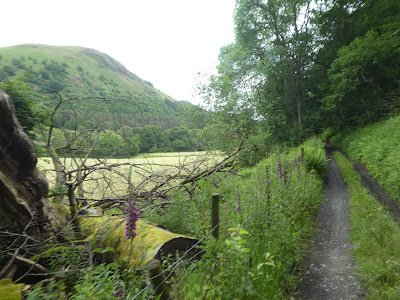
Along the road as it undulated beside the river, before angling away (only the (no public access) disused railway line continued beside the river)
When the road ended it changed into a gravel path that climbed up beside the national trust area below Trembyd (I had been up there on a previous visit)
Leaving the woods and still on the track, now dropping slightly. Jacket off once again.
The track eventually dropped to be closer to the river and moved alongside pasture fields
The track came to an end when it met a back road and once again it left the course of the river and turned into the hills. I did stop for some sustenance before the climb as I was beginning to feel the distance walked.
When the back road turned further uphill the route took to the sheep pastures and crossed through several fields.
Across to the buildings of Tyln-y-coed and the first views down to Newbridge.
Across the meadow in front of the house and back into the sheep pastures leading to a stream crossing at The wern - a big overgrown and wet section before coming out onto the back road opposite the field centre. Jacket back on for the final time .. I was really feeling the distance now and was glad that it only remained to walk down this road to B4358 then across the bridge over the river to get to Newbridge. I chose to go through the chapel graveyard to the main road (A470) so I could pop into the shop for ice cream and an orange. Back at Steph's to finally take my boots off and dry out properly.


