It was overcast today, but still warm and I determined that a visit to the Selsey peninsular would be a good walk today. I planned to park in the RSPBA car park at Pagham Harbour, cross the road and through the estate to Highleigh. Then over the fields, through Batchmere and more fields to Birdham. Over the B2198 into the fields beyond and around down to East Wittering. Down to the coast and along the shingle to Bracklesham Bay, and around Medmerry nature reserve. The original plan was to keep going around to the caravan parks before coming backup to the Sewage work and hence to the car park.
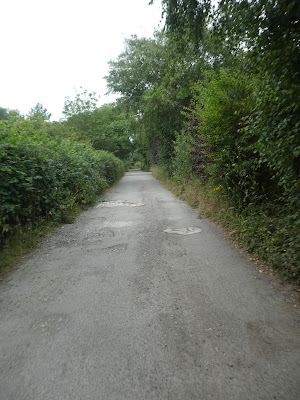
Leaving the car in the overflow car park by the exit to the B2145 and down the old road before turning along a lane passing houses and small glasshouses.A narrow connecting path led through to another back lane serving more nurseries. This lane turned sharp right
Still on the lane passing Keynor house to the back road of the same name. A path beside the nurseries wound through to Highleigh.
Over the road and down a very well maintained path (looked more like a garden than a public footpath) which came out onto a concrete track throguh wheat fields.
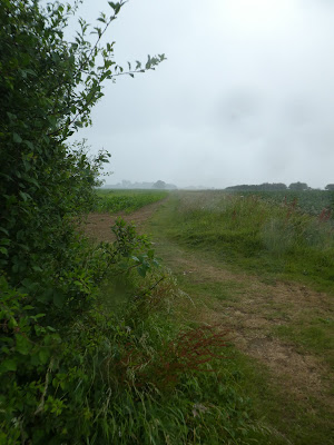
Still in the fields (now fallow) crossing west.
The last field was grass, leading to Almodington at Batchmere's farm. Over the back road and down a residential road between houses
The road ended at a small farm with lamas and sheep. The lamas were wary of Bertie and kept a wary eye (or several) on him.
Up to the B2198 and over it down the drive to Hundredsteddle farm. Following the farm track that cut back towards the B2198, and turning away down ram lane.
The lane went upto some houses and along a narrow track beside the first of them.
back in the fields (rape) and around a loop. While here it started to rain, lightly at first them much heavier.
After two sides of the fields we came down beside a house onto church farm lane for the third side.
The lane mutated into Stubcroft lane as it turned towards the coast.
The lane came into the town of East Wittering, where we zigzagged to the beach arriving at Billy's on the beach and its car park.
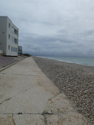
We crossed to the beach where the tide was in and only shingle to walk on. Bertie was struggling on the stones so I diverted onto Bracklesham drive before coming back at the end of the residential section.
Back on the beach, we followed the shingle bank passing holiday and caravan parks.
We dropped behind the shingle bank onto the track behind (it was easier and less stoney). We continued to the edge of the Medmerry Nature reserve
A sculpture was being formed at the edge of the reserve as we climbed the rampart bank that marked the boundary of the reserve.
Along the rampart that circled Easton Rife - that formed the most of the reserve.
Still on the rampart, where the path had more structure past Marsh barn.
Around the inland end of the reserve close to Easton farm. As we approached Greenwood farm permission to continue was blocked and we had to take to a diversion through the fields.
We followed the diversion zigzagging to Ham road as marked on the many map signs.
This diversion was actually cutting the end off our route and across to what I planned as the return direction. So through the fields on a wide farm track.
At Ham road we turned north and then down the driveway to Porthole farm. There we turned up past the Sewage works.
Beyond the works we walked through a ploughed field, and a narrow, overgrown path
This little used path came out onto a better formed track - I later found out that this was a cycle way aroudn the other side of the works and was the preferred route. Along the cycleway as it headed back to the RSPBA reserve (visible over the hedge)
Overhead at times during the day was the Goodwood spitfire - presumably taking joyriders out. Then back to the car park.


