I was up with Steph once again... So while she and Sue went around doing touristy things, I cadged a lift to Newtown, with the aim to walk over to Llanidloes and be picked up on their return. The alternative was to walk along the Severn Way on the other side of the river - slightly longer but flatter. I had picked out a route on the map that involved a contortion aroudn the roads to get to the bottom of the hills, along the ridge past the antennae and wind turbines to drop down to pick up Glyndwr's way, following it to Llanidloes. The morning was overcast with low cloud, but I hoped it would clear up when the sun had had time to burn it off.
They dropped me in the main car park (which happened to be where the Severn Way crossed the river on a suspension bridge) and I could pick up my chosen route behind the Hafan Yr Afon centreI picked up the riverside path through Dolerw park - I suspect this was the major flood plain for the river - as it wound alongside the river bank.
After the first section of pitched the path entered a second area where work on the path was going on and it was more like open fields - this was now Trehafren park. The path here climbed up to avoid a bend in the river.
Back down to the river bank and along a narrower strip of grassland.
Another bend in the river and I entered into Veynor park - yet more flood plain. This had a scruffy exit in the corner to a hidden underpass of the railway. Up the other side through a field to the main road.
Over the road and down the outside of an industrial park area (beside a container storage park). Through fields up tot he main town by-pass road.
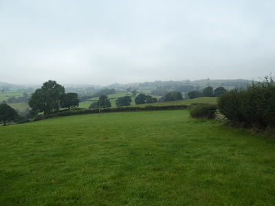
Under the Bypass and climbing up beside it on a path, with views to the hills at last. This was the beginning of the serpentine route through a myriad of fields and farm tracks working across to the edge of the hills.
Climbing up some steep fields after going around a caravan park. The path was more a tractor track through the grass,
The path led to Pen-y-Bryn farm which had a collection of other paths all meeting in the farm yard (without any signs) and dogs running around.
Taking a guess on the route and going through a number of farm gates I Went along some hedges heading for Ffridd farm. However after a while the path and the gates stopped aligning and I ended up deviating to find gates to cross fences. This bypassed the farm and ended on the farm driveway.
leaving the driveway onto a back road to pick u the path once again at a bend. No signs and several blocked gates needed to be bypassed through adjacent fields. Here the path was so over grown it was difficult to follow apart from some extra planks on the fence as it crossed into some woods.
Down to a stream and a dubious bridge with rotting planks, before climbing out the other side. Here I followed the wrong track on the map - a problem of not having a printed page, and set off across fields. The map showed a path, but there were no gates or stiles and I had to climb over several fences.
When I started climbing out along a track with views back to Newtown I realised my mistake and worked out a recovery route.
Luckily this was a better track and had defined gateways through the fences. It came out on a farm track leading to Cefn uchaf and back on the correct route.
Down the farm driveway and onto a back road - maybe around here it would be better to use these roads on the approaches. Then down a farm track leading to open fields and the beginning of the open fells.
UP through the open grass land following sheep tracks as no marked path. Once over the main rise I could then see into the cloud ahead the main ridge dissapearing.
Turning onto a farm track on the ridge, and following it up to the side of two large antennae fading in the clouds.
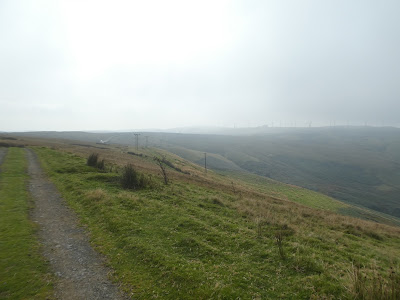
Further along the third antenna was just a shed. Passing this everything opened out with a misty view of the route forward.
A clearing in the cloud showed a slight dip before a steeper climb up the far side. This was the edge of the open access area, and I could see two tracks rising up the slope. the one I wanted was on the right (int he open access area), the one I was on led onto the left hand one.... there was a, much used, corner of a fence that linked the two. then up onto the fells proper.
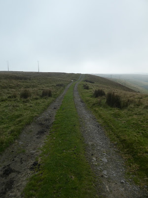
Following a gravel track along the ridge line until it dropped down beside Giants Grave (a dyke) and I had to find a way across the moorland to the wind turbines in front. This was using sheep tracks and compass bearings without an obvious route, Down in the valley was a shooting range blasting away.
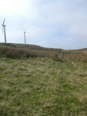
Moving up to and throguh the turbine field, trying to stay as close to the (not evident on the ground) path marked on the map, I came out onto another gravel track - the service road for the turbines. This followed the route I wanted to go and made walking easier.
Now well into the turbine field following the track meandering along the ridge line.
There was a gap in the turbines as the ridge dipped, however I stayed on the access track and followed it to the next area.. I was going to drop off the ridge from this other field of turbines back down to the valley below. I had to leave the track and go around the outside of the area as my path followed the fence.
A judicious bit of gate climbing (where there should have been access) brought me onto the track down the edge of the ridge. I followed the steep track as it descended taking most of the hairpins, although the marked track seemed to cut some corners down little gullies.
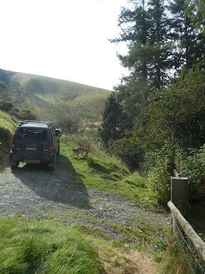
The track eased up after the main descent was done, then I followed it to the Rhiw-ysgygfarnog farm, then down the farm driveway to the back road serving it.
At the next farm - Tyn-y-pwll - there was supposed to be two paths up this field. It required a number of gates to get to from the farm then a steep climb up the grass to a fence at the edge of the wood. No gate so I climbed over the barbed wire and up through the woods. At the top of the woods it met the Glyndwr's way. However the path was not obvious and I ended up in a steep field trying to traverse before I could find a gap and get back on route.
Now on a better marked path I followed it down past a house renovation and then climbing again to a small saddle.
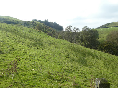
Over the saddle and into sheep fields, gradually descending.
A diagonal line across the fields and past a residential house dropping down past mown fields.
A turn along a hedge to reach a small valley with a descent down to and over a bridge before climbing back up the other side. I stopped here for a drink and a bite, and send a message to the others about where I was.
The path reached a driveway to Ashfield and Hengynwydd Fawr, which I followed up to the back road at Prospect farm.
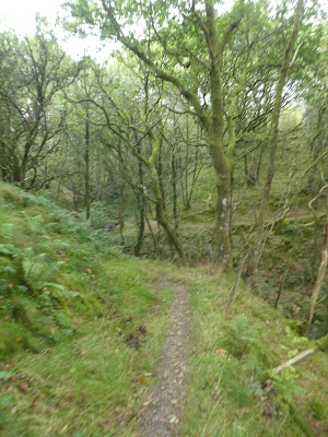
I left the back road after passing a caravan park, and into yet another farmyard. Luckily the path was well marked through the yard, but there were several dogs chasing me through it. The path entered a small wood hiding a stream with the usual steep descent and climb up the other side - I was getting very weary at this point and the climb was laboured.
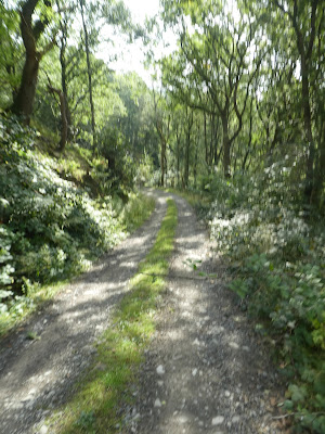
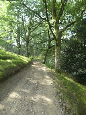
Now on a gravel track through the wood which changed into a back road after some buoldings. This led directly down to Llanidloes, and gently dropped through the woods.
On the outskirts of the town the road entered residential areas before cutting over the bypass road on a pedestrian bridge.
In the town I walked through to a main road leading past the town hall. I walked down trying to find a café still open - they all closed at 4pm and I had missed it by seconds (whether they would have served me this close to finishing time I doubt it anyway). Sue and Steph we only minutes away so I paused on a bench to wait before we headed back to the car and I could rest.


