In a more "normal" routine this week, however after the dry days last week, we now had the return of some rain (the girls both had snow, but down here in deepest darkest Sussex it was just rain!). It was not heavy, just drizzle really so I set off for a walk on the South Downs. I had a thought to park in the Wiston estate car park on the South Downs way just south of Washington, then follow the SDW over the tops towards Steyning. Cutting down to the edge of the village, and working through the rambling paths up to Ashurst. There turning west and following the paths to Ashington, before returning to the car park. All was a little thrown in the air when I got to the car park (luckily the barrier was open so I could get the van in and not have to use the side of the back road) the tops of the Downs were all in cloud so I determined to go the reverse way around and see if they cleared as the day went on.
So from the car park I walked down the driveway towards Elbourne house before it cut down to the back road into Washington village. Just past the start of the village I took a path that looped through the fields and re-joined the back road where it joined the A283Over the busy road and across a grass field to the trees opposite. Here the path curved aroudn the edge of a caravan site on the side of a stream
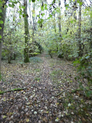
The path circumferenced a large sand extraction quarry, before snaking into some woods labelled as rock common (the path on the ground does not follow the map!)
Leaving the trees to go up the side of crop fields to Upper Chanton farm. The path continued down the side of some large barns.
Through another wood to reach the fields beyond.
These fields were soggy but free from large amounts of water. I also saw the first of several groups of deer - usually running away from me.
A set of steps led down to the A24, across it, and along the driveway opposite that led into the village of Ashington. Working across to the main street and then up it to the chapel and a path down the side, back towards the A24.
A footbridge over the dual carriageway and into the woods opposite.
Here things got a little more boggy (maybe the increased footfall from Ashington) and the walking was not quite so straight forward - it seemed the larger the track the more churned up it would be.
Down the side of Brownhill wood to a farm of the same name, where the path looped around before continuing over a field (slightly dryer)
Into a rough woodland with several foot bridges that led out to a grassy field.
Over the field and into more woodland that came to the edge of Jessops farm. Here the path divided and I took the northern route aroudn the farm buildings and down the driveway.
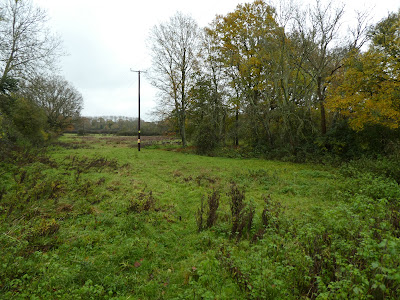
The path left the driveway and crossed some soggy fallow land and onto a driveway to Kings barn farm (definitely dryer)
Beyond the playing fields I crossed a large grass field below a huge new build house looking across to the south downs (still hidden in the mist)
The path crossed the B2135 and into a yard (I could just about make out the footpath sign on the side of the barn), then following a small stream along an area I assume was for pig(s)
The path went through an area of newly planted trees and over a shoulder. On the other side were the remains of several ponds and lots of sinks/ and other facilities - I would guess that in the summer it is an area for children's camps.
I crossed a very fallow field (more deer) where I got very wet from the taller grasses before escaping onto a driveway to Upper Northover farm. I left the driveway (as it extended to a newer residence) and followed the edge of a field down to a lower area.
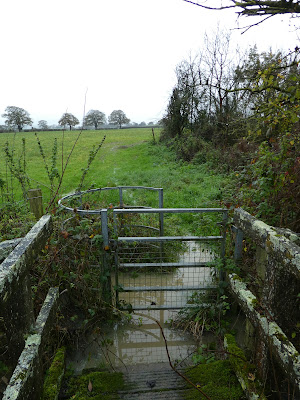
Here it was extremely boggy and I managed to stay on a slightly higher ridge through the field until it crossed two streams. The second one had a gate at each end of a bridge, and although the bridge was clear of water the gates were in a huge puddle. Luckily I got through without getting too wet.
After the bridge the path climbed beside a crop field - still boggy but not large puddles.
A zigzag along the side of several fields climbing up to the a high point above Huddlestone farm, then dropping down a driveway towards Natts cottages and leaving it through a field.
Around a huge grass field climbing gradually past Nash farm.
Still zigzagging the field edges (and more deer) to reach Staplefields.
Here I followed the path down to the edge of the A24, before following the bridleway beside it- there were some really wet bits to negotiate below the road). Over the dual carriageway, and containing along the bridleway until it met a back road (Horsham road). I followed the road up to a school, before taking a track opposite it along the side of a harvested sweetcorn field.
Around Chariton Court farm buildings (this is a permissive access route) and onto a bridleway heading up to the downs ridge. This bridleway had a sign indicating it was closed, however a nice man huddled in a van at the bottom allowed me to go up it - they were not working due to the weather!
Part way up is a new down land initiative.
The bridleway climbed steadily up the ramp reaching the main ridge above. The trees hid the fact that I was climbing into the mist.
Up on the ridge and in the mist I joined onto the SDW
Following the SDW climbing steadily up to Chantonbury Ring appearing out of the mist in full spectral mood.
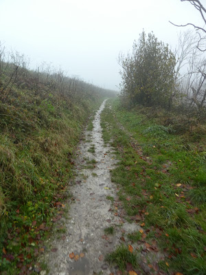
Then it was down the track - I avoided the more slippy direct route - as it dropped down and out of the mist.
The track led directly back to the van and a chance to get out of wet clothes and soaked boots.


