The fog of previous days had disappeared and replaced by overcast clouds and a strong wind. I Chose a route up on the South Down, that I hoped to blow away the cobwebs. The aim was to park in the little car park off the roundabout on the A283 just south of Upper Beeding, then head up the South Downs way to Truleigh Hill, and Edburton Hill. Then down the track to Mile oak (suburb of Shoreham), until just before the A27 and climbing over Southwick hill and continuing across the slopes to Mossy Bottom and Erringham farm. Following the footpath around Mill Hill and down across the A27 on the road, before cutting under the cloverleaf to the river Adur and the downs link path. Back tot eh car park up the river path of the Downs link depending on fitness, and mud status.
The car park was almost empty when I arrived (I had an alternative if the travellers were still in occupation) and I was soon climbing up the SDW on the increasing gradient to meet the back road at the quarry car park.
Along the access road for the YHA and the radio masts on Truleigh Hill, where it mutates into a gravel farm track.
Down the far side to the view point in the hanging valley between the two hills.
Climbing up the track to Edburton Hill - the map showed a path on the far side of the fence, but in reality this was not easy to find, so I followed the SDW to the top of the hill. There is a series of mounds and ditches here (Motte & Bailey remains). There are good views both North and South from here.
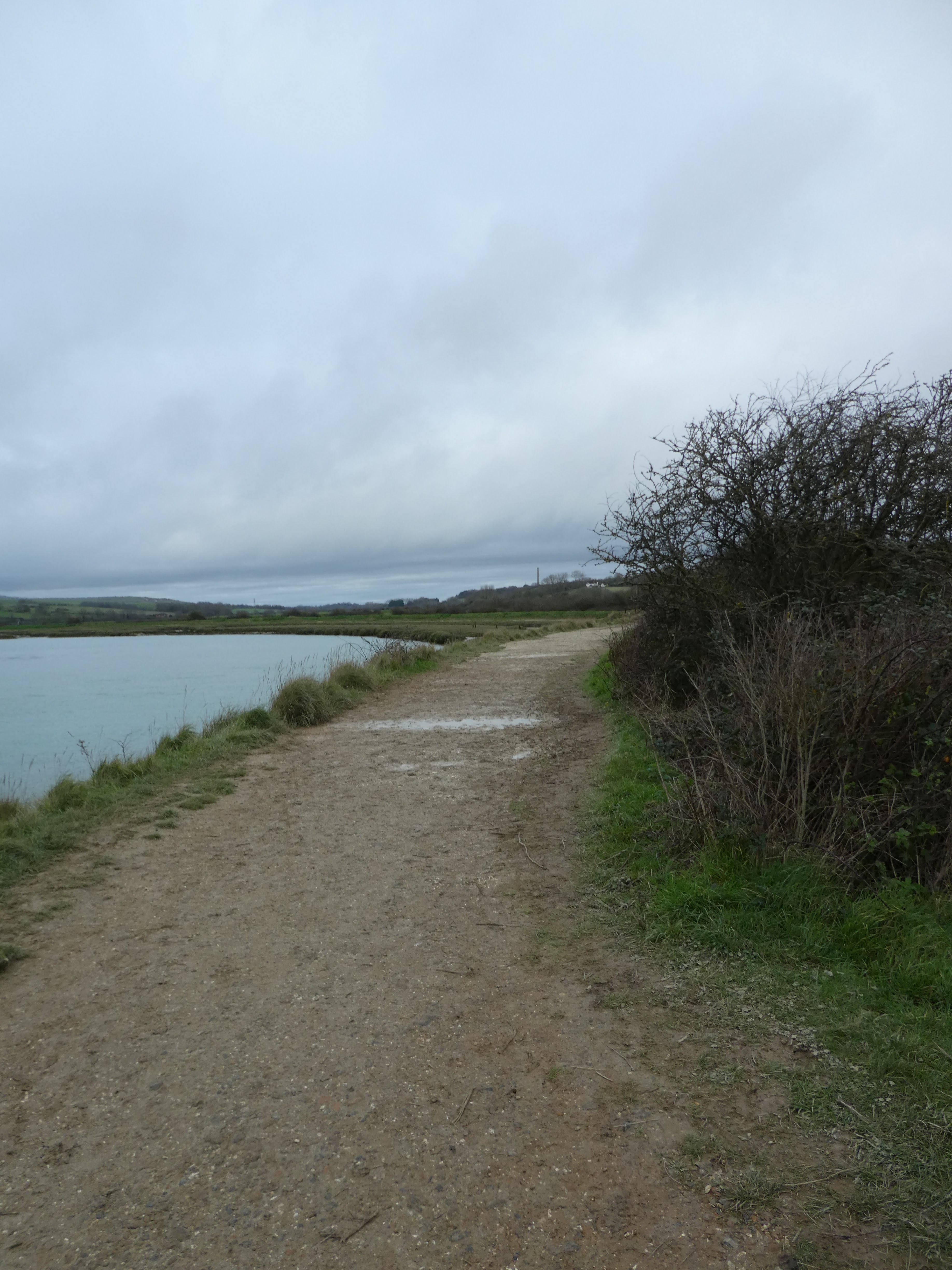
The path down to the valley where a number of tracks meet was easy to find (it even had a stile over the fence). I followed the farm track south to the medieval village of Perching (no visible signs left on the surface)
Continuing on the farm track along the curving valley base through Summers Deane and Hazelholt bottom.
The track curved around the end of the slope ahead and across Whitelot Bottom to the base of a second rib above Mileoak barn.
I continued straight up the slope ahead (there is a less steep track that contours around the end of the rib!) Then meandering through the gorse and grass slopes above to a point where it crosses the Monarch's Way and views over to the West.
Along the path heading west to Mossy Bottom. This path was the first really muddy track I had come to today and it did need some care.
From Mossy Bottom Barn the track followed the farm drive to Erringham farm, around the farm buildings (and prominent CCTV!), then continuing up to the mill hill back road.
A zigzag then onto the footpath (which was really a chewed up & muddy farm track) that led aroudn field boundaries to Old Erringham farm.
Through the farm yard and across the fields to head back to Mill hill lane.
The path climbed back up the Mill Hill nature reserve, then along the edge of the slopetehn aroudn a sheep field to get back to the lane for the crossing over the A27.
Beyond the bridge I descended down to the edge of the cloverleaf between the A27 and A283. The path came out onto the A283 rather then under the clover leaf above. This needed a short section along the busy A283 to find the path across to the river.
The path access was broken (but did still have the footpath sign) and then under the complex junction - where it was guess work where it went - until an exit onto the downs link path. The exit was overgrown and I climbed a gate in preference.
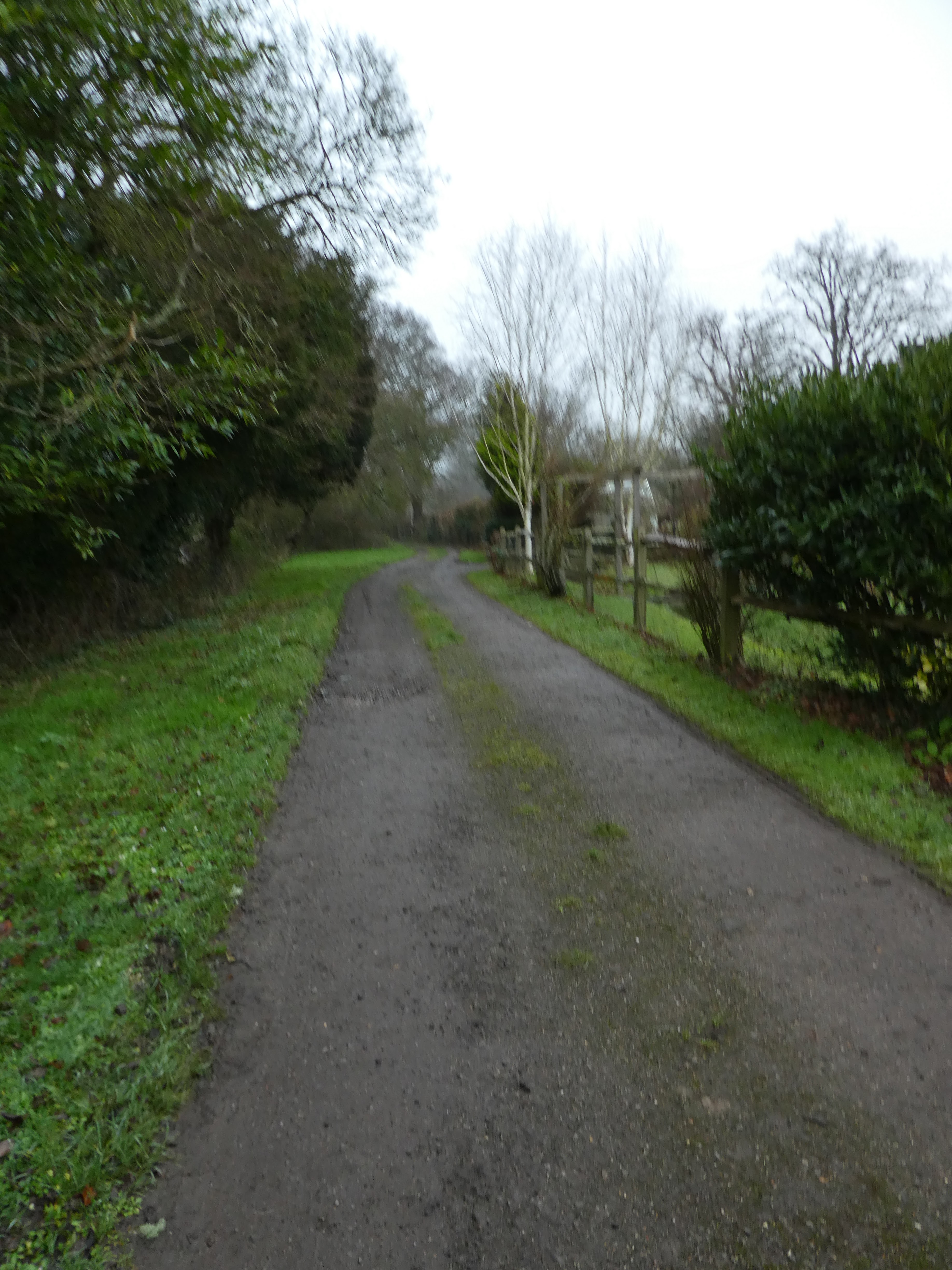
I left the Downs link and followed the river path - it was relatively dry, with a lot of grass cover. Following the serpentine river past Lancing college
Past the old quarry where the river path and the Downs link re-join.
Finally up to the footbridge (where the Downs link peels away) and re-joining the SDW up tot eh A283 and back to the car park.