Still overcast and with moisture in the air, but no real precipitation, and low cloud/ mist fully pervasive. I chose to do a loop starting at the Peasmarsh Park & ride down the canal to Godalming, and on following the Wey river. Leaving it to cut up through Hurtmore and Compton to the North Downs. Along the top of the ridge to the edge of Guildford, before dropping to the canal and back to the car park.
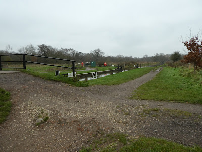
I parked at the end of the Park & ride and after a circuit of the car park looking for a southern exit, came back and out the northern one. Along the side of the main railway tracks to the footbridge over it. along the path to the old railway track, and after looking of the track across the flood plain I gave up as it was flooded and returned to the old rail track.Along the old rail track as it curved around and under the A248, dropping down to the canal to follow the towpath. Past the overflowing lock below Peasmarsh.
Past the pill box in the common area opposite Broadwater park. Continuing on the towpath as it approached Farncombe.
Across the very soggy Lammas Lands (it might have been dryer to continue on the towpath!). Over the A3100 between the two churches (one is now a shop) and into the Godalming park area
Through the park on the walkways to Borough Road at the other end. A short section on the pavement and under the main rail line.
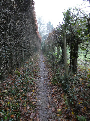
Leaving the back road and into the wild area beside the river Wey. The path curved away from the river and along an overgrown area behind a row of houses (Peperharow road). Up a short slope to reach the end of the road
Into Milton Wood on an undulating path on the slope above the river. The path ended at a large house where it merged into the driveway.
Leaving the driveway to follow a bridleway climbing up to Hurtmore and curving around to cross Hurtmore road and Priorsfield road.
Passing Foxhanger cottage to follow the edge of a large open field area. Here I got a view of the misty slopes ahead.
Dropping down the edge of this field and past The grange into Compton Common. a zigzag along the back roads through the common
Down the lane passing the Withies pub (where I have had many excellent meals, but not today). Followign the lane on to Polstead lane turning to head for the slopes.
Past Polstead Manor, climbing a narrow twitten to cross the North Downs Way on a saddle.
Ahead to climb up to the ridge alongside Sunnydown and Compton Heights.
Along the track way on the top of the ridge (some 50m higher than the NDW). Along past the ariels and Henley Fort (now a outdoor education centre)
I then escaped into a field beside the lane on a path aroudn the edge of a crop field. The path dropped down the edge of the residential area and onto Guildown road, then Chestnut Avenue which curved away and back to the A3100.
Over the major road and into the park around the remains of St Catherine's chapel - I had been past it many times but never gone up to have a look.
The ruins of the chapel on the top of the hill.
back to pick up Ferry Lane over the rail line as it disappeared into the tunnel. Down steeply to the canal
Finally along the towpath past St. Catherine's lock, then down to the car park after crossing under the rail line yet again.
I had past this sign post several time, but this time took time to read it.


