We have a named storm coming in later in the week so I wanted to make the most of a supposedly dry day. The forecast was for cloud cover and remaining above freezing (although only just) and rain coming in later. The ground was still damp from an overnight rain.
I planned a walk starting at the car park just outside Upper Beeding, following the south downs way up toward Truleigh Hill, dropping down again parallel to the A2037 up to Oreham common, and further to Henfield common. From here crossing to Blackstone, then down to Woodmancote, and still heading south down to the bottom of the downs at Edburton. Up to Edburton hill and back along the SDW to the car park past Truleigh Hill.
I parked in the small car park beside the roundabout - it was nearly full with overnighters, and a couple of motor factor vans doing a double shuffle. Starting up the SDW and climbing the steep path as it disappeared into the clouds. The path opened out into a field before reaching the top car park, then along the road towards the youth Hostel.
Just before the YHA I turned off the SDW and through a grass field to a path that cut across the steep northern side of the downs.
Then the path turned directly down the steep slope and even steeper section until it came out opposite Tottington manor farm. A zigzag through the farm yard onto the drive way to the farm cottages. I had managed so far without gloves, however I gave in at this point as the light wind was cutting through everything.
Beyond the cottages the drive mutated into a track then into Longlands wood. Here the track became a forest path, moving through the trees and into a grass field. The path ended up at South Tottington sands farm where a complex series of junctions arranged around the farmyard.
Out the northern side of the farmyard into a grass field dropping down to a stream. Here the path continued up the side of the woods mill reserve, to Little Oreham farm. Then along the driveway to Horn lane and Oreham common.
Along the lane to pick up a path along the edge of the common. This path was little used and meandered around several ponds before coming out onto the pitch and putt golf course.
Over the golf course and down the side of the club house and into the back of Manfield Business Park.
Last time I had been here I could not find the path through the horse paddocks, but this time around it was easier. Out onto the side of A2037 following it to a drive and path that dropped down to another stream.
Up a field to a farm track leading to Holedean farm, then up its drive to the A281.
Over the road into Henfield common (this end was all playing fields) crossing the grass and into the trees opposite
Through Swains farm and around a horse paddock - soggy underfoot.
The path led to a byway in woods and a field ending on Furners lane.
Along the lane to its end at Bilsborough Barn, then continuing on the ancient trackway to Blackstone hamlet. Over the lane and aroudn the edge of field behind the houses.
Turning south along a second ancient trackway parallel to Blackstone Lane.
Back towards the lane on a farm track. On the other side of the lane was a path, however I baled out from this half way along as it was very muddy and crossed several large puddles.
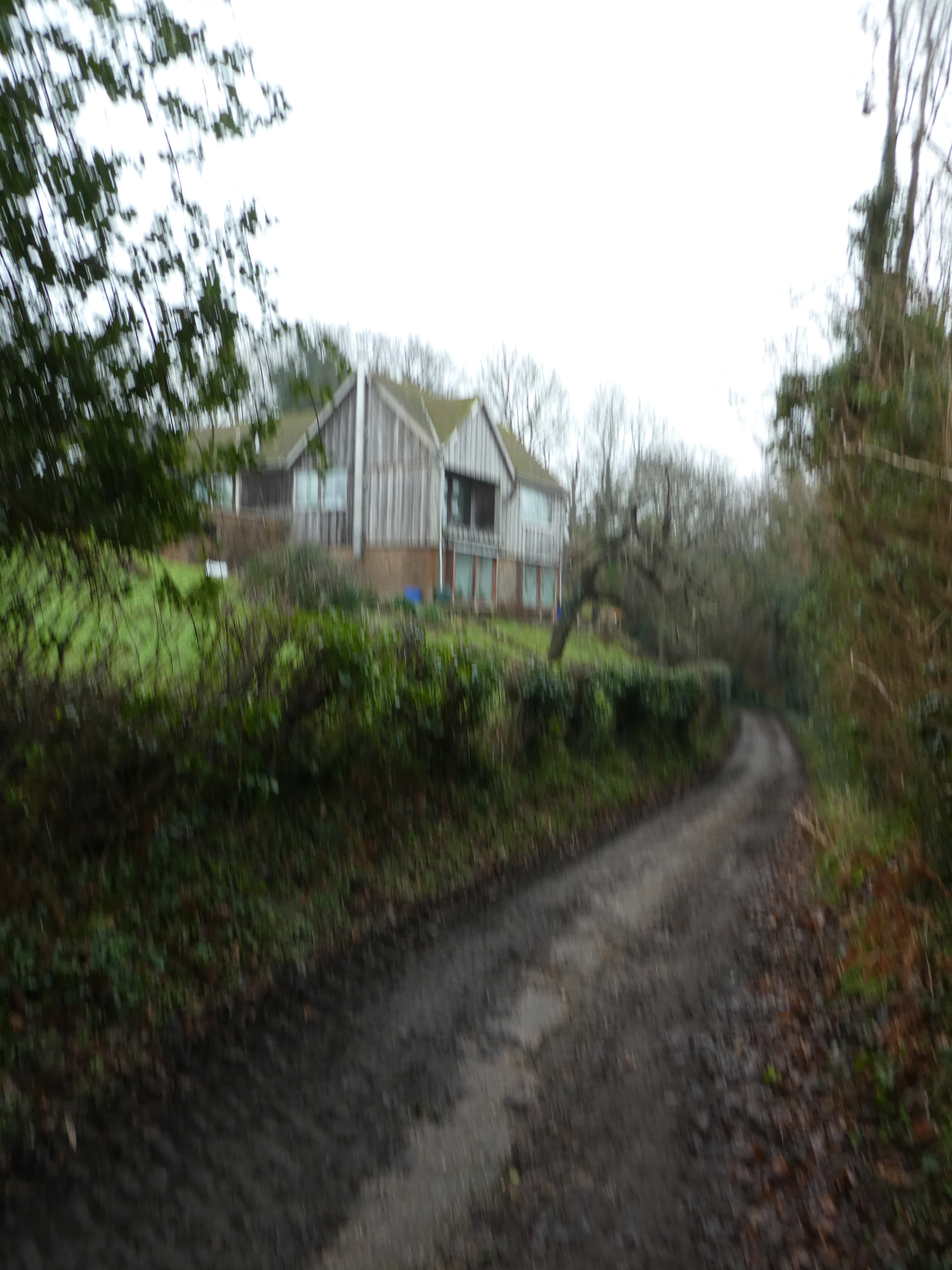
Back on the lane, following it to cross the A281 in the village of Woodmancote. Opposite the lane was a large garish house - Fairyland.
Continuing south down Horn lane _ there was a raised pavement path - turning onto Bramlands lane, following this until it turned sharply away.
From the turning the path continued on a gravel track to a footbridge. Over the bridge and onto a soggy path through the fields.
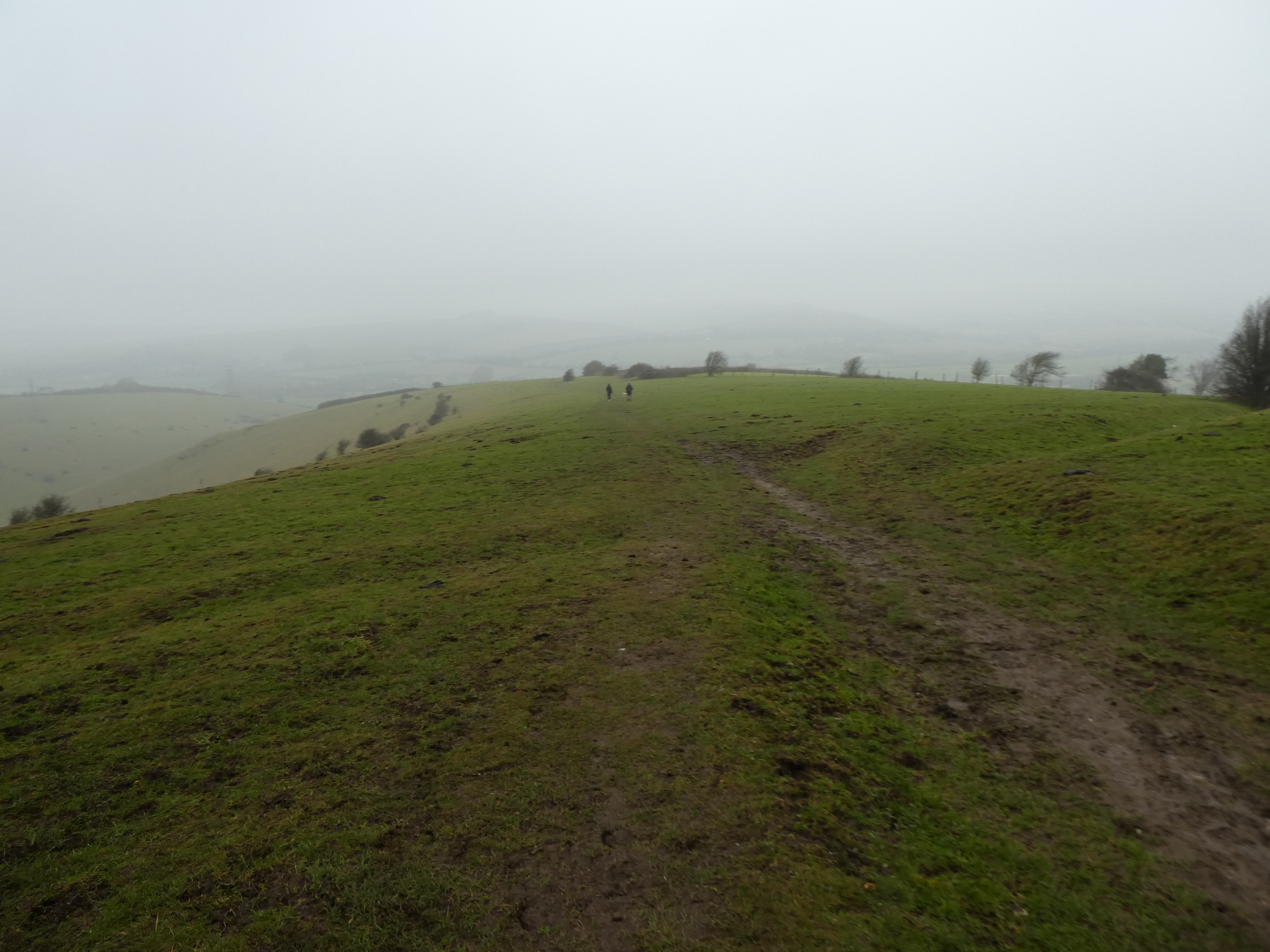
The path was muddy, but not completely churned up. Beyond the woods it opened up so the downs were just visible in the mist.
A zigzag onto a farm track and along the soggy path to reach Edburton.
Over the lane and onto a bridleway heading to the bottom of the downs slopes. Then climbing steeply (with a single zigzag) to the skyline above.
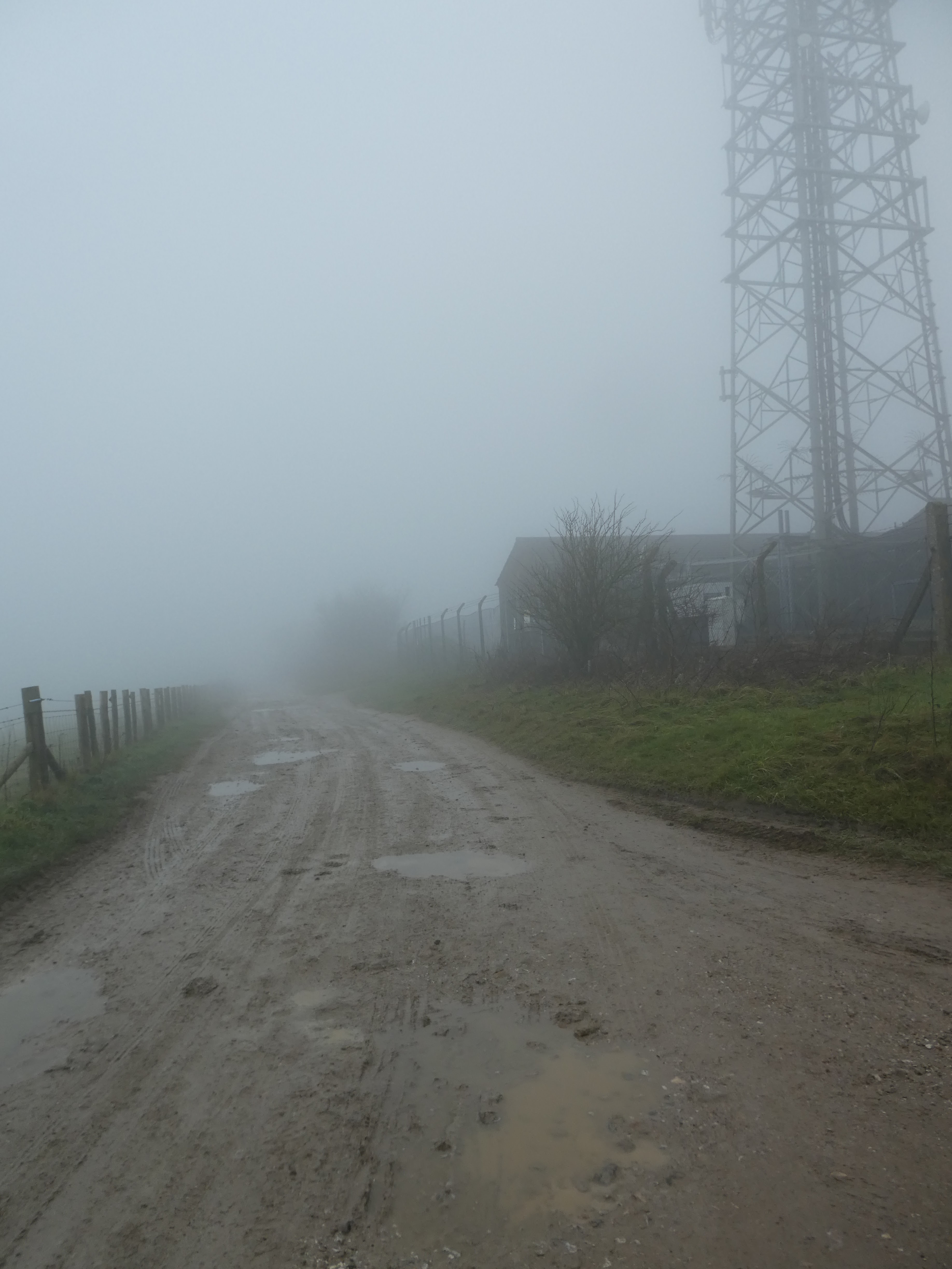
Into the mist as it closed around the path, where it joined the SDW. Next along the SDW climbing up to Truleigh Hill.
Past the radio masts on the top of the hill then along the road past the YHA and on to the top car park. Then dropping down through the top field coming out of the mist.
Down the steep slope looking down to the river Adur (and the car park). down on the road and along to the car park.