The last time I walked around Selborne, I had seen signs for Writers
Way, and determined to go around it one day as it was within my capabilities
for a single day. I also determined to start at Selborne since this shortened
the distance to a car park, and avoid the tail to Jane Austin's house.
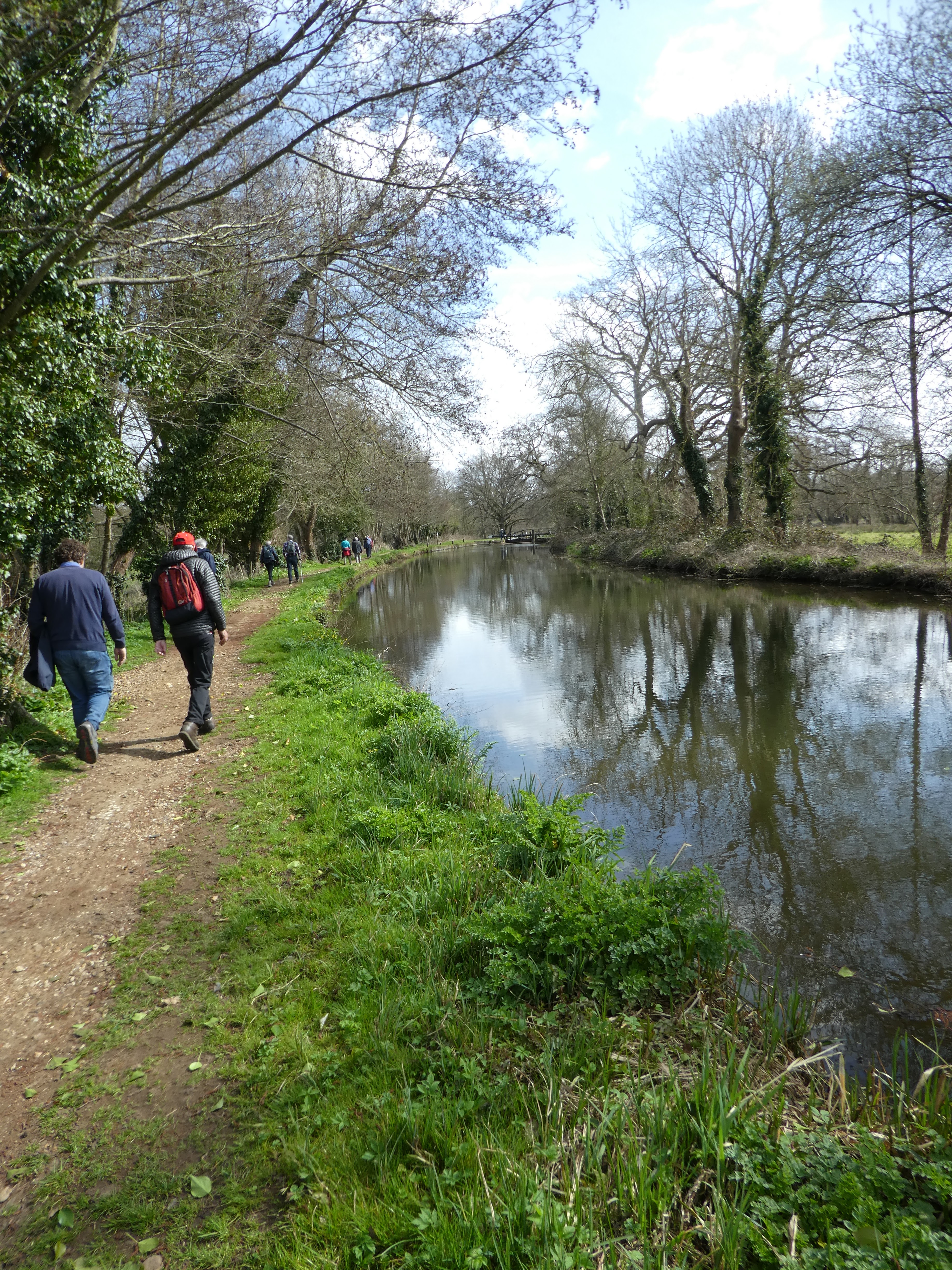
Parking in the car park behind the Selborne Arms, and walked along the main street to a lane dropping down to a small stream. Behind a small building I crossed over to join the Walkers way where it crossed into Long Lythe NT area.
Through the NT area on a wide track passing a tree with a bite taken out of it.
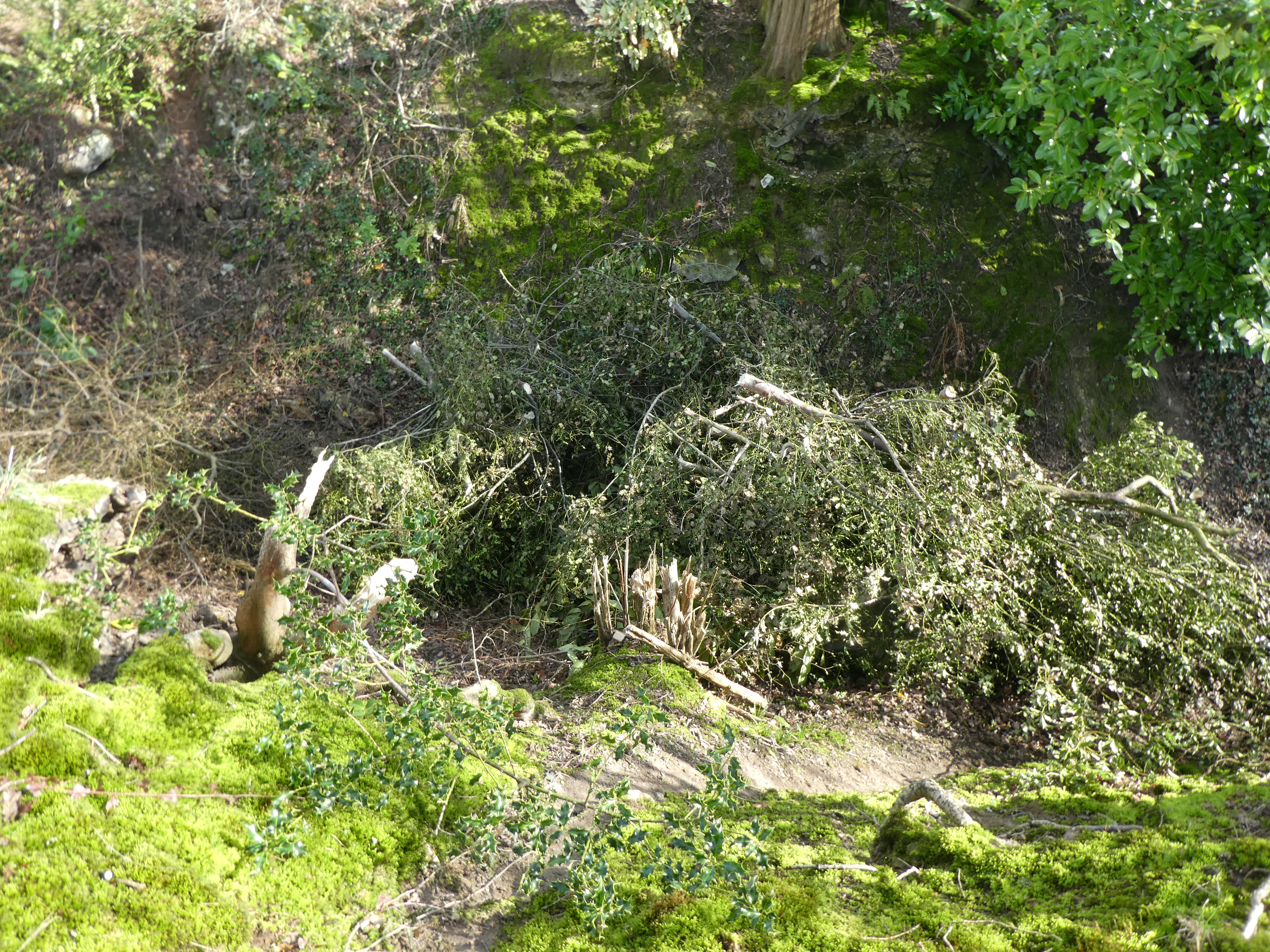
At the end of the NT area the path moved through the branches of a fallen tree and changed direction through a couple of sheep fields.
Into Coombe wood where the path joined a farm track. this crossed a further grass field and then joined the Hangers way around Wick Hill Hanger,
This joined a back road at Candovers, where I left Hangers way and followed the road until a path climbed the side bank via a steep slope.
This ended at a huge field above and the path followed the edge of the field above the back road in the dip. Just before Hartley pond this path dropped back onto the road, and I crossed over into the field on the otherside.
This path avoided following the road around the opposite side of the church and through a field
Avoiding the same mistake as last time I was here I cut around the hedge and across the grass to re-join the Writers way on the road through West Worldham.
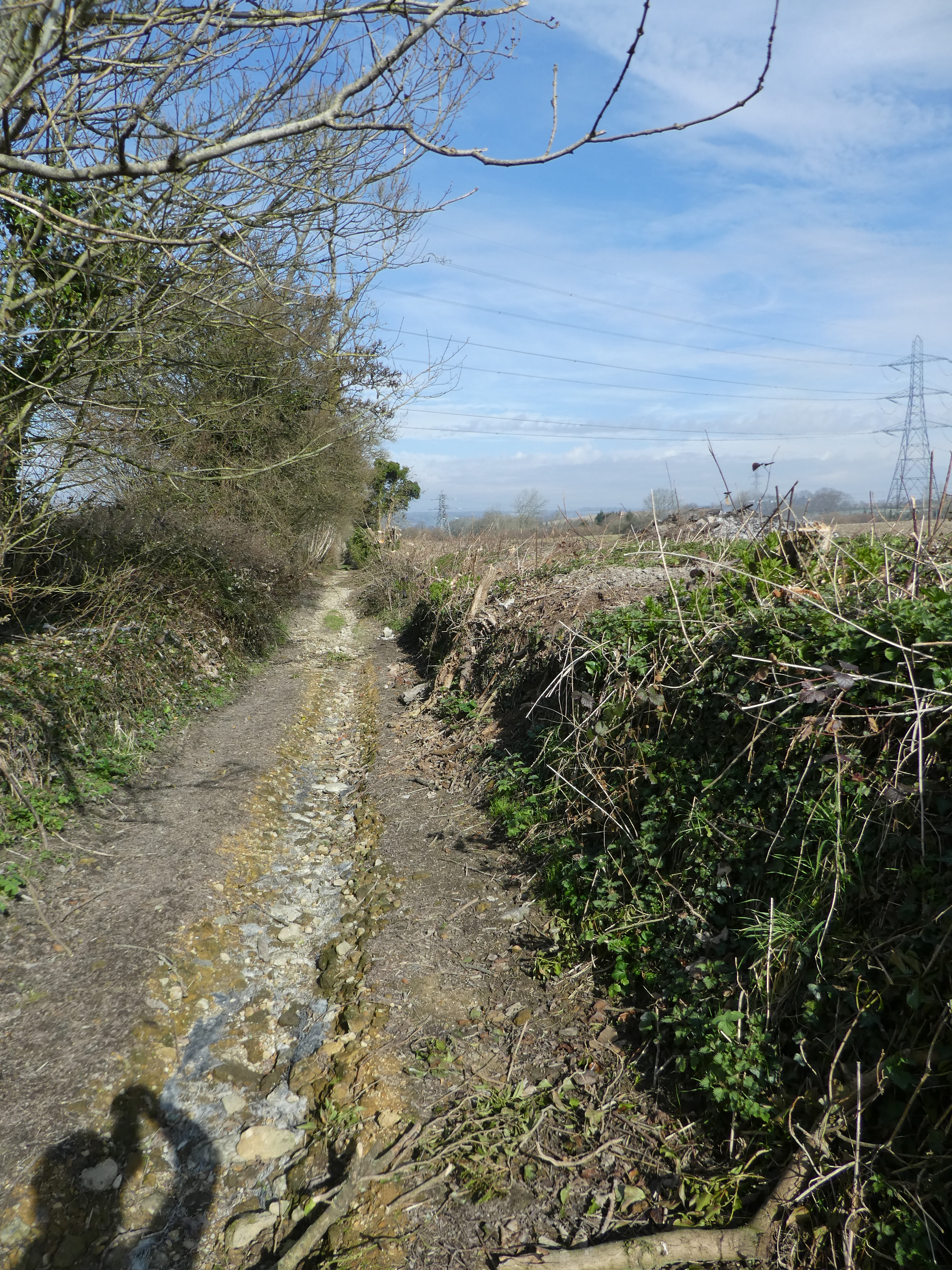
Just past Manor farm I joined the end of a by way - Water lane.
There were signs at the start of the lane that had been removed - presumably stating the path was closed. The lane was blocked by the debris from hedge cleaning. I tried along one bank for a while then the track before I could escape into the field beside it
The field definitely made for easier walking and I did not have to cross nay fences. Eventually another path led back to the lane where they had completed the clean-up and I re-joined it.
A parallel path jumped out of the lane to follow the edge of Worldham Park golf course.
At the end of the golf course, I re-joined the lane and crossed another lane before climbing up to the edge of the A31.
On the other side of the major road, the lane continued up to the edge of Alton.
I followed a path that circumvented the residential area past Windmill hill
Continuing along the path to the edge of the parkland and picking up a bridleway that snaked its way into the town.
The path merged onto a road that crossed the railway line (no trains today on this steam line). This met the main street which I followed westwards.
At an open grassy area called "The Butts" I veered away from the road and over the A32. On the continuing back road past the hospital and several sports buildings. Here the Writers way signs got confusing and I had a couple of false trails before finding my way out of the car parks and along the edge of the railway line.
Along the edge of the final sports field to its end and then a zigzag to get onto a bridle way that paralleled the railway line. This path passed through a long section of scrubby brush.
The brush gave way to a plantation on one side and a dirt track for auto sports on the other.
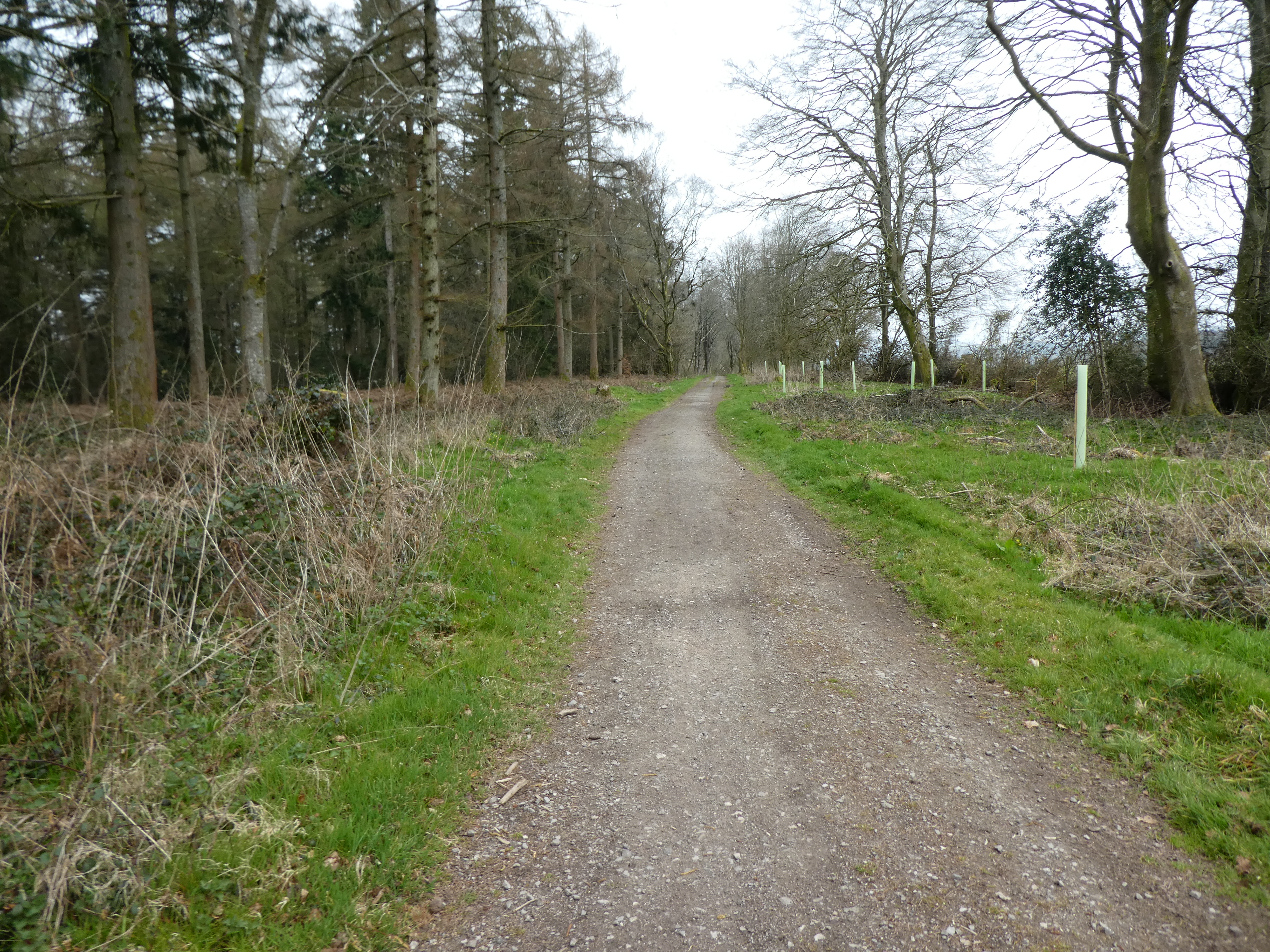
After Brickiln farm the path followed a farm track beside a plantation (I think this may be a forestry commission area, with its own paths)
The track continued along the edge of Eighteen acre plantation and also a reservoir and water tower.
At teh edge of Four Marks the track joined a back road beside a forestry Commission car park and I turned towards the A31.
Over the A31 and onto a path through the residential areas hemmed in by fences on both sides.
The residential area path crossed a back road and moved into the woods on the far side. At a crossroads of tracks this mutated into a byway along the edge of the woods.
Joining St Swithun's Way I continued along the edge of the woods when it turned.
At the woodside farms (upper and lower) the path joined onto the driveways. these zigzagged across to the A32
Over the A32 and along another Byway (that looked more like a road before it broke to gravel further along). Into Farringdon and along the edge of the village. The path merged onto back roads before turning off to Hall farm.
Along the bridle way until a footpath crossing a grass field split off.
At the far side of the field I merged onto a farm track heading for Noar copse. Along the way there were two red kites wheeling around, but all my pictures showed just sky and clouds until one stopped int he trees.
At Noar copse then Noar plantation the path bent through the trees. This came out into a large field partially ploughed.
The path crossed the field, but part way across I dropped to the edge to avoid where it had been ploughed over. This joined a farm track as it followed the field edges to a back road.
A=long the back road passing a house on the side of a large pond (dammed stream). There was an intriguing rope bridge over the pond.
The back road ended up back into Selborne after several twists and turns. Finally along the main street passing Gilbert White's house and back to the pub before gaining the car park behind it.