One route that has been on the board for quite a while was the section of the Sussex Border Path between East Grinstead and Groombridge. This is a long stretch that I did not feel could be easily broken down, and was logically made sense since the return could be along the forest way - reclaimed railway trail. The border path loops along the border with Surrey and Kent, whereas the forest trail takes a more direct line. Having worked out the route, I chose to start at Forest Row as there was a free car park there, and walk along the forest way into East Grinstead to pick up the border path.
I got a slot in the 23 hour parking as I thought 6 might be a little short (and it was by twenty odd minutes). Then along the path past mid Sussex timber to pick up the old railway trail - this was more a road here than what I was expecting.
Along the trail to cross the A275, back on the trail on the far side (the bridge had been removed to facilitate a wider road). The trail into East Grinstead was very straightforward with limited views.
The trail ended back at the A275 opposite the Sackville school. I passed this along the side to meet the Border path along a side road through teh residential area.
The path left the road and crossed the edge of a recreational ground down to Ashplats wood entering the wood at a stream crossing and a myriad of paths heading in all directions.
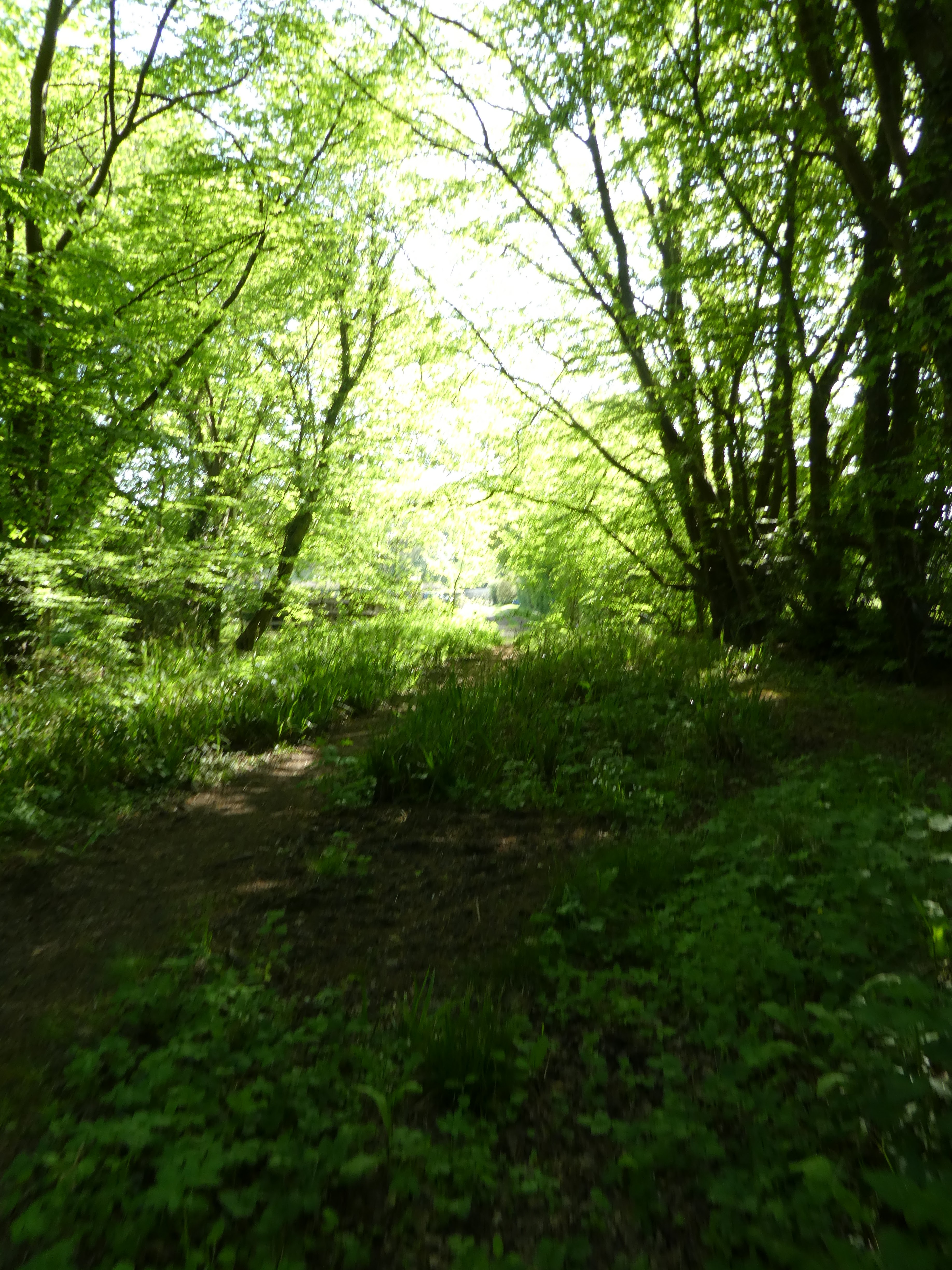
Eventually finding the right path along the edge of the wood heading up through the bluebells.
A new housing estate bounded the top of the wood and I used the back road to reach Holtye road (A264). Over this and down beside Larches farm between horse paddocks.
Through more bluebells in Blackhatch wood and into the grass fields beyond.
The path dropped down to a farm track leading ot Old Surrey Hall. Thennup the driveway heading for the back road beside Two houses.
Another farm track led to a cottage and a gate into the woods behind it. A sharp turn and through a field to the drive to Upper Stonehurst farm
Just before the farm the path heads off over a grass field to a second one.
A final narrow path leads up to the lane beside Old Lodge farm. Along the lane to Dry Hill farm.
After the farm the track goes around the edge of Dry Hill fort - really all that is left is a dirt bank.
The path meanders through Jules wood and beside Minepit wood.
Straight across a couple of sheep fields (with lambs)
Through Clay's wood and further grass fields to a band of woods.
The woods (and more bluebells) lead up beside Waystrode manor
Into the outskirts of Cowden and down past the church to the town allotments.
At the bottom of the slope the path follows the edge of a golf course and around a hole with a guardian stag
Along the stream through the fields - a first crop field for the day.
A large farm house - Sussex house farm, back over the stream and along a field edge to the B2026
Over the road and between two horse paddocks and some narrow paths led to a bigger field.
A complex navigation point where the paths crisscrossed the streams and through narrow paths as well as the edge of ploughed fields
Finally the path followed the edge of the main railway line before crossing under it.
More grass fields in the bottom of a wide valley angling away from the railway.
Passing Hobbs Hill farm and along side a second golf course. Over where the course climbed a hill and to a sharp turn in the path.
A bit weird as the path goes aroudn the outside edge of a grass field via two bridges. Climbing up to Willett's farm, and the first path closure - due to river banks collapsing.
The alternative was to follow the farm drive down to Teasley Mead. This went over the main railway line by a bridge.
Through the village to the A264, and along it for a short distance.
Then a path to re-join the border path after it had cross the railway, just before meeting the A264 where it crossed the river Medway and the railway.
Along the road into Ashurst until I could take the station road. The station car park was deserted today, although there were two people waiting for a train.
Out the back of the car par and up a lane to Jessup's farm, where I cut the corner over a grass field to reach a farm lane.
Along the lane and through a cow field - calm as no bullocks.
Joining the Wealdway to go down to Woodland wood and under the railway for the last time. then across grass fields to a bridge where the Wealdway peeled off and the border path went another way.
I continued across a final field to the forest way in the trees. The railway trail was similar to earlier in the day
Along this tree lined tunnel past Balls Green and Withyham.
Over the B2026 (again on the way back) at Hartfield, where a sign showed the extent of the forest way.
More of the same except more crowds as I approached Forest Row
Finally leaving the forest way crossing a football pitch - very rutted and worn to a play area coming out opposite the car park. 35kms... probably a bit far for a stroll!