31 December 2020

2020 Annual Overview

This shows a summary of the longer walks partaken of this year. It does not include the daily dog walks, nor the local repetitive walks (for example the Saturday Bread Run, or the Surgery Visits, etc.)

The first part of the year were the annual ski trips, then a gap while Lock Down fully kicked in then the local walks started after I retired and continued for the rest of the year.

Due to "Lock Down" the day trips were restricted to walks from home then we roamed a little further afield but still within an hour of home. When Lock Down was relaxed closer to Christmas we made a short trip further afield.


26 December 2020

Circuit, New Forest


After many years of visiting my mother I final got around to meeting up with Karen and Les. We had arranged a "socially distanced" outdoor meeting and go for a walk on the forest.

Parking up Sue, Step, Karen Les, Amy and two dogs set off for an exploration into the forest ...  really a heathland - first off across the broad heath before dropping down to a river. Back up to some red sand around an enclosure and down again to a river - bigger this time and faster flowing.

Taking the track from here up again onto the heath until we reached the main enclosure near where we started, and the final climb back up to the van.

A late lunch in the van and a drive back to the house, before the evening rain.

24 December 2020

Drove circuit, Bishopstone

The sun had come out around the rain, even the woodpecker was hunting for ants in the lawn again. The puddles were also disappearing (for the moment).

The ridge to the south looked inviting in the sun, so Sue and I chose to do a circuit that way, using the drove lanes.

The river was full and flowing very fast, but still under the bridge.
Cutting behind the "new" houses formed out of the old flint farmhouse, and up the track curving behind, and along to the ridge above.
The track turned into the roman road and headed upwards along a beech tree avenue.

Looking down to the village

Once up on the ridge everything flattened off and opened out into large fields. We headed off along the field edges (unfortunately missing a turn but caught up again at the end of the next field.
Eventually the path across the fields came out on the drove lane ... this started out as a gravel track with a few puddles, but soon got very badly cut up by the off road enthusiasts creating deep mud swamps. However it was easy to escape into the next door field for a less cut up path.
The option now was to continue on the drove road - did not look like it was improving, or cutting up a farm drive heading over to Broad Chalke.
The straight lane ended up at a farm and the path continued straight on, and back into the fields.
The drop back into the valley was quite steep, before coming out on the broad flood plain fields at the bottom.

We followed the path beside the river back to Bishopstone and home.

20 December 2020

Chanctonbury and Cissbury Rings, South Downs

 Rain was forecast everyday around this weekend, so taking the better of all the days we headed out for a couple of shorter walks in the same area - both Neolithic in origin. We parked at a small place on the South Downs Way just outside Washington - up a single track. Common for today, as we arrived the rain started .. not vicious but enough to warrant rain covers.

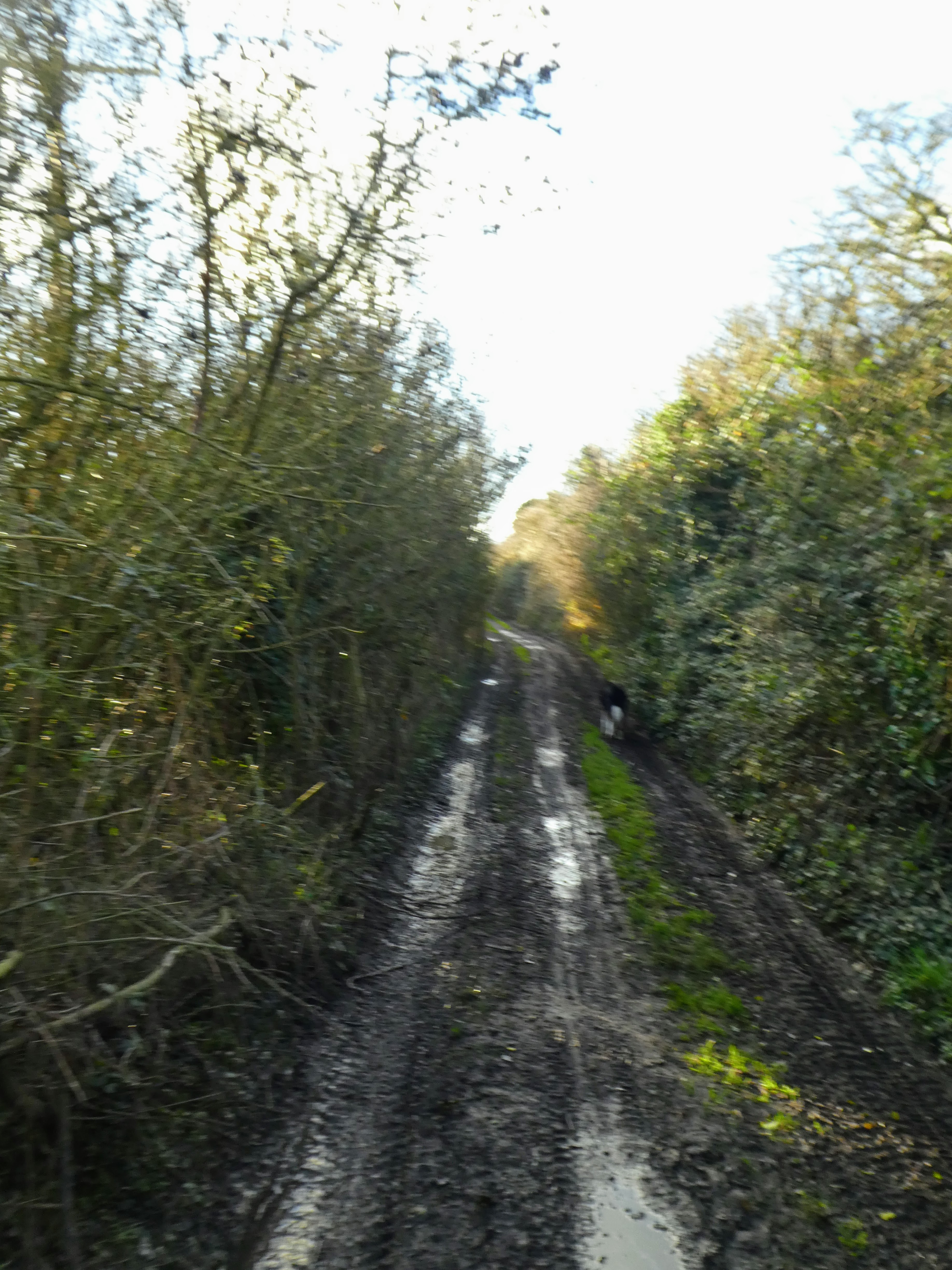
Initially on a continuation of the road, then on a flint based track with a steady incline 
The path divided here a little...  a direct route through some chalk quarries, and a less strenuous one following the vehicle track. We would come down the direct route, but continued up the steady gradient.

The sun was now out, giving us views across to the west and towards Amberly.
Looking East the ring came into view as a knot of trees on the ridgeline.  As we came up onto the ridge line we met a reinforced wind, but also views to the North across the Weald.
The Ring had a main entrance at the top and lead into the copse of beech trees ..  sentinels in the winter, but would be more daunting once covered in leaves.
Just to get the complete picture we crossed over to the high points on both sides of the ring the eastern one being marked by an unpicturesque bowser tank.
Another large black cloud had now settled above us and as we descended through the chalk pits it started raining once more..  apart from making the grass and chalk pebble slippery it was not heavy enough to get a full soaking however grateful to be back at the van.

From here we followed the road South to find another car park close to Cissbury ring. ..  there are several, however we managed to find a convenient place next to the recreation ground on the road hat heads up to some unmarked parking just under the ring. This would be a good point to stop for a walk linking the two rings, in future.
The road led up at another constant gradient, almost deja-vu from this morning, except this was metalled.

Once up at the pasture level we could see the outline of the hill fort rising above the fields - much bigger than Chanctonbury.

The complete picture as the sun broke through again.

At the top of the ridge leading from the hill fort was an unofficial parking spot - to be remembered for future walks, and the main track lead off on a diagonal run across the ramparts up to the high point where the original entrance way still stood.
Following the chalk path through the gate and up the inner rampart to the left and then off around the boundary ...  showing great views down to Worthing and the sea with the sun reflecting off the rain puddles.

Around the ramparts - slightly slippy in places but not deep mud due to the chalk. then to the south gateway and the path down to the main carpark, and off up the other side.
looking south east to the second carpark and Findon town. As well as over towards Amberly and the continuation of the South Downs way

We slipped off the ramparts and cut back across the centre of the hill fort, but only after some views of the Chanctonbury fort in the distance - the tress make it so distinctive.
the highest point inside was marked with a trig point.
Back down the access track to the car parking and then the road. the sun now shining properly, until we get to the van and it started raining once more ... as if a summary of the day.

Two shorter walks both of almost identical length and time. 

12 December 2020

Bramber Castle Circuit, South Downs

 Saturday was to be the better day this weekend so we headed off to Bramber for a wander around the Adur valley. The aim was to park in the Bramber castle parking area (using our English Heritage permit), however at first glance the way was not obvious and we ended up in the back of the village on single track roads. However, once back on the main road through the village we came across the carpark with some spaces still available - the advantages of being early in the morning, and after a croissant to prepare us we set off along the high street to the Bramber nature reserve footpath to the river. this passed an old house and gardens - St Mary's house open in the summer for visitors and is much more than it seems from the road.

The nature reserve was an area of wet lands .. and after the recent rain it was very wet ...  more wellington boot territory than walking boots, and we all got wet feet, but Bertie was enjoying splashing around.

This came out on the river bank ...  a raised berm on each side with a path on top...  very frequented and in the worn areas very muddy.

Following the river north(ish) until we came to a bridge which would take us over to the other side.

The path meandered along the bank of the river for the next section ...  the flood planes were mainly grassed over and with the occasional cow roaming around, much to Bertie's delight at the "all you can eat" buffet of juicy cow poo.
The only difficulties came at the gates/ styles where the concentration of traffic had made it extremely muddy.
A great surprise as we moved into a more fenced of area with sheep - there was a seal on the opposite bank basking in the sun ...  I guess it had made its way up the river from the sea.

Up towards Stretham manor and time for a change in scenery ...  turning East we cut across some fields to get to a lane, before turning North again then West to get back to the Downs link ...   the original route would have taken us further north but more wet fields awaited us there and it was time to seek drier territory on the old railway.

The old railway was still wet but definitely firmer underfoot, and we even found a convenient spot to stop for our lunch where we could sit in the dry, and out of the wind which had started to get a little stronger.

The downs link veers away from the old railway track as it moves into private farmland and follows the Wyckham farm access track which then turns into a tarmacked lane, as it gets closer to Bramber village.
As we came back into the village the lane seemed familiar ... this was where we had ended up earlier this morning looking for the carpark. ...  

leaving the downs link trail we followed a foot path around the back of the houses just above the river flood plain, which soon turned up onto the outer ramparts of the castle ..  a muddy affair with steep side ..  later we found out we could have dropped down to the ditch and up tot eh bailey walls above to get into the castle yard, but we followed the ramparts around to the main gatehouse entrance.
Sadly all that remains of the castle is one side of the main gatehouse, and a large bailey laid to lawn leading to a wooded motte rising up.
From here it was a short stroll back to the van in the carpark below, via the mediaeval church yard.