The weather was not brilliant, and as we arrived in the car park started a very heavy downpour, however as there were clear patches in the sky as well as not being too cold, we chose to get out and brave it, with rain macs ready.
The first section was back up tot eh south downs way, alongside the woods and the turnip field... although much slippery and muddy compared to last week.


Once on the south downs way it was back to the A29 across the open fields, and down a chalk track on the other side.
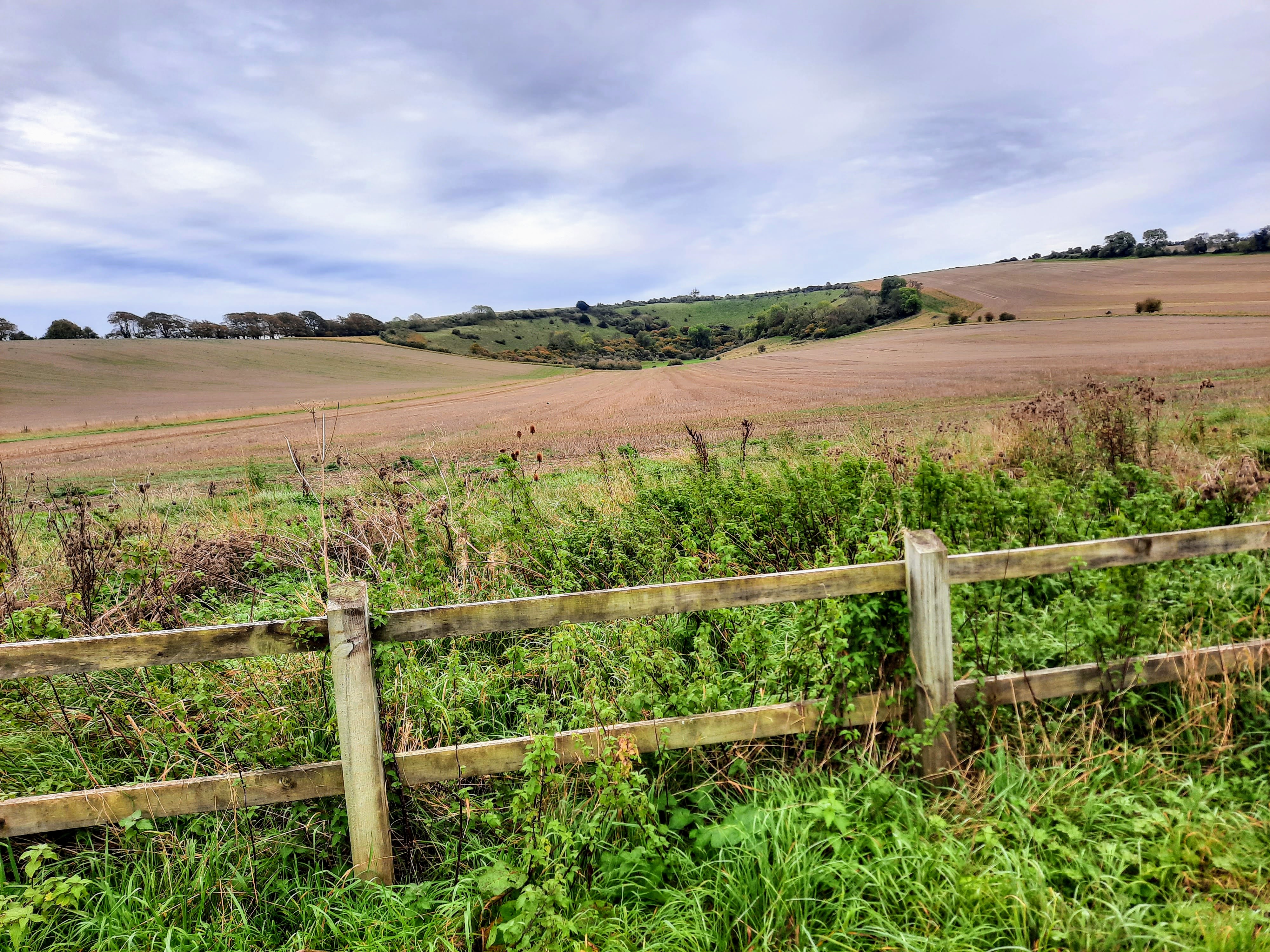
Once past the woods here it opened out into what was described as a "wonderful view of the south downs"

 The path continued all the way down to the river Arun, and an overly designed and constructed bridge ... we crossed over to the "wrong" side of the river and continued around on the river bank to the village around Amberley train station.


 A strange bit of map reading to translate the path that leaves from what appears to be the middle of the main road bridge, and we were on on the other side of the road heading south along the east bank of the river.


Looking back you could see the track of the south downs way carved out of the hillside where we had descended.


Turnign back north we headed up the other bank of the Arun, looking for somewhere to eat, however this section was all in the woods, rising up from the river, and bounded on the other side by the estate wall - all rather dank and forbidding with only glimpses of a view.
We ended up eating huddled out of another bust of rain in the roots below a large chestnut tree at the start of the path back up to the road back to the van.


This path rose steeply on steps back up to the the road, however the anticipated continuation on the other side to the bridleway did not materialise and we faced an short section along the busier than expected road until we could get off onto the bridleway.
Finally up this well used track back to the car park and the van
An interesting walk grabbed out of some changeable conditions, and certainly a need for a wash off all around once back home.