 Another lockdown walk however a day later this week ... because of
issues over at Uckfield. Heading again to the South Downs, and beyond Midhurst
on small country lanes to a small village called South Harting, A carpark on
the South Downs way just outside the Uppark country estate grounds. When we
arrived there were a few cars doing the early dog walk thing, and a complex
set of instructions on how to pay via an app on your phone all for £3.
Another lockdown walk however a day later this week ... because of
issues over at Uckfield. Heading again to the South Downs, and beyond Midhurst
on small country lanes to a small village called South Harting, A carpark on
the South Downs way just outside the Uppark country estate grounds. When we
arrived there were a few cars doing the early dog walk thing, and a complex
set of instructions on how to pay via an app on your phone all for £3.
The
route today would go down to the village along the bottom of the ridge then up
to meet where we had been last week and then back along the top. I think we
should have gone the other way around, as I had not anticipated the amount of
undulation on the tops.


In the village itself the church was a mixture of styles and a green copper
roof visible from a long distance.

 Following the road out of the village to Elstead, we picked up a footpath
across the fields into East Harting (there was a west as well, but we did not
see any sign of North)
Following the road out of the village to Elstead, we picked up a footpath
across the fields into East Harting (there was a west as well, but we did not
see any sign of North)

 Here we took a path that went through a fam yard, filled with Sheep in lambing
pens, so Bertie had to be on his best behaviour, before cutting over towards
the ridge again and picking up a chalk track heading under the ridge.
Here we took a path that went through a fam yard, filled with Sheep in lambing
pens, so Bertie had to be on his best behaviour, before cutting over towards
the ridge again and picking up a chalk track heading under the ridge.

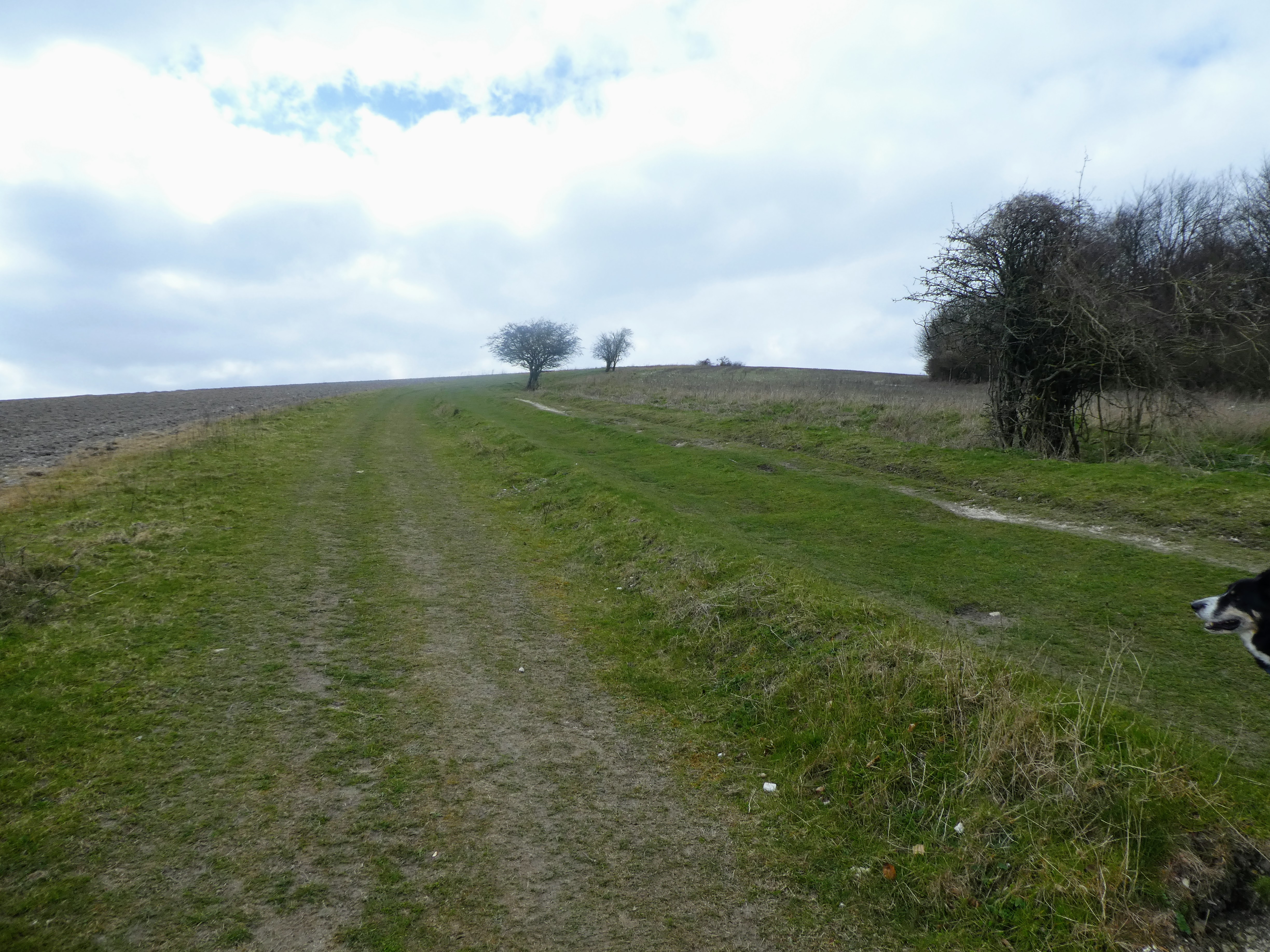
 This track mutated into a path besides the fields - still quite dry compared
to some recently, and we could now see the bobble on the ridge we would aim
for - Treyford Hill.
This track mutated into a path besides the fields - still quite dry compared
to some recently, and we could now see the bobble on the ridge we would aim
for - Treyford Hill.

 After diverting around some new building works the track ended up on a paved
road - actually the access road to Buriton Farm, which switch backed its way
up the steep side to the ridge.
After diverting around some new building works the track ended up on a paved
road - actually the access road to Buriton Farm, which switch backed its way
up the steep side to the ridge.

 As the road cut back a second time we departed off to the left and up the side
of the treyford hill, As we got out of the trees the view opened up to the
north.
As the road cut back a second time we departed off to the left and up the side
of the treyford hill, As we got out of the trees the view opened up to the
north.

 Time for some sustenance and a rest ... to the west we could see the
path on the ridge we would follow later
Time for some sustenance and a rest ... to the west we could see the
path on the ridge we would follow later

 After our early lunch we dropped down the back side of the hill passed the
Devils jumps, where we had been last week, to pick up the South Downs Way as
it curved around the hill top we had just been up and back down to a hanging
valley with the road and farm. In hindsight this detour may not have been
worth the effort expended, but it did add 100m ascent to the daily total.
After our early lunch we dropped down the back side of the hill passed the
Devils jumps, where we had been last week, to pick up the South Downs Way as
it curved around the hill top we had just been up and back down to a hanging
valley with the road and farm. In hindsight this detour may not have been
worth the effort expended, but it did add 100m ascent to the daily total.

 From this road we continued on the South Downs Way as it gently rose on the
other side to Penn Hill, keeping to the northern edge of the ridge.
From this road we continued on the South Downs Way as it gently rose on the
other side to Penn Hill, keeping to the northern edge of the ridge.

 The top of the hill was marked by a cattle grid, and looking back we could see
the top we had come from behind.
The top of the hill was marked by a cattle grid, and looking back we could see
the top we had come from behind.


Ahead was a fairly steep drop before a seemingly viscous climb up to Beacon
Hill ... the South Downs Way skirts around the south side of this hill,
but it was a more direct route.

 The descent from Pen hill looked quite daunting from half way up the other
side, but as the slope eased up we began to see everything open up.
The descent from Pen hill looked quite daunting from half way up the other
side, but as the slope eased up we began to see everything open up.
 North and south panoramas.


 The top used to hold a Semaphore in the Napoleonic wars, and you could make
out Portsmouth in the misty haze.
The top used to hold a Semaphore in the Napoleonic wars, and you could make
out Portsmouth in the misty haze.


Unfortunately there was yet another bump before we got back to the car, and it
stretched out before us ... the descent was almost as steep as the ascent up
the other side. Going down to a large pasture area hanging valley.

 A nice sign post on a cairn at the bottom pointed the way onwards and up the
other side to the top of Harting Downs.
A nice sign post on a cairn at the bottom pointed the way onwards and up the
other side to the top of Harting Downs.


The top itself had a copse of trees like a mini Chanctonbury.

 The copse nestling on the last top before going down to the car park.


On the other side we could see the ruined tower we had passed (but not seen) at the start.
Back at the van ... 14kms and 400m ascent ... the furthest on our lockdown walks.

