

The route started off on the farm drive, and through some suspiciously empty
cow sheds before rising up to the skyline.


Looking back gave views of the track down from the other side (coming from
Bignor).


More rolling track between fields ... we were heading for the woods on the far ridge.


The signpost at the top of the first rise and a crossing of bridleways.
The track had lost the metalled surface and returned to the more natural
chalk stones.


Now on top of the rolling downs everything flattened out, following a
substantial track way between the fields. crossed by the occasional track
going north/ south.


More rolling track between fields ... we were heading for the woods on the far ridge.
The last look around to the north before we dropped down the Southern side
of the ridge


Entering the woods - still on a wide chalk based track, we skirted a large
house and grounds with a high chain-link fence, as the track turned down
hill and south, before arriving at the "Devil's Jumps" a series of
prehistoric burial mounds.


Coming out of the woods we left the South Downs Way as it turned back up
to the ridge, and headed across some fields and down a valley once
occupied by some monks from a nearby abbey.
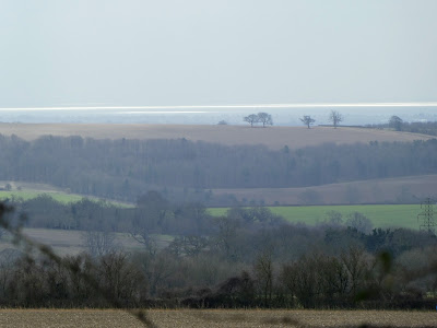
The sun was shining on the sea to the far south, creating quite an effect.


From the remains of the Monks settlement we were back on farm tracks as
they continued South and East until they met the public roads at a pair of
houses.
We followed this road as it wound around the edge of the forest to the
north and the farm land to the south.
There was a lot of evidence that people parked on the side of these roads
before heading through the forest.


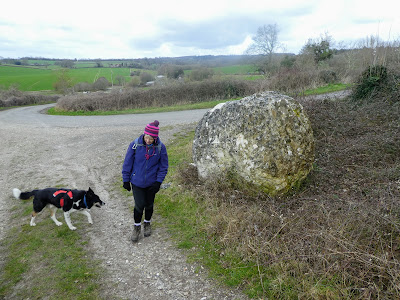
We left the road for a short cut up over a small rise, the path was marked
by one of a series of chalk "balls" left at various points along our walk.
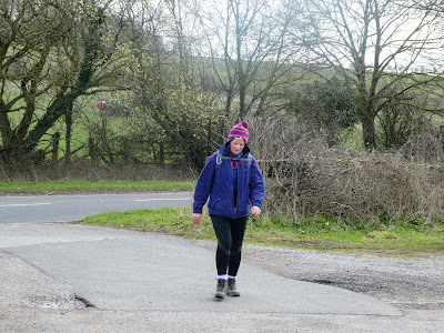
Stopping for a bite and a drink on a convenient tree stump, before
touching the road once more.


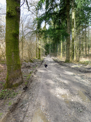
Taking a forestry track (very well used and lined with timber stacks cut
recently) we turned back North East on the final side of our triangle.


The track got slightly rougher as it climbed towards a shoulder, and the
trees changed from native deciduous into more firs.
here we came across a charcoal (or was that hooch) maker's camp where they
were firing up one of the bakers.


Deeper in the forest the trees were older and much, much taller ...
the track also changed into a muddy path.


Dropping down from the shoulder through even taller fir trees, we came out
on a track back through the fields ... once again high hedges to each
side, and a nearly straight descent back down to the valley, and to the
car park .. we could not take the farm track and had to use the road
verge, but only after looking at the disused railway tunnel where it had
once crossed to Cocking, and hence on to Midhurst, I guess from
Chichester.
A longer walk and welcome sit down in the van.
