25 April 2021

Truleigh Hill circuit, South Downs

Continuing on the South Downs Way again this week, we headed back to Bramber to go East, an early start brought us to the car park on the side of the Shoreham road very near where the South Downs Way crosses and looks up at the ridge continuation to the aerials on Truleigh Hill.

Turning off the roadside onto the track as it went straight up the hillside. On the other side of the valley we could see the route we had taken from Chanctonbury ring, and down past the pig farm.
As the slope eased up there was a fantastic view West in the early morning sun.
Picking out the cathedralesque Lancing college and the remains of Bramber castle.
The track met up with a road from Shoreham and several other Byways at a carpark (we could have driven around to here as an alternative start). 
Continuing East now along the paved road, first to a farm with a huge café/ barn, then to the youth hostel. All along we were met and chased by groups either on mountain bikes or jogging - this seemed to be a centre for these activities, probably because of the nature of the track.
The track had lost the tarmac at the youth hostel, but continued as a wide chalk track, serving the masts and local farms and cottages.
The top of the hill was hidden among the masts, however as we passed the high point we could see the ridge to the east and the Devil's dyke carpark (or tree copse hiding it) standing out on the skyline
The track dropped down the other side of the hill in a wide sweep, before doing the same up the next hill (which it skirted to the south once more).
At the lowest point here was a seat and viewpoint looking north over the weald.


Over (or rather passed once more) the top and down the other side to the dip before going up the other side to the top of Perching hill.
It was now very easy to see the cars parked at the top of devil's dyke hidden amongst the trees.
We left the South Downs way and the mass of people (getting more popular as the day went on - probably due to the closeness to the car park) and headed south, picking up the Sussex Border path.
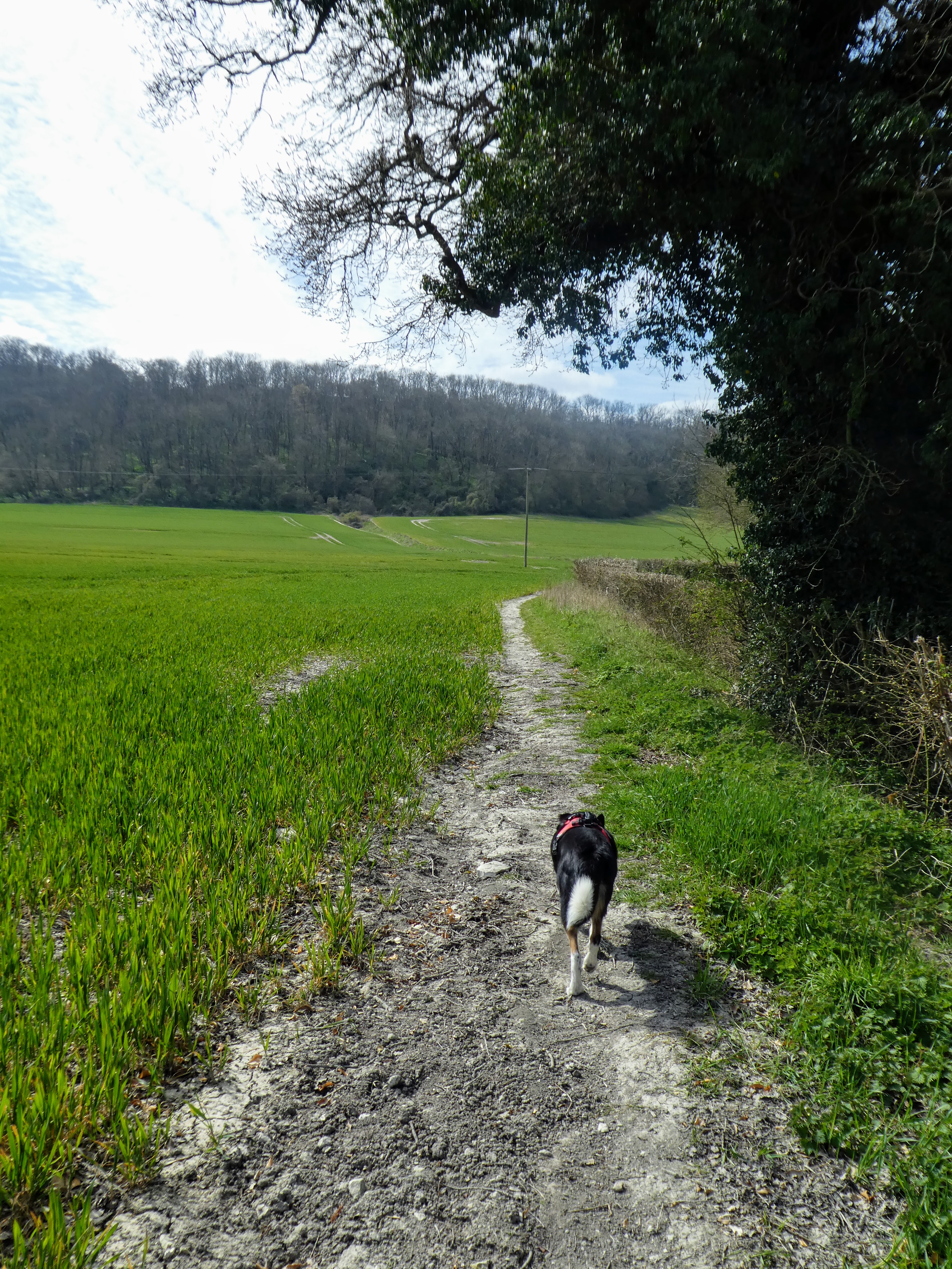
Initially cutting across the shoulder of Fulking hill, then the wide footpath through huge fields, and then a farm track over Cockroost hill.
Dropping down now towards the Mile Oak suburbs of Brighton we started to see more people, there was even a clay pigeon shooting area down in the valley below us.
In front the ridge of Southwick hill cut across the skyline showing the route we would take next tot return to where we started.
The wind had been quite fierce along the South Downs way, into our faces, and to the side along the later sections, so it was a relief to find some shelter at Mileoak barn and stop for a little refreshment.
A slanting ascent then led up the other side on a track cut into the hillside.
The track opened up into heath land on top of Southwick hill, more of a common land than the fields around. we could see the route down from Devil Dyke carpark off in the distance as we followed the vague line of the ridge back towards the start of today's route.
The top of the ridge was a mass of tracks - we followed the main trail of Monarch's way to Thunder's barrow hill. the barrow of the name being at the top of the hill.
This is where we returned to the open field structure and left the heathland behind.
Looking to the South Downs way along the ridge 
just below the climb up to the radio masts and Truleigh hill, we cut West with a final sting in the tail dip and climb. A shorter route back to the car park, and more pleasant than walking down the tarmacked road.
Ascending the side of Beeding Hill, with the reward of the seeing Chanctonbury ring appear on the horizon. 
Downhill from here, with a refreshment stop at the top car park (where we could shelter from the wind which we had picked up again along the ridge from the barrow, although being from behind it helped push us along).
The last section, down the hill to the car park and the van - a reverse of the initial climb - starting gentle and gettign steeper, until it met the road.
Our longest this year at 16kms and also the most height gain at over 500m


18 April 2021

Buriton/ Harting Circuit, South Downs

Another piece of the South Downs way jigsaw puzzle today ...  The aim was to link the section from Uppark to Buriton, just south of Petersfield.

There is a car park on the South Downs way at Buriton, but I missed the road in the tight village, and we ended up at the Church car park and duck pond where there were a number parties preparing to set out on their own journeys.
It turned out this car park was next to the path we had intended to take in the first place, so ideal.

Leaving the van under the willow trees we set off, through the fields neighbouring the village.
This path made a sharp right turn onto a chalk track (labelled as the Milky Way on the map) And another turn right onto the metalled road Pitcroft Lane, heading East alongside the fields below the ridge line.

This lane turned into a track and then into a path alongside fields, still heading along the bottom of the ridge.
Eventually the path came out onto the road going up to Sunwood farm and the Ditcham park school drive - we would see this on the return leg of the walk.
Picking another lane continuing in our direction which cut over to the Chichester road
This may be a minor road, but the speed and volume of traffic, indicated otherwise. Luckily there was a wide verge we could use to avoid walking on the road edge.
At Torberry Farm we turned the corner and headed south to the ridge and the woods.
The ridge ahead ... the climb would be right to left so not so steep.

The path rose through the woods covered in wild garlic, on a gentle slope, up to the ridge top.
Looking south -  the actual south downs ways follows the hedge line across the middle of the picture 

We paused here lookign across the valley to the folly tower on the Uppark estate opposite (we had walked underneath them whilst doing the previous section of this puzzle). It took a while to work out the fir tree nearer us was actually fake and a mobile phone mast.
Suitably refreshed we continued down to the South Downs way.
This part of the south downs way is a wide chalk track undulating and winding passed the fields on either side all belonging to the local estate.
At Sunwood farm we picked up the metalled road leading up to North lodge (and the school), before cutting down slightly in the woods.
Another undulation as we dropped down to a dip crossing the Milky way track again, before climbing again to the next knoll.
At somewhere near this point we crossed over the rail tunnel, on the next descent section, before ascending again after passing the cottages. then fairly level as we took a side path above the chalk Quarries upto the carpark that was out original target start point.
the foot[path cut down through some chalk quarries, with steep sides and the path meandered through descending back to the railway line.
There was a side trail into the quarries at the bottom, with notes on the history of lime making in the area.
However we continued on the track back to the car park and the duck pond for a peaceful lunch watching the ducks and fish