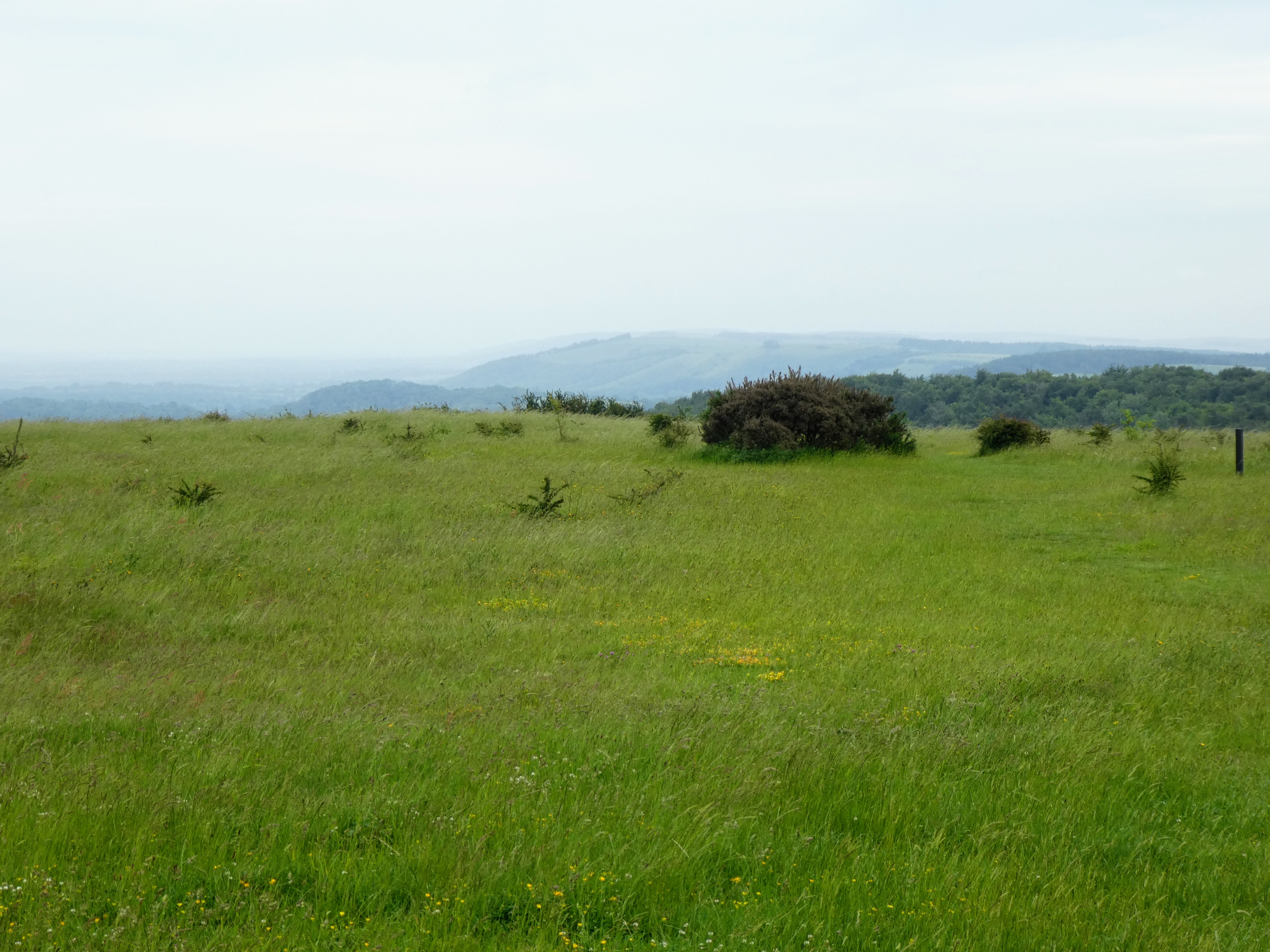
The views looking north to hassocks and Hurstpierpoint/ Burgess Hill.


We took a diversion here to follow the border path south along the top of the
ridge line, first to a copse of trees and then along side a bean field.

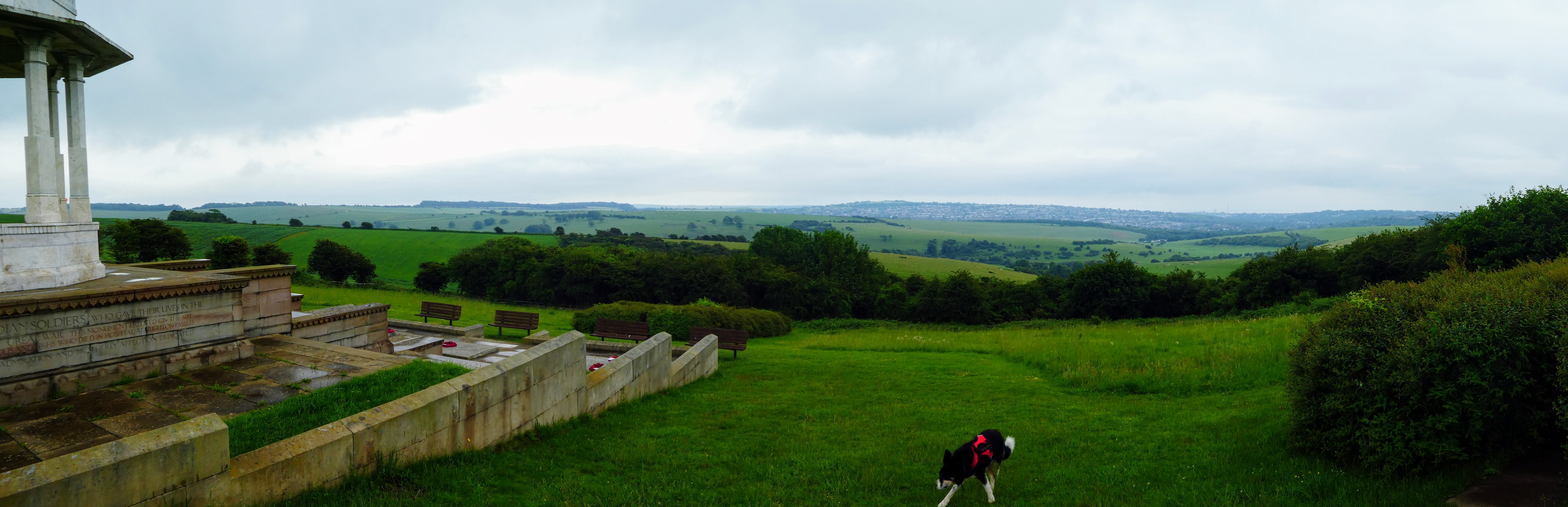
 First glimpses of the reason for the diversion came beyond the appropriate
poppies in the bean field. The Chattri Indian war memorial, sitting peacefully
in the rolling hillside in tribute to the First world war dead from the
sub-continent.
First glimpses of the reason for the diversion came beyond the appropriate
poppies in the bean field. The Chattri Indian war memorial, sitting peacefully
in the rolling hillside in tribute to the First world war dead from the
sub-continent.


 Turning to go back to the cross roads, in the distance the two windmills. the
occasional showers now started, but not enough to be wetter than the fall out
from the long grass earlier.
Turning to go back to the cross roads, in the distance the two windmills. the
occasional showers now started, but not enough to be wetter than the fall out
from the long grass earlier.

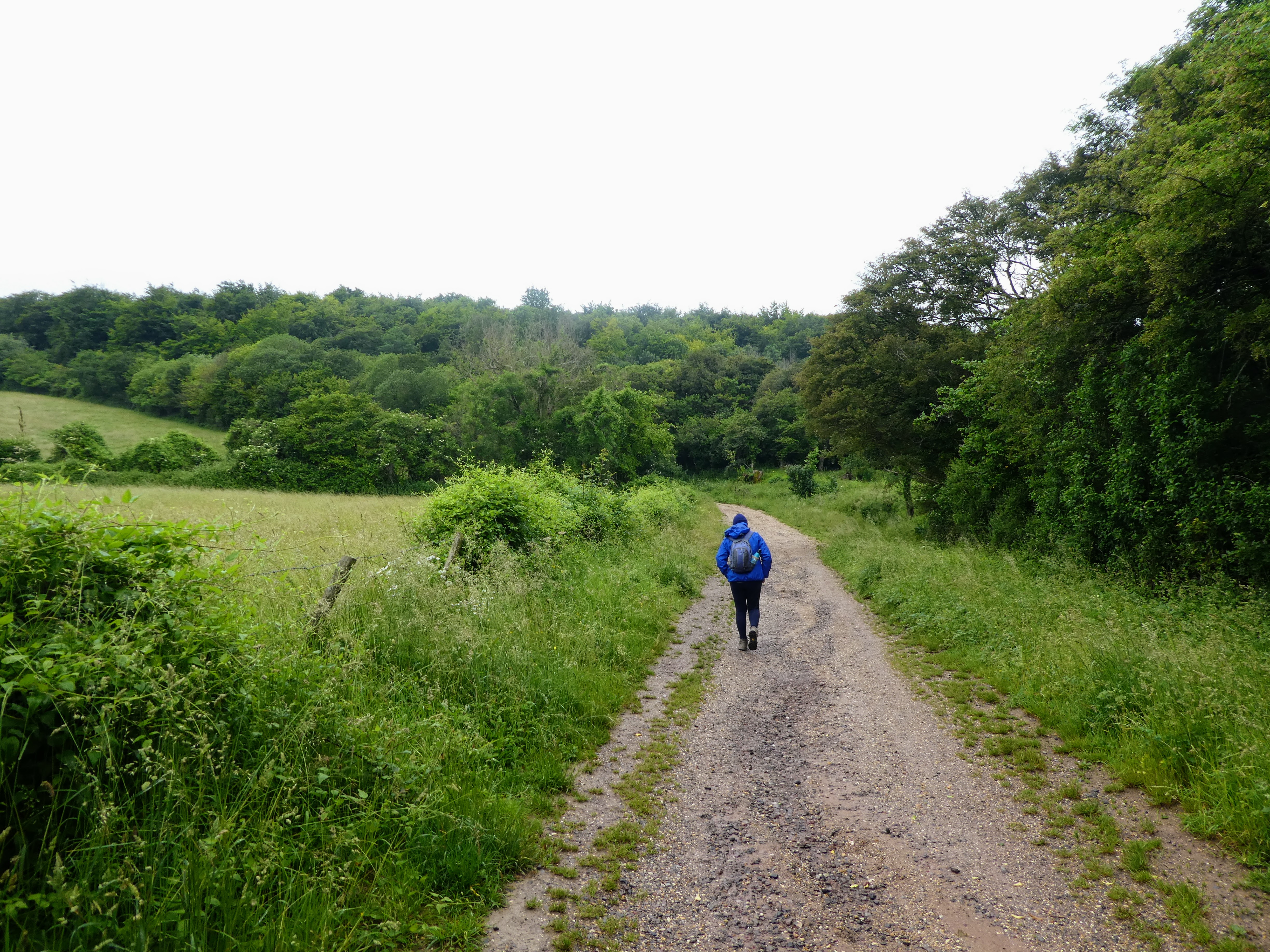
 Back at the crossroads we continued on the original path dropping down a farm
track to the collection of buildings at Lower Standean.
Back at the crossroads we continued on the original path dropping down a farm
track to the collection of buildings at Lower Standean.


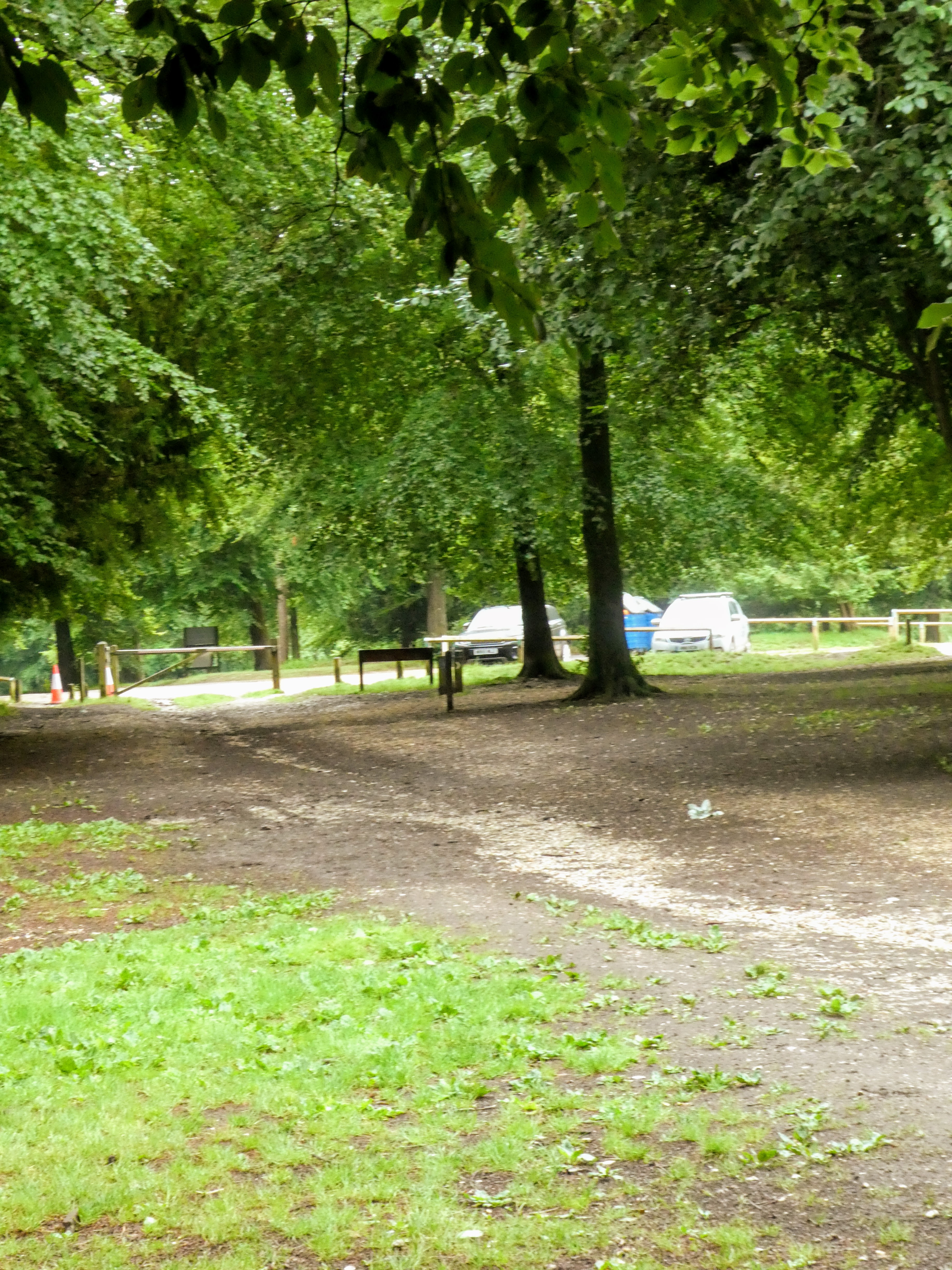
Things went a little awry here as I searched for the bridle path that was
overgrown and disused in preference to a farm track that skirted the buildings
to the left.

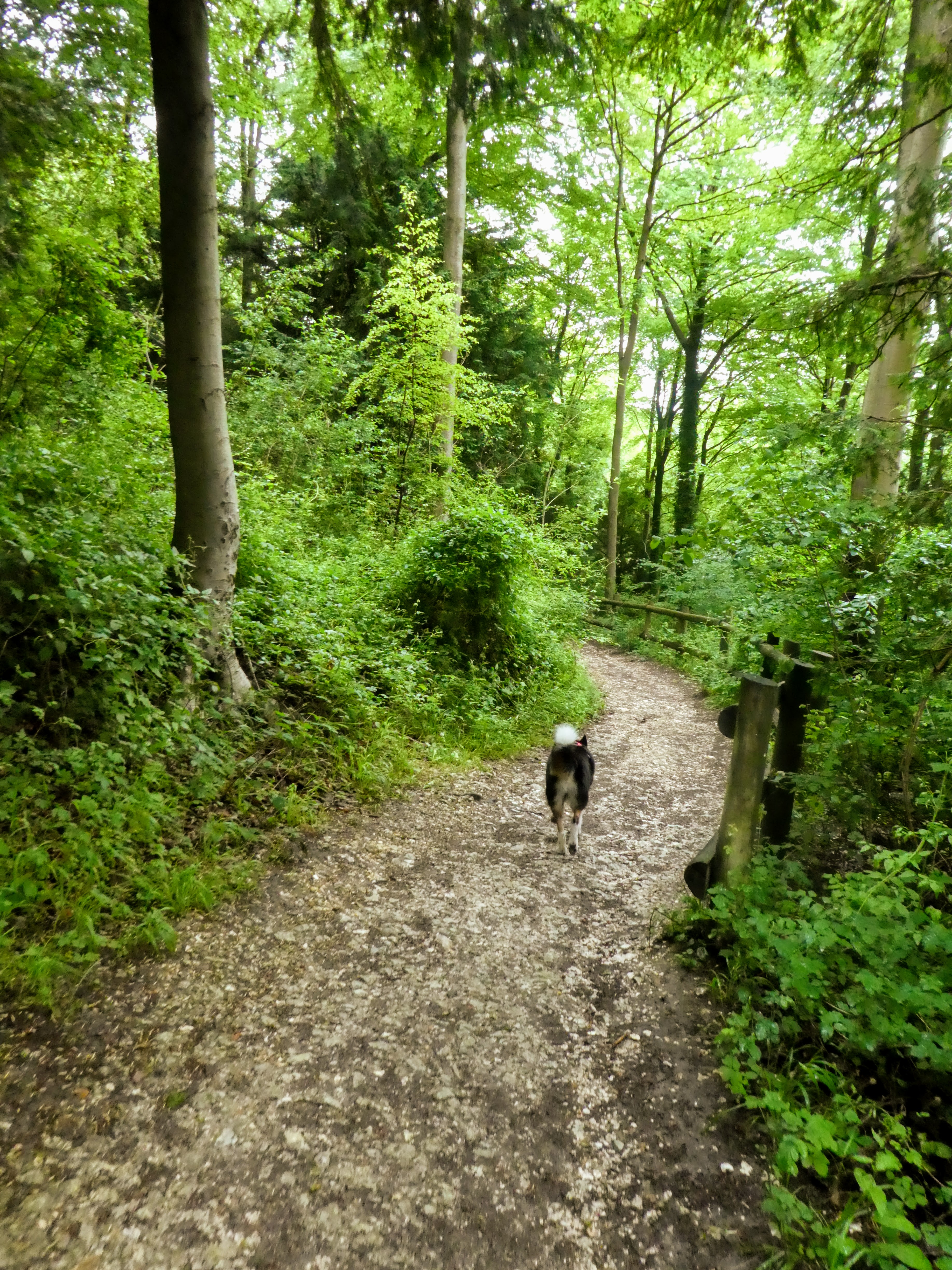
 The track headed off into a long pasture valley full of sheep (and a gourmet's
delight of poo for Bertie). North Bottom as it was called followed around the
bottom of the valley before cutting up tot eh skyline south of the beacon. A
bit of a slog through the field with a steepish rise at the end.
The track headed off into a long pasture valley full of sheep (and a gourmet's
delight of poo for Bertie). North Bottom as it was called followed around the
bottom of the valley before cutting up tot eh skyline south of the beacon. A
bit of a slog through the field with a steepish rise at the end.

 Having climbed the steeper section it did not seem as bad when looking down
into the pasture.
Having climbed the steeper section it did not seem as bad when looking down
into the pasture.
However after barging through some brush and climbing a fence we met up with
the track again.


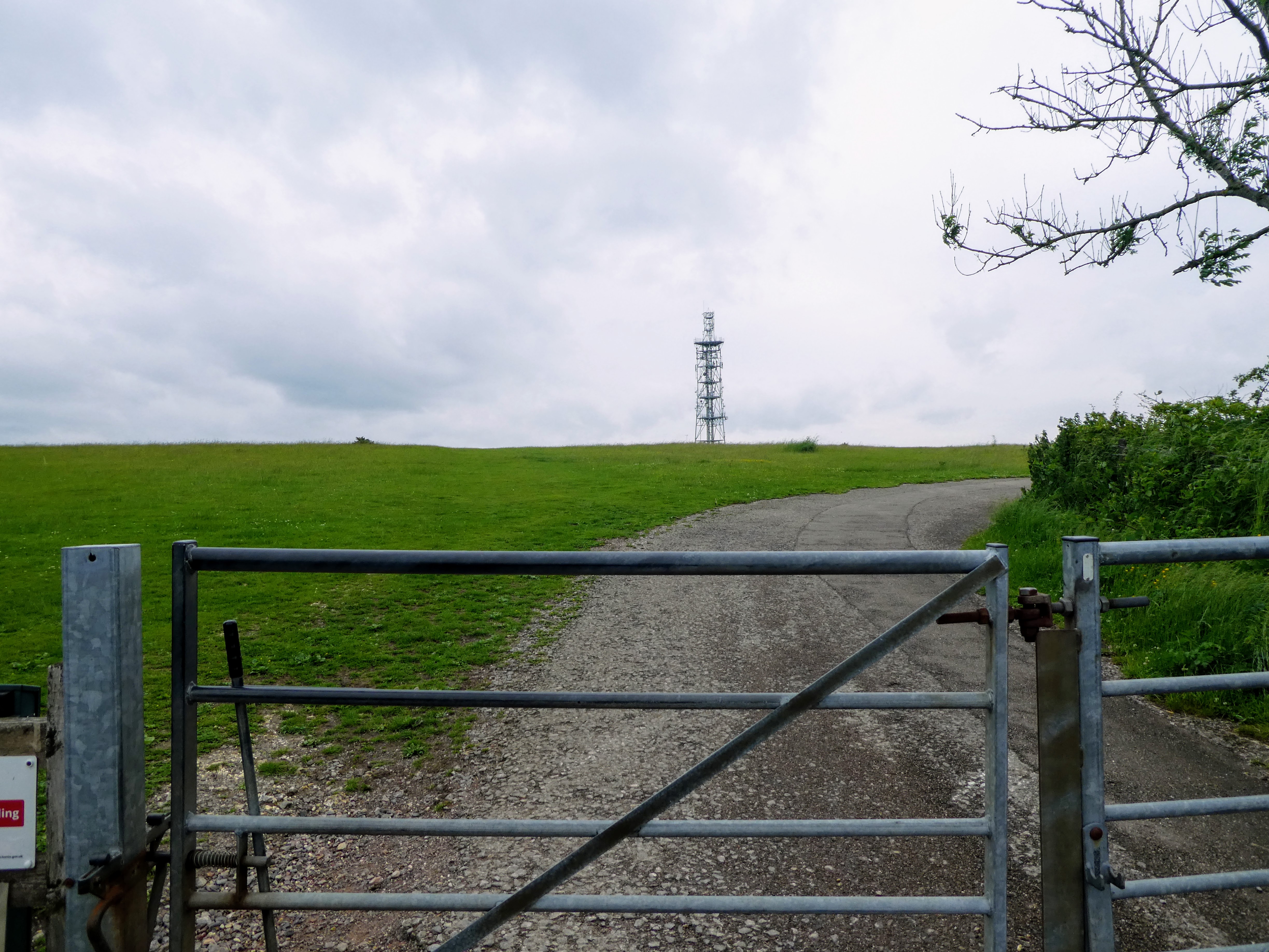
Time for a refreshment pause before continuing up the track.

 A succour for punishment, but also to take in the trig point on the beacon, I
took a diversion from the main track to go through the barley field heading
for the Ditchling Beacon top.
A succour for punishment, but also to take in the trig point on the beacon, I
took a diversion from the main track to go through the barley field heading
for the Ditchling Beacon top.

 The path soon disappeared into the barley and we ended up getting very wet
legs from the water held in the stalks as we brushed past.
The path soon disappeared into the barley and we ended up getting very wet
legs from the water held in the stalks as we brushed past.


Heading up to the mound and the SDW running across the tops.
 the view north from the trig point.

 Looking East towards Blackcap, and West back to the windmills (hidden behind
the trees).
Looking East towards Blackcap, and West back to the windmills (hidden behind
the trees).


 The SDW follows along the ridgeline with only slight undulations. The
excitement for Bertie were the numerous Dew ponds along the way, where he had
to drop into each one.
The SDW follows along the ridgeline with only slight undulations. The
excitement for Bertie were the numerous Dew ponds along the way, where he had
to drop into each one.

 Meeting the Sussex Border path again as it cut over the ridge (with a new
signpost) meant it was all down hill from here, back top the windmills.
Meeting the Sussex Border path again as it cut over the ridge (with a new
signpost) meant it was all down hill from here, back top the windmills.


The path also changed with more gravel and a defined surface.

 The windmills showing up over the hedges as we drew near.

 Just to finish off with a diversion around the other (north) side of the windmills and a view to a further windmill outside Burgess hill in the distance.
 Back in the van and lunch with a view over the weald below and Jill behind before heading home.