
We had planned a figure of eight circuit through the QE park and up Butser hill on the other side of the A3, then back

The track turned sharply left and continued to climb.

 A strange sculpture to the side of the track gave reference to the
"shipwrights way" and Hampshire sheep - presumably taking wool to the docks.
A strange sculpture to the side of the track gave reference to the
"shipwrights way" and Hampshire sheep - presumably taking wool to the docks.


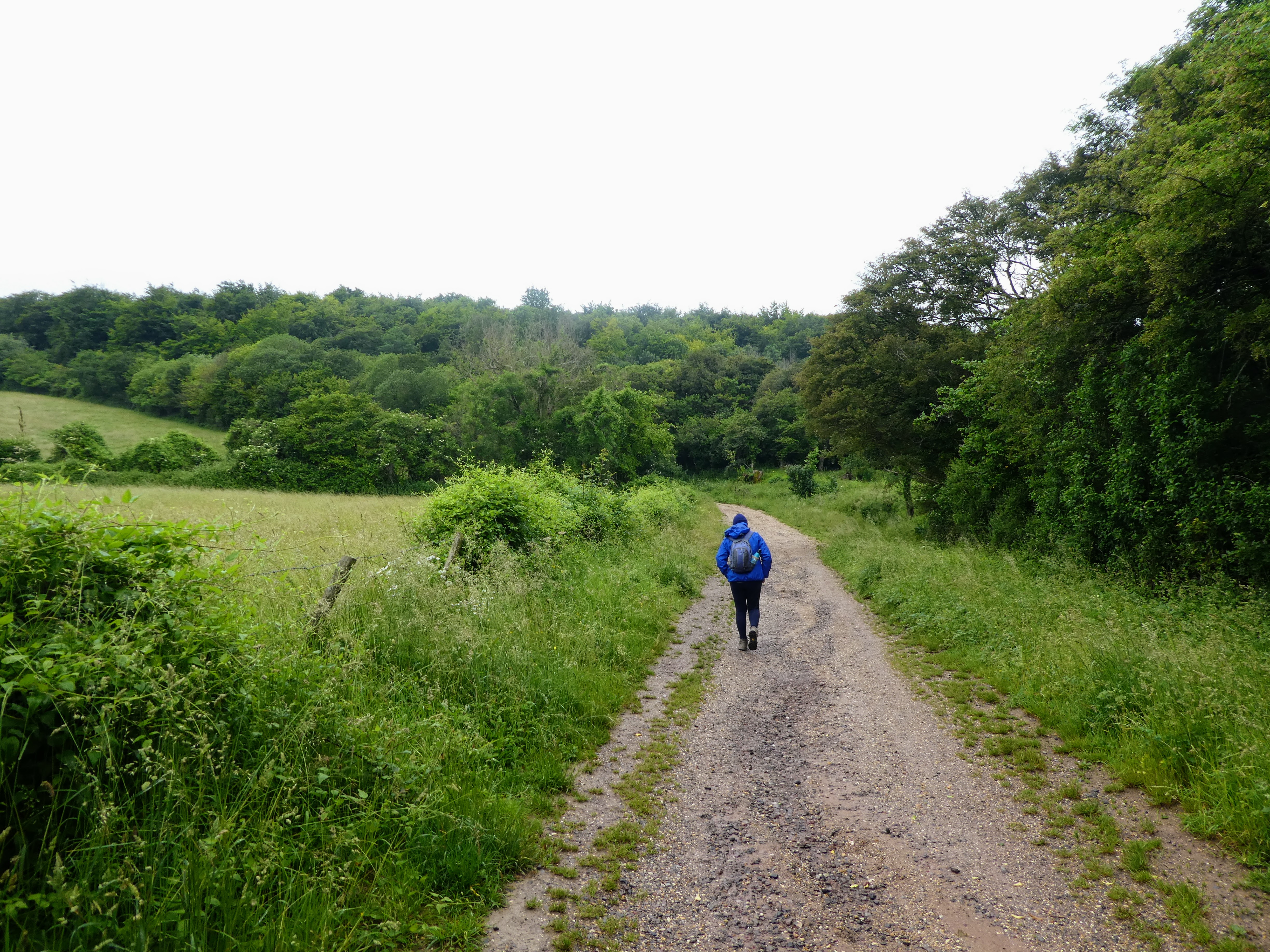
Down in the bottom of the valley you could just pick out the route we would
use to return to the van.

 There was a convenient trail up to the right climbing in the right direction
into the beech woods, to cut the switch back of our original plan. This turned
out to be a mountain bike track, but with no one around was safe to go up.
There was a convenient trail up to the right climbing in the right direction
into the beech woods, to cut the switch back of our original plan. This turned
out to be a mountain bike track, but with no one around was safe to go up.


the first track we came to was not the right one for us and we crossed over to
continue up the bike track - there is a little sign in the bushes to indicate
its use, and direction of travel .... there was a much bigger one at the end
where we came out onto the "correct" track for the walk higher up.

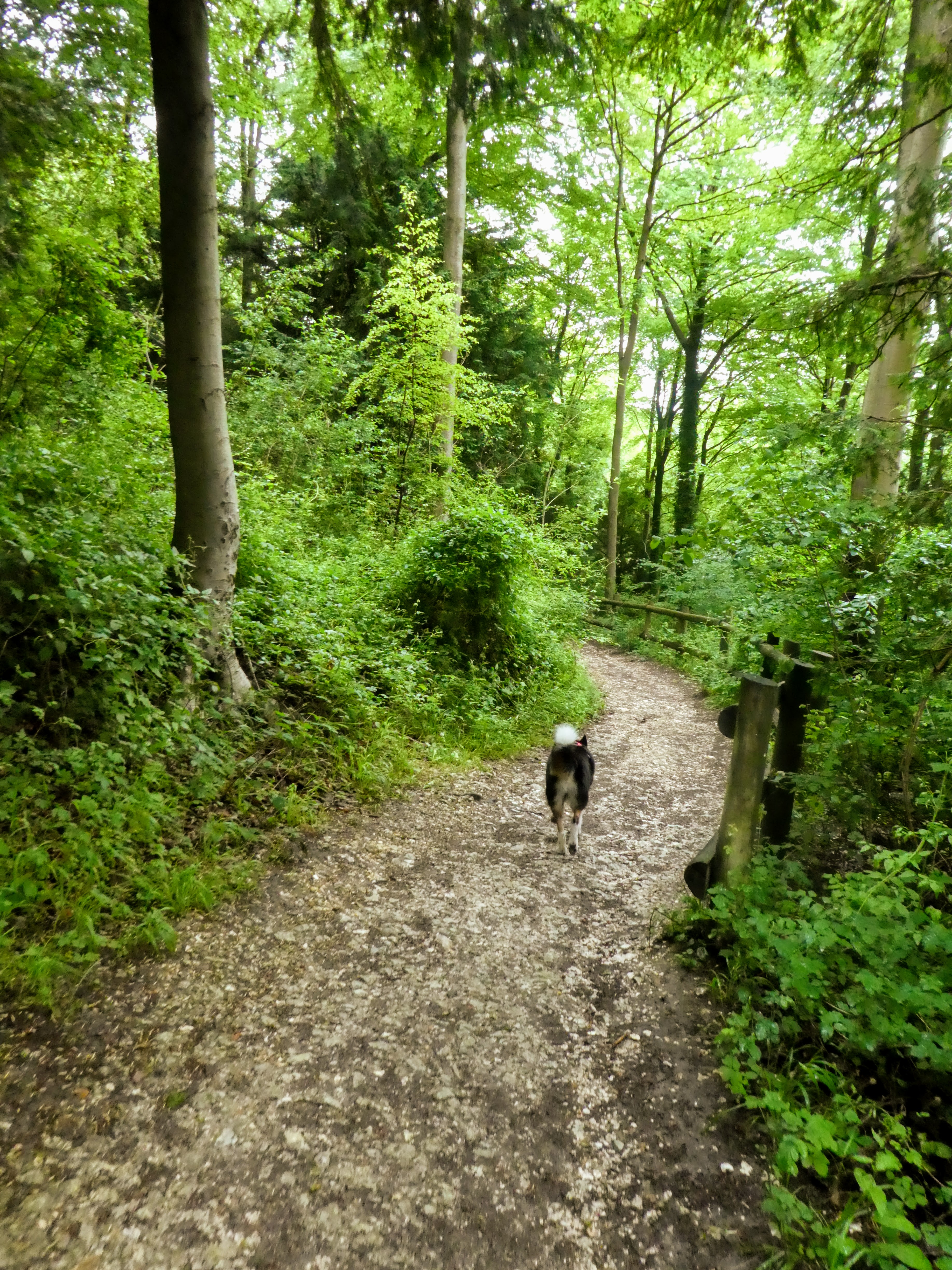
 Now on the forest track ... more like a dirt road - cutting through the
beech woods in a very gradual ascent. the track curved around 180 degrees to
reach the summit of this bump.
Now on the forest track ... more like a dirt road - cutting through the
beech woods in a very gradual ascent. the track curved around 180 degrees to
reach the summit of this bump.


There was a large clearing with a few scattered picnic tables, but the views
over to Butser hill had been overgrown.

 Staying on the track as it gently descended to the main car parks for the
country park we could not see much to either side of the track, except where
clearings had been created for large picnic areas.
Staying on the track as it gently descended to the main car parks for the
country park we could not see much to either side of the track, except where
clearings had been created for large picnic areas.

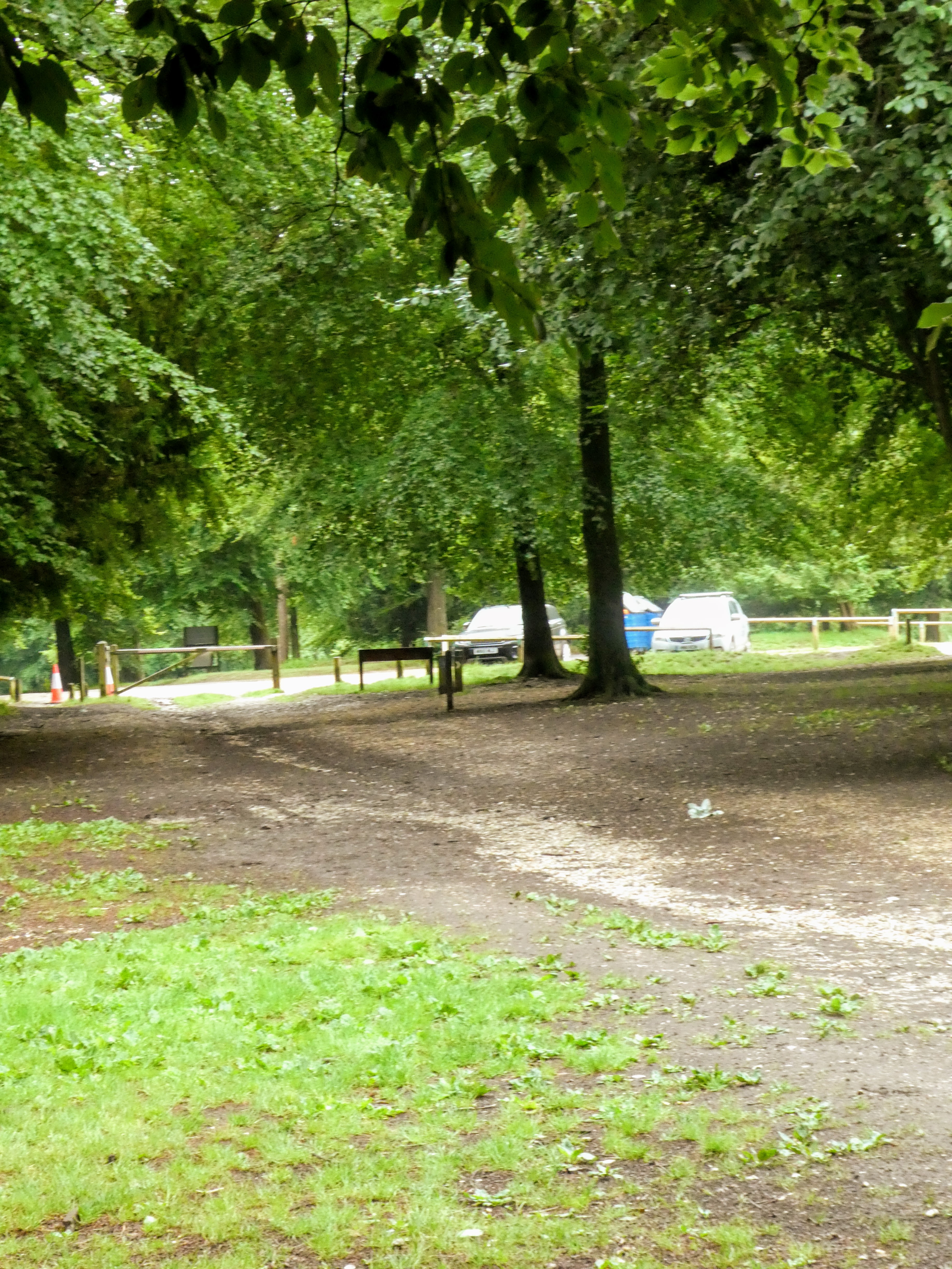
 Coming to the top car park, also brought within a lot of infrastructure - as
well as the parking areas there was also a facilities block, a huge bar-b-q
shed, an assault course, as well as outdoor exercise equipment scattered all
around.
Coming to the top car park, also brought within a lot of infrastructure - as
well as the parking areas there was also a facilities block, a huge bar-b-q
shed, an assault course, as well as outdoor exercise equipment scattered all
around.

 Out of the side of the parking area the track (following purple boot marks)
continued down hill through the beech woods. Gently at first before becoming
steeper and cutting around to above the main entrance parking area and
shop.
Out of the side of the parking area the track (following purple boot marks)
continued down hill through the beech woods. Gently at first before becoming
steeper and cutting around to above the main entrance parking area and
shop.

 The final section was a series of switchbacks down to the road and the
facilities. Looking at the parking charges, I was glad we had found the
"alternative" parking spot, especially as we were not making much use of all
the infrastructure, and just passing through!
The final section was a series of switchbacks down to the road and the
facilities. Looking at the parking charges, I was glad we had found the
"alternative" parking spot, especially as we were not making much use of all
the infrastructure, and just passing through!

 We had to cross over the dual carriageway of the A3 here via an underpass,
then up the other side into a much less well facilitated parking area on a
slight lip before crossing over to the Butser reserve.
We had to cross over the dual carriageway of the A3 here via an underpass,
then up the other side into a much less well facilitated parking area on a
slight lip before crossing over to the Butser reserve.


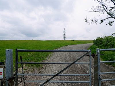
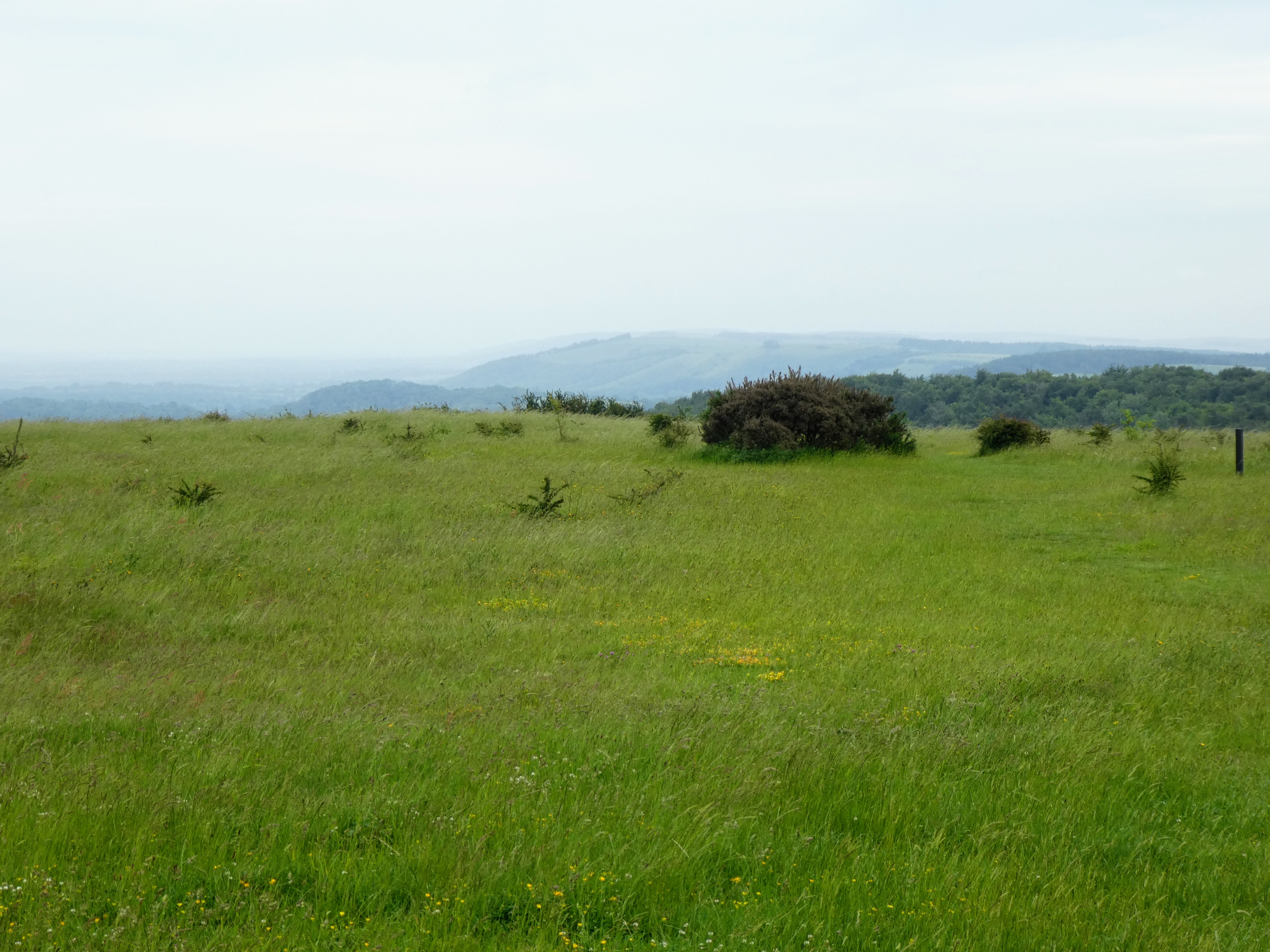
 The panorama opened out in front of us, and we could see the masts ahead and
the main tracks up and down (there were two obvious grassy ridges coming
forward from the skyline above).
The panorama opened out in front of us, and we could see the masts ahead and
the main tracks up and down (there were two obvious grassy ridges coming
forward from the skyline above).


We would go up the left hand one

 The track rose directly up fairly steeply until it reared up and got quite
steep at one point, then through a gate it settled down again - not sure about
riding up it though.
The track rose directly up fairly steeply until it reared up and got quite
steep at one point, then through a gate it settled down again - not sure about
riding up it though.

 The top was fairly rounded as we came up towards it. Good views down to the
road and the traffic flowing through the gap below.
The top was fairly rounded as we came up towards it. Good views down to the
road and the traffic flowing through the gap below.

 The roof of the round house (the facilities for the car park showed above the
skyline, and we headed over for a quick drink in the lea of it sheltering from
the wind.
The roof of the round house (the facilities for the car park showed above the
skyline, and we headed over for a quick drink in the lea of it sheltering from
the wind.
 the radio mast is slightly separate from the trig point on the top.


The views from the top were not quite as far reaching as I expected ..
it could be because of the low cloud making things less visible, but also the
top being so rounded did not make it a great vantage point.
 looking along the south downs to the east ... and the ridge line we had
previously walked along
looking along the south downs to the east ... and the ridge line we had
previously walked along
 Looking to the coast and somewhere between Chichester and Portsmouth,

 Setting off back down hill it was just a track over the skyline, before the
actual view down into the valley came later on.
Setting off back down hill it was just a track over the skyline, before the
actual view down into the valley came later on.


We followed the ridge down to above the cutting for the road and then cut back
to the right to re-join the path we had taken going up.

 Along the path in the bottom of the valley and back through the car park to go
once more under the dual carriage way and come out in the visitors centre.
Along the path in the bottom of the valley and back through the car park to go
once more under the dual carriage way and come out in the visitors centre.

 into the beech woods just above the visitor's centre - the exact route of the
SDW here is a bit disguised by all the other tracks and routes around, as well
as having been altered slightly to accommodate all the other users like horses
and bikes.
into the beech woods just above the visitor's centre - the exact route of the
SDW here is a bit disguised by all the other tracks and routes around, as well
as having been altered slightly to accommodate all the other users like horses
and bikes.

 Roughly on track, following a path in the general direction we cut above the
picnic area and a pond, until we met the park road, where there was a clear
sign for our route, up a gravel road.
Roughly on track, following a path in the general direction we cut above the
picnic area and a pond, until we met the park road, where there was a clear
sign for our route, up a gravel road.

 This gravel road soon mutated into a forest track and back into the beech
woods where the fallen branches had been collected into a number of "dens"
This gravel road soon mutated into a forest track and back into the beech
woods where the fallen branches had been collected into a number of "dens"

 Completely enclosed by the trees there was not much to see as we climbed
gently upwards through the woods in a relatively straight direction.
Completely enclosed by the trees there was not much to see as we climbed
gently upwards through the woods in a relatively straight direction.

 We only realised we had reached the top of this knobble when the path tilted downwards again, followed by a meeting with a gravel trackway - this was the same track we had started on before we had climbed up the cycle track.

 Taking a more direct route down and across some fields, seemed simple until we met the cows .. luckily there was only one curious one and we soon bypassed them.


Back to the van for lunch and a return home.
