

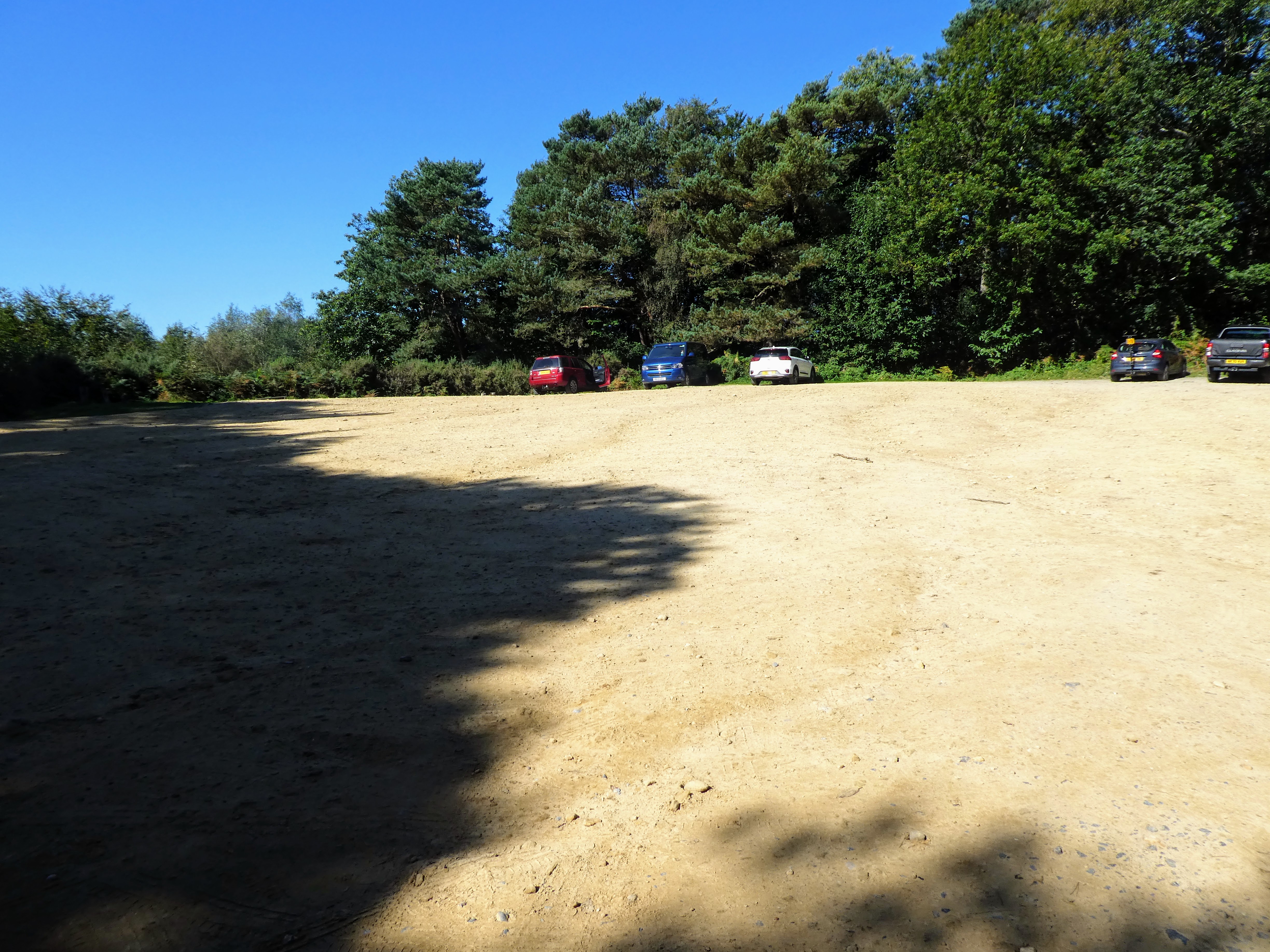
We left home relatively early and hit school traffic on the single track
Radnor Lane, causing us to have to climb the road banks to go past. The large
parking area at the top of the slope was relatively empty, and we parked in a
quiet corner before heading off following the large tracks towards the
Holmbury Hill viewpoint.

 The signs for the greensand way were lost in the large tracks, but they were
all heading in the general direction upwards.
The signs for the greensand way were lost in the large tracks, but they were
all heading in the general direction upwards.


Arriving at the top of the hill, with the open viewing area ... the map also
shows this as an old Iron age fort, which makes sense of the ramparts all
around.
 The view south from the top was extensive, and all the way down to the south
downs, however this morning the mist hid everything, with the sun shining down
onto the top of the curtain.
The view south from the top was extensive, and all the way down to the south
downs, however this morning the mist hid everything, with the sun shining down
onto the top of the curtain.


From here we picked up a side road leading East and to the other side of the
valley (into the rising sun).

 Picking up the point where the Greenside way track cut away from the road and
into the trees of Pasture Wood
Picking up the point where the Greenside way track cut away from the road and
into the trees of Pasture Wood

 The track undulated through the wood, up and down little valleys

 Cut logs arranged like benches around an open area outside High Ashes Farm.


At this point we turned sharply north and picked up a bridleway alongside
Leith hill road, near the car park we had used to walk to the tower.

 The bridleway had all the signs of being one of the ancient drove ways as it
cut through the valley bottom
The bridleway had all the signs of being one of the ancient drove ways as it
cut through the valley bottom
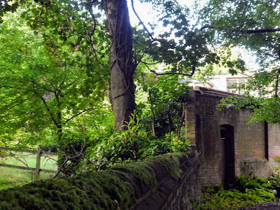
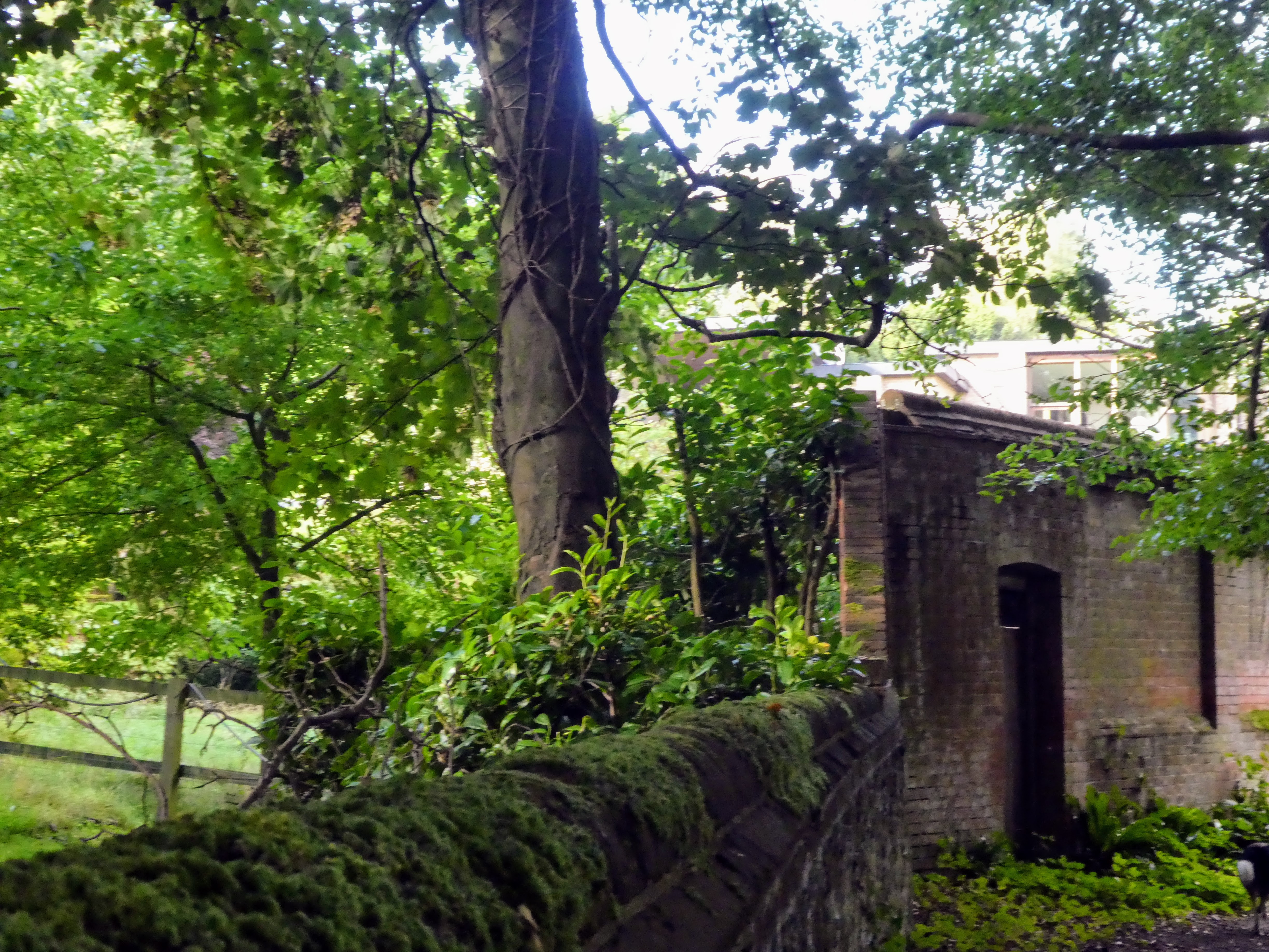
 The bridleway came out as the road bent to meet it, and we turned back West on
a track beside a large house - Parkhurst with an imposing brick wall, then
high wooden fencing to keep out the plebs.
The bridleway came out as the road bent to meet it, and we turned back West on
a track beside a large house - Parkhurst with an imposing brick wall, then
high wooden fencing to keep out the plebs.


Once after the steeper section it flattened more and we headed west on the
mountain bike trails once again.

 route finding in the woods.... many trails all over the place most not on any
maps.
route finding in the woods.... many trails all over the place most not on any
maps.

 Bertie swimming in a pond just after the youth hostel

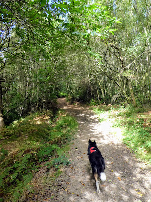
 Just outside Peaslake we turned back south at a very upmarket sign, and
followed more bike trails through teh scots pines.
Just outside Peaslake we turned back south at a very upmarket sign, and
followed more bike trails through teh scots pines.


then back on the woodland trails.


Crossing the road which led back to the car park, we got misled by the bike
trails and could not find the path down to the valley bottom beyond, and
stayed on a much more regularly used trail.

 Cutting steeply down to the valley on yet another unmarked trail we reached
the valley base, before crossing te road and starting up the other side.
Cutting steeply down to the valley on yet another unmarked trail we reached
the valley base, before crossing te road and starting up the other side.

 Picking up a wide trail heading towards Pitch hill, where we had been last
time in this area.
Picking up a wide trail heading towards Pitch hill, where we had been last
time in this area.


We continued gently up hill until we picked up the Greensand way again.
Here we turned once more to teh East adbn dropped down into the valley

 Past the Duke of Kent school, through its grounds and out the other side,
where the path was consterained into an almost tunnel between wooden
fencing.
Past the Duke of Kent school, through its grounds and out the other side,
where the path was consterained into an almost tunnel between wooden
fencing.

 Escaping from the constrictions into open pasture land, with cows in the
fields.
Escaping from the constrictions into open pasture land, with cows in the
fields.


Beyond the farm we started up the farm driveway.

 The path rose uphill to the road beside the car park. Back where we started,
with the sun now fully out I wondered if we should go back to the lookout and
see the view. A quick look at the GPS showed we had climbed just short of 500m
and this would top it out.
The path rose uphill to the road beside the car park. Back where we started,
with the sun now fully out I wondered if we should go back to the lookout and
see the view. A quick look at the GPS showed we had climbed just short of 500m
and this would top it out.


 A secondary view point we had missed in the morning - nearly stopped here for lunch, however the pull of the van was too much and we continued back to the car park.
 The van was in the sun and waiting for us ... the car park still relatively empty, and filled with cars waiting for some people on a DofE walk.


Definitely more to see now, although still a little hazy in the distance.


We had our picnic before returning home, having achieved 8m over the 500.

