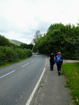
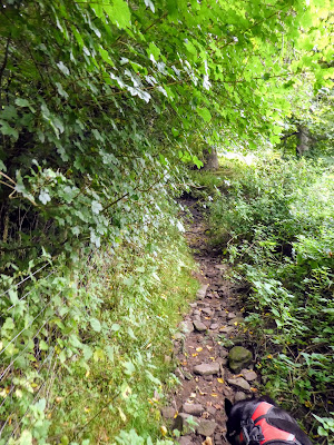
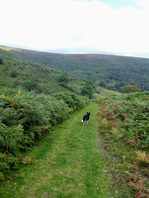
Picking up a path that rose steeply through the bushes, and even more so when it met a further track coming south around the mountain.
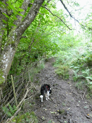
Just beside the ancient fort ramparts that were impossible to see in the ferns, we turned sharply uphill into the ferns on the only visible track.
Bertie was surprised when a pair of sheep came thundering down the track -
roll reversal
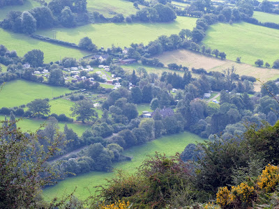
All the while we were climbing up, a helicopter was ferrying supplies for a field on the other side of the valley up to the summit plateau. We could also see the campsite below us, even Bryon's bus!
Once the steep section eased up the ferns got less and we could see a summit (Pen Tir) ahead.
The ferns gave way to heather as we cut around the first top and crossing the
higher one, following the All the while we were climbing up, a helicopter was ferrying supplies for a field on the other side of the valley up to the summit plateau. We could also see the campsite below us, even Bryon's bus!
Once the steep section eased up the ferns got less and we could see a summit (Pen Tir) ahead.
path around the end of the valley and past the track coming up from the north
traversing across to Mynydd Llangorse.
The main track here was a grassy swath through the heather and ferns. As we came
below the summit we cut up a ditch with a minor path to reach the trig pointthe view West towards Pen y fan, and then the opposite ... unfortunately the camera had some strange scenic overlay in operation.
We did not stay around the trig point for long as there were a mass of bees
flying around.
The top was very rounded, and so in order to see the Llangorse lake below we had to drop down the other side. In addition it allowed Bertie to cool off in the water hole on the way down to a suitable bump to enjoy the view as we had lunch.
The top was very rounded, and so in order to see the Llangorse lake below we had to drop down the other side. In addition it allowed Bertie to cool off in the water hole on the way down to a suitable bump to enjoy the view as we had lunch.
By zooming in we could see people on the lake below.
Back up to the trig point before droping down south to pick up the large path again.
At the hanging valley we took the path to the left which dropped down to the valley in the middle of the horseshoe.
Back up to the trig point before droping down south to pick up the large path again.
At the hanging valley we took the path to the left which dropped down to the valley in the middle of the horseshoe.
This was quite steep and impacted the knees a lot before getting to the
valley bottom at a run down farm.
From here we followed the farm driveway and then the subsequent minor road.
From here we followed the farm driveway and then the subsequent minor road.
A long trudge along the road until the valley opened out as it joined the
main one by the village.
Finally cutting across a field and we were back into the Cwmdu village. From here it was a short walk along the road to reach the bottom entry into the campsite.
Finally cutting across a field and we were back into the Cwmdu village. From here it was a short walk along the road to reach the bottom entry into the campsite.
